Apronfull Hill
Hill, Mountain in Lancashire Ribble Valley
England
Apronfull Hill
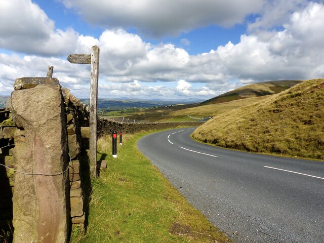
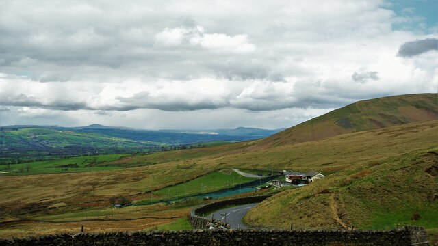
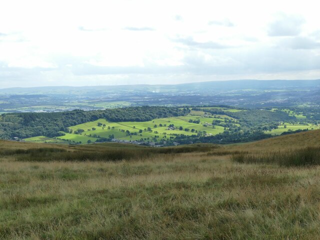
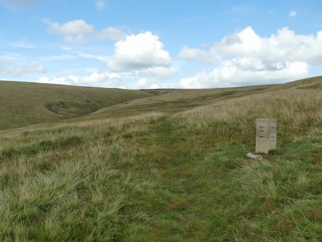
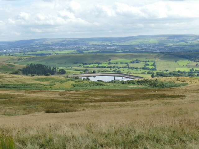
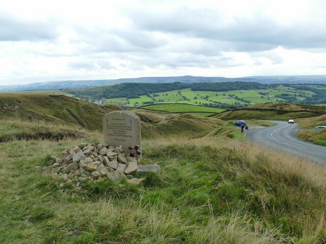
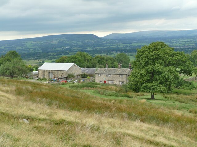
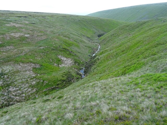
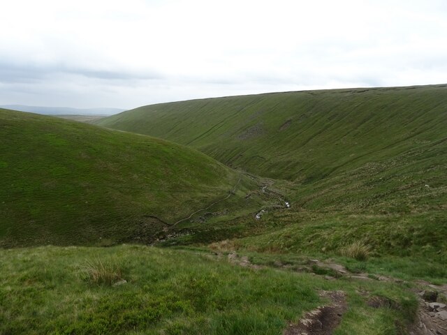
Apronfull Hill is a prominent natural landmark located in Lancashire, England. Situated within the picturesque Forest of Bowland, it is widely recognized as one of the most stunning hills in the region. Rising to an elevation of approximately 380 meters (1,250 feet), Apronfull Hill offers breathtaking panoramic views of the surrounding countryside.
The hill is characterized by its distinct conical shape, which is a result of its geological composition. Composed primarily of gritstone, the hill has developed a rugged and weathered appearance over the centuries, adding to its charm and allure.
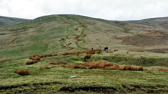
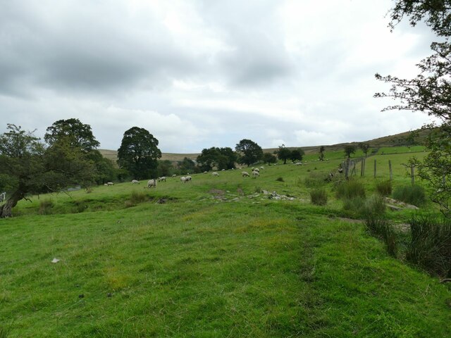
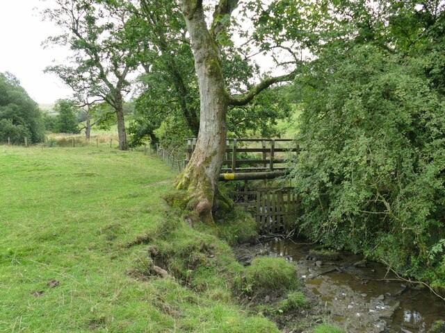
Apronfull Hill is also renowned for its rich biodiversity. The area supports a diverse range of plant and animal species, making it an important ecological site. The hill's slopes are carpeted with heather, providing a vibrant display of colors during the summer months. Visitors may also spot various bird species, such as curlews and lapwings, which nest in the surrounding moorland.
Aside from its natural beauty, Apronfull Hill also holds historical significance. It is believed that the hill was once used as a beacon site, serving as a communication point during times of conflict. Today, remnants of these ancient beacon structures can still be found atop the hill, offering a glimpse into its past.
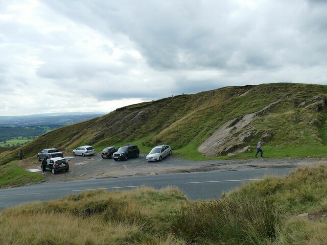
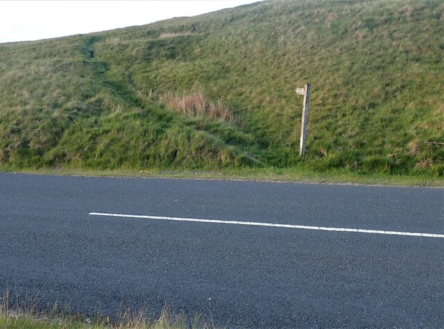
Apronfull Hill is a popular destination for outdoor enthusiasts and nature lovers alike. It provides ample opportunities for hiking, walking, and photography, allowing visitors to immerse themselves in the stunning landscapes of Lancashire.
If you have any feedback on the listing, please let us know in the comments section below.
Apronfull Hill Images
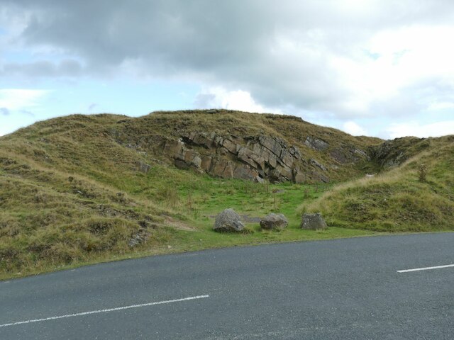
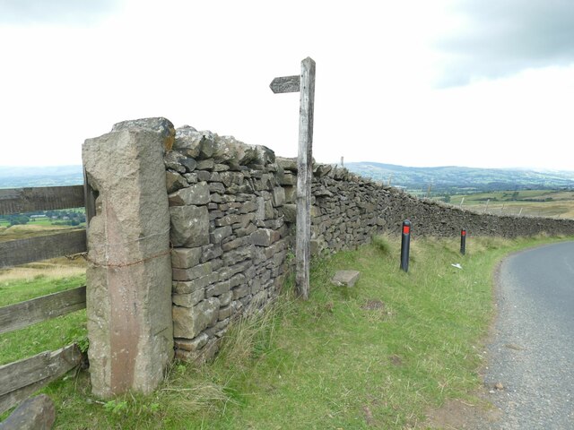
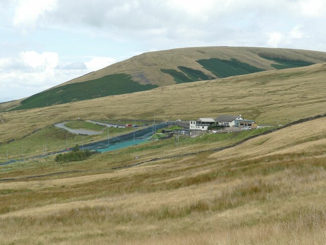
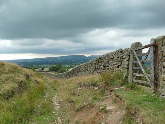
Images are sourced within 2km of 53.850281/-2.3366136 or Grid Reference SD7739. Thanks to Geograph Open Source API. All images are credited.
Apronfull Hill is located at Grid Ref: SD7739 (Lat: 53.850281, Lng: -2.3366136)
Administrative County: Lancashire
District: Ribble Valley
Police Authority: Lancashire
What 3 Words
///houseboat.shame.rattled. Near Sabden, Lancashire
Nearby Locations
Related Wikis

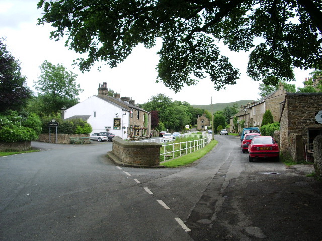
Sabden
Sabden is a village and civil parish in the Ribble Valley, Lancashire, England. Sabden is located south of Pendle Hill, in a valley about three miles north...

Mearley
Mearley is a civil parish in Lancashire, England. The parish is north-west of Pendle Hill, east of Clitheroe, and is in the Ribble Valley district. It...
Pendleton, Lancashire
Pendleton is a small village and civil parish in Ribble Valley, within the county of Lancashire, England. It is close to the towns of Whalley and Clitheroe...
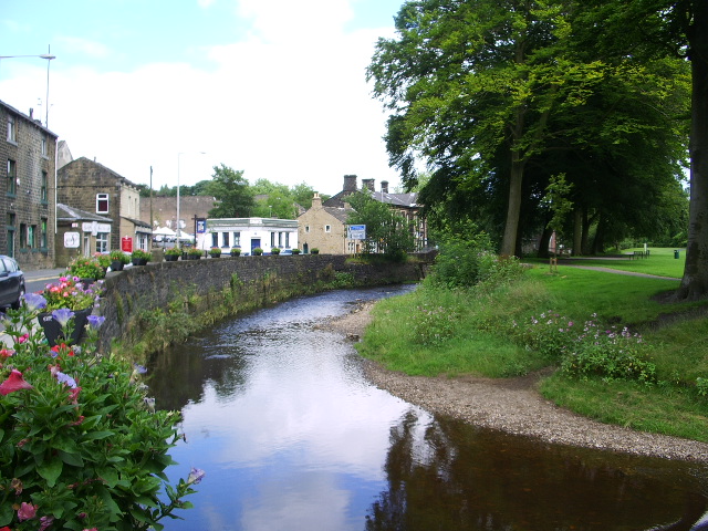
Pendle Water
Pendle Water is a minor river in Lancashire, England. Rising on Pendle Hill, Pendle Water cuts a deep valley between Barley Moor and Spence Hill, where...
Nearby Amenities
Located within 500m of 53.850281,-2.3366136Have you been to Apronfull Hill?
Leave your review of Apronfull Hill below (or comments, questions and feedback).