Hill of Cotburn
Hill, Mountain in Aberdeenshire
Scotland
Hill of Cotburn

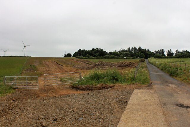
Hill of Cotburn, located in Aberdeenshire, Scotland, is a prominent hill that offers breathtaking views and outdoor recreational opportunities. Rising to an elevation of approximately 415 meters (1,362 feet), it is considered a popular destination for hikers, nature enthusiasts, and locals alike.
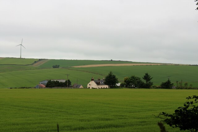
The hill is characterized by its gently sloping terrain, covered with a diverse range of vegetation, including heather, grasses, and scattered trees. Its distinctive shape and prominent position within the landscape make it easily recognizable from afar. The summit of Hill of Cotburn provides a panoramic view of the surrounding countryside, with rolling hills, farmland, and distant mountains forming an awe-inspiring vista.
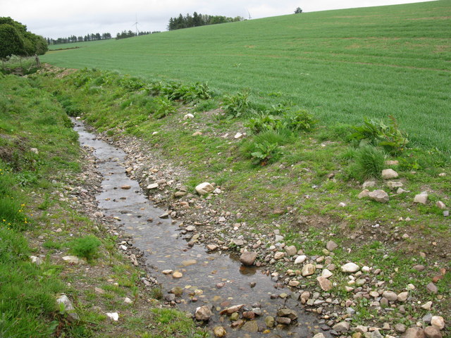
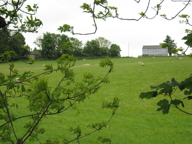
Several trails and footpaths wind their way up the hill, offering various options for hikers of different skill levels. The routes are well-maintained and provide a pleasant walking experience, allowing visitors to immerse themselves in the natural beauty of the area. Along the way, one may encounter an array of wildlife, including birds, rabbits, and occasionally deer.
The Hill of Cotburn is also known for its historical significance. The remains of a prehistoric hill fort can be found on the summit, serving as a reminder of the region's ancient past. Archaeological surveys have revealed evidence of human activity dating back thousands of years, adding an extra layer of fascination to the hill.
With its stunning scenery, diverse flora and fauna, and rich historical heritage, Hill of Cotburn is a captivating destination for those seeking to explore the natural wonders of Aberdeenshire.
If you have any feedback on the listing, please let us know in the comments section below.
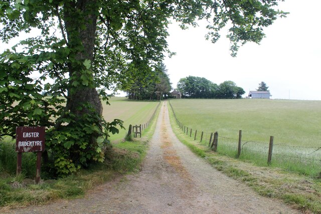
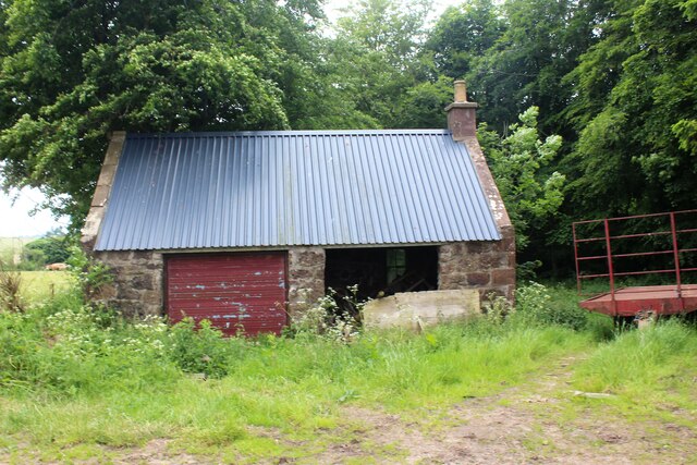
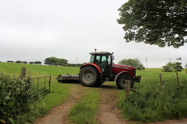
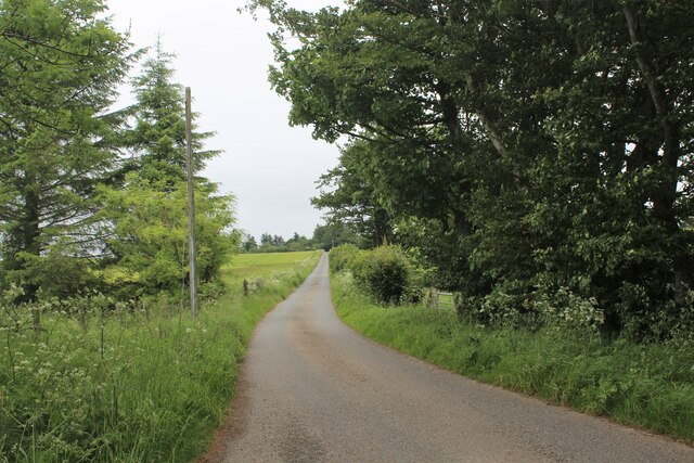
Hill of Cotburn Images
Images are sourced within 2km of 57.570569/-2.3700826 or Grid Reference NJ7753. Thanks to Geograph Open Source API. All images are credited.


Hill of Cotburn is located at Grid Ref: NJ7753 (Lat: 57.570569, Lng: -2.3700826)
Unitary Authority: Aberdeenshire
Police Authority: North East
What 3 Words
///roof.perfected.teams. Near Turriff, Aberdeenshire
Nearby Locations
Related Wikis
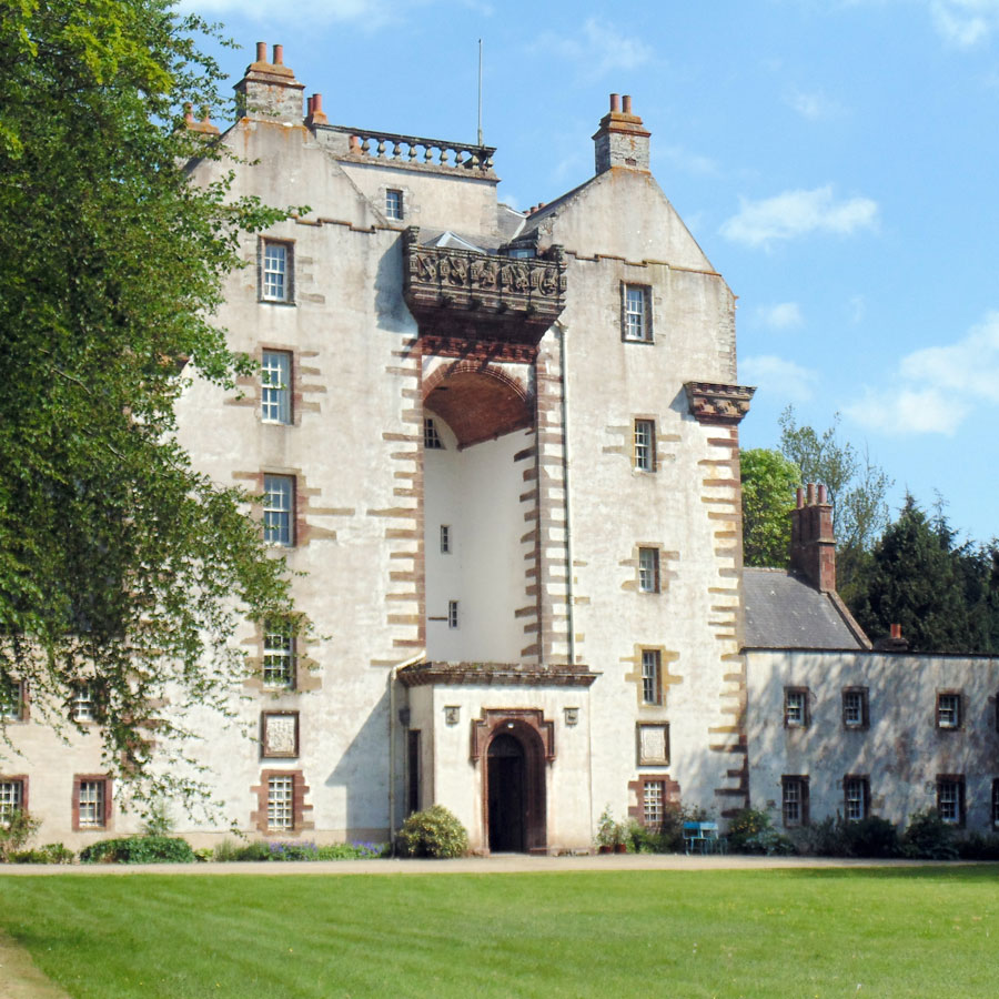
Craigston Castle
Craigston Castle is a 17th-century country house located about 4 miles (6.4 kilometres) north-east of Turriff, Aberdeenshire, Scotland, and is an historic...

Garmond, Aberdeenshire
Garmond (Scottish Gaelic: Garbh Mhon(adh)) is a linear village in Monquhitter Parish which is located in Aberdeenshire, Scotland. It was founded c.1760...
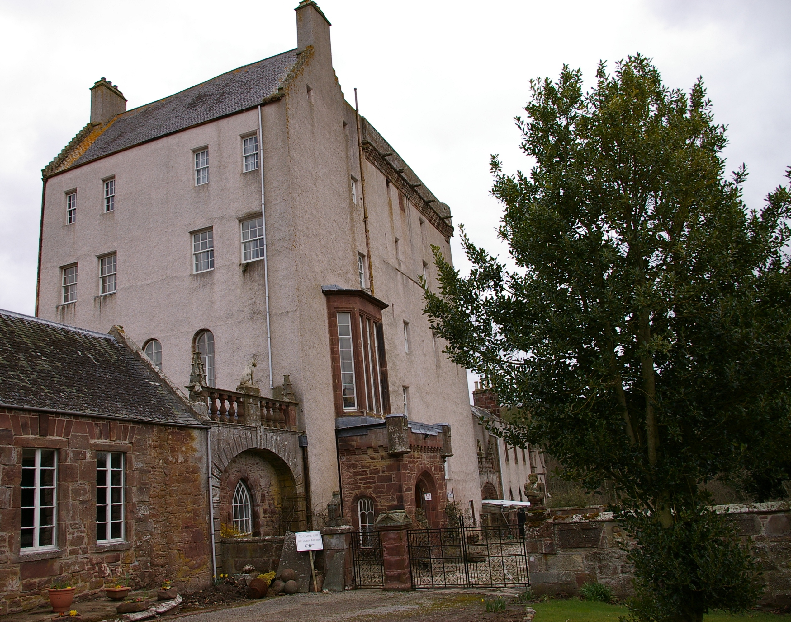
Delgatie Castle
Delgatie Castle is a castle near Turriff, in Aberdeenshire, Scotland. A castle has stood on the site of Delgatie Castle since the year 1030 AD, although...
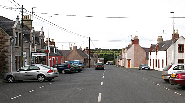
Cuminestown
Cuminestown is a village in the Formartine area of Aberdeenshire, Scotland, and sits at the centre of the parish of Monquhitter. It is approximately 6...

New Byth
New Byth is a small inland planned village in the Banff and Buchan committee area of Aberdeenshire, Scotland, that lies a few miles northeast of Cuminestown...
Crudie
Crudie is a settlement in Aberdeenshire, Scotland. It is situated on the A98. It has a primary school and a war memorial. == References ==

Idoch Castle
Idoch Castle was a 14th-century castle about 3 miles (4.8 km) east of Turriff, Aberdeenshire Scotland, near Idoch Water, a tributary of the River Deveron...
Gairnieston Castle
Gairnieston Castle or Garniston Castle was a medieval castle in Aberdeenshire, Scotland.No traces of it remain. == History == The castle was the seat of...
Nearby Amenities
Located within 500m of 57.570569,-2.3700826Have you been to Hill of Cotburn?
Leave your review of Hill of Cotburn below (or comments, questions and feedback).