Roundhill
Hill, Mountain in Lancashire Rossendale
England
Roundhill
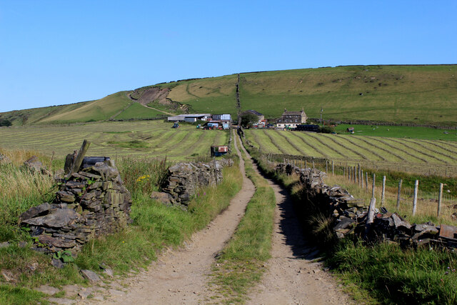
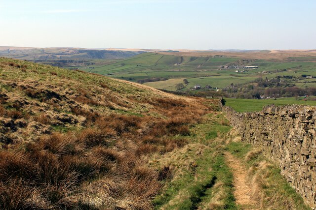
Roundhill is a prominent hill located in the picturesque county of Lancashire, in northwestern England. It is situated near the village of Chipping, within the Forest of Bowland Area of Outstanding Natural Beauty. Rising to an elevation of approximately 1,200 feet (366 meters), Roundhill is classified as a mountain rather than a hill due to its height.
The hill is known for its striking beauty and is a popular destination for outdoor enthusiasts, hikers, and nature lovers. Its summit offers breathtaking panoramic views of the surrounding countryside, with vast expanses of rolling hills, lush green valleys, and meandering rivers. On clear days, it is possible to see as far as the coastline of Morecambe Bay and the distant peaks of the Lake District.
Roundhill is also renowned for its rich biodiversity and serves as a haven for various plant and animal species. It is home to a diverse range of wildlife, including red deer, birds of prey, and rare plants, adding to its ecological significance.
The hill's location within the Forest of Bowland ensures that it remains relatively untouched by human activity, providing a serene and tranquil environment for visitors to enjoy. Numerous footpaths and trails traverse the area, offering opportunities for exploration and discovery.
Roundhill is not only a natural wonder but also a historical site. It is believed to have been a site of ancient settlements, with archaeological remains dating back thousands of years. This adds an extra layer of fascination and intrigue to an already captivating destination.
If you have any feedback on the listing, please let us know in the comments section below.
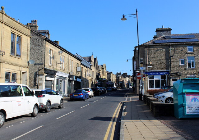
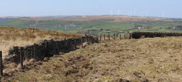
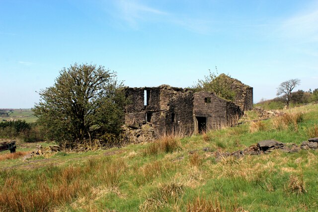
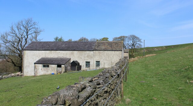
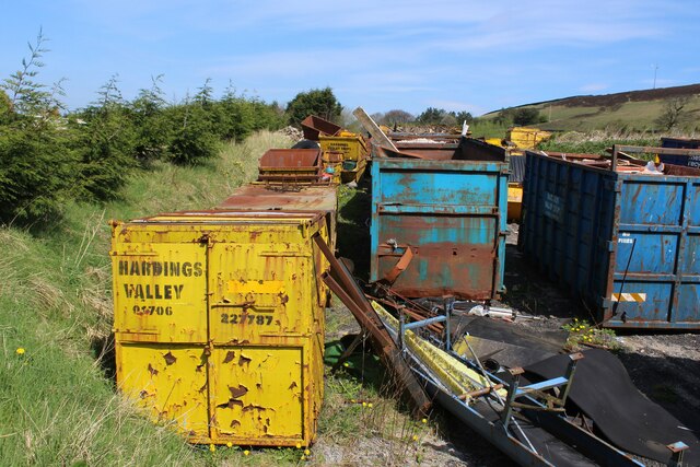
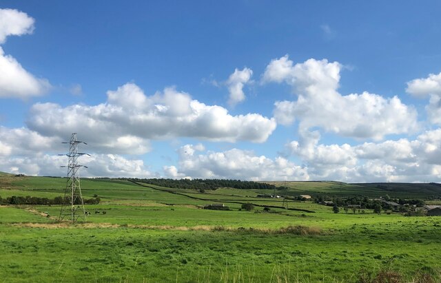
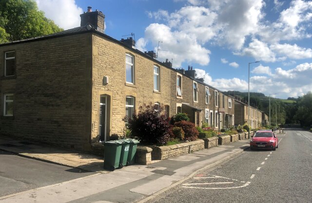
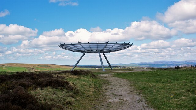
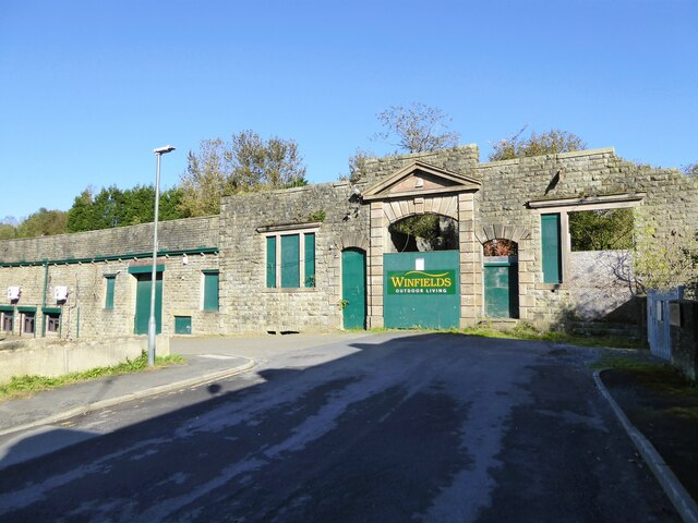
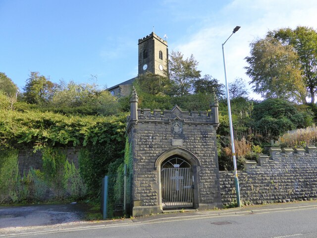
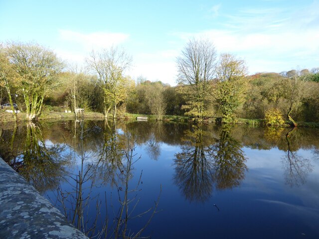
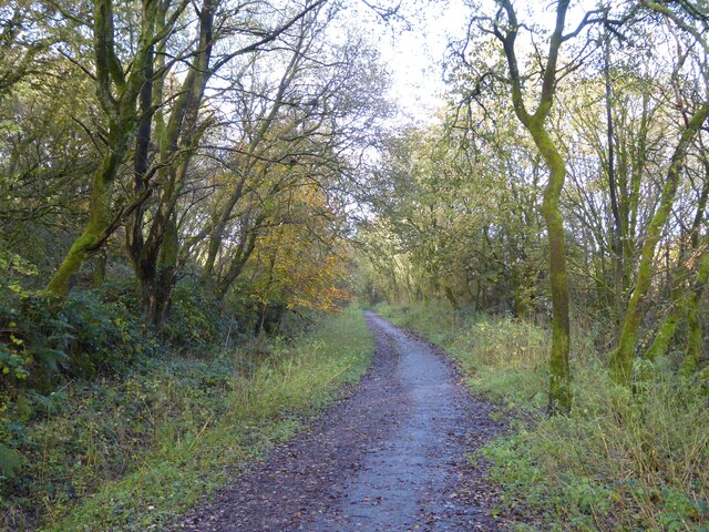
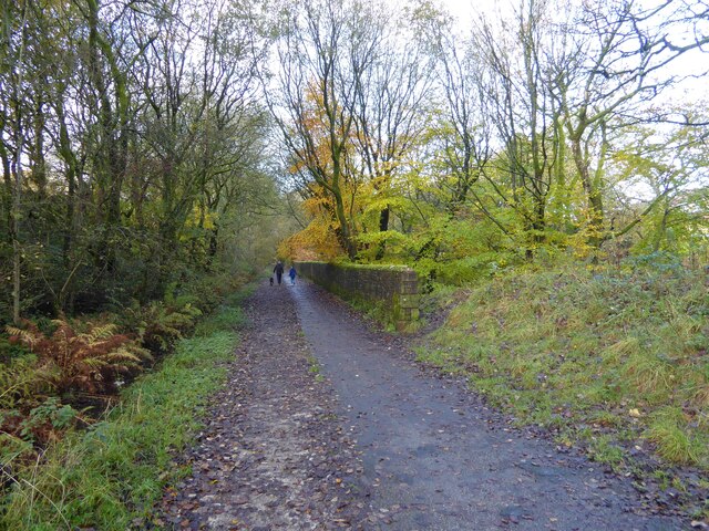
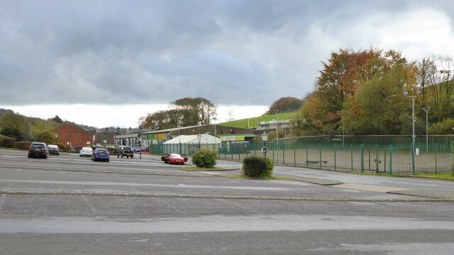
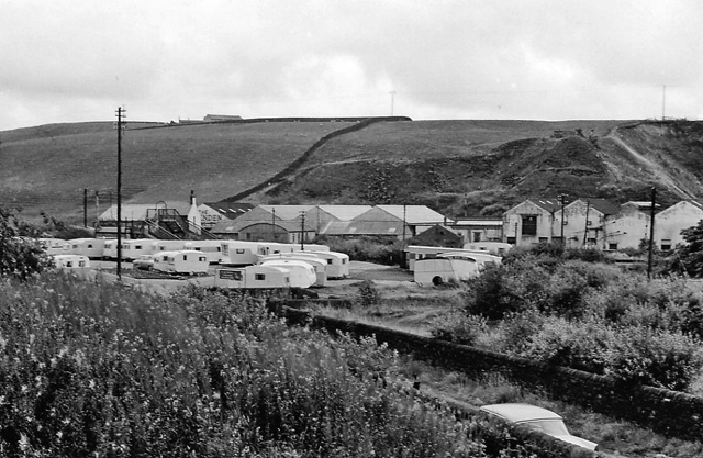
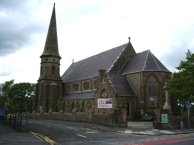
Roundhill Images
Images are sourced within 2km of 53.720676/-2.3357286 or Grid Reference SD7724. Thanks to Geograph Open Source API. All images are credited.


Roundhill is located at Grid Ref: SD7724 (Lat: 53.720676, Lng: -2.3357286)
Administrative County: Lancashire
District: Rossendale
Police Authority: Lancashire
What 3 Words
///notes.escapes.tumblers. Near Haslingden, Lancashire
Nearby Locations
Related Wikis
Baxenden railway station
Baxenden railway station served the villages of Baxenden in Hyndburn and Rising Bridge in Rossendale. It was situated just inside the old boundary of Haslingden...

Acre, Lancashire
Acre is a Victorian village situated along the A56 Blackburn Road between the village of Rising Bridge and the town of Haslingden in Rossendale Lancashire...

Haslingden railway station
Haslingden railway station served the town of Haslingden, Rossendale, Lancashire. The station was built by the East Lancashire Railway (ELR) on their Bury...
Baxenden
Baxenden is a village and ward in the Borough of Hyndburn in Lancashire, North-West England. The ward population taken at the 2011 census was 4,042. Baxenden...
Nearby Amenities
Located within 500m of 53.720676,-2.3357286Have you been to Roundhill?
Leave your review of Roundhill below (or comments, questions and feedback).