Byrness Hill
Hill, Mountain in Northumberland
England
Byrness Hill
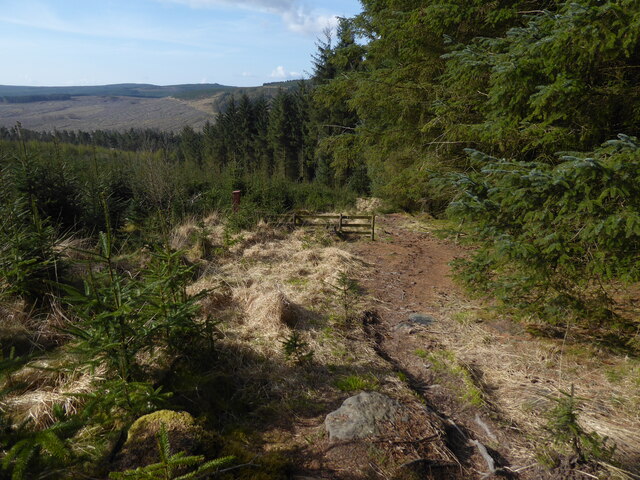
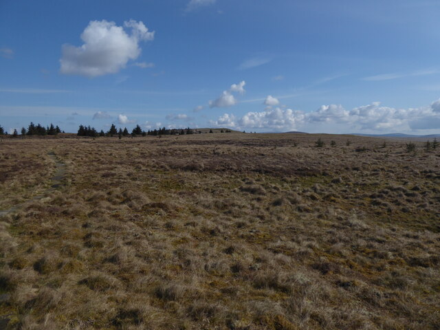
Byrness Hill, located in Northumberland, England, is a prominent hill that forms part of the Cheviot Hills range. It stands at an elevation of approximately 379 meters (1,243 feet) above sea level, making it a popular destination for hikers and nature enthusiasts.
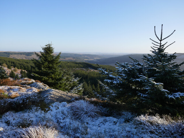
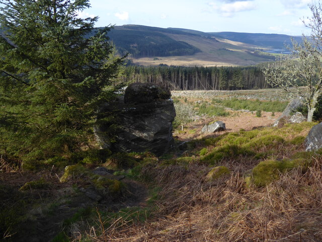
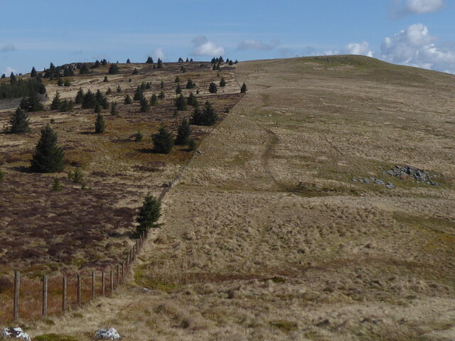
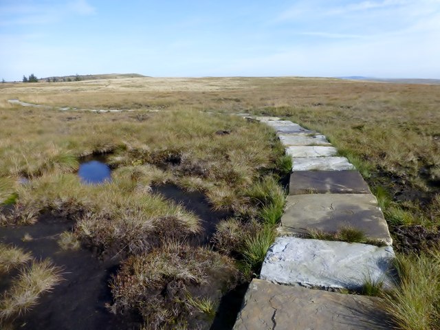
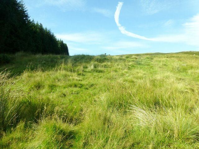
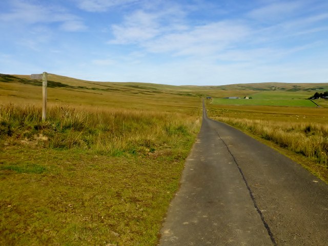
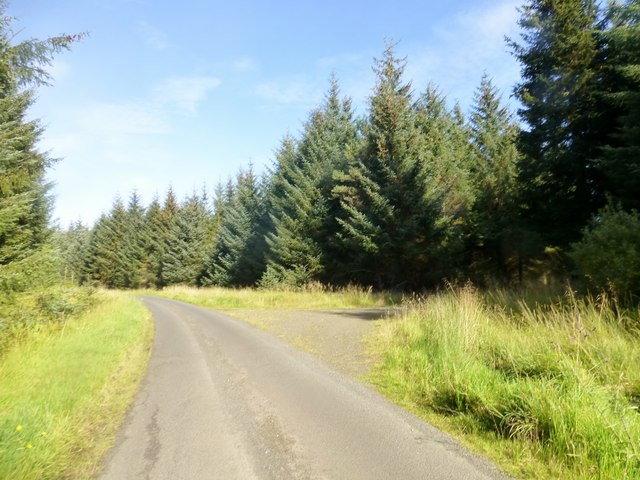
Situated in the Northumberland National Park, Byrness Hill offers breathtaking panoramic views of the surrounding countryside. Its location within this designated area of natural beauty ensures that the hill remains relatively untouched and preserves its natural splendor. The diverse landscape includes rolling hills, open moorland, and dense forests, providing a rich habitat for a variety of wildlife.
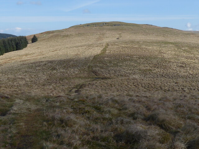
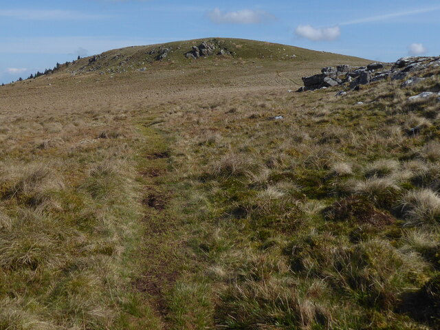
The hill is easily accessible, with a well-marked footpath leading to its summit. The hike to the top is moderate in difficulty, and visitors are rewarded with stunning vistas of the surrounding Northumberland countryside, including the neighboring hills and valleys.
Byrness Hill is known for its tranquil atmosphere and is a popular spot for picnics and nature walks. Its peaceful surroundings make it an ideal location for those seeking solace and a break from the hustle and bustle of city life.
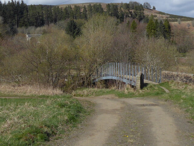
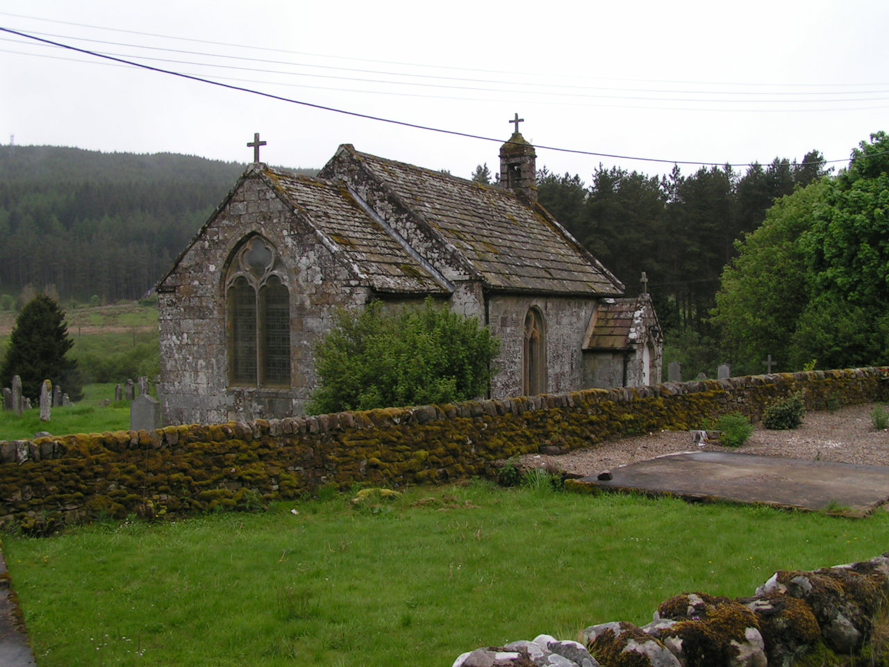
The hill is also part of a network of walking trails that span across the Cheviot Hills, offering opportunities for longer hikes and exploration of the wider region. Nearby attractions include the picturesque River Rede and the charming village of Byrness, providing additional points of interest for visitors.
Overall, Byrness Hill in Northumberland is a picturesque and accessible destination, offering stunning views and a peaceful retreat for nature lovers and outdoor enthusiasts.
If you have any feedback on the listing, please let us know in the comments section below.
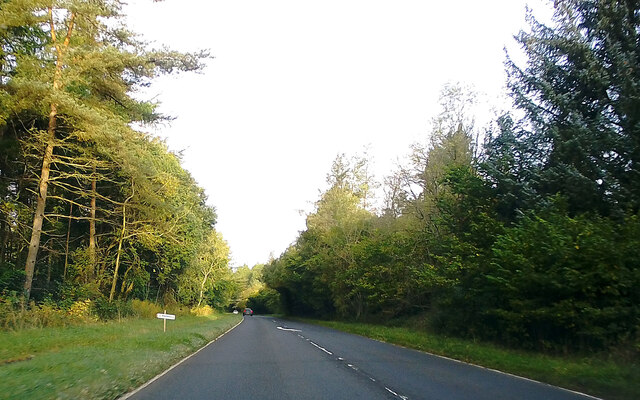
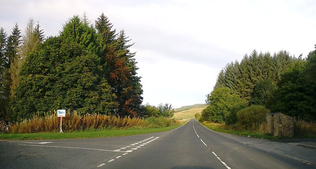
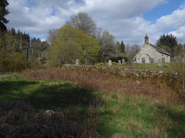
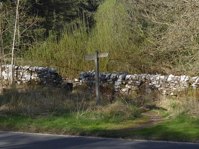
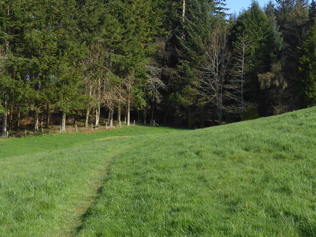
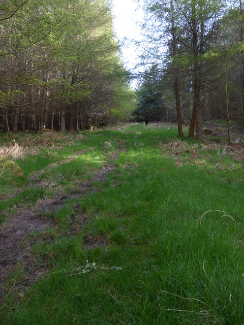
Byrness Hill Images
Images are sourced within 2km of 55.326321/-2.3587577 or Grid Reference NT7703. Thanks to Geograph Open Source API. All images are credited.
Byrness Hill is located at Grid Ref: NT7703 (Lat: 55.326321, Lng: -2.3587577)
Unitary Authority: Northumberland
Police Authority: Northumbria
What 3 Words
///dashes.tearfully.speedily. Near Rochester, Northumberland
Nearby Locations
Related Wikis
Byrness
Byrness is a village within Rochester civil parish in Northumberland, England. It is approximately 37 miles (60 km) north-west of Newcastle upon Tyne on...

Cottonshopeburnfoot
Cottonshopeburnfoot is a hamlet in Redesdale in Northumberland, England. It lies on the A68 road, 2 miles south east of the village of Byrness. The hamlet...

Ramshope
Ramshope is a hamlet and former civil parish, now in the parish of Rochester in Northumberland, England located in Northumberland National Park. It lies...

Featherwood Roman Camps
Featherwood Roman Camps are neighbouring archaeological sites in Northumberland, England, 1 mile (1.6 km) north of Featherwood and about 3 miles (5 km...
Nearby Amenities
Located within 500m of 55.326321,-2.3587577Have you been to Byrness Hill?
Leave your review of Byrness Hill below (or comments, questions and feedback).