Church Hill
Hill, Mountain in Wiltshire
England
Church Hill
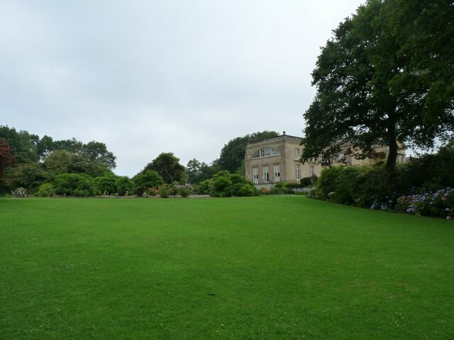
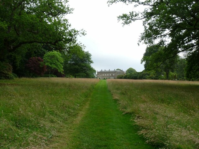
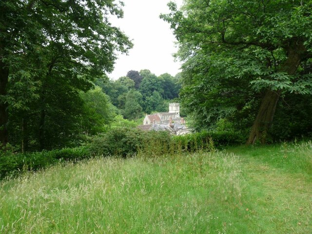
Church Hill, located in the county of Wiltshire, England, is a picturesque hill that rises to an elevation of 229 meters (751 feet) above sea level. Situated near the charming village of Erlestoke, Church Hill is part of the Salisbury Plain and offers stunning panoramic views of the surrounding countryside.
The hill takes its name from the nearby Church of St. Saviour, a medieval parish church that dates back to the 12th century. The church, with its distinctive spire, stands at the foot of Church Hill and is a prominent landmark in the area.
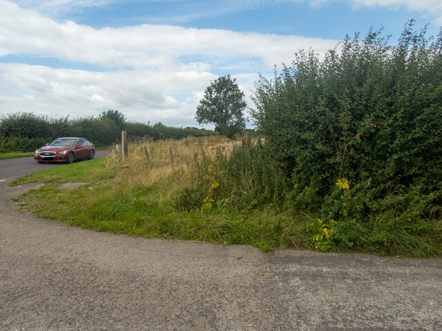
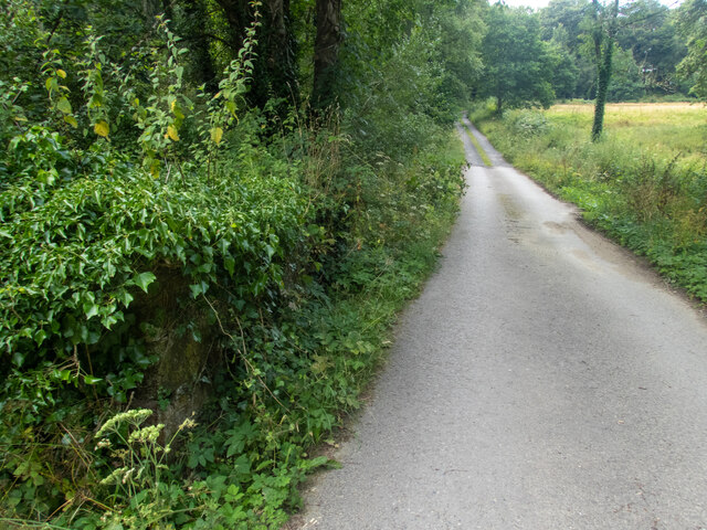
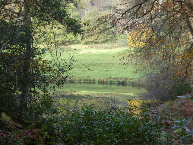
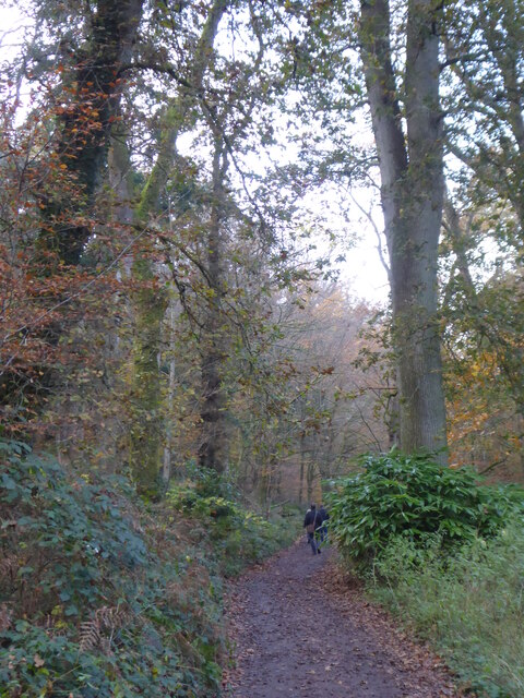
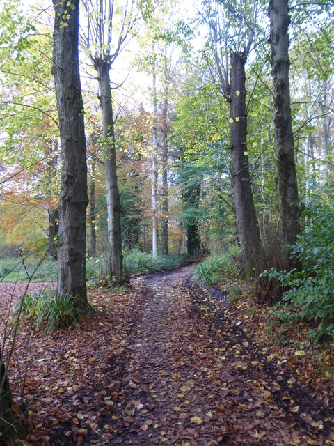
Covered in lush green grass and dotted with a few trees, Church Hill is a popular spot for walkers, hikers, and nature enthusiasts. The hill's gentle slopes make it accessible for people of all ages and fitness levels. As visitors ascend the hill, they are rewarded with breathtaking vistas of the Wiltshire countryside, including rolling hills, farmland, and picturesque villages.
The summit of Church Hill offers a tranquil setting, perfect for a moment of reflection or a picnic. On clear days, it is possible to see as far as the famous Westbury White Horse, a chalk figure that is carved into the nearby Westbury Hill.
Church Hill, with its natural beauty and historical significance, attracts both locals and tourists alike. Whether it's for a leisurely stroll or to admire the scenic views, this hill in Wiltshire provides a peaceful retreat away from the hustle and bustle of everyday life.
If you have any feedback on the listing, please let us know in the comments section below.
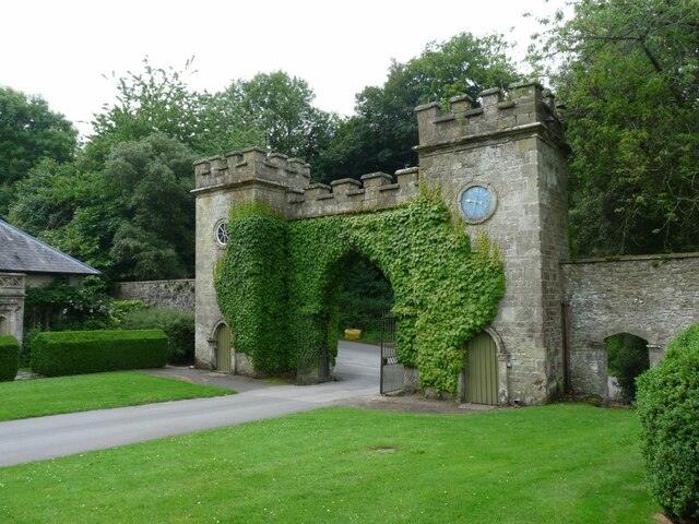
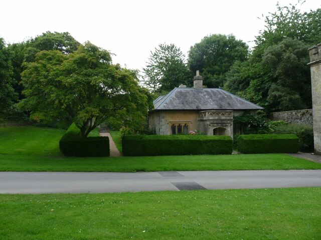
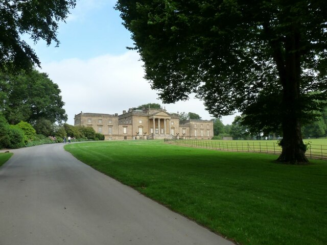
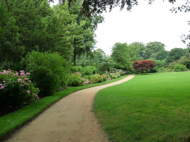
Church Hill Images
Images are sourced within 2km of 51.101701/-2.3245944 or Grid Reference ST7733. Thanks to Geograph Open Source API. All images are credited.

Church Hill is located at Grid Ref: ST7733 (Lat: 51.101701, Lng: -2.3245944)
Unitary Authority: Wiltshire
Police Authority: Wiltshire
What 3 Words
///envy.trombone.tend. Near Kilmington, Wiltshire
Nearby Locations
Related Wikis
Bristol High Cross
Bristol High Cross is a monumental market cross erected in 1373 in the centre of Bristol. It was built in Decorated Gothic style on the site of an earlier...

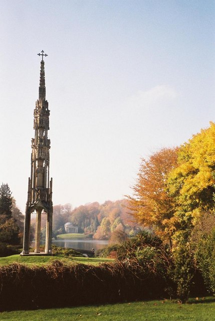
Stourton with Gasper
Stourton with Gasper is a civil parish in the southwest of the English county of Wiltshire. Its main settlement is the village of Stourton, along with...

Stourhead
Stourhead () is a 1,072-hectare (2,650-acre) estate at the source of the River Stour in the southwest of the English county of Wiltshire, extending into...

RAF Zeals
Royal Air Force Zeals, or more simply RAF Zeals, is a former Royal Air Force station in Wiltshire, sited to the north of the village of Zeals, next to...

Heath Hill Farm
Heath Hill Farm (grid reference ST757336) is a 20.73 hectare biological Site of Special Scientific Interest near Stourton in Wiltshire, notified in 1997...
Zeals
Zeals is a village and civil parish in southwest Wiltshire, England. The village is about 2.2 miles (3.5 km) west of Mere, next to the A303 road towards...

Kenwalch's Castle
Kenwalch's Castle is probably an Iron Age hill fort that may have been converted into a Roman fortress, near Penselwood, Somerset, England, 6.6 kilometres...

Kilmington, Wiltshire
Kilmington is a village and civil parish in the extreme west of Wiltshire, England, about 8 miles (13 km) southwest of Warminster. The parish includes...
Nearby Amenities
Located within 500m of 51.101701,-2.3245944Have you been to Church Hill?
Leave your review of Church Hill below (or comments, questions and feedback).