Hollin Burn Plantation
Wood, Forest in Northumberland
England
Hollin Burn Plantation
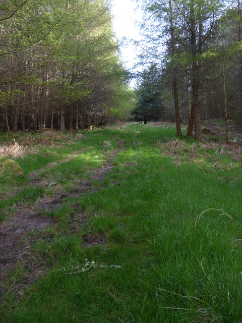
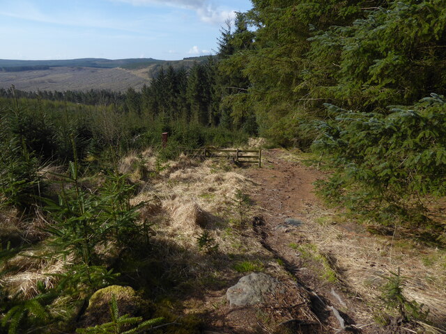
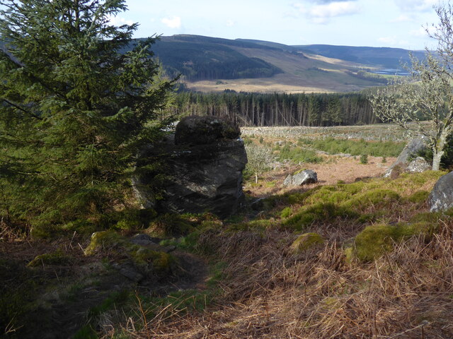
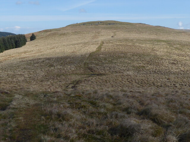
Hollin Burn Plantation is a picturesque woodland located in Northumberland, England. With its vast expanse of trees and natural beauty, it is a popular destination for nature enthusiasts and outdoor recreational activities.
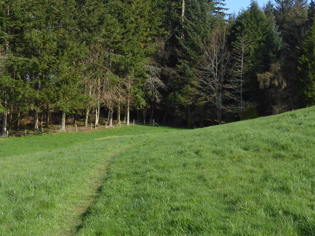
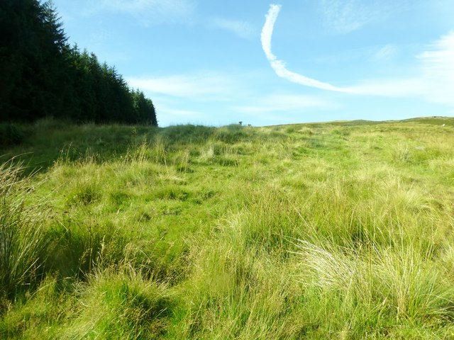
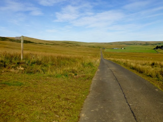
Covering an area of approximately 200 acres, this woodland is characterized by a diverse mix of tree species, including oak, birch, beech, and ash. The plantation is known for its well-maintained trails that allow visitors to explore and discover the enchanting surroundings. These trails wind through the woodland, offering breathtaking views of the surrounding countryside and opportunities to spot various wildlife species such as deer, rabbits, and a wide variety of birds.
Hollin Burn Plantation is also home to a range of plant life, including ferns, bluebells, and wild garlic. During springtime, the woodland comes alive with vibrant colors, making it an ideal spot for nature photography and peaceful walks.
In addition to its natural beauty, the plantation offers various recreational amenities to visitors. There are picnic areas and benches scattered throughout the woodland, providing tranquil spots for visitors to relax and enjoy the serene atmosphere. The plantation is also equipped with well-maintained parking facilities and visitor information boards, ensuring a pleasant and informative experience for all who visit.
Overall, Hollin Burn Plantation in Northumberland is a hidden gem, offering a peaceful escape from the hustle and bustle of everyday life while providing a rich and diverse natural environment for all to enjoy.
If you have any feedback on the listing, please let us know in the comments section below.
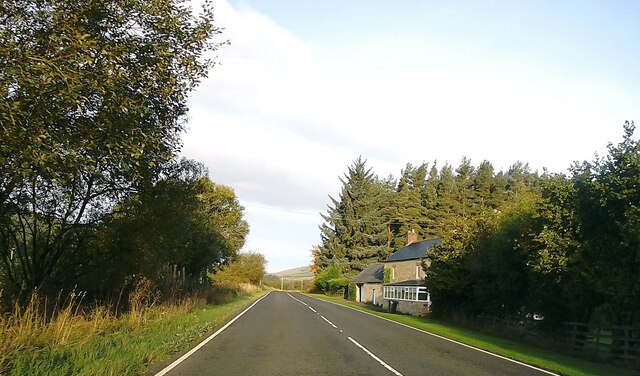
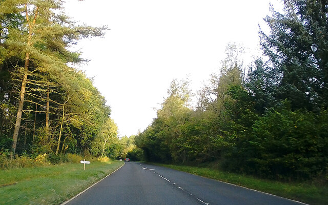
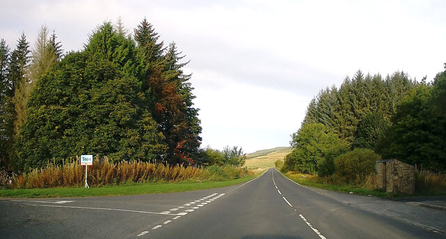
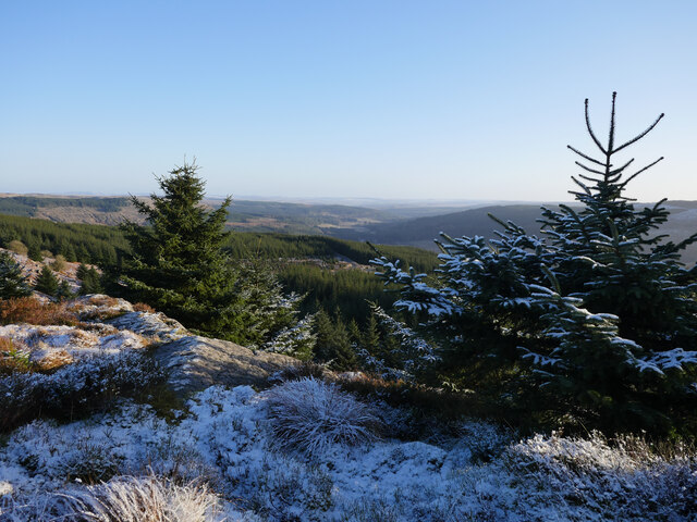
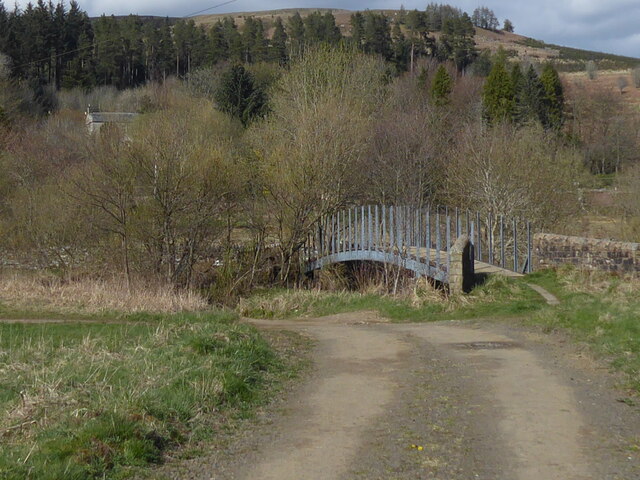
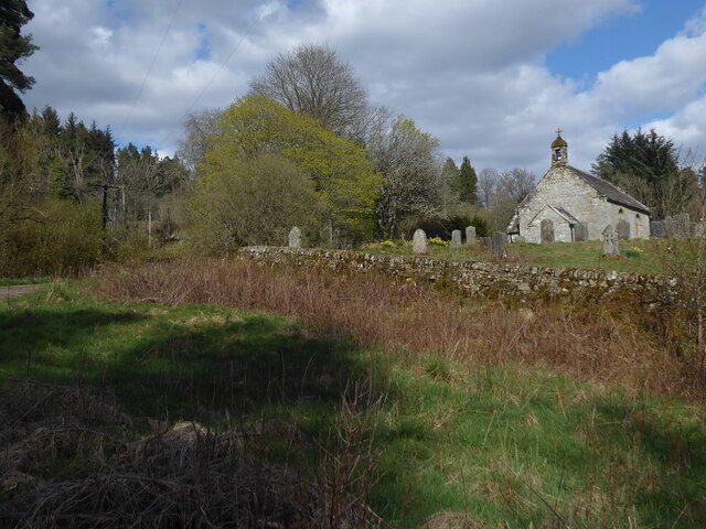
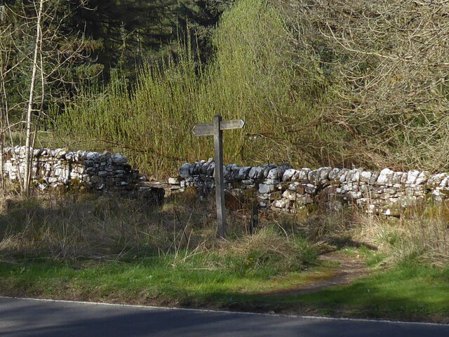
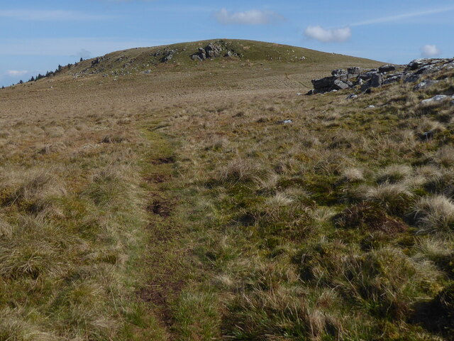
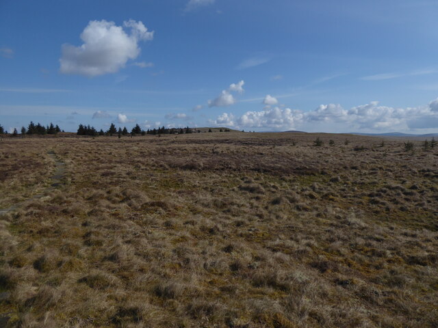
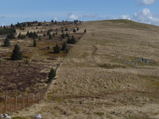
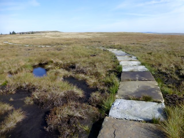
Hollin Burn Plantation Images
Images are sourced within 2km of 55.325798/-2.3501478 or Grid Reference NT7703. Thanks to Geograph Open Source API. All images are credited.
Hollin Burn Plantation is located at Grid Ref: NT7703 (Lat: 55.325798, Lng: -2.3501478)
Unitary Authority: Northumberland
Police Authority: Northumbria
What 3 Words
///chiefs.handicaps.spice. Near Rochester, Northumberland
Nearby Locations
Related Wikis
Byrness
Byrness is a village within Rochester civil parish in Northumberland, England. It is approximately 37 miles (60 km) north-west of Newcastle upon Tyne on...

Cottonshopeburnfoot
Cottonshopeburnfoot is a hamlet in Redesdale in Northumberland, England. It lies on the A68 road, 2 miles south east of the village of Byrness. The hamlet...

Featherwood Roman Camps
Featherwood Roman Camps are neighbouring archaeological sites in Northumberland, England, 1 mile (1.6 km) north of Featherwood and about 3 miles (5 km...

A68 road
The A68 is a major road in the United Kingdom, running from Darlington in England to the A720 in Edinburgh, the capital of Scotland. It crosses the Anglo...
Nearby Amenities
Located within 500m of 55.325798,-2.3501478Have you been to Hollin Burn Plantation?
Leave your review of Hollin Burn Plantation below (or comments, questions and feedback).