Paul Matthew Hill

Hill, Mountain in Kincardineshire

Scotland

Paul Matthew Hill

Road between Easter and Nether Tulloch Looking south-eastward.
Road between Easter and Nether Tulloch Credit: Peter Wood

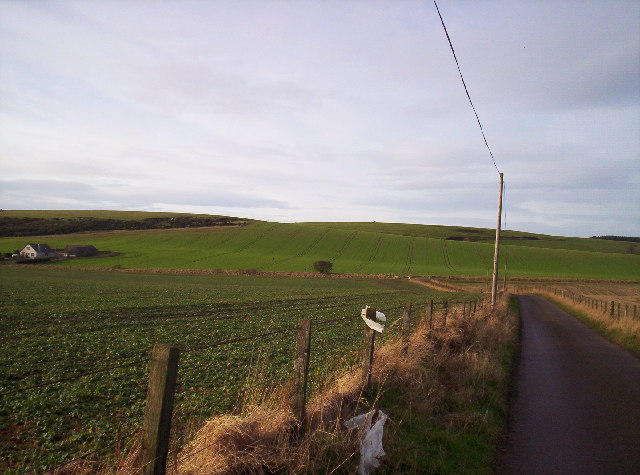
Paul Matthew Hill is a prominent hill located in Kincardineshire, Scotland. Standing at an elevation of approximately 330 meters, it is part of the scenic Mounth range, which stretches from the Cairngorms to the North Sea. The hill is situated near the village of Marykirk, offering breathtaking views of the surrounding countryside and the River North Esk.

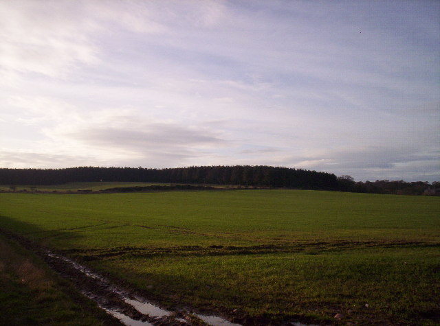
Paul Matthew Hill is a popular destination for hikers and nature enthusiasts due to its accessible trails and diverse flora and fauna. The hill features a well-maintained path that leads to its summit, making it suitable for individuals of varying fitness levels. Along the way, visitors can enjoy the sight of heather-covered slopes, ancient woodlands, and an array of wildlife, including red deer, mountain hares, and various bird species.

Reaching the top of Paul Matthew Hill rewards hikers with a panoramic vista that spans across Kincardineshire and beyond. On a clear day, one can admire the rolling landscape, the North Sea coastline, and even glimpse the peaks of the Cairngorms in the distance. The summit also offers a peaceful and serene atmosphere, providing an ideal spot for picnics or simply basking in the tranquility of nature.

Paul Matthew Hill has a rich historical significance as well. It is believed that the hill was named after a local historical figure, possibly a landowner or a notable resident of the area. This connection to the region's past adds an extra layer of intrigue to the hill, making it a place of interest for history enthusiasts as well.

Overall, Paul Matthew Hill in Kincardineshire is a captivating natural landmark that combines stunning scenery, recreational opportunities, and a touch of history, making it a must-visit destination for anyone exploring the region.

If you have any feedback on the listing, please let us know in the comments section below.

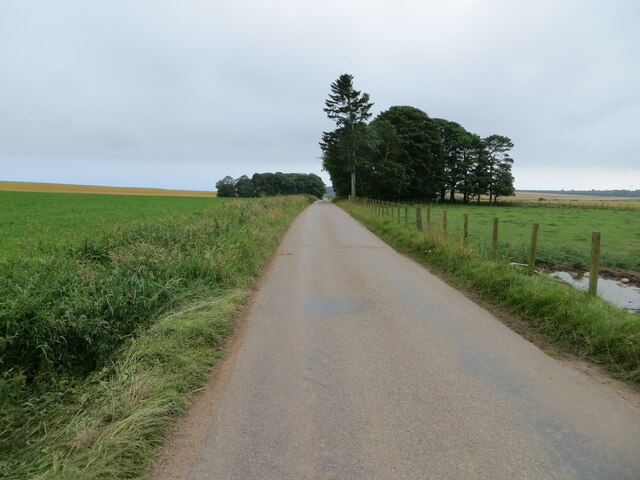
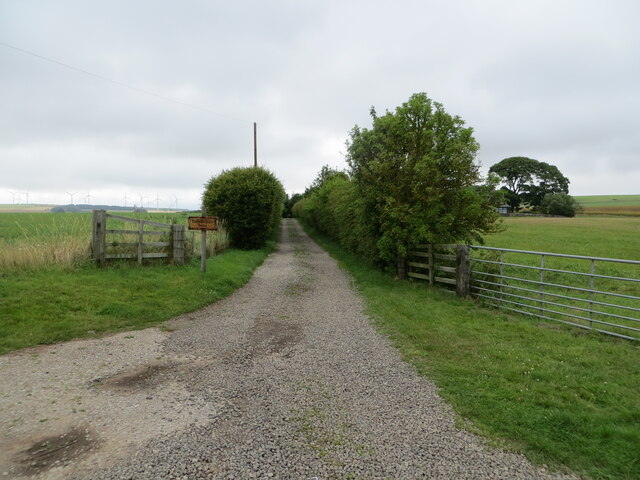
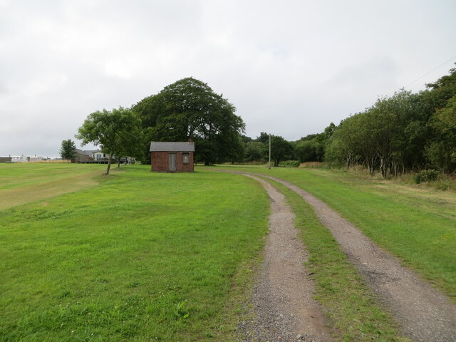
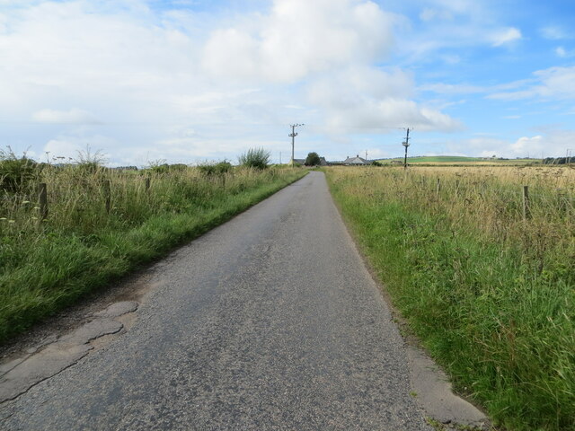
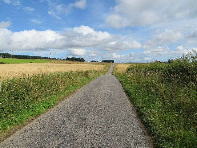
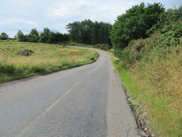
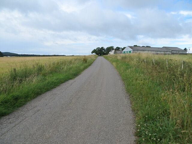
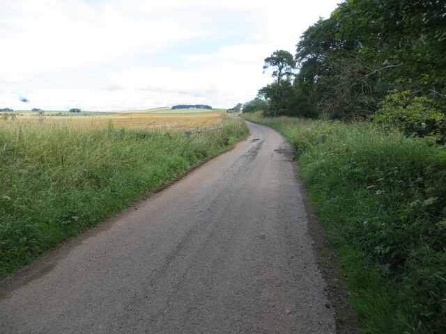
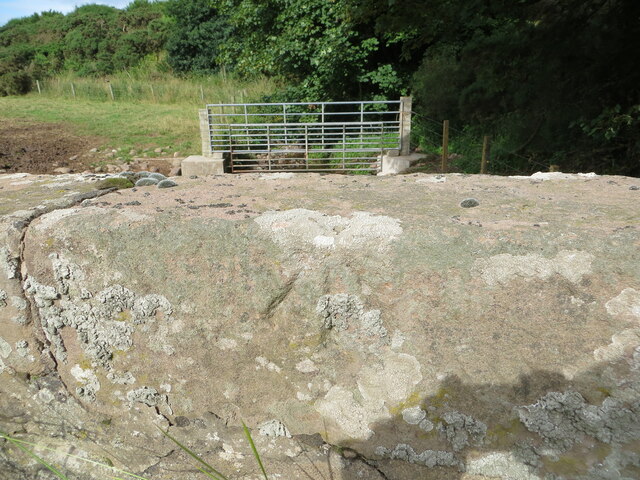
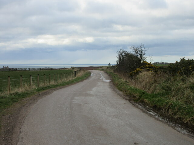
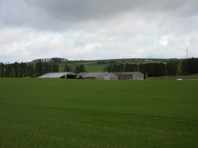
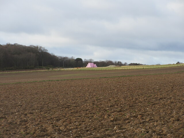
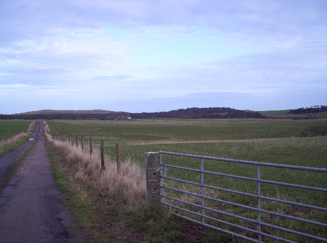
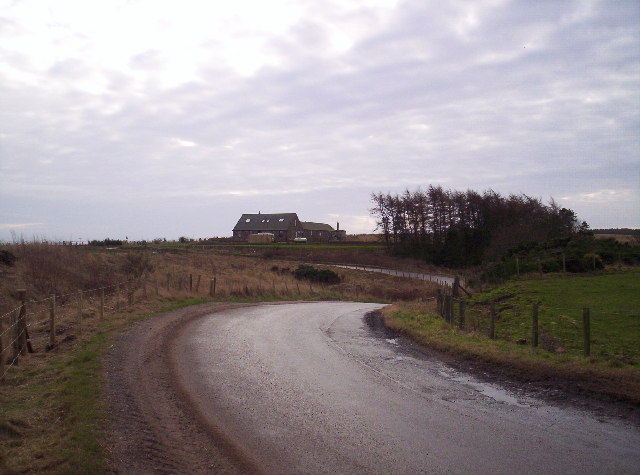
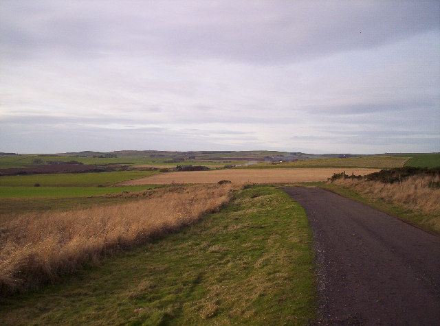
Paul Matthew Hill Images

Images are sourced within 2km of 56.816099/-2.3745988 or Grid Reference NO7769. Thanks to Geograph Open Source API. All images are credited.

Road between Easter and Nether Tulloch Looking south-eastward.
Road between Easter and Nether Tulloch
Looking south-eastward.
Hedge enclosed track giving access to Brawliemuir Farm Looking north-westward. Spelling as per farm sign.
Hedge enclosed track giving access to Brawliemuir Farm
Looking north-westward. Spelling as per farm sign.
Track giving access to Woodside of Benholm Looking north-westward.
Track giving access to Woodside of Benholm
Looking north-westward.
Minor road approaching Redford Looking south-westward.
Minor road approaching Redford
Looking south-westward.
Minor road between Redford and Tullo Looking north-eastward.
Minor road between Redford and Tullo
Looking north-eastward.
Ordnance Survey Cut Mark This mark can be found on the wall of a small brick building at Woodside.
The recorded details give a height of 128.7506 metres above sea level.
For more detail see : <span class="nowrap"><a title="https://www.bench-marks.org.uk/bm162436" rel="nofollow ugc noopener" href="https://www.bench-marks.org.uk/bm162436">Link</a><img style="margin-left:2px;" alt="External link" title="External link - shift click to open in new window" src="https://s1.geograph.org.uk/img/external.png" width="10" height="10"/></span>
Ordnance Survey Cut Mark
This mark can be found on the wall of a small brick building at Woodside. The recorded details give a height of 128.7506 metres above sea level. For more detail see : LinkExternal link
Road (B9120) near to Biddrie Looking south-westward.
Road (B9120) near to Biddrie
Looking south-westward.
Minor road approaching West Balhagarty Looking south-westward.
Minor road approaching West Balhagarty
Looking south-westward.
Minor road beside Balhagarty Plantation Looking north-eastward.
Minor road beside Balhagarty Plantation
Looking north-eastward.
Ordnance Survey Cut Mark This mark can be found on the parapet wall of a road (B9120) bridge near to West Belt.
The recorded details give a height of 130.1039 metres above sea level.
For more detail see : <span class="nowrap"><a title="https://www.bench-marks.org.uk/bm162665" rel="nofollow ugc noopener" href="https://www.bench-marks.org.uk/bm162665">Link</a><img style="margin-left:2px;" alt="External link" title="External link - shift click to open in new window" src="https://s1.geograph.org.uk/img/external.png" width="10" height="10"/></span>
Ordnance Survey Cut Mark
This mark can be found on the parapet wall of a road (B9120) bridge near to West Belt. The recorded details give a height of 130.1039 metres above sea level. For more detail see : LinkExternal link
C7K (Aberdeenshire) Road The C7K road heading towards the A92 at Johnshaven, with the North Sea in the distance.
C7K (Aberdeenshire) Road
The C7K road heading towards the A92 at Johnshaven, with the North Sea in the distance.
Farm sheds at Craighead Looking north from the roadside to three large sheds at Craighead.
Farm sheds at Craighead
Looking north from the roadside to three large sheds at Craighead.
Pink bales A distant view of pink-wrapped bales to the north of Muirton on the lower southern slope of Paul Matthew Hill.
Pink bales
A distant view of pink-wrapped bales to the north of Muirton on the lower southern slope of Paul Matthew Hill.
Fields, Farm Track and Jackston Farm
Cloch Hill and Fields You can just make out the large stone on the top of Cloch Hill and Parkhead farm on the left side of the photo.
Cloch Hill and Fields
You can just make out the large stone on the top of Cloch Hill and Parkhead farm on the left side of the photo.
Show me another place!

Paul Matthew Hill is located at Grid Ref: NO7769 (Lat: 56.816099, Lng: -2.3745988)

Unitary Authority: Aberdeenshire

Police Authority: North East

What 3 Words

///depth.steps.upholding. Near St Cyrus, Aberdeenshire

Nearby Locations

Paul Matthew Hill

Related Wikis

Benholm

Benholm is a small settlement in Aberdeenshire, Scotland, UK. It is now a conservation area and is home to Benholm Mill.The A92 passes the eastern edge...

Lauriston Castle, Aberdeenshire

Lauriston Castle stands on a clifftop site near the Aberdeenshire village of St Cyrus and just over a mile inland from the North Sea coast of Scotland...

Johnshaven railway station

Johnshaven railway station served the area of Johnshaven, Aberdeenshire, Scotland from 1865 to 1951 on the Montrose and Bervie Railway. == History == The...

Johnshaven

Johnshaven is a coastal village along the North Sea located in Aberdeenshire, Scotland. About 2 miles (3 km) southwest of Johnshaven lies Milton Ness,...

Nearby Amenities

Located within 500m of 56.816099,-2.3745988
Paul Matthew Hill
Ele: 170
Natural: peak
Lat/Long: 56.8159751/-2.3744917
Generator Method: wind_turbine
Generator Output Electricity: yes
Generator Source: wind
Generator Type: horizontal_axis
Power: generator
Lat/Long: 56.8158973/-2.3695627
Generator Method: wind_turbine
Generator Output Electricity: yes
Generator Source: wind
Generator Type: horizontal_axis
Power: generator
Lat/Long: 56.8142612/-2.3744309
The data included in this document is from www.openstreetmap.org. The data is made available under ODbL.

Have you been to Paul Matthew Hill?

Leave your review of Paul Matthew Hill below (or comments, questions and feedback).