Birch Hill

Hill, Mountain in Gloucestershire

England

Birch Hill

Old Milestone, France Lane In the parish of Hawkesbury, in the village of Hawkesbury Upton. NW side of road, embedded in the earth bank. Mileage is measured to Wotton under Edge. Rivet Benchmark on top, 176.7 m ASL.

Inscription (was): Wotton 5

Milestone Society ID: GL_WEHU05
Old Milestone, France Lane Credit: Mr Red

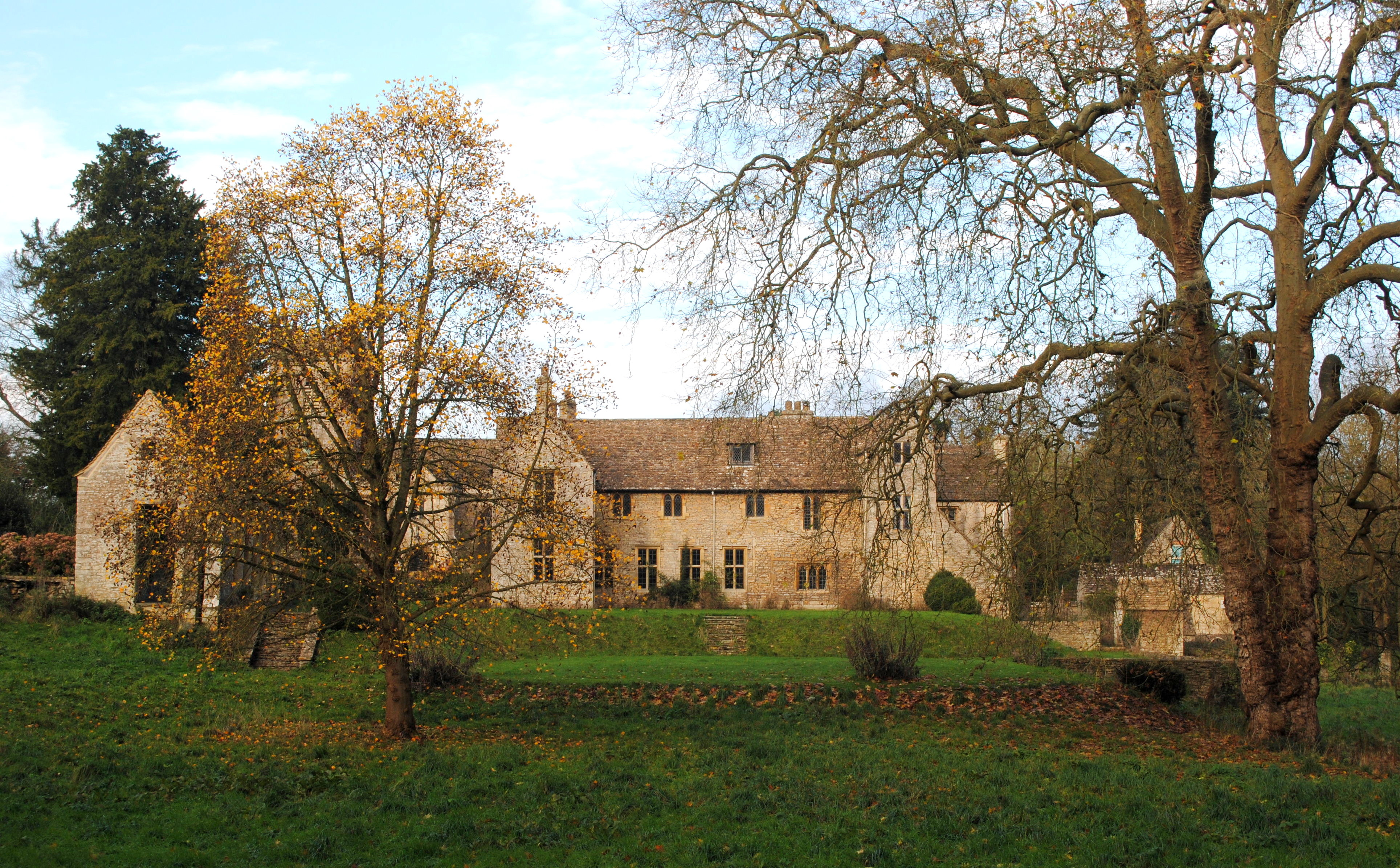
Birch Hill is a prominent hill located in the county of Gloucestershire, England. Standing at an elevation of approximately 250 meters (820 feet), it is a notable landmark in the region. The hill is part of the Cotswold Hills, a range known for its picturesque landscapes and rolling hills.

Covered in lush green vegetation, Birch Hill offers stunning panoramic views of the surrounding countryside. Its slopes are predominantly covered in a mix of deciduous and coniferous trees, including birch trees, from which its name originates. These trees provide a vibrant display of colors, particularly during the autumn season.

Birch Hill is a popular destination for outdoor enthusiasts, offering various recreational activities. Hiking and walking trails crisscross the hill, providing opportunities for visitors to explore the area and enjoy the natural beauty. The hill's gentle slopes make it suitable for people of all fitness levels.

Wildlife thrives on Birch Hill, with a diverse range of species calling it home. Birdwatchers can spot various avian species, including woodpeckers and owls, while small mammals such as rabbits and foxes can also be observed in their natural habitat.

The hill is easily accessible, with a well-maintained road leading to its summit. At the top, there is a viewpoint that offers breathtaking vistas of the surrounding countryside, making it an ideal spot for photography enthusiasts.

Overall, Birch Hill in Gloucestershire is a picturesque and serene location, providing visitors with a chance to immerse themselves in nature and enjoy the tranquility of the countryside.

If you have any feedback on the listing, please let us know in the comments section below.
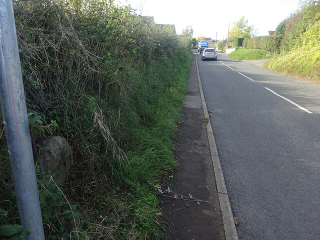
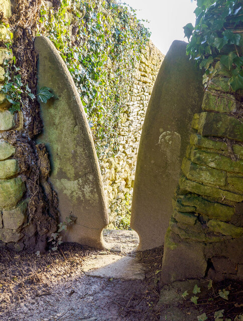
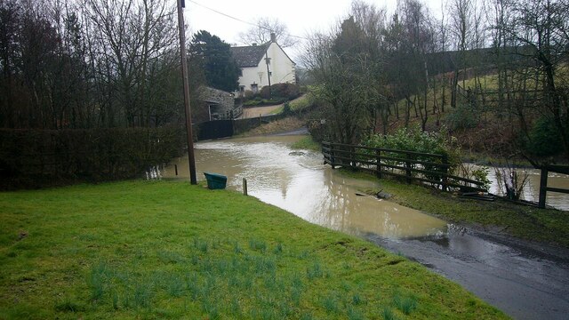
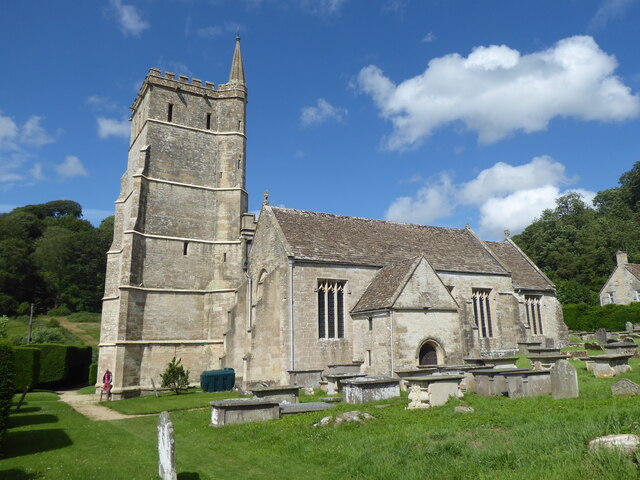
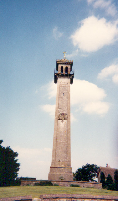
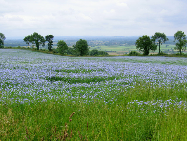
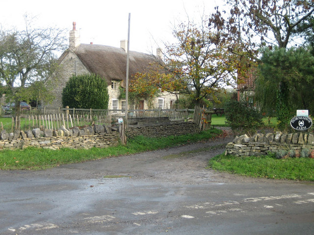
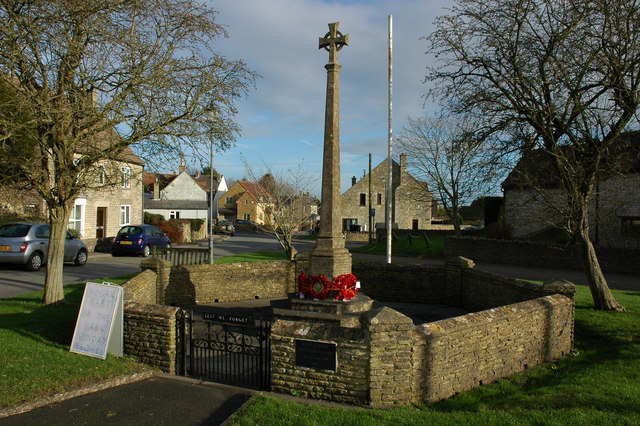
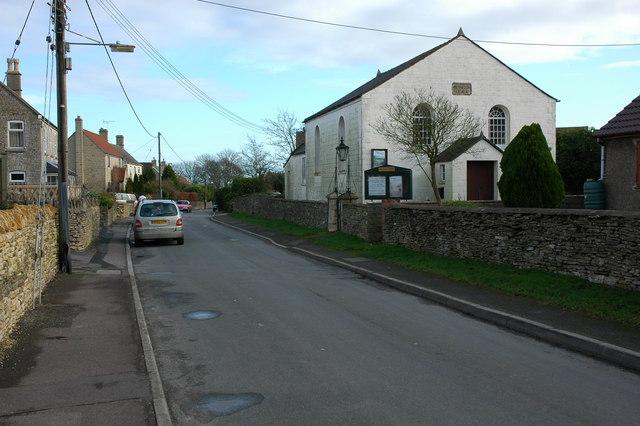
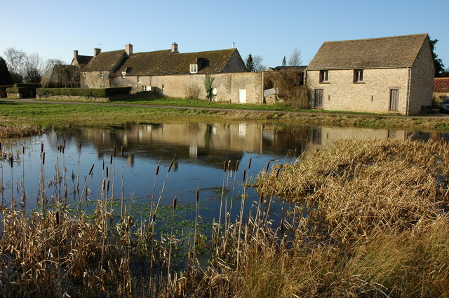
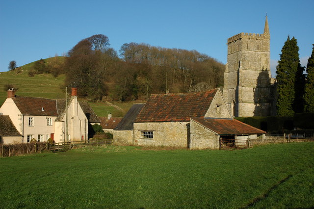
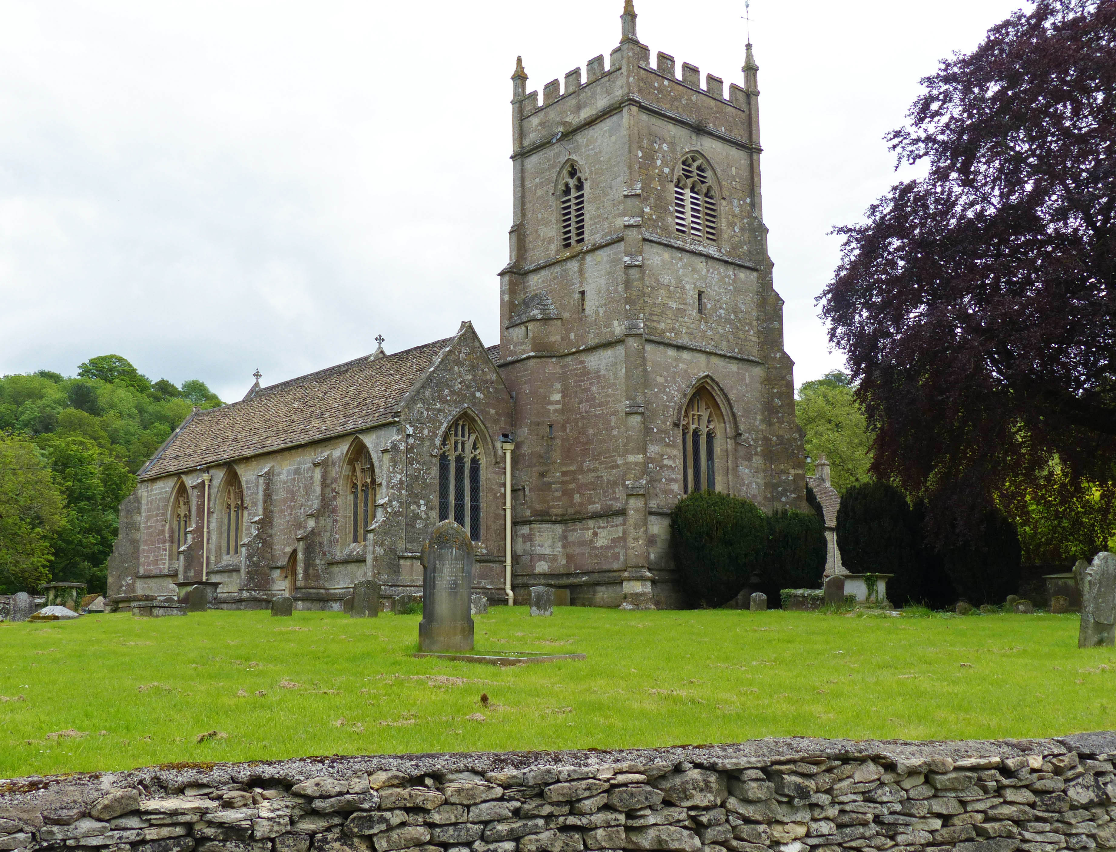
Birch Hill Images

Images are sourced within 2km of 51.571259/-2.3342211 or Grid Reference ST7685. Thanks to Geograph Open Source API. All images are credited.

Old Milestone, France Lane In the parish of Hawkesbury, in the village of Hawkesbury Upton. NW side of road, embedded in the earth bank. Mileage is measured to Wotton under Edge. Rivet Benchmark on top, 176.7 m ASL.

Inscription (was): Wotton 5

Milestone Society ID: GL_WEHU05
Old Milestone, France Lane
In the parish of Hawkesbury, in the village of Hawkesbury Upton. NW side of road, embedded in the earth bank. Mileage is measured to Wotton under Edge. Rivet Benchmark on top, 176.7 m ASL. Inscription (was): Wotton 5 Milestone Society ID: GL_WEHU05
Stone Stile, St Mary's Church Curious cut-outs to let boots pass. There is a wider view showing the lychgate, see <a href="https://www.geograph.org.uk/photo/6493091">ST7686 : Lych gate, St Mary's, Hawkesbury</a>.
Stone Stile, St Mary's Church
Curious cut-outs to let boots pass. There is a wider view showing the lychgate, see ST7686 : Lych gate, St Mary's, Hawkesbury.
Flooded road at Lower Chalkley Farm The result of a rapid thaw of snow.
Flooded road at Lower Chalkley Farm
The result of a rapid thaw of snow.
Hawkesbury, St Mary
Hawkesbury, St Mary
Horton Court and the parish church of St. James the Elder
Perils of farming The desperately dry and hot summer of 2022 has brought many problems for the farming community. Wheat fields turn into tinder and the fear of a fire breaking out has been realised at this farm near Chipping Sodbury.

On the 8th August a combine harvester was bringing in the crop when fire broke out on the machine. The farmer was able to move to safety but the vehicle and a large field went up; fire crews from several stations were dispatched and put the blaze out.

Avon Fire and Rescue Service released this statement:
'On arrival, crews found a combine harvester and 30 acres of cut straw alight. Firefighters used one high pressure hose reel, three 45mm jets, foam and a number of beaters to extinguish the blaze. The cause of the fire is thought to be accidental.'
Perils of farming
The desperately dry and hot summer of 2022 has brought many problems for the farming community. Wheat fields turn into tinder and the fear of a fire breaking out has been realised at this farm near Chipping Sodbury. On the 8th August a combine harvester was bringing in the crop when fire broke out on the machine. The farmer was able to move to safety but the vehicle and a large field went up; fire crews from several stations were dispatched and put the blaze out. Avon Fire and Rescue Service released this statement: 'On arrival, crews found a combine harvester and 30 acres of cut straw alight. Firefighters used one high pressure hose reel, three 45mm jets, foam and a number of beaters to extinguish the blaze. The cause of the fire is thought to be accidental.'
A46 Stroud Road Towards Stroud.
A46 Stroud Road
Towards Stroud.
A46 heading north Approaching a 50 limit for Petty France.
A46 heading north
Approaching a 50 limit for Petty France.
A46 Stroud Road, Petty France Heading north with the Bodkin pub on the right.
A46 Stroud Road, Petty France
Heading north with the Bodkin pub on the right.
Awaiting the Tour of Britain on Horton Hill The seventh day of the 2023 Tour of Britain <span class="nowrap"><a title="https://www.tourofbritain.co.uk/what-is-the-tour-of-britain-2023-route/" rel="nofollow ugc noopener" href="https://www.tourofbritain.co.uk/what-is-the-tour-of-britain-2023-route/">Link</a><img style="margin-left:2px;" alt="External link" title="External link - shift click to open in new window" src="https://s1.geograph.org.uk/img/external.png" width="10" height="10"/></span> was essentially a circuit of Gloucestershire, passing down Horton Hill.  Several dozen spectators gathered at this bend in the road to await the riders going past, preceded by numerous police and safety motorbikes.
Awaiting the Tour of Britain on Horton Hill
The seventh day of the 2023 Tour of Britain LinkExternal link was essentially a circuit of Gloucestershire, passing down Horton Hill. Several dozen spectators gathered at this bend in the road to await the riders going past, preceded by numerous police and safety motorbikes.
Norman Hall, Horton Court, Nr. Chipping Sodbury, South Gloucs. This is a view of the Norman Hall of Horton Court.  Horton means "place of muddy water".  The original wealth of the area was earned from the production of fish in ponds behind the house.  The house is now in the care of the National Trust.
Norman Hall, Horton Court, Nr. Chipping Sodbury, South Gloucs.
This is a view of the Norman Hall of Horton Court. Horton means "place of muddy water". The original wealth of the area was earned from the production of fish in ponds behind the house. The house is now in the care of the National Trust.
The Somerset Monument, near Hawkesbury Upton, South Gloucs. The Somerset Monument was built by Lewis Vulliamy in 1846 in memory of Robert Edward Henry Somerset.  He was a general at the Battle of Waterloo of 1815, and died in 1842.   He was a nephew of the Sixth Duke of Beaufort.   The tower is approximately 100 feet tall and can be seen from the Tyndale Monument at North Nibley to the north-west.  (Reference: "Hawkesbury Conservation Area," South Gloucestershire Council 2008 website:  <span class="nowrap"><a title="www.southglos.gov.uk/NR/" rel="nofollow ugc noopener" href="http://www.southglos.gov.uk/NR/">Link</a><img style="margin-left:2px;" alt="External link" title="External link - shift click to open in new window" src="https://s1.geograph.org.uk/img/external.png" width="10" height="10"/></span> )
The Somerset Monument, near Hawkesbury Upton, South Gloucs.
The Somerset Monument was built by Lewis Vulliamy in 1846 in memory of Robert Edward Henry Somerset. He was a general at the Battle of Waterloo of 1815, and died in 1842. He was a nephew of the Sixth Duke of Beaufort. The tower is approximately 100 feet tall and can be seen from the Tyndale Monument at North Nibley to the north-west. (Reference: "Hawkesbury Conservation Area," South Gloucestershire Council 2008 website: LinkExternal link )
Fragrant fields near Hawkesbury Looking across the Severn plain from the Cotswold edge
Fragrant fields near Hawkesbury
Looking across the Severn plain from the Cotswold edge
Horseshoe Farm Thatched farmhouse at Horton near Chipping Sodbury
Horseshoe Farm
Thatched farmhouse at Horton near Chipping Sodbury
War Memorial in Hawkesbury Upton
Bethesda Chapel, Hawkesbury Upton The chapel dated from 1844.
Bethesda Chapel, Hawkesbury Upton
The chapel dated from 1844.
Hawkesbury Upton Cottages reflected in a pond in the village of Hawkesbury Upton. The Cotswold Way passes in front of these cottages.
Hawkesbury Upton
Cottages reflected in a pond in the village of Hawkesbury Upton. The Cotswold Way passes in front of these cottages.
Hawkesbury Hawkesbury nestles below the Cotswold escarpment, the church is dedicated to St Mary the Virgin.
Hawkesbury
Hawkesbury nestles below the Cotswold escarpment, the church is dedicated to St Mary the Virgin.
Show me another place!

Birch Hill is located at Grid Ref: ST7685 (Lat: 51.571259, Lng: -2.3342211)

Unitary Authority: South Gloucestershire

Police Authority: Avon and Somerset

What 3 Words

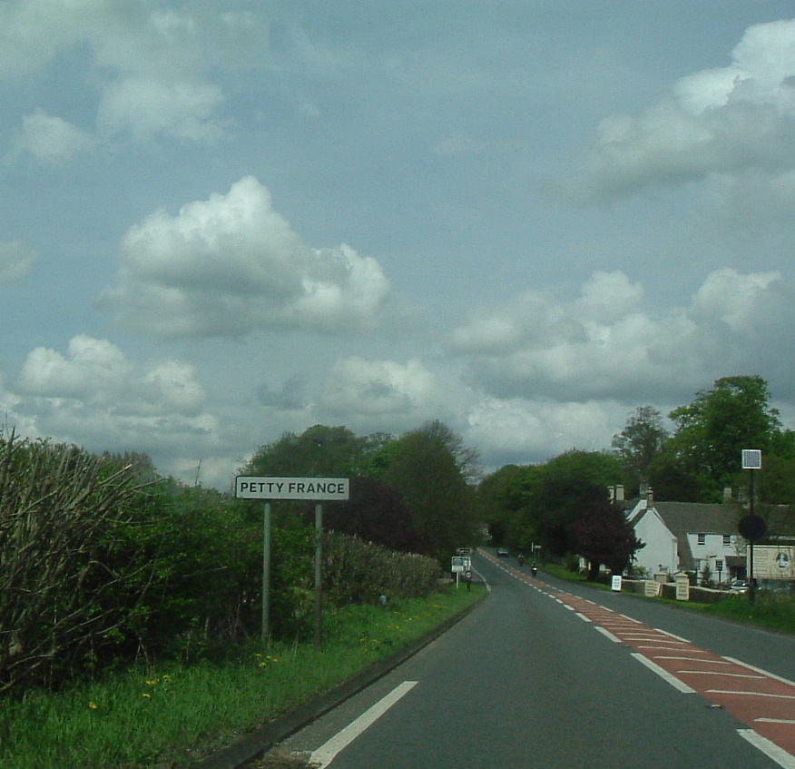
///incensed.pleaser.reject. Near Horton, Gloucestershire

Related Wikis

Nearby Amenities

Located within 500m of 51.571259,-2.3342211
The data included in this document is from www.openstreetmap.org. The data is made available under ODbL.

Have you been to Birch Hill?

Leave your review of Birch Hill below (or comments, questions and feedback).