Walk Wood
Wood, Forest in Gloucestershire
England
Walk Wood
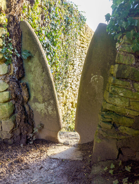
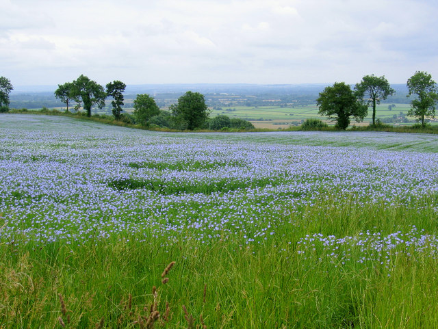
Walk Wood is a picturesque forest located in Gloucestershire, England. It covers an area of approximately 100 acres and is known for its stunning natural beauty and diverse wildlife.
The forest is predominantly composed of oak and beech trees, which create a dense canopy, providing shade and shelter for various species of flora and fauna. The forest floor is covered with a thick layer of leaf litter, creating a peaceful and serene atmosphere.
Walking trails are carefully maintained throughout the forest, allowing visitors to explore and appreciate its natural wonders. These trails offer breathtaking views of the surrounding countryside and provide an opportunity to observe the rich biodiversity of the area. Visitors can spot a wide range of wildlife, including deer, foxes, badgers, and numerous bird species.
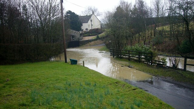
Walk Wood is also home to several small streams and ponds, adding to its charm and providing a habitat for aquatic life. These water features attract a variety of creatures, such as frogs, newts, and dragonflies.
The forest is a popular destination for nature enthusiasts, hikers, and families looking to enjoy a peaceful day outdoors. It offers ample opportunities for picnicking, photography, and nature watching. Additionally, the forest is well-equipped with picnic areas, benches, and information boards, making it accessible and enjoyable for people of all ages and abilities.
Overall, Walk Wood is a hidden gem in Gloucestershire, offering a tranquil retreat from the hustle and bustle of everyday life, and providing a sanctuary for both wildlife and humans to appreciate and enjoy.
If you have any feedback on the listing, please let us know in the comments section below.
Walk Wood Images
Images are sourced within 2km of 51.563631/-2.3352616 or Grid Reference ST7685. Thanks to Geograph Open Source API. All images are credited.


Walk Wood is located at Grid Ref: ST7685 (Lat: 51.563631, Lng: -2.3352616)
Unitary Authority: South Gloucestershire
Police Authority: Avon and Somerset
What 3 Words
///calibrate.relay.debit. Near Horton, Gloucestershire
Nearby Locations
Related Wikis
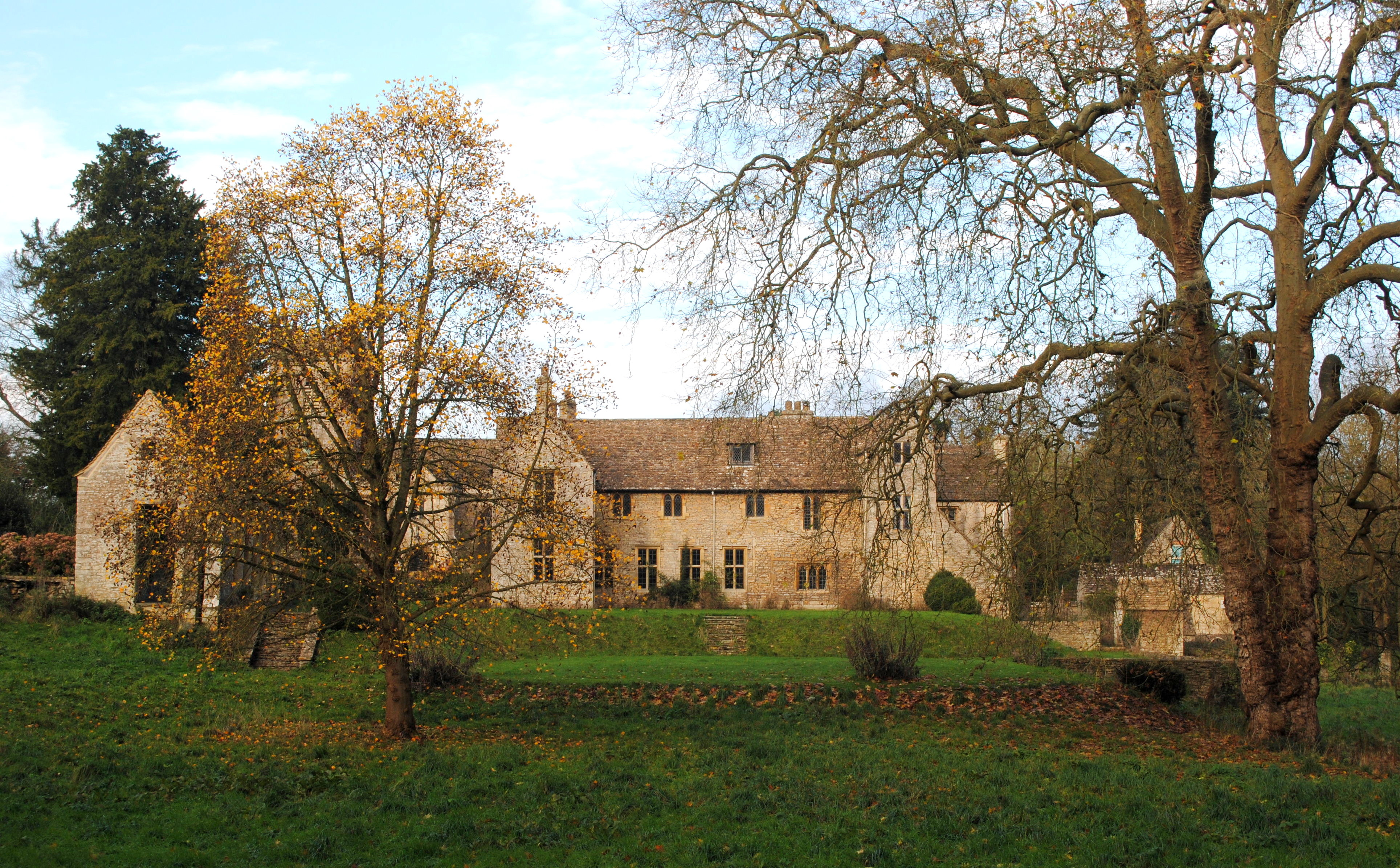
Horton Court
Horton Court is a stone-built 16th century manor house in Horton, near Chipping Sodbury, South Gloucestershire, England. It is a grade I listed building...

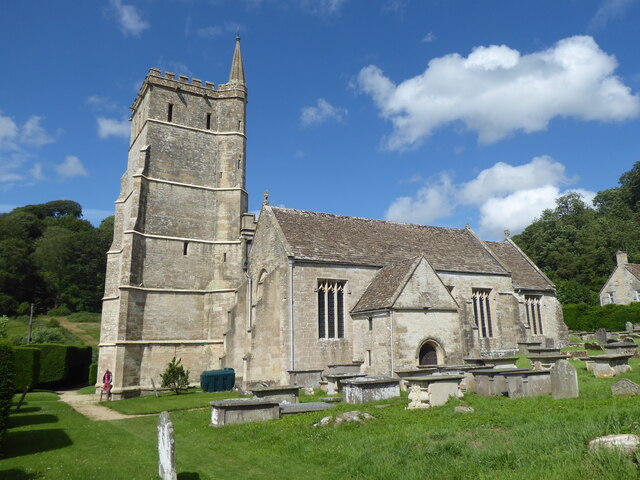
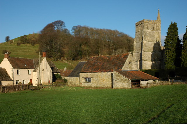
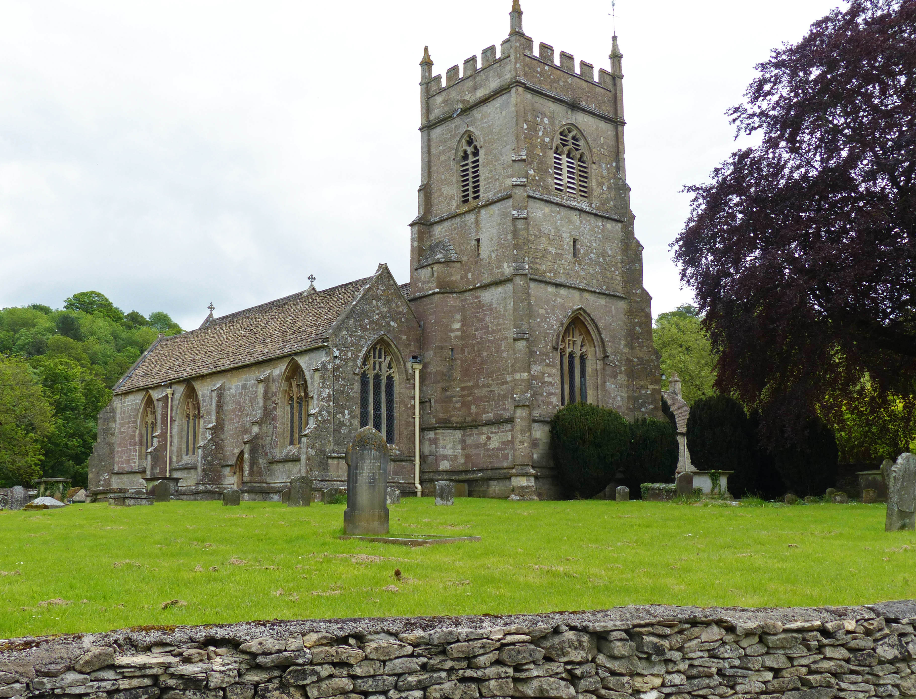
St James the Elder, Horton
St James the Elder, Horton is a parish church in Horton, Gloucestershire. It is a Grade 1 listed building. It was originally built in the twelfth century...
Horton, Gloucestershire
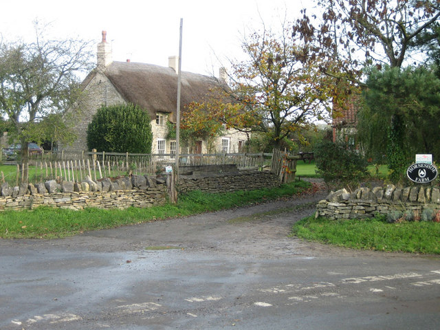
Horton is a village and civil parish on the Cotswold Edge, in the South Gloucestershire district, in the ceremonial county of Gloucestershire, England...
Bodkin Hazel Wood
Bodkin Hazel Wood (grid reference ST780850) is a 10.62-hectare (26.2-acre) biological Site of Special Scientific Interest (SSSI), just south of the village...
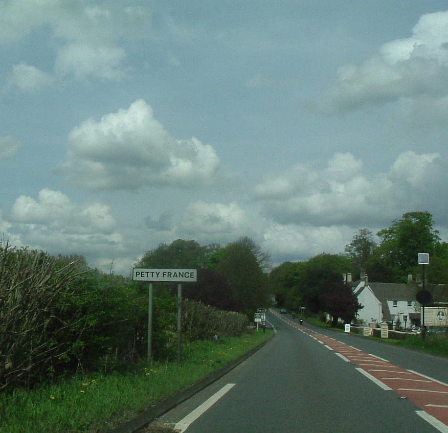
Petty France, Gloucestershire
Petty France is a hamlet in the rural north of South Gloucestershire, near the Gloucestershire border, in Hawkesbury parish. It is on the A46, which runs...

Church of St Mary, Hawkesbury
The Church of St Mary in Hawkesbury, South Gloucestershire, England was built in the 12th century. It is a Grade I listed building. == History == The church...

Hawkesbury Upton
Hawkesbury Upton is a village in South Gloucestershire, England, east of the much smaller Hawkesbury. It lies north of Horton, east of Dunkirk and south...

Little Sodbury
Little Sodbury is a village and former civil parish, now in the parish of Horton, in the South Gloucestershire district, in the ceremonial county of Gloucestershire...
Nearby Amenities
Located within 500m of 51.563631,-2.3352616Have you been to Walk Wood?
Leave your review of Walk Wood below (or comments, questions and feedback).