Barret Hill

Hill, Mountain in Yorkshire Ribble Valley

England

Barret Hill

Bolton by Bowland, bridge This is the southern parapet of the bridge over the River Ribble flowing through the village. To the left of the apex of the parapet there is an upside-down bench mark on the 2nd course of stone from the top. This shows the bridge has been rebuilt and the stones not placed exactly in their original position.
Bolton by Bowland, bridge Credit: Mel Towler

Barret Hill is a picturesque and prominent landmark located in the county of Yorkshire, England. Situated near the village of Barret, this hill stands at an elevation of approximately 400 meters above sea level, making it one of the tallest hills in the region. With its distinctive rounded shape and lush green vegetation, Barret Hill is a popular destination for hikers, nature enthusiasts, and those seeking breathtaking panoramic views.

The hill is composed of a mix of sedimentary rocks, including sandstone and limestone, which have been shaped by millions of years of geological processes. These rocks provide a rich habitat for a diverse range of flora and fauna, including heather, bracken, and various species of birds and insects.

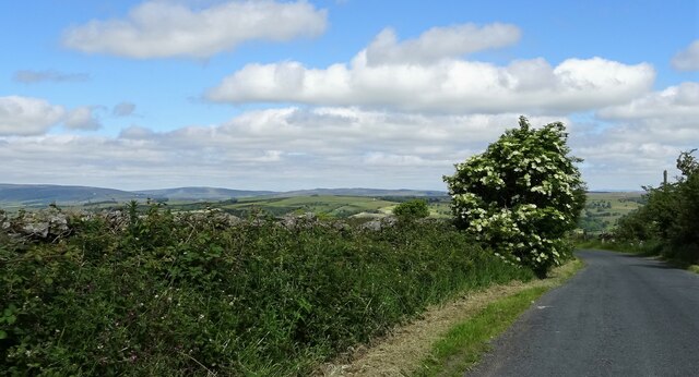
Barret Hill offers a network of scenic walking trails that cater to different levels of difficulty, allowing visitors to explore its natural beauty at their own pace. The hill's summit provides visitors with stunning vistas of the surrounding countryside, including rolling fields, meandering rivers, and distant hills.

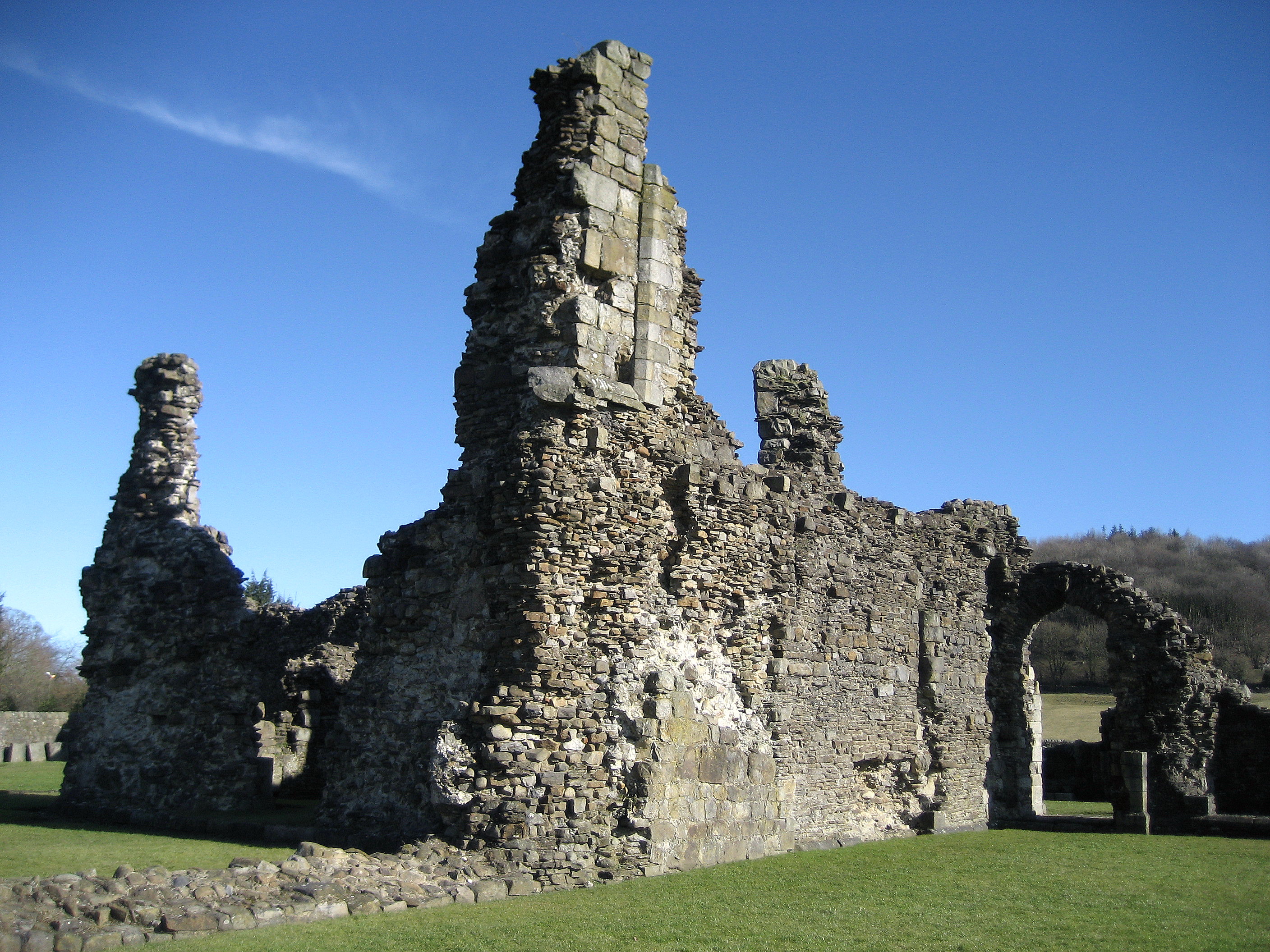
In addition to its natural beauty, Barret Hill also holds historical significance. It is believed that ancient settlements once thrived in the area, with archaeological discoveries providing evidence of human occupation dating back thousands of years. Visitors can explore these historical remnants, which include burial mounds and stone circles, adding an extra layer of intrigue to their visit.

Overall, Barret Hill in Yorkshire is a captivating destination that combines natural beauty, outdoor recreation, and a glimpse into the region's rich history. It serves as a haven for those seeking tranquility, adventure, and a deeper connection to the stunning landscape of Yorkshire.

If you have any feedback on the listing, please let us know in the comments section below.
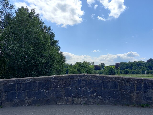
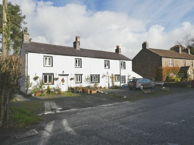
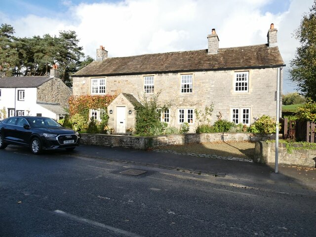
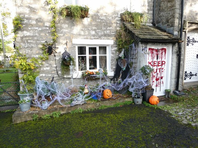
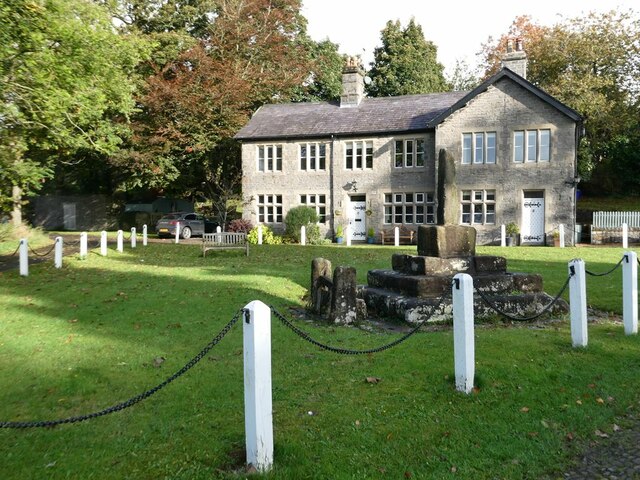
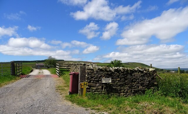
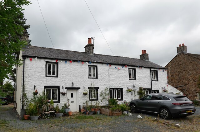
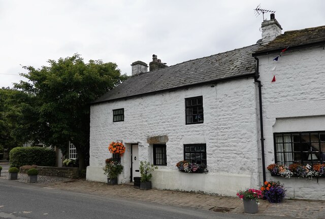
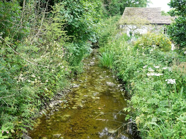
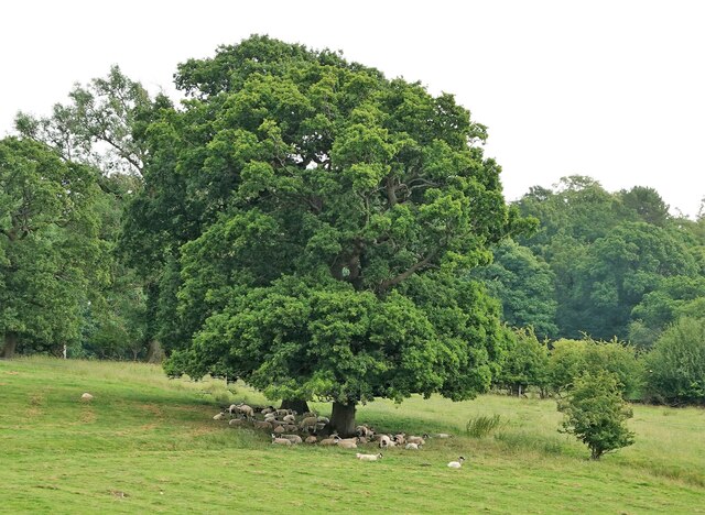
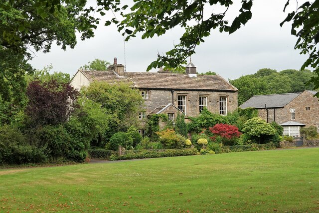
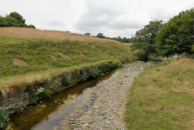
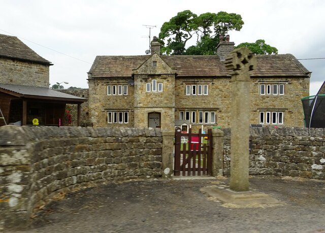
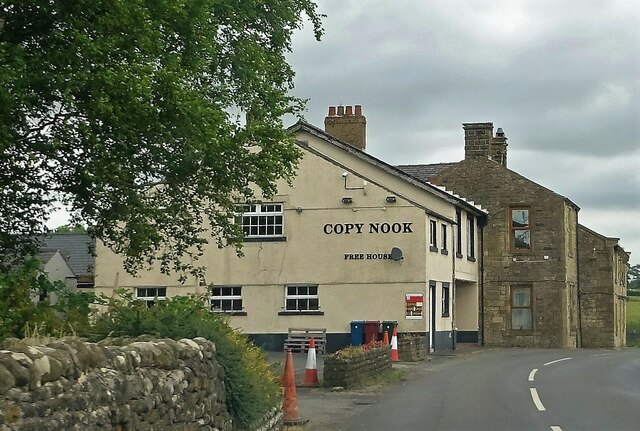
Barret Hill Images

Images are sourced within 2km of 53.940508/-2.3530002 or Grid Reference SD7649. Thanks to Geograph Open Source API. All images are credited.

Bolton by Bowland, bridge This is the southern parapet of the bridge over the River Ribble flowing through the village. To the left of the apex of the parapet there is an upside-down bench mark on the 2nd course of stone from the top. This shows the bridge has been rebuilt and the stones not placed exactly in their original position.
Bolton by Bowland, bridge
This is the southern parapet of the bridge over the River Ribble flowing through the village. To the left of the apex of the parapet there is an upside-down bench mark on the 2nd course of stone from the top. This shows the bridge has been rebuilt and the stones not placed exactly in their original position.
Bolton by Bowland, bridge A wider angle showing the southern parapet of the bridge over the River Ribble flowing through the village. To the left of the apex of the parapet there is an upside-down bench mark on the 2nd course of stone from the top. This shows the bridge has been rebuilt and the stones not placed exactly in their original position.
Bolton by Bowland, bridge
A wider angle showing the southern parapet of the bridge over the River Ribble flowing through the village. To the left of the apex of the parapet there is an upside-down bench mark on the 2nd course of stone from the top. This shows the bridge has been rebuilt and the stones not placed exactly in their original position.
Terraced cottages in Bolton-by-Bowland
Cottage in Bolton-by-Bowland
Hallowe'en in Bolton-by-Bowland The Hallowe'en decorations seem to become more extreme year on year.
Hallowe'en in Bolton-by-Bowland
The Hallowe'en decorations seem to become more extreme year on year.
Village Green, Bolton-by-Bowland Grade II listed cross.
Village Green, Bolton-by-Bowland
Grade II listed cross.
Smalden Lane In between Grindleton and Slaidburn.
Smalden Lane
In between Grindleton and Slaidburn.
Smalden House Farm The track off Smalden Lane leading to the farmhouse.
Smalden House Farm
The track off Smalden Lane leading to the farmhouse.
Lane junction Smalden Lane meets Landing Lane which leads to Harrop Fold.
Lane junction
Smalden Lane meets Landing Lane which leads to Harrop Fold.
Main Street, Bolton-by-Bowland Main Street is almost the only street in this pleasant village in the Forest of Bowland.
Main Street, Bolton-by-Bowland
Main Street is almost the only street in this pleasant village in the Forest of Bowland.
Cottages in Bolton-by-Bowland These cottages on Main Street are grade II listed.
Cottages in Bolton-by-Bowland
These cottages on Main Street are grade II listed.
White Cottage A grade II listed house on Main Street.
White Cottage
A grade II listed house on Main Street.
Kirk Beck The water level is low after a dry spell.
Kirk Beck
The water level is low after a dry spell.
Sheep in the shade On a warm day.
Sheep in the shade
On a warm day.
The Old Courthouse The building dates from 1859 (with some earlier remains) and is grade II listed.
The Old Courthouse
The building dates from 1859 (with some earlier remains) and is grade II listed.
Skirden Beck On the edge of Bolton-by Bowland. After a drier than usual few weeks the water level is quite low.
Skirden Beck
On the edge of Bolton-by Bowland. After a drier than usual few weeks the water level is quite low.
Bolton Peel farmhouse and cross The base of the cross is probably medieval whereas the cross is an early C20th replacement. A grade II listed structure. The farmhouse is C17 and is grade II* listed.
Bolton Peel farmhouse and cross
The base of the cross is probably medieval whereas the cross is an early C20th replacement. A grade II listed structure. The farmhouse is C17 and is grade II* listed.
The Copy Nook A pub near Holden.
The Copy Nook
A pub near Holden.
Show me another place!

Barret Hill is located at Grid Ref: SD7649 (Lat: 53.940508, Lng: -2.3530002)

Division: West Riding

Administrative County: Lancashire

District: Ribble Valley

Police Authority: Lancashire

What 3 Words

///meant.normal.shepherdess. Near Chatburn, Lancashire

Nearby Locations

Barret Hill

Related Wikis

Related Videos

Bolton by Bowland Ribble Valley | Walking Tour [4K]

Today's plod takes us on tour to the picturesque Ribble Valley village of Bolton-by-Bowland. This lovely Lancashire village is well ...

Bolton By Bowland Circular Walk v2

I am documenting my return to the Fells after a 13-year absence, in the hope that I can shed a few excess kgs and become fitter ...

Lancashire Footnotes Minisode Sixty - Bolton by Bowland

It used to be called 'Bolton-in-Bowland'. Nowadays it's called 'Bolton-by-Bowland'. Presumably at some point or other in the ...

Join us at Bow Laithe Caravan Site Lancashire #explore #love #motorhome #freedom

We booked this lovely adult only site via pitchup.com A beautiful site 10 mins drive to Clitheroe Large pitches with EHU, there is ...

Nearby Amenities

Located within 500m of 53.940508,-2.3530002
Holden Clough Nursery
Landuse: plant_nursery
Website: http://www.holdencloughnursery.com
Lat/Long: 53.9415085/-2.3466962
Cafe
The Garden Kitchen
Lat/Long: 53.9415622/-2.3467767
The data included in this document is from www.openstreetmap.org. The data is made available under ODbL.

Have you been to Barret Hill?

Leave your review of Barret Hill below (or comments, questions and feedback).