Summer Hill

Hill, Mountain in Worcestershire Malvern Hills

England

Summer Hill

Path on Perseverance Hill  Path in woodland on the eastern slopes of Perseverance Hill.
Path on Perseverance Hill Credit: Philip Halling

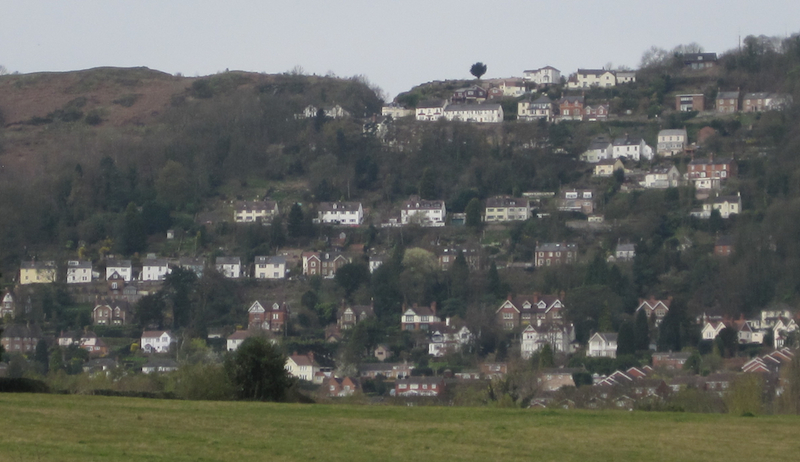
Summer Hill is a picturesque hill located in Worcestershire, England. Standing at an elevation of approximately 300 meters, it is a prominent landmark in the area and provides stunning panoramic views of the surrounding countryside. The hill is situated within the Malvern Hills Area of Outstanding Natural Beauty, adding to its allure and attracting nature enthusiasts and hikers alike.

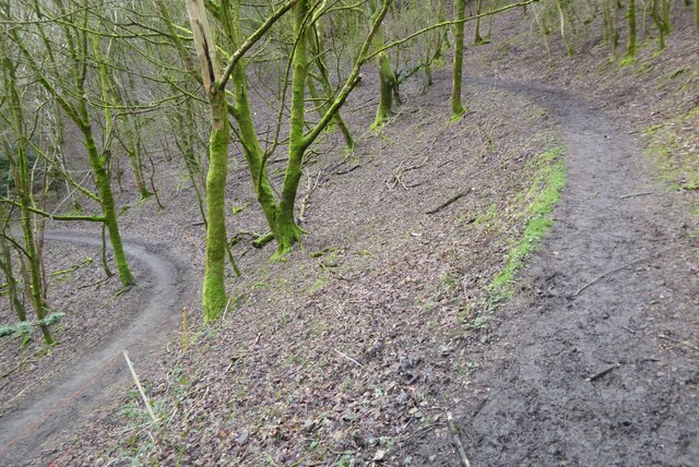
Covered in lush greenery, Summer Hill is home to a diverse range of flora and fauna. The hillside is adorned with vibrant wildflowers during the summer months, creating a vibrant and colorful landscape. The area is also abundant in wildlife, with various species of birds, mammals, and insects thriving in its natural habitat.

The hill is easily accessible by footpaths and trails, making it a popular destination for outdoor activities such as hiking, walking, and picnicking. The well-maintained paths offer different levels of difficulty, catering to both seasoned hikers and casual walkers. As visitors ascend the hill, they are rewarded with breathtaking vistas of the Worcestershire countryside, with rolling hills, farmland, and quaint villages stretching as far as the eye can see.

Aside from its natural beauty, Summer Hill holds historical significance as well. It is believed to have been an important site during ancient times, with evidence of Iron Age settlements found in the vicinity. This adds an extra layer of intrigue and fascination for history enthusiasts exploring the area.

Overall, Summer Hill in Worcestershire is a captivating destination for nature lovers, hikers, and history enthusiasts alike. Its stunning views, diverse wildlife, and rich historical heritage make it a must-visit location for anyone seeking an immersive and rewarding outdoor experience.

If you have any feedback on the listing, please let us know in the comments section below.
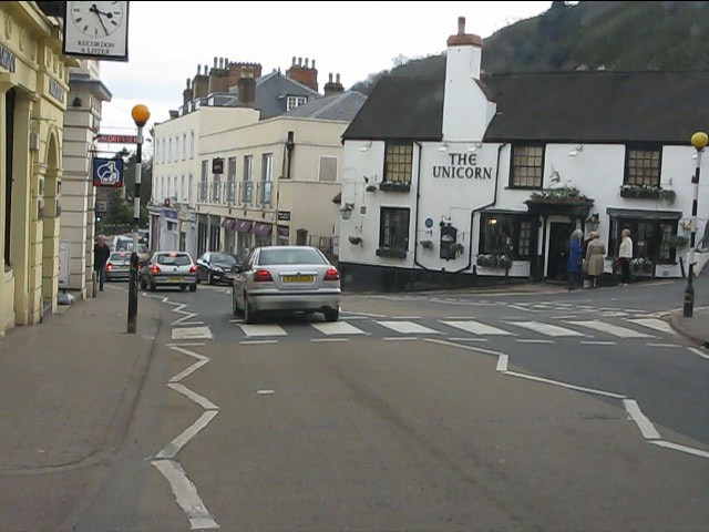
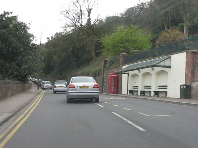
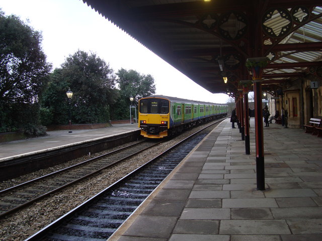
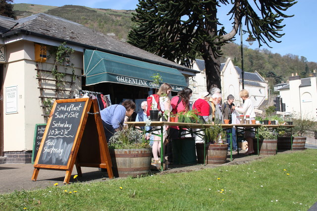
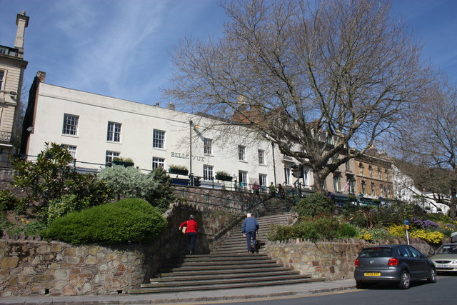
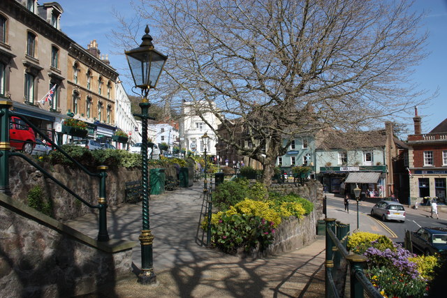
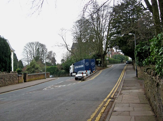
Summer Hill Images

Images are sourced within 2km of 52.100384/-2.3383252 or Grid Reference SO7644. Thanks to Geograph Open Source API. All images are credited.

Path on Perseverance Hill  Path in woodland on the eastern slopes of Perseverance Hill.
Path on Perseverance Hill
Path in woodland on the eastern slopes of Perseverance Hill.
Great Malvern Station The exterior and passenger entrance of Great Malvern Station.
Great Malvern Station
The exterior and passenger entrance of Great Malvern Station.
Great Malvern - Worcester Road near Bank Street
Great Malvern - Worcester Road at Bray's Bray's department store occupies the grey-painted building on the right.  A rare survivor of the "Are You Being Served?" variety.
Great Malvern - Worcester Road at Bray's
Bray's department store occupies the grey-painted building on the right. A rare survivor of the "Are You Being Served?" variety.
Great Malvern - Worcester Road at the Foley Arms Hotel The Foley Arms had a chequered life in the period 2008-2010. It ceased trading as a hotel, was occupied by its own staff in a "sit in" and finally acquired by the Wetherspoons chain, whose name it now sports.  The Foley Arms now (2011) provides both accommodation and the usual Wetherspoons bar experience.
Great Malvern - Worcester Road at the Foley Arms Hotel
The Foley Arms had a chequered life in the period 2008-2010. It ceased trading as a hotel, was occupied by its own staff in a "sit in" and finally acquired by the Wetherspoons chain, whose name it now sports. The Foley Arms now (2011) provides both accommodation and the usual Wetherspoons bar experience.
Great Malvern - The Unicorn pub Proof that you can see a unicorn!  There's one over the entrance.
Great Malvern - The Unicorn pub
Proof that you can see a unicorn! There's one over the entrance.
Great Malvern - sheltered seating near the Belle Vue Hotel
The Wells Road near Ashdown Villa Looking in a southerly direction towards Little Malvern.
This stretch of the road is still lit by gas lamps.
On the right is the "Gothic Well" - not open to the public.
<span class="nowrap"><a title="http://www.malvern-hills.co.uk/malvernspa/well-info/gothic.html" rel="nofollow ugc noopener" href="http://www.malvern-hills.co.uk/malvernspa/well-info/gothic.html">Link</a><img style="margin-left:2px;" alt="External link" title="External link - shift click to open in new window" src="https://s1.geograph.org.uk/img/external.png" width="10" height="10"/></span>
The Wells Road near Ashdown Villa
Looking in a southerly direction towards Little Malvern. This stretch of the road is still lit by gas lamps. On the right is the "Gothic Well" - not open to the public. LinkExternal link
The Wells Road below Hanley Terrace Looking in a northerly direction towards Great Malvern.
The houses are on Hanley Terrace high above the main road.
On the left, built into the hillside, is the "Gothic Well".
<span class="nowrap"><a title="http://www.malvern-hills.co.uk/malvernspa/well-info/gothic.html" rel="nofollow ugc noopener" href="http://www.malvern-hills.co.uk/malvernspa/well-info/gothic.html">Link</a><img style="margin-left:2px;" alt="External link" title="External link - shift click to open in new window" src="https://s1.geograph.org.uk/img/external.png" width="10" height="10"/></span>
The Wells Road below Hanley Terrace
Looking in a northerly direction towards Great Malvern. The houses are on Hanley Terrace high above the main road. On the left, built into the hillside, is the "Gothic Well". LinkExternal link
The Gothic Well on Wells Road, Malvern An old wooden green door stood under the central arch until recently, but this has now been bricked up.
This gave access to a chamber going 30 feet into the hillside to the well which supplied 30,000 gallons of water per day. 
During the war the chamber was used as an air raid shelter. 
<span class="nowrap"><a title="http://www.malvern-hills.co.uk/malvernspa/well-info/gothic.html" rel="nofollow ugc noopener" href="http://www.malvern-hills.co.uk/malvernspa/well-info/gothic.html">Link</a><img style="margin-left:2px;" alt="External link" title="External link - shift click to open in new window" src="https://s1.geograph.org.uk/img/external.png" width="10" height="10"/></span>
The Gothic Well on Wells Road, Malvern
An old wooden green door stood under the central arch until recently, but this has now been bricked up. This gave access to a chamber going 30 feet into the hillside to the well which supplied 30,000 gallons of water per day. During the war the chamber was used as an air raid shelter. LinkExternal link
Great Malvern Station, South End A "Sprinter" train, No 150106, leaves Great Malvern Station for the south
Great Malvern Station, South End
A "Sprinter" train, No 150106, leaves Great Malvern Station for the south
Plant sale outside Greenlink Organic Greenlink is one of the better shops in Malvern for organic wholefood and much more.
A real alternative to Waitrose (visible beyond the monkey puzzle tree)
In addition to plants there was a sale of refurbished tools.
North Hill in the background.
Plant sale outside Greenlink Organic
Greenlink is one of the better shops in Malvern for organic wholefood and much more. A real alternative to Waitrose (visible beyond the monkey puzzle tree) In addition to plants there was a sale of refurbished tools. North Hill in the background.
Mc Cann / Hook gravestone in Malvern churchyard Just caught in the sunlight.
To the memory of Anne Elizabeth wife of John Mc Cann of this parish who died Oct 9th 1852 aged 42 years.
Also of Elizabeth Patience Hook, aged 50 years, daughter of the above, who died at sea Feb 27th 1867 (Lat 51:18s Long 132 w)
Also of Kate Elizabeth, daughter of George and Elizabeth Patience Hook who died March 8th 1867 aged 9 months
Also of William youngest son of the above
died Decr 18th 1906 aged 59 years
Mc Cann / Hook gravestone in Malvern churchyard
Just caught in the sunlight. To the memory of Anne Elizabeth wife of John Mc Cann of this parish who died Oct 9th 1852 aged 42 years. Also of Elizabeth Patience Hook, aged 50 years, daughter of the above, who died at sea Feb 27th 1867 (Lat 51:18s Long 132 w) Also of Kate Elizabeth, daughter of George and Elizabeth Patience Hook who died March 8th 1867 aged 9 months Also of William youngest son of the above died Decr 18th 1906 aged 59 years
Belle Vue Island The island stands between the A449 Ledbury to Worcester road above and Abbey Road below.
It takes its name from Belle Vue Terrace and the old Belle Vue Hotel (Belle Vue is still visible on the building).
The two London plane trees were planted in memory of the 1982 Falklands war and were saved from felling when the island was improved by a campaign: "Save the Belle Vue Two".
Belle Vue Island
The island stands between the A449 Ledbury to Worcester road above and Abbey Road below. It takes its name from Belle Vue Terrace and the old Belle Vue Hotel (Belle Vue is still visible on the building). The two London plane trees were planted in memory of the 1982 Falklands war and were saved from felling when the island was improved by a campaign: "Save the Belle Vue Two".
Belle Vue Island Looking north from the Malvhina fountain.
The gas lamps are soon to be converted to use more efficient burners making them brighter, cheaper and more reliable.
Belle Vue Island
Looking north from the Malvhina fountain. The gas lamps are soon to be converted to use more efficient burners making them brighter, cheaper and more reliable.
Gas lamp on Belle Vue Island The Victorian gas lamps are all "listed", but under threat as they are very expensive to run and maintain.
Planning permission is being sought to change the burners to make them more efficient, brighter, cheaper and more reliable.
On the right is the Post Office; on the left the Blue Bird Tea Rooms above Elts shoe shop, Time Outdoors selling hiking clothing and equipment and the Tourist Information Centre.
Gas lamp on Belle Vue Island
The Victorian gas lamps are all "listed", but under threat as they are very expensive to run and maintain. Planning permission is being sought to change the burners to make them more efficient, brighter, cheaper and more reliable. On the right is the Post Office; on the left the Blue Bird Tea Rooms above Elts shoe shop, Time Outdoors selling hiking clothing and equipment and the Tourist Information Centre.
Junction of Priory Road and Abbey Road, Great Malvern Priory Road is on the left, and Abbey Road is on the right.
Junction of Priory Road and Abbey Road, Great Malvern
Priory Road is on the left, and Abbey Road is on the right.
Grange Road, Great Malvern More or less on this corner, Abbey Road becomes Grange Road. Abbey Road also continues to the left, but not shown in this view. Beyond the car in Grange Road, in the distance, is Malvern's well known theatre complex.
Grange Road, Great Malvern
More or less on this corner, Abbey Road becomes Grange Road. Abbey Road also continues to the left, but not shown in this view. Beyond the car in Grange Road, in the distance, is Malvern's well known theatre complex.
Show me another place!

Summer Hill is located at Grid Ref: SO7644 (Lat: 52.100384, Lng: -2.3383252)

Administrative County: Worcestershire

District: Malvern Hills

Police Authority: West Mercia

What 3 Words

///unite.lion.exacts. Near Great Malvern, Worcestershire

Nearby Locations

Park Wood Summer Hill

Related Wikis

Malvern water

Malvern water is a natural spring water from the Malvern Hills on the border of the counties of Herefordshire and Worcestershire in England. The Hills...

Worcestershire Beacon

Worcestershire Beacon, also popularly known as Worcester Beacon, or locally simply as The Beacon, is a hill whose summit at 425 metres (1,394 ft) is the...

Wyche, Worcestershire

Wyche ( WITCH), often referred to locally as The Wyche, is a village and a suburb of the town of Malvern, Worcestershire, England, and part of the civil...

Malvern College

Malvern College is a fee-charging coeducational boarding and day school in Malvern, Worcestershire, England. It is a public school in the British sense...

Sugarloaf Hill, Malvern

Sugarloaf Hill lies between the Worcestershire Beacon and North Hill in the range of Malvern Hills that runs about 13 kilometres (8 mi) north-south along...

St. Ann's Well, Malvern

St. Ann's Well is set on the slopes of the Malvern Hills above Great Malvern. It is a popular site on a path leading up to the Worcestershire Beacon and...

Malvern Wells railway station

Malvern Wells railway station was a station on the Worcester and Hereford section of the Great Western Railway at Lower Wyche, between Great Malvern and...

Malvern Museum

The Malvern Museum in Great Malvern, the town centre of Malvern, Worcestershire, England, is located in the Priory Gatehouse, the former gateway to the...

Nearby Amenities

Located within 500m of 52.100384,-2.3383252
Worcestershire Beacon
Ele: 425
Natural: peak
Source: gps
Wikidata: Q8034243
Wikipedia: en:Worcestershire Beacon
Lat/Long: 52.1048354/-2.3389552
Bench
Lat/Long: 52.1044651/-2.3390115
Bench
Lat/Long: 52.1007447/-2.3388034
Bench
Lat/Long: 52.0998563/-2.3392076
Summer Hill
Ele: 383
Natural: peak
Source Ele: GPS
Lat/Long: 52.1004847/-2.3383843
Drinking Water
Hayslad
Lat/Long: 52.1010271/-2.3423486
Quarry
Naptan AtcoCode: 2000G043800
Naptan Bearing: N
Naptan BusStopType: CUS
Naptan CommonName: Quarry
Naptan Indicator: opp
Naptan Landmark: Quarry
Naptan NaptanCode: wocgjdja
Naptan PlusbusZoneRef: GTMLVRN
Naptan Street: West Malvern Road
Naptan Verified: no
Source: naptan_import
Lat/Long: 52.1010558/-2.3426485
Bus Stop
West Malvern Road
Bus: yes
Naptan AtcoCode: 2000G502672
Naptan Bearing: S
Naptan BusStopType: CUS
Naptan CommonName: West Malvern Road
Naptan Indicator: Southbound
Naptan Landmark: Wyche Cutting
Naptan NaptanCode: wocgjdat
Naptan PlusbusZoneRef: GTMLVRN
Naptan Street: West Malvern Road
Naptan Verified: no
Public Transport: platform
Source: naptan_import
Lat/Long: 52.0968179/-2.3406599
Bus Stop
West Malvern Road (Northbound)
Bus: yes
Naptan AtcoCode: 2000G702672
Naptan Bearing: N
Naptan BusStopType: CUS
Naptan CommonName: West Malvern Road (Northbound)
Naptan Indicator: Northbound
Naptan NaptanCode: wocgpagm
Naptan PlusbusZoneRef: GTMLVRN
Naptan Street: West Malvern Road
Naptan Verified: no
Public Transport: platform
Source: naptan_import
Lat/Long: 52.096476/-2.3407595
Quarry
Naptan AtcoCode: 2000G743800
Naptan Bearing: S
Naptan BusStopType: CUS
Naptan CommonName: Quarry
Naptan Indicator: adj
Naptan Landmark: Quarry
Naptan NaptanCode: wocgpagj
Naptan PlusbusZoneRef: GTMLVRN
Naptan Street: West Malvern Road
Naptan Verified: no
Source: naptan_import
Lat/Long: 52.1010114/-2.3424438
Post Box
Collection Times: Mo-Fr 17:00; Sa 10:30
Historic Operator: Post Office
Ref: WR14 64
Royal Cypher: GVIR
Royal Cypher Wikidata: Q33102169
Lat/Long: 52.097735/-2.3343611
Post Box
Collection Plate: CP5
Collection Times: Mo-Fr 17:15; Sa 11:15
Historic Operator: Post Office
Post Box Apertures: 1
Post Box Manufacturer: ?? Allen & Co. London
Post Box Type: wall
Ref: WR14 127
Royal Cypher: VR
Royal Cypher Wikidata: Q33102356
Lat/Long: 52.0960954/-2.3403123
Bench
Lat/Long: 52.096151/-2.3387664
Bench
Lat/Long: 52.0978773/-2.3388364
Worcestershire Beacon
Man Made: survey_point
Ref: S2974
Tpuk Ref: TP0724
Lat/Long: 52.104817/-2.3389225
Weaver's Well
Natural: spring
Lat/Long: 52.101723/-2.3314173
Generator Method: photovoltaic
Generator Output Electricity: yes
Generator Source: solar
Generator Type: solar_photovoltaic_panel
Location: roof
Power: generator
Lat/Long: 52.0969954/-2.3419091
Bench
Lat/Long: 52.1047462/-2.3387787
Bench
Lat/Long: 52.1048638/-2.3385107
Bench
Lat/Long: 52.101477/-2.3382035
Bench
Lat/Long: 52.1027886/-2.3322696
Bench
Lat/Long: 52.1027691/-2.3336187
Bench
Lat/Long: 52.1046811/-2.3364028
Bench
Lat/Long: 52.0989301/-2.3386752
Bench
Lat/Long: 52.1023466/-2.3388782
Waste Basket
Lat/Long: 52.1014629/-2.3382697
The data included in this document is from www.openstreetmap.org. The data is made available under ODbL.

Have you been to Summer Hill?

Leave your review of Summer Hill below (or comments, questions and feedback).