Park Wood

Wood, Forest in Worcestershire Malvern Hills

England

Park Wood

Houses on St Andrew's Road Houses and the former Fountain on St Andrew's Road.
Houses on St Andrew's Road Credit: Philip Halling

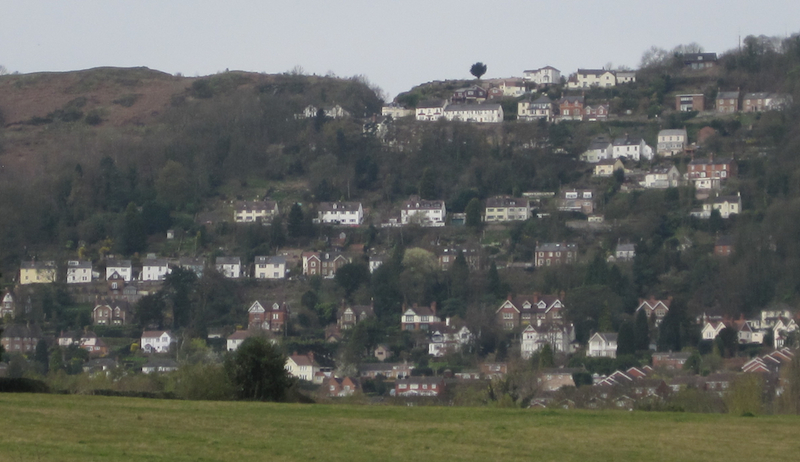
Park Wood is a picturesque woodland located in Worcestershire, England. Covering an area of approximately 100 hectares, it is a significant natural reserve that forms part of the larger Wyre Forest complex. The wood is situated just south of the bustling market town of Bewdley, and is easily accessible to visitors.

The wood is characterized by its diverse mix of tree species, including oak, birch, pine, and beech, which provide a rich habitat for a wide range of flora and fauna. Visitors can explore the network of well-maintained footpaths that meander through the wood, offering opportunities for leisurely walks, jogging, and birdwatching. In the spring, the woodland floor comes alive with a spectacular carpet of bluebells, creating a truly enchanting atmosphere.

Park Wood is not only valued for its natural beauty, but also for its historical significance. The wood has been managed by the Forestry Commission since the early 20th century and has a long history of sustainable timber production. Some of the trees in the wood are over 200 years old, providing a glimpse into the area's past.

The wood is equipped with basic facilities for visitors, such as car parking and picnic areas, making it an ideal destination for families and nature enthusiasts. It is also a popular spot for educational visits, as it offers a great opportunity for students to learn about woodland ecosystems and conservation.

Overall, Park Wood in Worcestershire is a charming woodland that offers visitors a chance to reconnect with nature, enjoy peaceful walks, and learn about the rich history and biodiversity of the area.

If you have any feedback on the listing, please let us know in the comments section below.
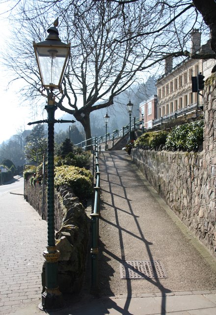
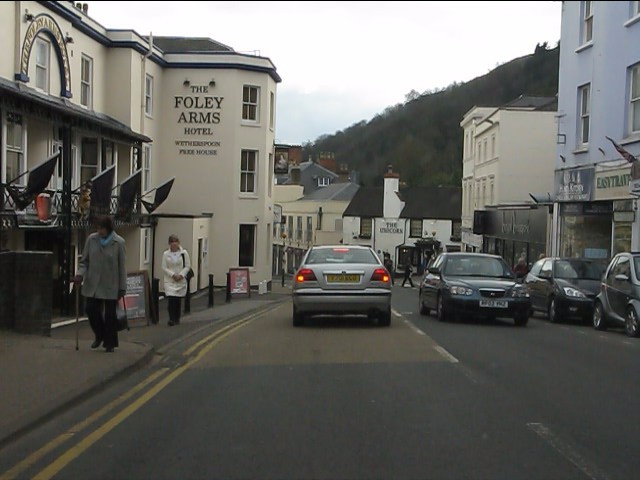
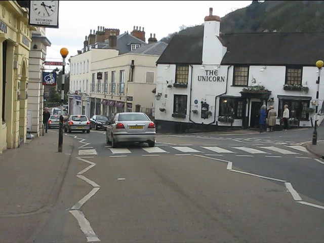
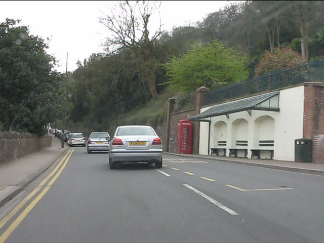
Park Wood Images

Images are sourced within 2km of 52.097459/-2.3455436 or Grid Reference SO7644. Thanks to Geograph Open Source API. All images are credited.

Houses on St Andrew's Road Houses and the former Fountain on St Andrew's Road.
Houses on St Andrew's Road
Houses and the former Fountain on St Andrew's Road.
Gas lamps on Belle Vue Island A couple of decades ago this sloping path was partially covered with an eyesore of a bus shelter.
The whole place has been tidied up since then, though attempts to remove the trees faced local opposition and a campaign in the local newspaper.
Apparently they were planted as a Falklands memorial in or around 1982.
Malvern is very proud of its gas lamps - even claiming that C.S. Lewis was so inspired by them when he was a pupil here to include one in Narnia.
They are too expensive to fuel and maintain, but they may be saved from being electrified by the installation of new efficient, low maintenance gas burners.
Gas lamps on Belle Vue Island
A couple of decades ago this sloping path was partially covered with an eyesore of a bus shelter. The whole place has been tidied up since then, though attempts to remove the trees faced local opposition and a campaign in the local newspaper. Apparently they were planted as a Falklands memorial in or around 1982. Malvern is very proud of its gas lamps - even claiming that C.S. Lewis was so inspired by them when he was a pupil here to include one in Narnia. They are too expensive to fuel and maintain, but they may be saved from being electrified by the installation of new efficient, low maintenance gas burners.
Jubilee Hill A small, but distinct peak on the Malvern ridge.
It was one of the un-named peaks until Queen Elizabeth's golden jubilee in 2002.
Her son Prince Andrew walked to the top of the hill (which was adorned with a flagpole flying the union flag for the one day only) to name it.
Jubilee Hill
A small, but distinct peak on the Malvern ridge. It was one of the un-named peaks until Queen Elizabeth's golden jubilee in 2002. Her son Prince Andrew walked to the top of the hill (which was adorned with a flagpole flying the union flag for the one day only) to name it.
Larch buds at Thirds Land Close to Jubilee Hill. 
The flowering buds will form into cones as the seasons pass.
The land got the name "Thirds Land" as it was part of the Malvern Chase common handed to King Charles II as compensation for the disafforestation of the Chase.
Larch buds at Thirds Land
Close to Jubilee Hill. The flowering buds will form into cones as the seasons pass. The land got the name "Thirds Land" as it was part of the Malvern Chase common handed to King Charles II as compensation for the disafforestation of the Chase.
Great Malvern - Worcester Road at the Foley Arms Hotel The Foley Arms had a chequered life in the period 2008-2010. It ceased trading as a hotel, was occupied by its own staff in a "sit in" and finally acquired by the Wetherspoons chain, whose name it now sports.  The Foley Arms now (2011) provides both accommodation and the usual Wetherspoons bar experience.
Great Malvern - Worcester Road at the Foley Arms Hotel
The Foley Arms had a chequered life in the period 2008-2010. It ceased trading as a hotel, was occupied by its own staff in a "sit in" and finally acquired by the Wetherspoons chain, whose name it now sports. The Foley Arms now (2011) provides both accommodation and the usual Wetherspoons bar experience.
Great Malvern - The Unicorn pub Proof that you can see a unicorn!  There's one over the entrance.
Great Malvern - The Unicorn pub
Proof that you can see a unicorn! There's one over the entrance.
Great Malvern - sheltered seating near the Belle Vue Hotel
The Wells Road near Ashdown Villa Looking in a southerly direction towards Little Malvern.
This stretch of the road is still lit by gas lamps.
On the right is the "Gothic Well" - not open to the public.
<span class="nowrap"><a title="http://www.malvern-hills.co.uk/malvernspa/well-info/gothic.html" rel="nofollow ugc noopener" href="http://www.malvern-hills.co.uk/malvernspa/well-info/gothic.html">Link</a><img style="margin-left:2px;" alt="External link" title="External link - shift click to open in new window" src="https://s1.geograph.org.uk/img/external.png" width="10" height="10"/></span>
The Wells Road near Ashdown Villa
Looking in a southerly direction towards Little Malvern. This stretch of the road is still lit by gas lamps. On the right is the "Gothic Well" - not open to the public. LinkExternal link
The Wells Road below Hanley Terrace Looking in a northerly direction towards Great Malvern.
The houses are on Hanley Terrace high above the main road.
On the left, built into the hillside, is the "Gothic Well".
<span class="nowrap"><a title="http://www.malvern-hills.co.uk/malvernspa/well-info/gothic.html" rel="nofollow ugc noopener" href="http://www.malvern-hills.co.uk/malvernspa/well-info/gothic.html">Link</a><img style="margin-left:2px;" alt="External link" title="External link - shift click to open in new window" src="https://s1.geograph.org.uk/img/external.png" width="10" height="10"/></span>
The Wells Road below Hanley Terrace
Looking in a northerly direction towards Great Malvern. The houses are on Hanley Terrace high above the main road. On the left, built into the hillside, is the "Gothic Well". LinkExternal link
The Gothic Well on Wells Road, Malvern An old wooden green door stood under the central arch until recently, but this has now been bricked up.
This gave access to a chamber going 30 feet into the hillside to the well which supplied 30,000 gallons of water per day. 
During the war the chamber was used as an air raid shelter. 
<span class="nowrap"><a title="http://www.malvern-hills.co.uk/malvernspa/well-info/gothic.html" rel="nofollow ugc noopener" href="http://www.malvern-hills.co.uk/malvernspa/well-info/gothic.html">Link</a><img style="margin-left:2px;" alt="External link" title="External link - shift click to open in new window" src="https://s1.geograph.org.uk/img/external.png" width="10" height="10"/></span>
The Gothic Well on Wells Road, Malvern
An old wooden green door stood under the central arch until recently, but this has now been bricked up. This gave access to a chamber going 30 feet into the hillside to the well which supplied 30,000 gallons of water per day. During the war the chamber was used as an air raid shelter. LinkExternal link
Mc Cann / Hook gravestone in Malvern churchyard Just caught in the sunlight.
To the memory of Anne Elizabeth wife of John Mc Cann of this parish who died Oct 9th 1852 aged 42 years.
Also of Elizabeth Patience Hook, aged 50 years, daughter of the above, who died at sea Feb 27th 1867 (Lat 51:18s Long 132 w)
Also of Kate Elizabeth, daughter of George and Elizabeth Patience Hook who died March 8th 1867 aged 9 months
Also of William youngest son of the above
died Decr 18th 1906 aged 59 years
Mc Cann / Hook gravestone in Malvern churchyard
Just caught in the sunlight. To the memory of Anne Elizabeth wife of John Mc Cann of this parish who died Oct 9th 1852 aged 42 years. Also of Elizabeth Patience Hook, aged 50 years, daughter of the above, who died at sea Feb 27th 1867 (Lat 51:18s Long 132 w) Also of Kate Elizabeth, daughter of George and Elizabeth Patience Hook who died March 8th 1867 aged 9 months Also of William youngest son of the above died Decr 18th 1906 aged 59 years
Belle Vue Island The island stands between the A449 Ledbury to Worcester road above and Abbey Road below.
It takes its name from Belle Vue Terrace and the old Belle Vue Hotel (Belle Vue is still visible on the building).
The two London plane trees were planted in memory of the 1982 Falklands war and were saved from felling when the island was improved by a campaign: "Save the Belle Vue Two".
Belle Vue Island
The island stands between the A449 Ledbury to Worcester road above and Abbey Road below. It takes its name from Belle Vue Terrace and the old Belle Vue Hotel (Belle Vue is still visible on the building). The two London plane trees were planted in memory of the 1982 Falklands war and were saved from felling when the island was improved by a campaign: "Save the Belle Vue Two".
Belle Vue Island Looking north from the Malvhina fountain.
The gas lamps are soon to be converted to use more efficient burners making them brighter, cheaper and more reliable.
Belle Vue Island
Looking north from the Malvhina fountain. The gas lamps are soon to be converted to use more efficient burners making them brighter, cheaper and more reliable.
Gas lamp on Belle Vue Island The Victorian gas lamps are all "listed", but under threat as they are very expensive to run and maintain.
Planning permission is being sought to change the burners to make them more efficient, brighter, cheaper and more reliable.
On the right is the Post Office; on the left the Blue Bird Tea Rooms above Elts shoe shop, Time Outdoors selling hiking clothing and equipment and the Tourist Information Centre.
Gas lamp on Belle Vue Island
The Victorian gas lamps are all "listed", but under threat as they are very expensive to run and maintain. Planning permission is being sought to change the burners to make them more efficient, brighter, cheaper and more reliable. On the right is the Post Office; on the left the Blue Bird Tea Rooms above Elts shoe shop, Time Outdoors selling hiking clothing and equipment and the Tourist Information Centre.
Junction of Priory Road and Abbey Road, Great Malvern Priory Road is on the left, and Abbey Road is on the right.
Junction of Priory Road and Abbey Road, Great Malvern
Priory Road is on the left, and Abbey Road is on the right.
Grange Road, Great Malvern More or less on this corner, Abbey Road becomes Grange Road. Abbey Road also continues to the left, but not shown in this view. Beyond the car in Grange Road, in the distance, is Malvern's well known theatre complex.
Grange Road, Great Malvern
More or less on this corner, Abbey Road becomes Grange Road. Abbey Road also continues to the left, but not shown in this view. Beyond the car in Grange Road, in the distance, is Malvern's well known theatre complex.
Steps from Wells Road to Belle Vue Terrace, Great Malvern If you like hills and climbing, then Malvern is the place to be.
Steps from Wells Road to Belle Vue Terrace, Great Malvern
If you like hills and climbing, then Malvern is the place to be.
Busker outside Waitrose, Great Malvern A cellist plays under the circular glass roof at the start of the walkway by the Waitrose supermarket.
Beyond is the rival supermarket Somerfield which is becoming a Co-op, but was originally built as the International in the 1980s which then boasted a fresh fish stall, a butchery department and an in-store bakery - all soon went.
They even had a creche with a television - I remember watching the Mary Rose being raised from its watery grave from that in-store TV.
Busker outside Waitrose, Great Malvern
A cellist plays under the circular glass roof at the start of the walkway by the Waitrose supermarket. Beyond is the rival supermarket Somerfield which is becoming a Co-op, but was originally built as the International in the 1980s which then boasted a fresh fish stall, a butchery department and an in-store bakery - all soon went. They even had a creche with a television - I remember watching the Mary Rose being raised from its watery grave from that in-store TV.
Show me another place!

Park Wood is located at Grid Ref: SO7644 (Lat: 52.097459, Lng: -2.3455436)

Administrative County: Worcestershire

District: Malvern Hills

Police Authority: West Mercia

What 3 Words

///jiffy.denser.massaging. Near Great Malvern, Worcestershire

Nearby Locations

Park Wood Summer Hill

Related Wikis

Malvern water

Malvern water is a natural spring water from the Malvern Hills on the border of the counties of Herefordshire and Worcestershire in England. The Hills...

Wyche, Worcestershire

Wyche ( WITCH), often referred to locally as The Wyche, is a village and a suburb of the town of Malvern, Worcestershire, England, and part of the civil...

Worcestershire Beacon

Worcestershire Beacon, also popularly known as Worcester Beacon, or locally simply as The Beacon, is a hill whose summit at 425 metres (1,394 ft) is the...

Downs Light Railway

The Downs Light Railway is the world's oldest private miniature railway, with a track gauge of 9+1⁄2 in (241 mm). The railway is located within the grounds...

The Downs Malvern

The Downs Malvern is a private prep school in the United Kingdom, founded in 1900. It is located on a 55-acre (22 ha) site in Colwall in the County of...

Sugarloaf Hill, Malvern

Sugarloaf Hill lies between the Worcestershire Beacon and North Hill in the range of Malvern Hills that runs about 13 kilometres (8 mi) north-south along...

Malvern Wells railway station

Malvern Wells railway station was a station on the Worcester and Hereford section of the Great Western Railway at Lower Wyche, between Great Malvern and...

Malvern College

Malvern College is a fee-charging coeducational boarding and day school in Malvern, Worcestershire, England. It is a public school in the British sense...

Nearby Amenities

Located within 500m of 52.097459,-2.3455436
Barrier: stile
Lat/Long: 52.0956298/-2.3492204
Barrier: stile
Foot: yes
Lat/Long: 52.0970773/-2.3493022
Drinking Water
Hayslad
Lat/Long: 52.1010271/-2.3423486
Quarry
Naptan AtcoCode: 2000G043800
Naptan Bearing: N
Naptan BusStopType: CUS
Naptan CommonName: Quarry
Naptan Indicator: opp
Naptan Landmark: Quarry
Naptan NaptanCode: wocgjdja
Naptan PlusbusZoneRef: GTMLVRN
Naptan Street: West Malvern Road
Naptan Verified: no
Source: naptan_import
Lat/Long: 52.1010558/-2.3426485
Bus Stop
West Malvern Road
Bus: yes
Naptan AtcoCode: 2000G502672
Naptan Bearing: S
Naptan BusStopType: CUS
Naptan CommonName: West Malvern Road
Naptan Indicator: Southbound
Naptan Landmark: Wyche Cutting
Naptan NaptanCode: wocgjdat
Naptan PlusbusZoneRef: GTMLVRN
Naptan Street: West Malvern Road
Naptan Verified: no
Public Transport: platform
Source: naptan_import
Lat/Long: 52.0968179/-2.3406599
Bus Stop
West Malvern Road (Northbound)
Bus: yes
Naptan AtcoCode: 2000G702672
Naptan Bearing: N
Naptan BusStopType: CUS
Naptan CommonName: West Malvern Road (Northbound)
Naptan Indicator: Northbound
Naptan NaptanCode: wocgpagm
Naptan PlusbusZoneRef: GTMLVRN
Naptan Street: West Malvern Road
Naptan Verified: no
Public Transport: platform
Source: naptan_import
Lat/Long: 52.096476/-2.3407595
Quarry
Naptan AtcoCode: 2000G743800
Naptan Bearing: S
Naptan BusStopType: CUS
Naptan CommonName: Quarry
Naptan Indicator: adj
Naptan Landmark: Quarry
Naptan NaptanCode: wocgpagj
Naptan PlusbusZoneRef: GTMLVRN
Naptan Street: West Malvern Road
Naptan Verified: no
Source: naptan_import
Lat/Long: 52.1010114/-2.3424438
Post Box
Collection Plate: CP5
Collection Times: Mo-Fr 17:15; Sa 11:15
Historic Operator: Post Office
Post Box Apertures: 1
Post Box Manufacturer: ?? Allen & Co. London
Post Box Type: wall
Ref: WR14 127
Royal Cypher: VR
Royal Cypher Wikidata: Q33102356
Lat/Long: 52.0960954/-2.3403123
Post Box
Collection Plate: CP5
Collection Times: Mo-Fr 16:45; Sa 07:30
Description: In wall surrounding bungalow
Historic Operator: Post Office
Post Box Type: wall
Ref: WR14 138
Royal Cypher: GR
Royal Cypher Wikidata: Q33102273
Lat/Long: 52.0998595/-2.3478722
Bench
Lat/Long: 52.096151/-2.3387664
Bench
Lat/Long: 52.0978773/-2.3388364
Generator Method: photovoltaic
Generator Output Electricity: yes
Generator Source: solar
Generator Type: solar_photovoltaic_panel
Location: roof
Power: generator
Lat/Long: 52.0969954/-2.3419091
Generator Method: photovoltaic
Generator Output Electricity: yes
Generator Source: solar
Generator Type: solar_photovoltaic_panel
Location: roof
Power: generator
Lat/Long: 52.0997289/-2.3476839
Bench
Lat/Long: 52.0989301/-2.3386752
The data included in this document is from www.openstreetmap.org. The data is made available under ODbL.

Have you been to Park Wood?

Leave your review of Park Wood below (or comments, questions and feedback).