Gibbet Hill
Hill, Mountain in Somerset Mendip
England
Gibbet Hill

Gibbet Hill is a prominent landmark located in the county of Somerset, England. Situated near the village of Norton St Philip, it is part of the picturesque Mendip Hills range. Despite its name, Gibbet Hill is not actually a hill or mountain, but rather a large limestone outcrop that stands at an elevation of 239 meters (784 feet) above sea level.
The name "Gibbet Hill" originates from its historical association with public executions. In the past, criminals convicted of heinous crimes were often hanged from a gibbet, a wooden structure used for displaying corpses. Gibbet Hill was a common location for such executions, which became a grim spectacle for the local population.
Today, Gibbet Hill serves as a popular tourist attraction and offers breathtaking panoramic views of the surrounding countryside. The area is a haven for nature enthusiasts, with numerous walking trails and footpaths that wind through the adjacent fields and woodlands. The hill is covered in lush grass and wildflowers during the summer months, providing a vibrant and picturesque landscape.
In addition to its natural beauty, Gibbet Hill also holds historical significance. The nearby Norton St Philip is renowned for its well-preserved medieval architecture, including the impressive 14th-century church of St. Philip and St. James. The hill's proximity to this charming village makes it an ideal starting point for exploring the area's rich heritage.
Overall, Gibbet Hill offers a unique blend of natural beauty and historical interest, making it a must-visit destination for those seeking both scenic views and a glimpse into Somerset's past.
If you have any feedback on the listing, please let us know in the comments section below.
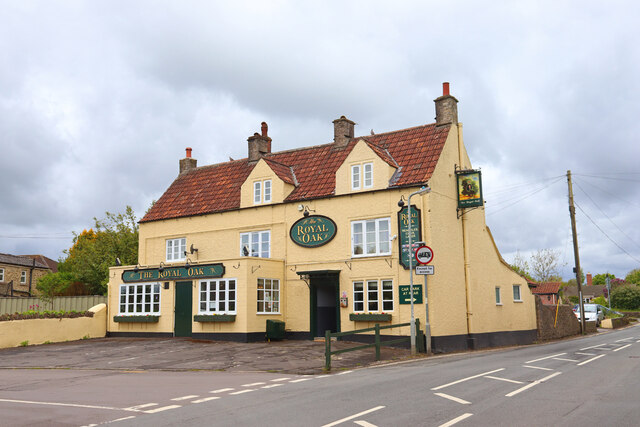
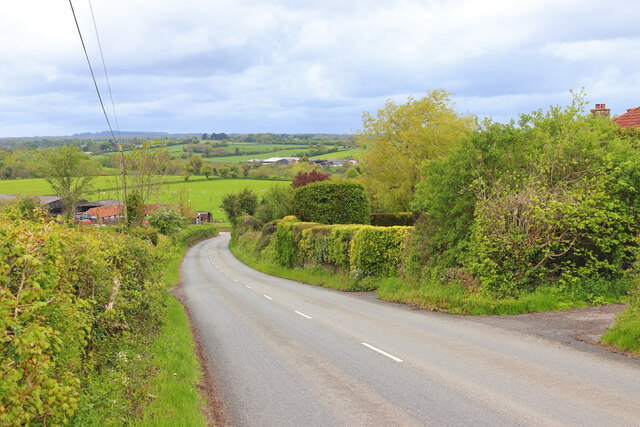
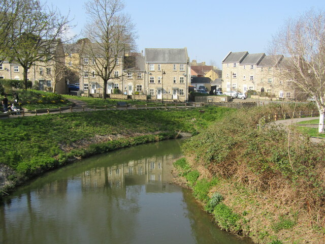
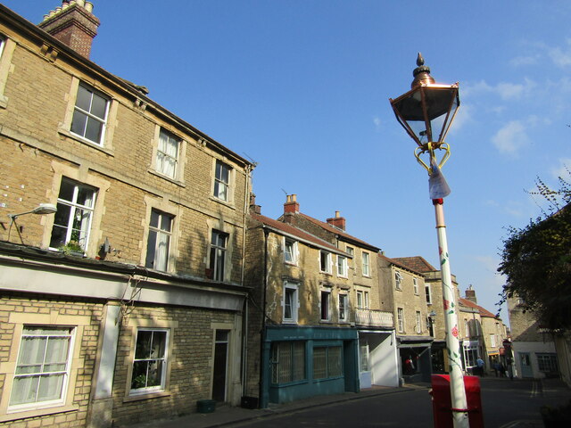
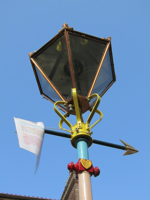
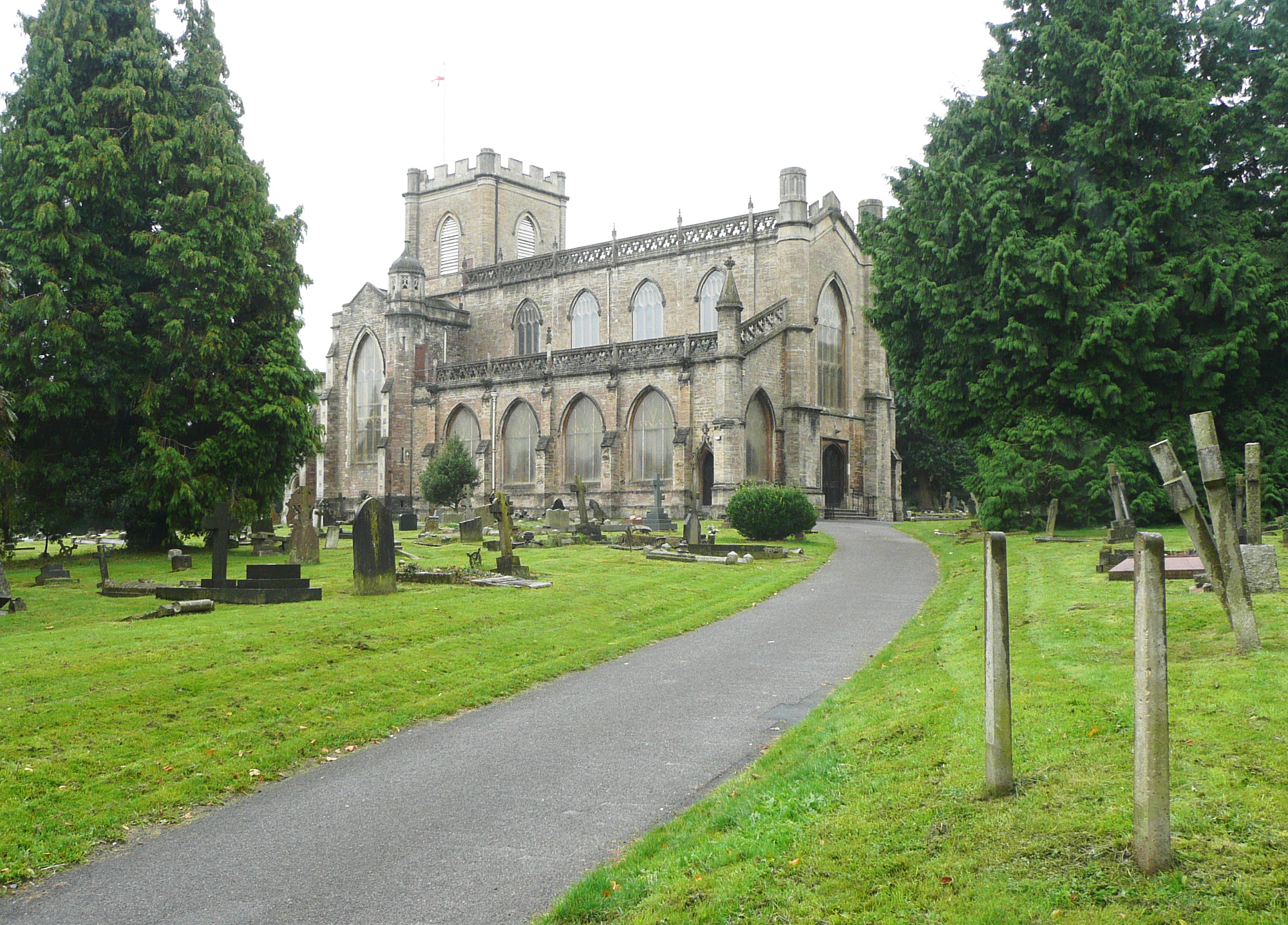
Gibbet Hill Images
Images are sourced within 2km of 51.227202/-2.3404998 or Grid Reference ST7647. Thanks to Geograph Open Source API. All images are credited.


Gibbet Hill is located at Grid Ref: ST7647 (Lat: 51.227202, Lng: -2.3404998)
Administrative County: Somerset
District: Mendip
Police Authority: Avon and Somerset
What 3 Words
///bullion.parrot.hindered. Near Frome, Somerset
Nearby Locations
Related Wikis
Christ Church, Frome
The Anglican Christ Church in Frome, Somerset, England, was built in 1817 and 1818. It is a Grade II* listed building. == History == The church was built...

Church of the Holy Trinity, Frome
The Frome Holy Trinity in Frome, Somerset, England was built in 1837. It is a Grade II* listed building. == History == The church was built in 1837, by...
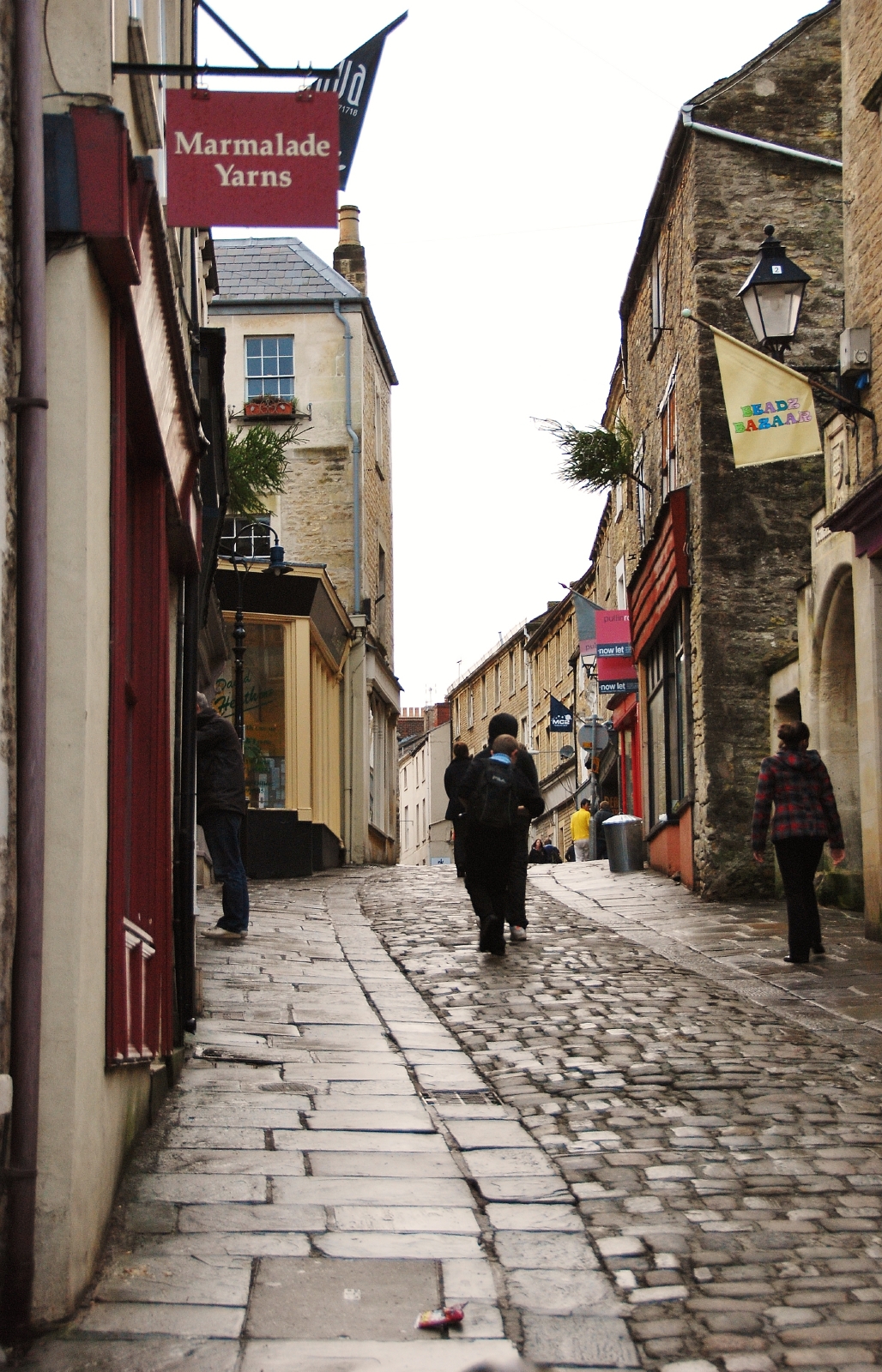
Frome Cobble Wobble
The Frome Cobble Wobble, established in 2009, is an individually timed bicycle hill climb sprint in Frome, Somerset, England. It was first organised by...
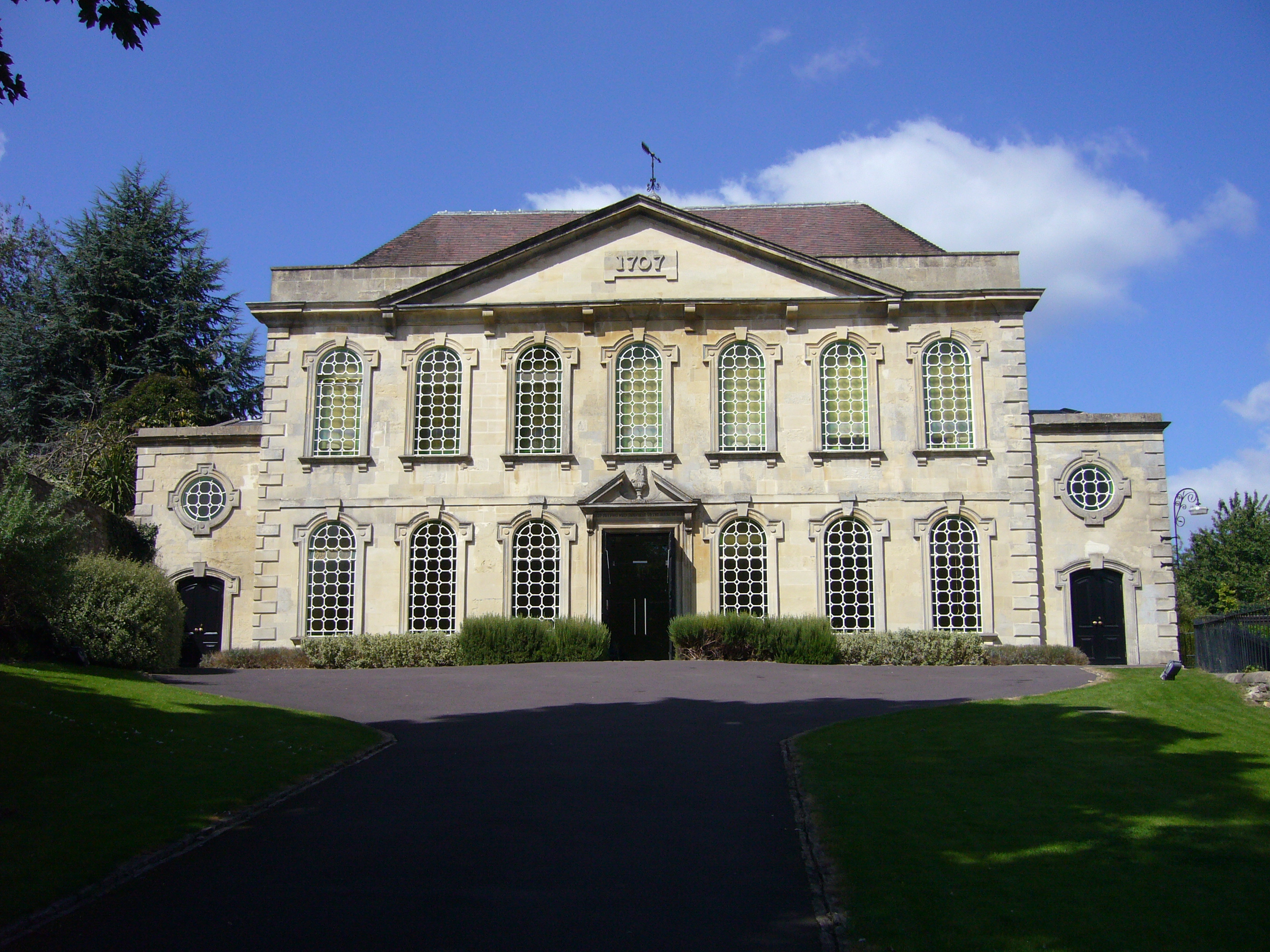
Rook Lane Chapel
Rook Lane Chapel was a place of worship, and is now an arts centre, in Frome, Somerset, England. Built in 1707 by James Pope the chapel was the place of...

Frome Rural District
Frome was a rural district in Somerset, England, from 1894 to 1974. The district was created in 1894 under the Local Government Act 1894. It was abolished...
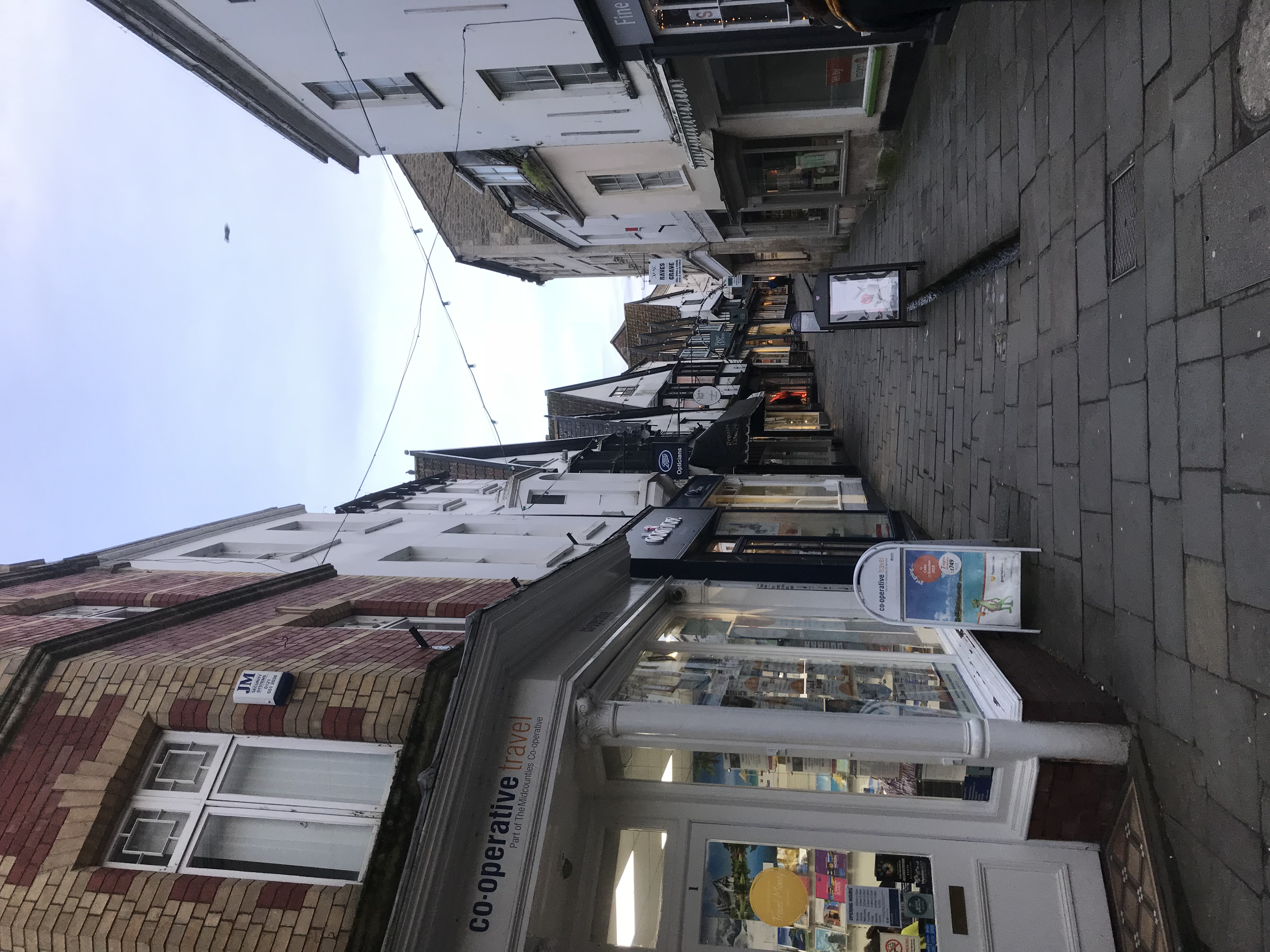
Frome
Frome ( FROOM) is a town and civil parish in eastern Somerset, England. The town is built on uneven high ground at the eastern end of the Mendip Hills...
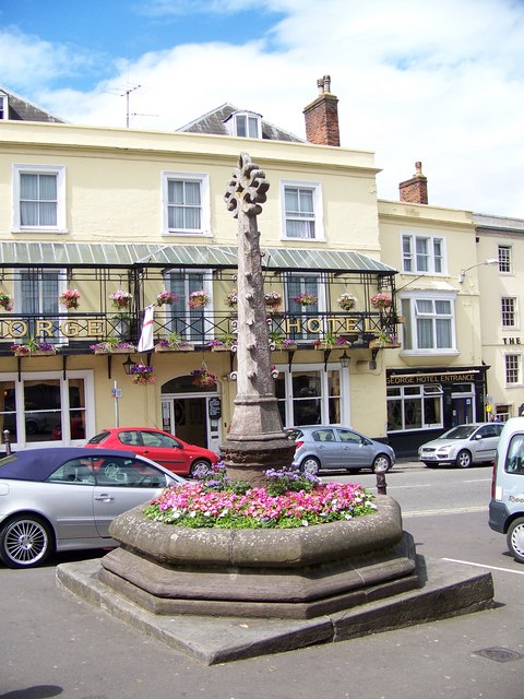
Boyle Cross
The Boyle Cross is a Grade II listed structure located in the town centre of Frome in Somerset, England. Directly across the road from the George Hotel...
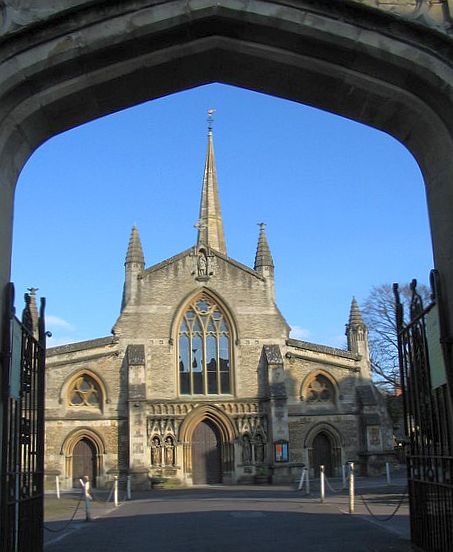
Church of St John the Baptist, Frome
The Church of St John the Baptist, Frome is a parish church in the Church of England located in Frome within the English county of Somerset. It is a Grade...
Nearby Amenities
Located within 500m of 51.227202,-2.3404998Have you been to Gibbet Hill?
Leave your review of Gibbet Hill below (or comments, questions and feedback).