Chesterhouse Hill

Hill, Mountain in Roxburghshire

Scotland

Chesterhouse Hill

Deanbrae Law 10 years on from <a href="https://www.geograph.org.uk/photo/3149784">NT7721 : Deanbrae Law</a>
Deanbrae Law Credit: Richard Webb

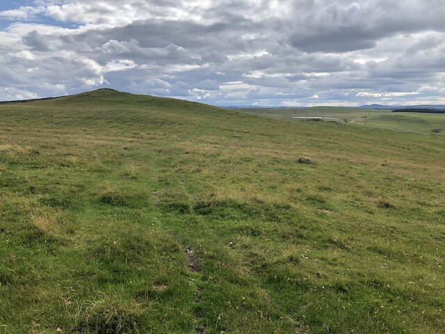
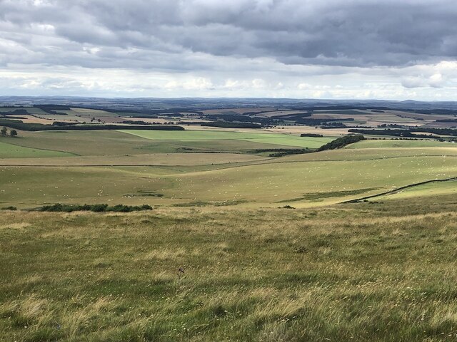
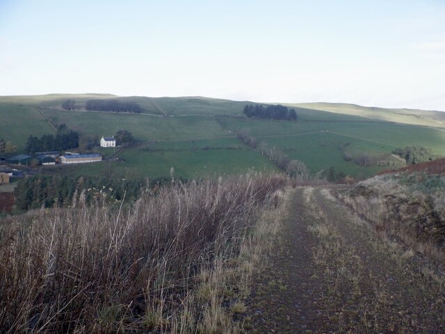
Chesterhouse Hill is a prominent hill located in Roxburghshire, a historic county in the southern region of Scotland. Rising to an elevation of approximately 432 meters (1,417 feet), it offers breathtaking panoramic views of the surrounding countryside.

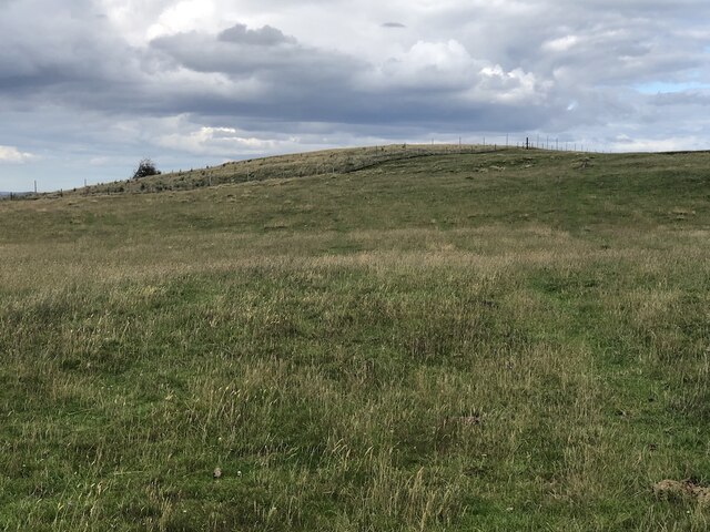
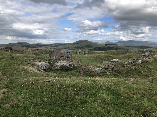
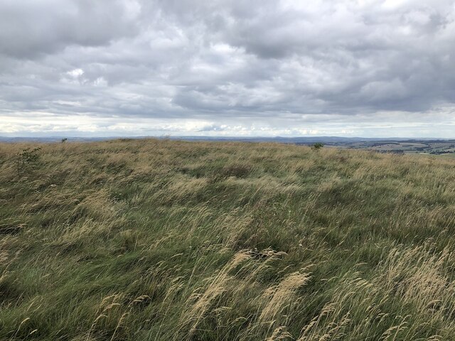
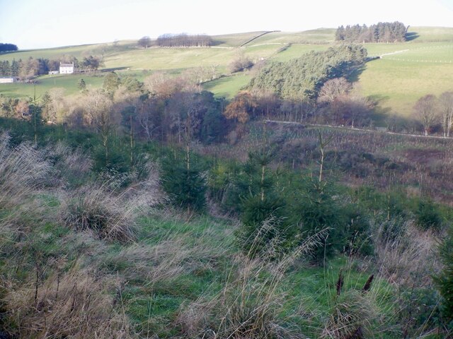
Situated near the town of Jedburgh, Chesterhouse Hill is known for its distinctive conical shape, making it easily recognizable from a distance. The hill is composed mainly of sedimentary rocks, with the lower slopes covered in grassland and heather, while the upper reaches are characterized by exposed rock formations.

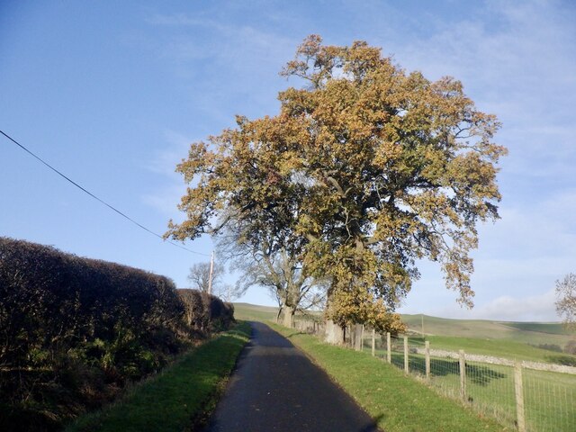
The area surrounding Chesterhouse Hill is rich in natural beauty and provides a haven for various flora and fauna. The hill is home to a variety of bird species, including raptors such as buzzards and kestrels, as well as smaller songbirds like larks and finches. Visitors may also spot mammals such as hares, rabbits, and roe deer in the surrounding fields and woodlands.

Due to its accessibility and scenic location, Chesterhouse Hill is a popular destination for outdoor enthusiasts. Hiking and walking trails snake their way up the hill, providing stunning vistas along the way. On a clear day, the summit offers unparalleled views of the rolling hills, picturesque valleys, and distant peaks of the Scottish Borders.

Overall, Chesterhouse Hill in Roxburghshire is a natural gem, attracting nature lovers, hikers, and photographers who seek to immerse themselves in the beauty of the Scottish countryside.

If you have any feedback on the listing, please let us know in the comments section below.

Chesterhouse Hill Images

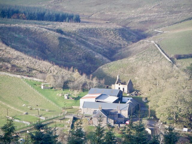
Images are sourced within 2km of 55.481082/-2.3762703 or Grid Reference NT7620. Thanks to Geograph Open Source API. All images are credited.

Deanbrae Law 10 years on from <a href="https://www.geograph.org.uk/photo/3149784">NT7721 : Deanbrae Law</a>
Deanbrae Law
10 years on from NT7721 : Deanbrae Law
Kale Water and tree From Heavyside Bridge, downstream.
Kale Water and tree
From Heavyside Bridge, downstream.
Kale Water Downstream from Heavyside Bridge
Kale Water
Downstream from Heavyside Bridge
Over Whitton Hill Grazed by cattle
Over Whitton Hill
Grazed by cattle
View from Over Whitton Hill
Heatherland Hill The summit is now in a fenced enclosure with young trees.
Heatherland Hill
The summit is now in a fenced enclosure with young trees.
Rocks on Heatherland Hill A rocky area just below the summit which is the other side of a deer fence.
Rocks on Heatherland Hill
A rocky area just below the summit which is the other side of a deer fence.
Summit, Heatherland Hill The summit, planted with trees. Taken through a high deer and rabbit fence.
Summit, Heatherland Hill
The summit, planted with trees. Taken through a high deer and rabbit fence.
Onlookers encountered on the descent from Hownam Law The route back down from Hownam Law to Howgate passes cattle grazing land on former cultivation terraces.
Onlookers encountered on the descent from Hownam Law
The route back down from Hownam Law to Howgate passes cattle grazing land on former cultivation terraces.
Kale Water from Heavyside Bridge A view downstream from Heavyside Bridge.  Hownam Law - right of centre in the distance - looks somewhat belittled from this vantage point.
Kale Water from Heavyside Bridge
A view downstream from Heavyside Bridge. Hownam Law - right of centre in the distance - looks somewhat belittled from this vantage point.
Kale Water, Hownam
Kale Water, Hownam
Sharplaw Improved land against rough grazing on the slopes of Hownam Steeple.
Sharplaw
Improved land against rough grazing on the slopes of Hownam Steeple.
Road to Oxnam From Hownam, view off the Steeple.
Road to Oxnam
From Hownam, view off the Steeple.
Oak, Hownam to Oxton Road The long climb out of Hownam.
Oak, Hownam to Oxton Road
The long climb out of Hownam.
View of Hownam Law Across the Kale Water. Hownam Law carries one of the many hill forts in the area.
View of Hownam Law
Across the Kale Water. Hownam Law carries one of the many hill forts in the area.
Young trees, Thowliestane Hill Part of a large new forestry plantation.
Young trees, Thowliestane Hill
Part of a large new forestry plantation.
Forest road, Thowliestane Hill Quite a lengthy new road from c. 2015 it almost reaches Dere Street.
Forest road, Thowliestane Hill
Quite a lengthy new road from c. 2015 it almost reaches Dere Street.
Beirhope
Beirhope
Show me another place!

Chesterhouse Hill is located at Grid Ref: NT7620 (Lat: 55.481082, Lng: -2.3762703)

Unitary Authority: The Scottish Borders

Police Authority: The Lothians and Scottish Borders

What 3 Words

///hiding.similar.forgotten. Near Jedburgh, Scottish Borders

Related Wikis

Hownam

Hownam or Hounam is a small village and parish situated 8 miles east of Jedburgh in the Scottish Borders area of Scotland, near the Anglo-Scottish border...

Cessford Castle

Cessford Castle is a large ruined mid-15th century L-plan castle near the village of Cessford, midway Jedburgh and Kelso, in the historic county of Roxburghshire...

Cessford, Scottish Borders

Cessford is a hamlet and former barony about a mile south of the B6401 road, in the Scottish Borders area of Scotland. The placename is from Gaelic 'ceis...

Morebattle

Morebattle is a village in the Scottish Borders area of Scotland, on the B6401, seven miles south of Kelso, Scottish Borders, beside the Kale Water, a...

Nearby Amenities

Located within 500m of 55.481082,-2.3762703
Chesterhouse Hill
Natural: peak
Lat/Long: 55.481302/-2.3713232
Heatherland Hill
Natural: peak
Lat/Long: 55.4811806/-2.376352
The data included in this document is from www.openstreetmap.org. The data is made available under ODbL.

Have you been to Chesterhouse Hill?

Leave your review of Chesterhouse Hill below (or comments, questions and feedback).