Burnt Hill

Hill, Mountain in Lancashire Rossendale

England

Burnt Hill

Assortment of Fence Posts on Causeway Height The moorland vegetation has taken on a splendid autumnal red-brown colour
Assortment of Fence Posts on Causeway Height Credit: Chris Heaton

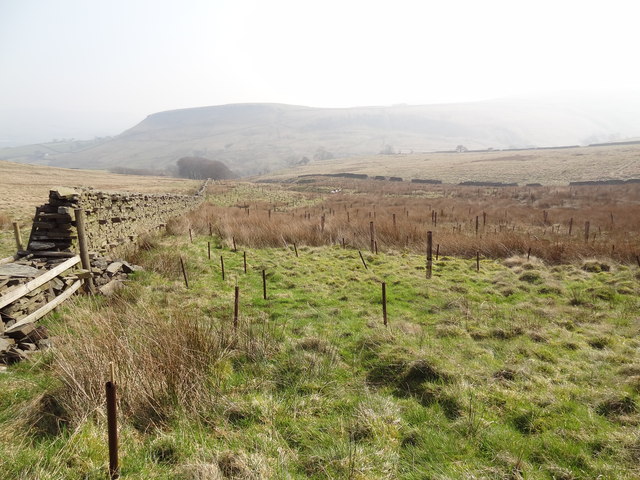
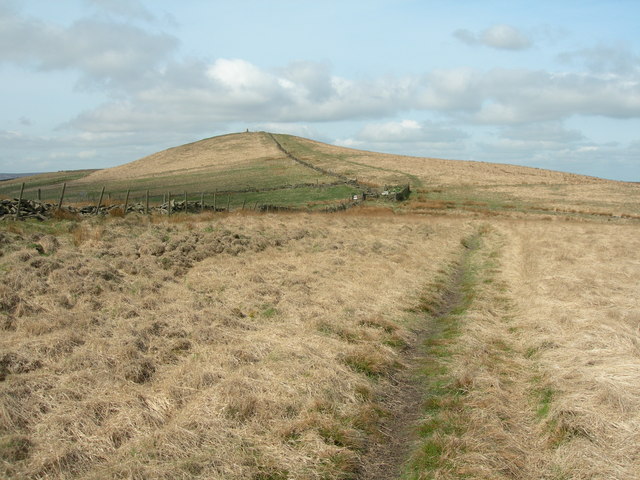
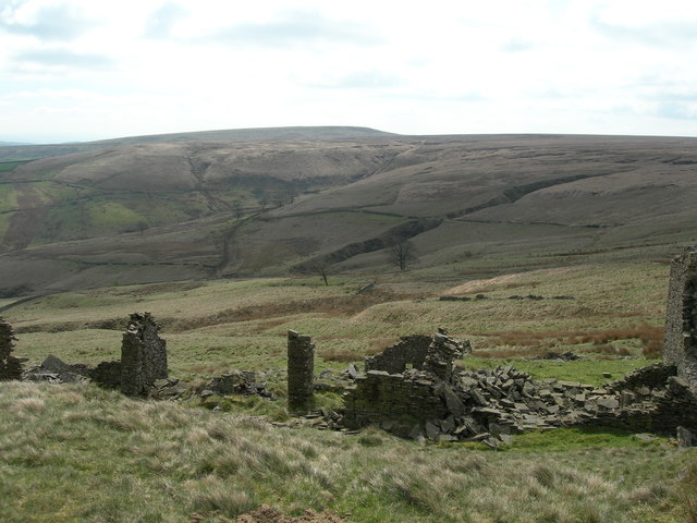
Burnt Hill is a prominent hill located in the county of Lancashire, England. Standing at an elevation of approximately 1,476 feet (450 meters), it is considered a notable landmark in the region. The hill is part of the larger West Pennine Moors, a designated Area of Outstanding Natural Beauty.

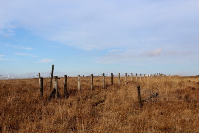
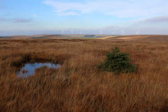
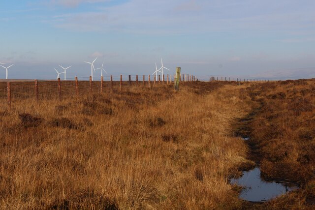
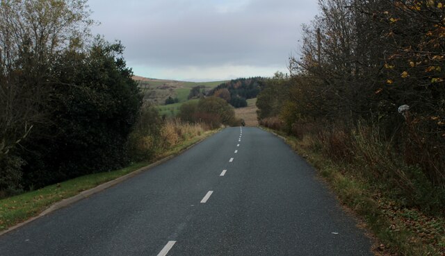
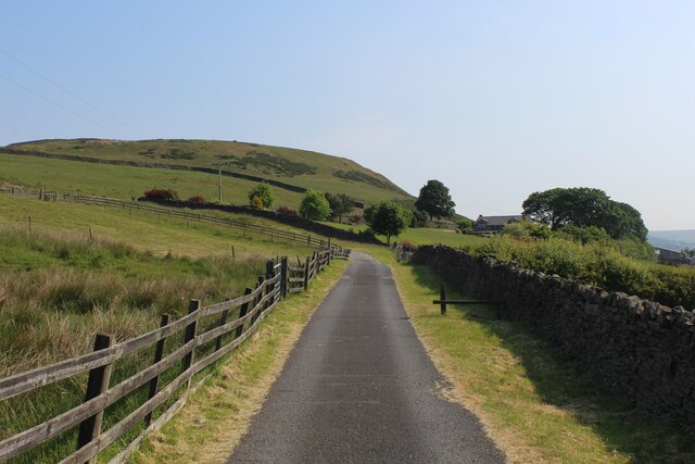
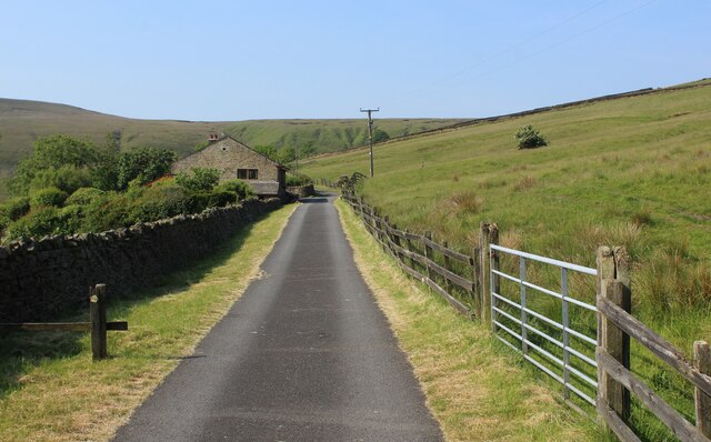
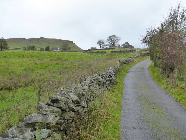
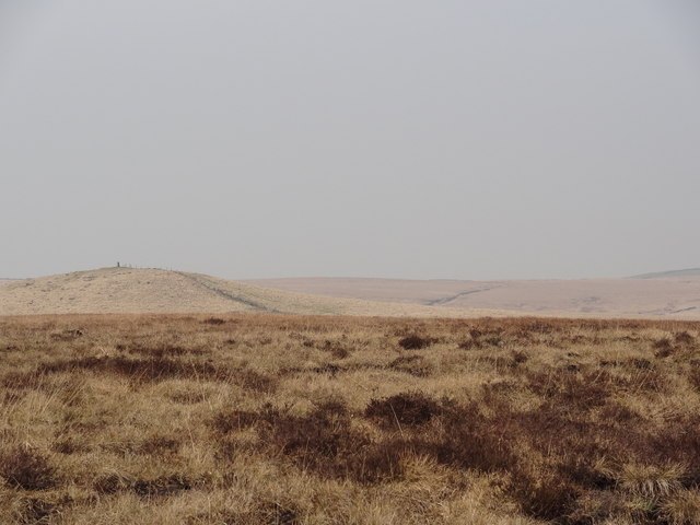
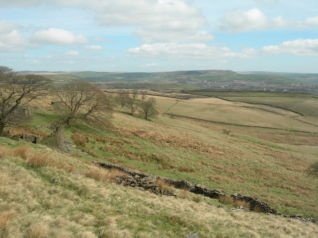
Burnt Hill is characterized by its distinctive shape and steep slopes, making it a challenging but rewarding destination for hikers and nature enthusiasts. The hill offers panoramic views of the surrounding countryside, including the nearby towns of Darwen and Blackburn. On clear days, it is even possible to see as far as the coast and the Irish Sea.

The hill is covered in a mix of heather, grass, and moorland vegetation, providing a diverse habitat for various plant and animal species. It is not uncommon to spot birds of prey, such as kestrels and buzzards, soaring above the hill. The area is also known for its rich archaeological heritage, with several Bronze Age burial mounds and stone circles scattered across the landscape.

Due to its location within the West Pennine Moors, Burnt Hill is a popular destination for outdoor activities such as walking, hiking, and mountain biking. Several well-marked trails traverse the hill, catering to different skill levels and preferences. The hill attracts both locals and visitors alike, offering a peaceful and picturesque retreat from the hustle and bustle of urban life.

Overall, Burnt Hill stands as a prominent and picturesque landmark in Lancashire, offering stunning views, rich biodiversity, and a range of recreational opportunities for nature lovers.

If you have any feedback on the listing, please let us know in the comments section below.

Burnt Hill Images

Images are sourced within 2km of 53.674163/-2.3630899 or Grid Reference SD7619. Thanks to Geograph Open Source API. All images are credited.

Assortment of Fence Posts on Causeway Height The moorland vegetation has taken on a splendid autumnal red-brown colour
Assortment of Fence Posts on Causeway Height
The moorland vegetation has taken on a splendid autumnal red-brown colour
Barnes Height Isolated and stunted Christmas Tree on boggy ground on high moorland between Darwen and Haslingden
Barnes Height
Isolated and stunted Christmas Tree on boggy ground on high moorland between Darwen and Haslingden
Causeway Height The moorland vegetation has taken on a pleasing autumnal reddish brown colour
Causeway Height
The moorland vegetation has taken on a pleasing autumnal reddish brown colour
Private Road to Uglow Farm Leading off Broadhead Road, this private driveway has been adopted by a public footpath
Private Road to Uglow Farm
Leading off Broadhead Road, this private driveway has been adopted by a public footpath
Broadhead Road below Whowells
Entrance to Clough House
Rossendale Way above Great House Farm A 41 mile circular high level route that roughly follows the boundary of Rossendale Borough.
Yellow indicators stamped with an "RW" logo in green leads the walker around the environs of Bacup, Rawtenstall, Haslingden and Whitworth.
Rossendale Way above Great House Farm
A 41 mile circular high level route that roughly follows the boundary of Rossendale Borough. Yellow indicators stamped with an "RW" logo in green leads the walker around the environs of Bacup, Rawtenstall, Haslingden and Whitworth.
Rossendale Way heading North East towards Great House Farm Access lane adopted by the Rossendale Way long distance footpath - with Tor Hill in the background.
Rossendale Way heading North East towards Great House Farm
Access lane adopted by the Rossendale Way long distance footpath - with Tor Hill in the background.
Rossendale Way approaching Trickling Water Barn The long distance footpath adopts this access lane, becoming more rudamentary as it passes Fall Bank Farm, slightly further on.
Rossendale Way approaching Trickling Water Barn
The long distance footpath adopts this access lane, becoming more rudamentary as it passes Fall Bank Farm, slightly further on.
Approach to Tor End Farm View towards the farm up Tor End Road
Approach to Tor End Farm
View towards the farm up Tor End Road
Stone Cottages At Alden, Helmshore.
Stone Cottages
At Alden, Helmshore.
Causeway Height With Hog Lowe Pike on the horizon
Causeway Height
With Hog Lowe Pike on the horizon
Newly planted woodland at Rushy Leach Tor Hill is in the distance, in the mist.
Newly planted woodland at Rushy Leach
Tor Hill is in the distance, in the mist.
Path from Hog Lowe Pike to Causeway End
Causeway End Looking southeast across the abandoned valley.
Causeway End
Looking southeast across the abandoned valley.
Looking east from Causeway End The town in view is Helshore, and the green plateau on the right is Tor Hill [SD7720].
Looking east from Causeway End
The town in view is Helshore, and the green plateau on the right is Tor Hill [SD7720].
Eight Trees Looking east over Helmshore and the Rossendale Valley. The plateau above the town is Cowpe Lowe [SD8220]. Tor Hill [SD7720] is on the right.
Eight Trees
Looking east over Helmshore and the Rossendale Valley. The plateau above the town is Cowpe Lowe [SD8220]. Tor Hill [SD7720] is on the right.
Rushy Leach Looking northeast along the Rossendale Way, past Rushy Leach which is on the left amongst the trees. Another abandoned and derelict farmhouse. Hard times have visited this valley, all the way down from Causeway End <a href="https://www.geograph.org.uk/gridref/SD7521">SD7521</a>.
Rushy Leach
Looking northeast along the Rossendale Way, past Rushy Leach which is on the left amongst the trees. Another abandoned and derelict farmhouse. Hard times have visited this valley, all the way down from Causeway End SD7521.
Show me another place!

Burnt Hill is located at Grid Ref: SD7619 (Lat: 53.674163, Lng: -2.3630899)

Administrative County: Lancashire

District: Rossendale

Police Authority: Lancashire

What 3 Words

///bitters.tripods.fats. Near Edgworth, Lancashire

Nearby Locations

Wet Moss Burnt Hill

Related Wikis

Alden Valley

The Alden Valley is a small valley on the eastern edge of the West Pennine Moors, west of Helmshore in Rossendale, Lancashire, England. In the 14th century...

Musbury Tor

Musbury Tor or Tor Hill is a flat-topped hill in south-east Lancashire, England. It overlooks the village of Helmshore and separates Alden Valley to its...

Musbury Valley

The Musbury Valley is a small valley in the Helmshore area of Rossendale Valley, Lancashire. Musbury Brook flows through its length, and its south side...

Pilgrims' Cross, Holcombe Moor

Pilgrims' Cross, Holcombe Moor, also called Whowell's Cross and Chatterton's Cross, is located on Holcombe Moor near Ramsbottom and Holcombe, Greater Manchester...

Have you been to Burnt Hill?

Leave your review of Burnt Hill below (or comments, questions and feedback).