Hill of Barnyards

Hill, Mountain in Aberdeenshire

Scotland

Hill of Barnyards

Delgaty from the Woodland Delgaty Castle glimpsed from its woodland to the east.
Delgaty from the Woodland Credit: Andrew Wood

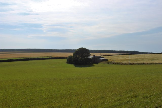
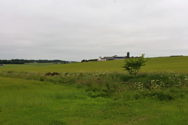
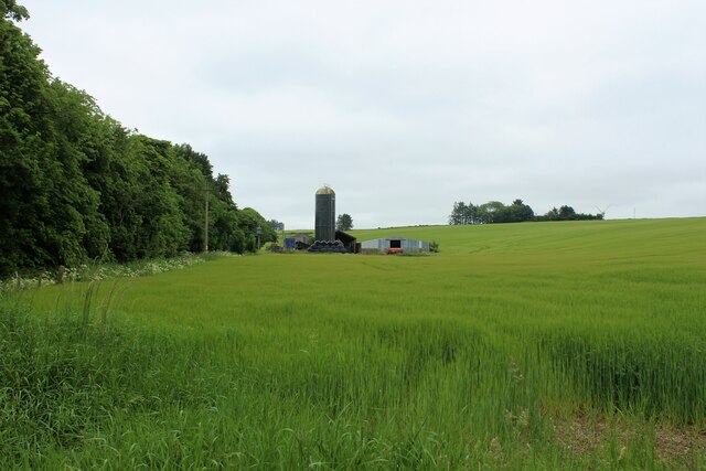
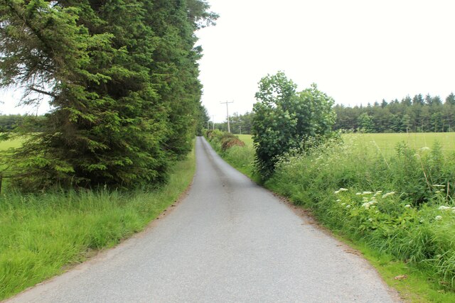
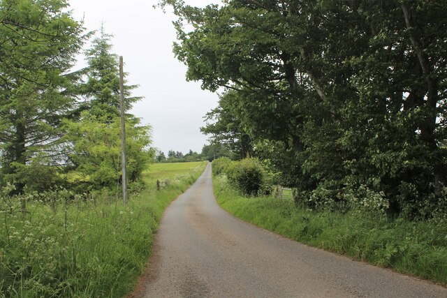
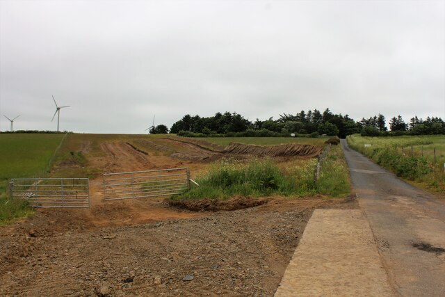
Hill of Barnyards is a prominent peak located in Aberdeenshire, Scotland. It stands at an elevation of approximately 390 meters (1,280 feet) above sea level, making it a modest yet striking feature of the local landscape. Situated near the village of Clatt, Hill of Barnyards offers captivating panoramic views of the surrounding countryside.

The hill is composed primarily of granite, a common geological formation in the area. Its slopes are covered in lush green grass, dotted with a variety of wildflowers during the spring and summer months. The gentle incline of the hill makes it accessible to hikers of various skill levels, making it a popular destination for outdoor enthusiasts and nature lovers.

At the summit of Hill of Barnyards, visitors are rewarded with breathtaking vistas that stretch for miles. On clear days, the view encompasses rolling hills, fertile farmland, and distant mountain ranges. The site also provides a unique opportunity for birdwatching, as various species of birds can be spotted soaring overhead or perched on the hill's rocky outcrops.

The hill is steeped in history and folklore, with tales of ancient settlements and battles adding to its mystique. It has been the subject of local legends and is often associated with traditional Scottish folklore and mythology.

Hill of Barnyards offers a peaceful and picturesque escape from the bustling city life, providing visitors with a chance to immerse themselves in the natural beauty and tranquility of Aberdeenshire's countryside.

If you have any feedback on the listing, please let us know in the comments section below.

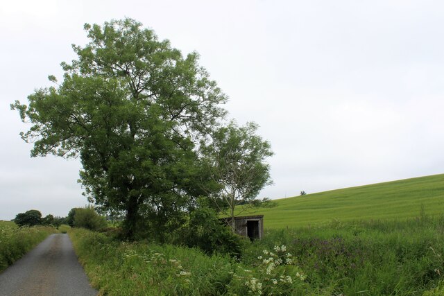
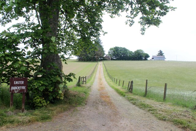
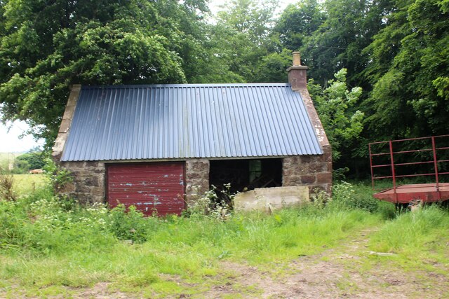
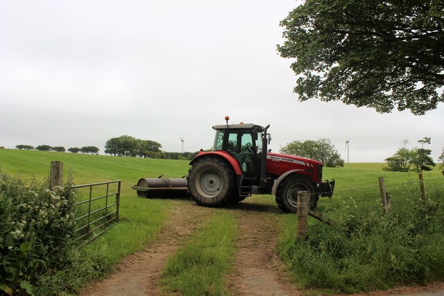
Hill of Barnyards Images

Images are sourced within 2km of 57.560361/-2.4007312 or Grid Reference NJ7652. Thanks to Geograph Open Source API. All images are credited.

Delgaty from the Woodland Delgaty Castle glimpsed from its woodland to the east.
Delgaty from the Woodland
Delgaty Castle glimpsed from its woodland to the east.
Delgaty Woodland A path through woodland by Delgaty.
Delgaty Woodland
A path through woodland by Delgaty.
Path to South A path through a wood break leading south in Delgaty Wood.
Path to South
A path through a wood break leading south in Delgaty Wood.
Side Path at Delgaty A narrow path through the Wood of Delgaty.
Side Path at Delgaty
A narrow path through the Wood of Delgaty.
South Through Delgaty Wood A path leading south through Delgaty Wood from an entrance by Muiryfold.
South Through Delgaty Wood
A path leading south through Delgaty Wood from an entrance by Muiryfold.
Upper Lambtech A croft by Delgaty with the wood of Delgaty behind.
Upper Lambtech
A croft by Delgaty with the wood of Delgaty behind.
Field Boundary by Muiryfold Burn The Burn of Muiryfold divides two fields with the Barnyards of Delgaty behind.
Field Boundary by Muiryfold Burn
The Burn of Muiryfold divides two fields with the Barnyards of Delgaty behind.
Muiryfold Silo A view across a grain crop of the silo and southern half of Muiryfold Farm Steading.
Muiryfold Silo
A view across a grain crop of the silo and southern half of Muiryfold Farm Steading.
Unclassified  Road near Muiryfold An unclassified single track country road leading down from Delgaty Woods behind towards Muiryfold.
Unclassified Road near Muiryfold
An unclassified single track country road leading down from Delgaty Woods behind towards Muiryfold.
Pump House and Tree A pump house by Muiryfold Burn, presumably supplying fresh water from springs to the nearby cottage and farm.
Pump House and Tree
A pump house by Muiryfold Burn, presumably supplying fresh water from springs to the nearby cottage and farm.
Easter Badentyre The access road leading uphill to Easter Badentyre Farm.
Easter Badentyre
The access road leading uphill to Easter Badentyre Farm.
New Roof Old Building A new roof has been installed on an old farm building at Wester Badentyre.
New Roof Old Building
A new roof has been installed on an old farm building at Wester Badentyre.
Just Park the Roller Perhaps not what springs to mind from the title but this roller is indeed parked by Wester Badentyre.
Just Park the Roller
Perhaps not what springs to mind from the title but this roller is indeed parked by Wester Badentyre.
North from Badentyre The road leading north from Wester Badentyre towards the Hill of Brackens.
North from Badentyre
The road leading north from Wester Badentyre towards the Hill of Brackens.
Sheep by Cotburn Sheep grazing in fields by Upper Cotburn.
Sheep by Cotburn
Sheep grazing in fields by Upper Cotburn.
Roadside Excavation One to watch! Roadside excavations in preparation for some building work.
Roadside Excavation
One to watch! Roadside excavations in preparation for some building work.
Home Farm Large farm buildings at home Farm on the Delgatie Castle estate.
Home Farm
Large farm buildings at home Farm on the Delgatie Castle estate.
The George and Ann Thomson memorial fountain.
Show me another place!

Hill of Barnyards is located at Grid Ref: NJ7652 (Lat: 57.560361, Lng: -2.4007312)

Unitary Authority: Aberdeenshire

Police Authority: North East

What 3 Words

///checked.career.essay. Near Turriff, Aberdeenshire

Nearby Locations

Hill of Barnyards

Related Wikis

Delgatie Castle

Delgatie Castle is a castle near Turriff, in Aberdeenshire, Scotland. A castle has stood on the site of Delgatie Castle since the year 1030 AD, although...

Craigston Castle

Craigston Castle is a 17th-century country house located about 4 miles (6.4 kilometres) north-east of Turriff, Aberdeenshire, Scotland, and is an historic...

Idoch Castle

Idoch Castle was a 14th-century castle about 3 miles (4.8 km) east of Turriff, Aberdeenshire Scotland, near Idoch Water, a tributary of the River Deveron...

Gairnieston Castle

Gairnieston Castle or Garniston Castle was a medieval castle in Aberdeenshire, Scotland.No traces of it remain. == History == The castle was the seat of...

Turriff Cottage Hospital

Turriff Cottage Hospital is a community hospital in Turriff, Aberdeenshire, Scotland. It is managed by NHS Grampian. == History == The hospital was designed...

Plaidy railway station

Plaidy railway station was a railway station at Plaidy, Aberdeenshire, Scotland on the rural branchline to Macduff. It was opened in 1860 by the Banff...

Turriff

Turriff (from Scottish Gaelic Torraibh 'place of round hills') is a town and civil parish in Aberdeenshire in Scotland. It lies on the River Deveron,...

Garmond, Aberdeenshire

Garmond (Scottish Gaelic: Garbh Mhon(adh)) is a linear village in Monquhitter Parish which is located in Aberdeenshire, Scotland. It was founded c.1760...

Nearby Amenities

Located within 500m of 57.560361,-2.4007312
Power: pole
Lat/Long: 57.5609539/-2.4000299
Power: pole
Lat/Long: 57.5615438/-2.399421
Power: pole
Lat/Long: 57.5618546/-2.4005556
Power: pole
Lat/Long: 57.5621193/-2.401599
Power: pole
Lat/Long: 57.5623869/-2.4026263
Power: pole
Lat/Long: 57.5626515/-2.4036274
Power: pole
Lat/Long: 57.5625308/-2.4047157
Power: pole
Lat/Long: 57.5624127/-2.4058168
Power: pole
Lat/Long: 57.5622911/-2.4069358
Power: pole
Lat/Long: 57.562163/-2.4081013
Power: pole
Lat/Long: 57.5638903/-2.3969977
Power: pole
Lat/Long: 57.5633062/-2.3976173
Power: pole
Lat/Long: 57.5627214/-2.3982288
Power: pole
Lat/Long: 57.5621308/-2.3988202
The data included in this document is from www.openstreetmap.org. The data is made available under ODbL.

Have you been to Hill of Barnyards?

Leave your review of Hill of Barnyards below (or comments, questions and feedback).