Abberley Hill
Hill, Mountain in Worcestershire Malvern Hills
England
Abberley Hill
Abberley Hill is a prominent landmark located in the county of Worcestershire, England. It is part of the Malvern Hills range, which stretches across the border of Worcestershire and Herefordshire. Rising to an elevation of 285 meters (935 feet), Abberley Hill offers breathtaking panoramic views of the surrounding countryside.
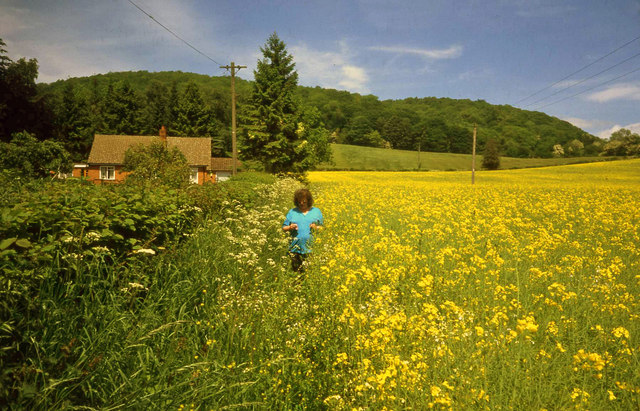
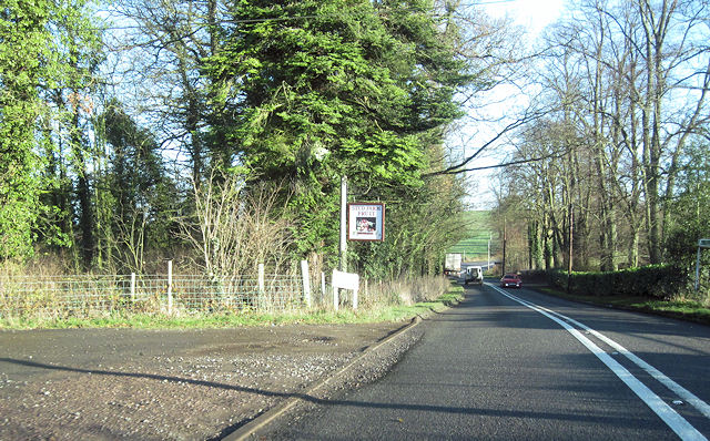
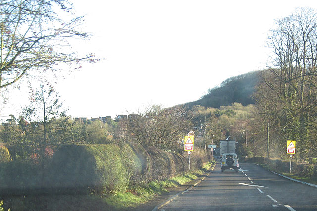
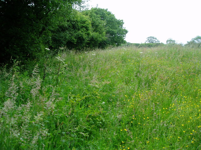
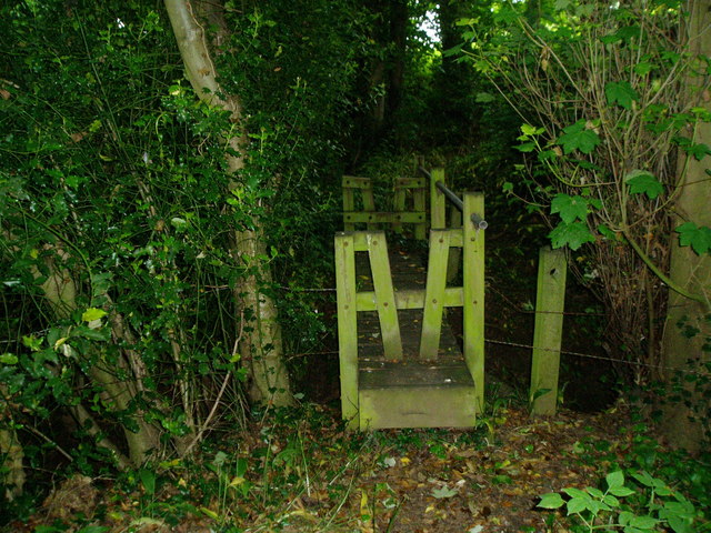
This hill is easily accessible and attracts visitors from near and far due to its natural beauty and historical significance. It is a popular destination for hikers, nature enthusiasts, and photographers alike. The hill is covered in lush green vegetation, including a variety of trees and wildflowers, making it a haven for local wildlife.
At the summit of Abberley Hill, there is a trig point, which serves as a marker for surveying purposes. From this vantage point, visitors can admire the stunning vistas that stretch across the Worcestershire countryside, with the Malvern Hills visible in the distance.
Abberley Hill also holds historical significance. At its base, there is the picturesque village of Abberley, known for its charming cottages and St. Michael's Church, which dates back to the 12th century. The hill has been a site of human activity for centuries, with evidence of Iron Age settlements and Roman occupation in the vicinity.
Overall, Abberley Hill is a captivating natural landmark that combines stunning views, rich biodiversity, and a touch of history. It is an ideal destination for those seeking a peaceful escape in the heart of Worcestershire.
If you have any feedback on the listing, please let us know in the comments section below.
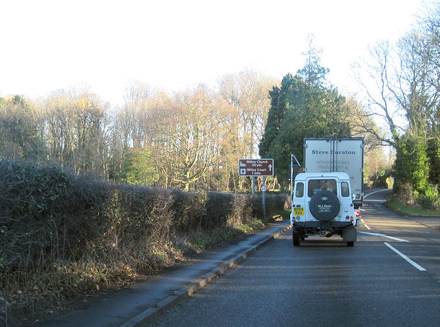
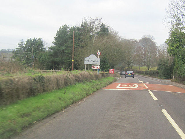
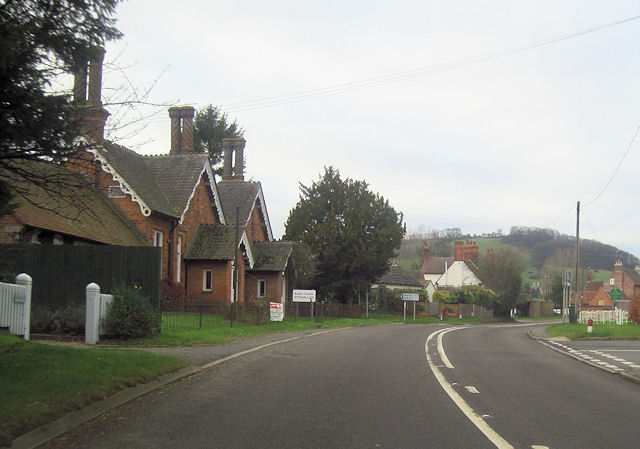
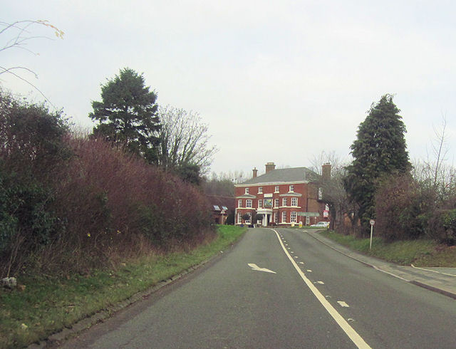
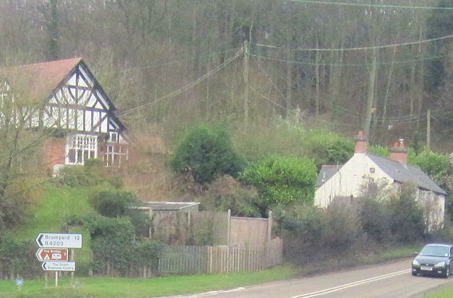
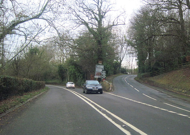
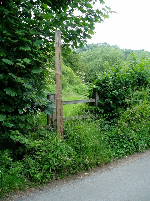
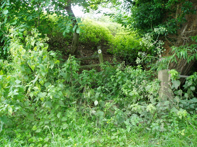
Abberley Hill Images
Images are sourced within 2km of 52.302597/-2.3654123 or Grid Reference SO7567. Thanks to Geograph Open Source API. All images are credited.
Abberley Hill is located at Grid Ref: SO7567 (Lat: 52.302597, Lng: -2.3654123)
Administrative County: Worcestershire
District: Malvern Hills
Police Authority: West Mercia
What 3 Words
///seatbelt.opposite.glitz. Near Stourport-on-Severn, Worcestershire
Nearby Locations
Related Wikis

Abberley
Abberley is a village and civil parish in north west Worcestershire, England. It is situated on the northern slopes of Abberley Hill, which is 283 metres...
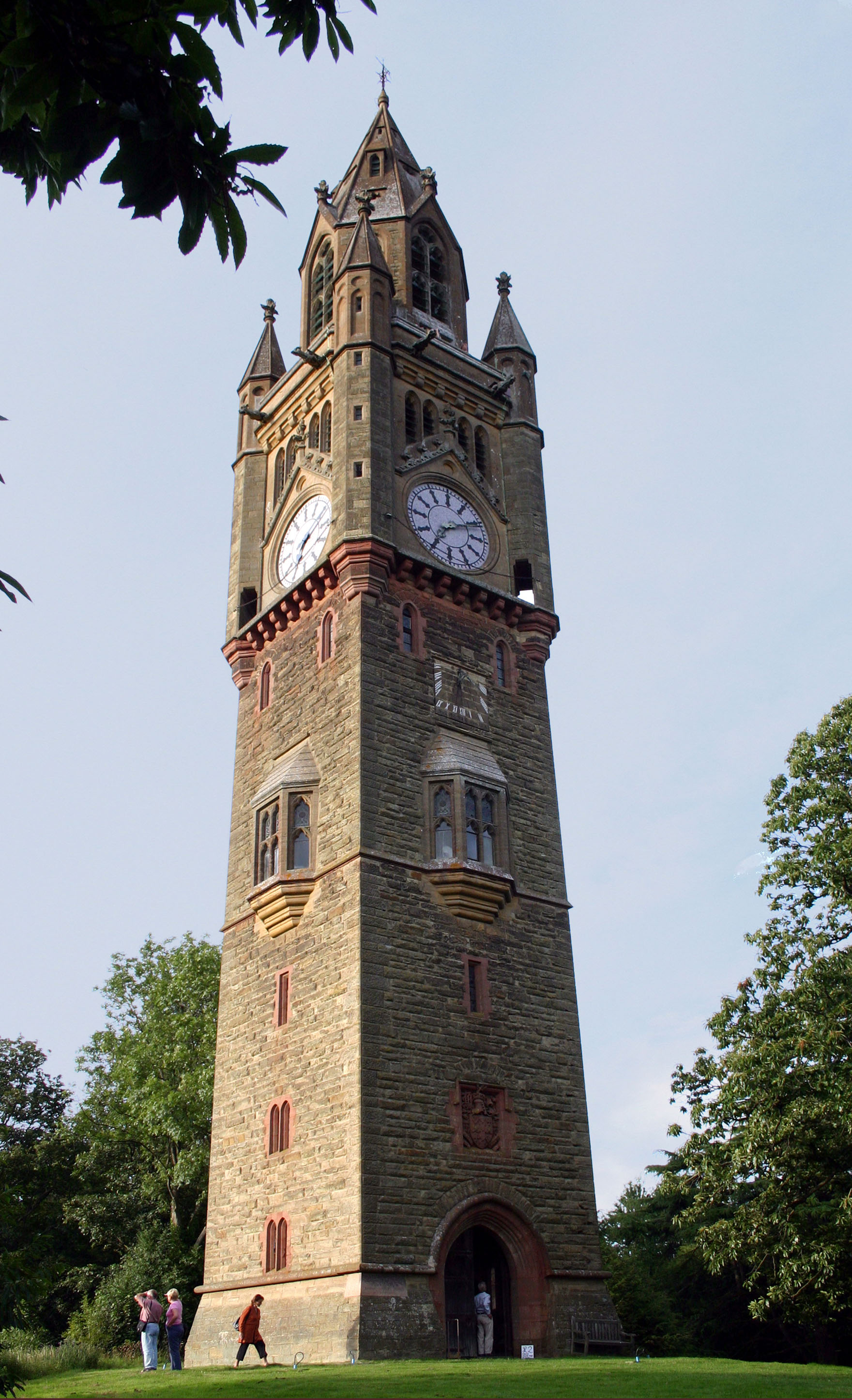
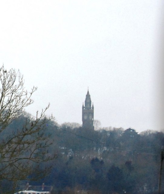
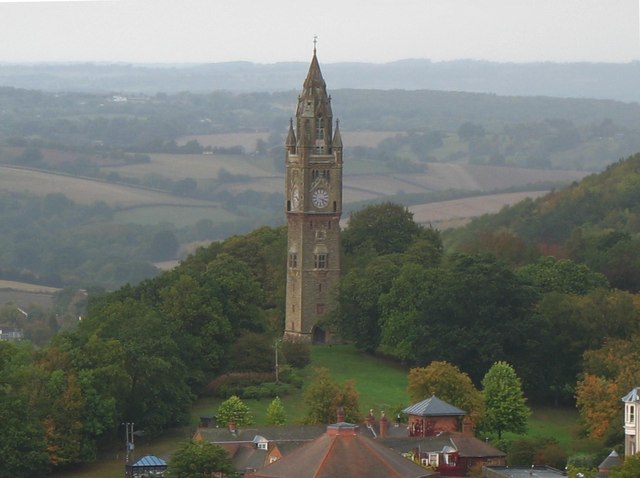
Abberley Clock Tower
Abberley Clock Tower is a prominent, distinctive clock tower in Abberley, Worcestershire, England. Built by James Piers St Aubyn around 1883 for Abberley...

Abberley Hall School
Abberley Hall School was a coeducational preparatory day and boarding school with about 160 pupils. It was located between Worcester and Tenbury, near...
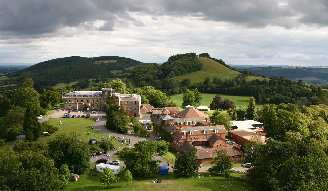
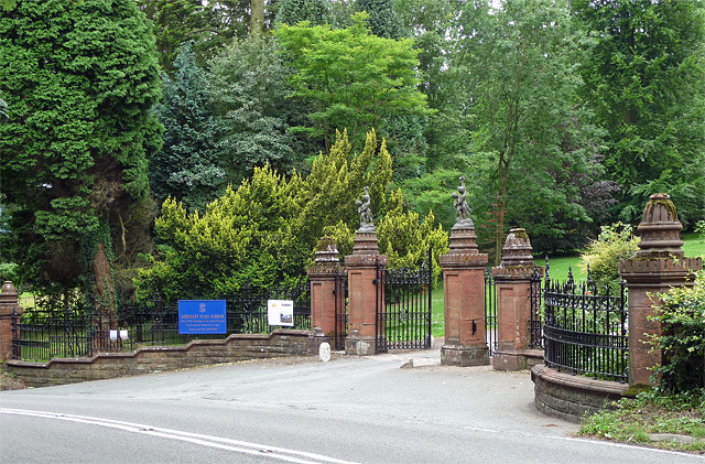
Abberley Hall
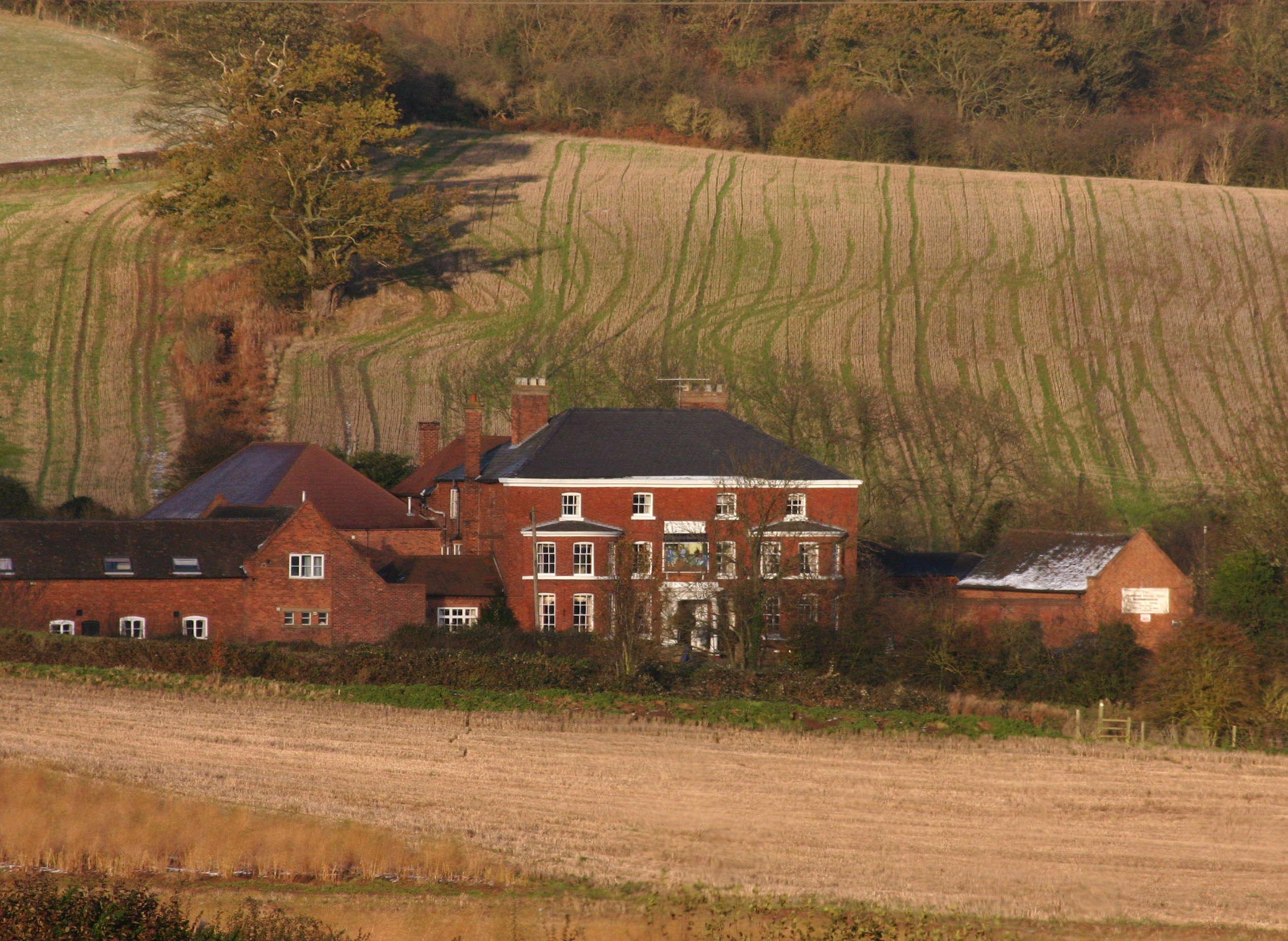
Abberley Hall is a country house in the north-west of the county of Worcestershire, England. The present Italianate house is the work of Samuel Daukes...
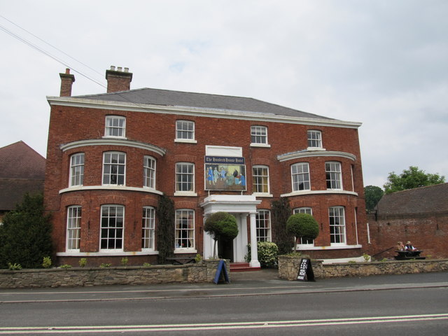
The Elms, Abberley
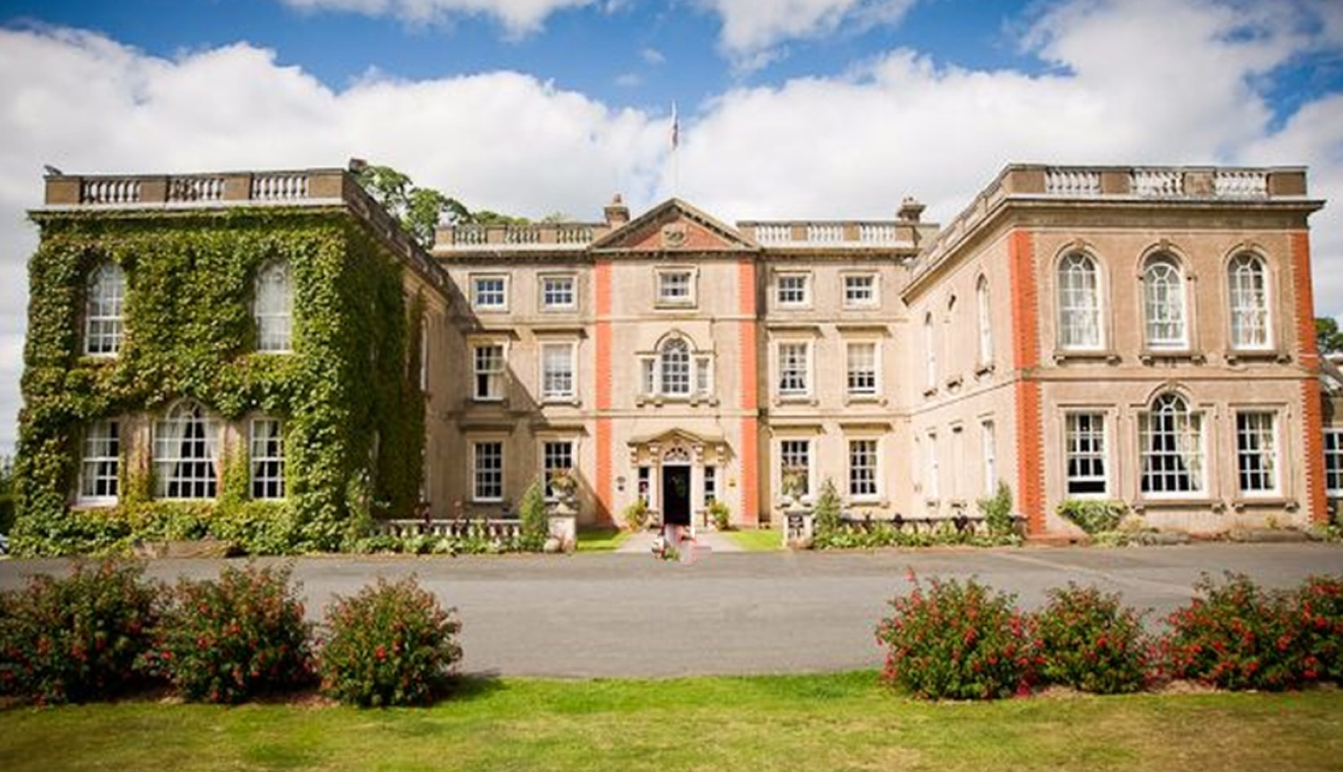
The Elms Hotel in Abberley, Worcestershire is a building of historical significance and is Grade II listed on the English Heritage Register. It was built...
Great Witley
Great Witley is a village and civil parish in the Malvern Hills District in the northwest of the county of Worcestershire, England. It is situated around...

Woodbury Hill
Woodbury Hill is a hill near the village of Great Witley, about 5 miles (8 km) south-west of Stourport-on-Severn in Worcestershire, England. It is the...
Astley Priory
Astley Priory was a Benedictine priory in Astley, Worcestershire, England.It was founded in the 11th century, probably by Ralph de Todeni, as a cell subject...
Related Videos

18 October 2023
Part 1 - What an amazing place to have a romantic weekend with your other half or a posh hen do or just a little escape.
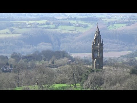
129: Abberley Hill and the Clock Tower (Worcestershire 2020)
WORCESTERSHIRE WALK FEATURING ABBERLEY HILL AND THE CLOCK TOWER "Abberley Hill and the Clock Tower” ...
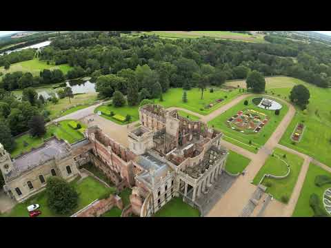
Witley Court and Gardens
For more information visit https://en.wikipedia.org/wiki/Witley_Court Music: "Vantan" by Silver Maple.
8 August 2018
Blue lagoon.
Nearby Amenities
Located within 500m of 52.302597,-2.3654123Have you been to Abberley Hill?
Leave your review of Abberley Hill below (or comments, questions and feedback).