Shannabank Hill

Hill, Mountain in Berwickshire

Scotland

Shannabank Hill

Nursery Plantation, Blakerstone Moor With an upland cereal crop.
Nursery Plantation, Blakerstone Moor Credit: M J Richardson

Shannabank Hill is a prominent geographical feature located in the region of Berwickshire, Scotland. Rising to an elevation of approximately 420 meters (1,378 feet), it is classified as a hill, rather than a mountain, due to its moderate height. The hill is situated within the picturesque landscape of the Scottish Borders, near the small village of Fogo.

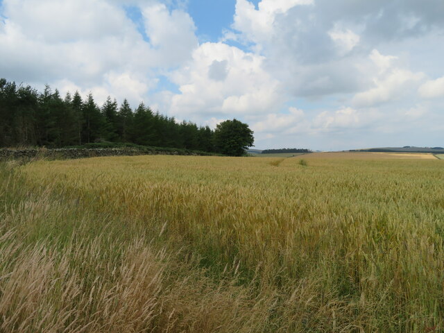
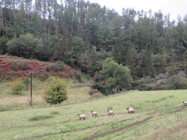
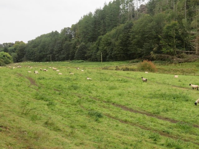
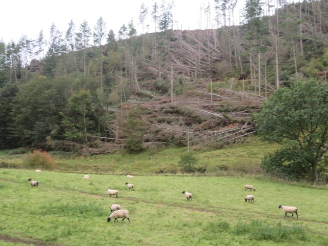
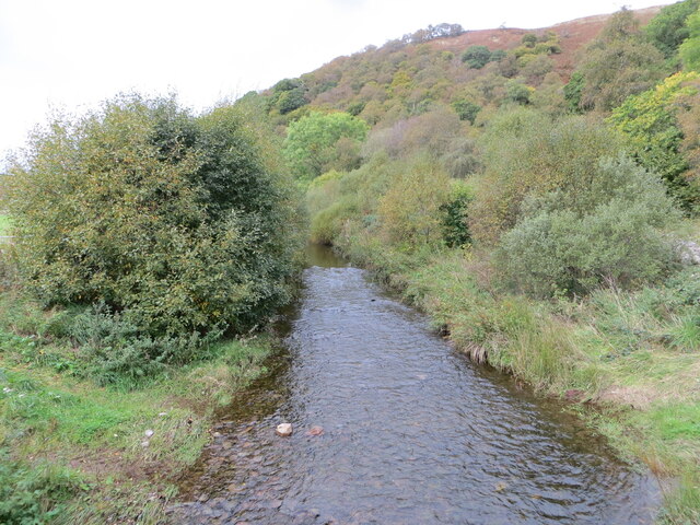
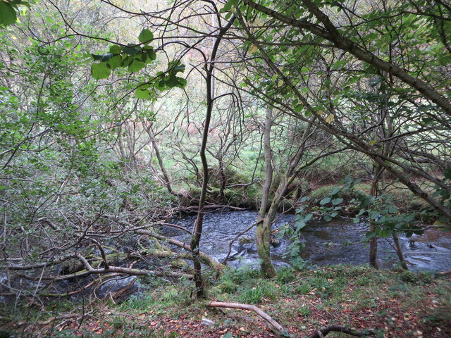
Shannabank Hill is characterized by its gently sloping terrain and is covered in a patchwork of grassy fields, heather, and scattered trees. The summit offers breathtaking panoramic views of the surrounding countryside, including the rolling hills of Berwickshire, the nearby Lammermuir Hills, and on a clear day, even glimpses of the North Sea.

This hill is a popular destination for outdoor enthusiasts, particularly hikers and nature lovers. It provides ample opportunities for leisurely walks and more challenging hikes, with various trails crisscrossing the area. The paths are well-maintained, allowing visitors to explore the diverse flora and fauna that call this hillside home.

Shannabank Hill also holds historical significance as it is believed to have been an important landmark during ancient times. Archaeological remains such as burial mounds and fortifications have been discovered in the vicinity, adding to its cultural value.

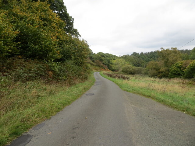
Access to Shannabank Hill is relatively easy, with nearby car parks and footpaths leading visitors to its summit. It is a cherished natural gem within the Berwickshire landscape, drawing visitors who seek tranquility, panoramic vistas, and a connection to the region's rich history.

If you have any feedback on the listing, please let us know in the comments section below.

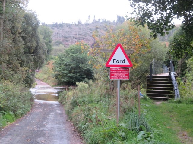
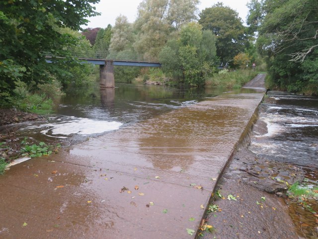
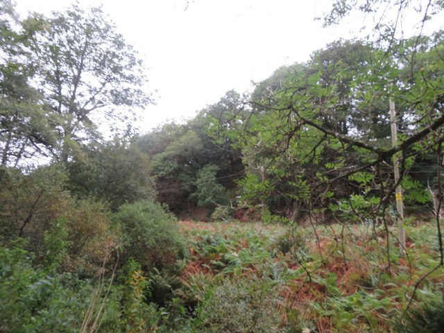
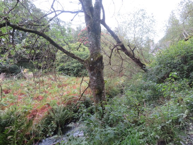
Shannabank Hill Images

Images are sourced within 2km of 55.859597/-2.398103 or Grid Reference NT7563. Thanks to Geograph Open Source API. All images are credited.

Nursery Plantation, Blakerstone Moor With an upland cereal crop.
Nursery Plantation, Blakerstone Moor
With an upland cereal crop.
Quixwood Moor Looking across a strangely barren field, with no sign of a recent crop, to sheep pasture and Moor Plantation.
Quixwood Moor
Looking across a strangely barren field, with no sign of a recent crop, to sheep pasture and Moor Plantation.
Sheep pasture near Abbey St Bathans By the Monynut Water, with Millbrae Wood beyond.
Sheep pasture near Abbey St Bathans
By the Monynut Water, with Millbrae Wood beyond.
Pasture by the Monynut Water With the Millbrae Wood conifer plantation across the river.
Pasture by the Monynut Water
With the Millbrae Wood conifer plantation across the river.
Windthrow in Millbrae Wood Storm damage by the Monynut Burn.
Windthrow in Millbrae Wood
Storm damage by the Monynut Burn.
Ford and footbridge at Abbey St Bathans Crossing the Otter Burn.
Ford and footbridge at Abbey St Bathans
Crossing the Otter Burn.
Ford at Abbey St Bathans With a footbridge, crossing the Otter Burn.
Ford at Abbey St Bathans
With a footbridge, crossing the Otter Burn.
The valley of the Whare Burn Dense vegetation in the valley and woodland on either side. Looking downstream.
The valley of the Whare Burn
Dense vegetation in the valley and woodland on either side. Looking downstream.
The valley of the Whare Burn Dense vegetation in the valley and woodland on either side. Looking upstream.
The valley of the Whare Burn
Dense vegetation in the valley and woodland on either side. Looking upstream.
Whiteburn Farm Weather Vane - Interpretation Board The interpretation board on the side of Whiteburn Airfield memorial cairn for the fancy weather vane on the top of the cairn.
Whiteburn Farm Weather Vane - Interpretation Board
The interpretation board on the side of Whiteburn Airfield memorial cairn for the fancy weather vane on the top of the cairn.
Whiteburn Farm Weather Vane Resourceful and respectful weather vane from the farm owners at Whiteburn near Abbey St. Bathans in the Borders. Explanation of each compass point is here:-
<a title="https://www.geograph.org.uk/photo/7655601" href="https://www.geograph.org.uk/photo/7655601">Link</a>
Whiteburn Farm Weather Vane
Resourceful and respectful weather vane from the farm owners at Whiteburn near Abbey St. Bathans in the Borders. Explanation of each compass point is here:- Link
Happy Grotesque Is it still a grotesque if it is smiling? - a grotesque is a carved animal or human attached to a building that is merely decorative and does not serve any other function.
A Gargoyle is carved animal or human attached to a building that acts as a water spout.
<span class="nowrap"><a title="https://grammarist.com/usage/gargoyle-or-grotesque/" rel="nofollow ugc noopener" href="https://grammarist.com/usage/gargoyle-or-grotesque/">Link</a><img style="margin-left:2px;" alt="External link" title="External link - shift click to open in new window" src="https://s1.geograph.org.uk/img/external.png" width="10" height="10"/></span>
On the side of a house just north of Abbey St Bathans on the Southern Upland Way.
Happy Grotesque
Is it still a grotesque if it is smiling? - a grotesque is a carved animal or human attached to a building that is merely decorative and does not serve any other function. A Gargoyle is carved animal or human attached to a building that acts as a water spout. LinkExternal link On the side of a house just north of Abbey St Bathans on the Southern Upland Way.
Ford in Flood Ford across the Whiteadder Water at Abbey St. Bathans with a tad more water flowing across than this picture taken in September:-
<a title="https://www.geograph.org.uk/photo/7612400" href="https://www.geograph.org.uk/photo/7612400">Link</a>
Ford in Flood
Ford across the Whiteadder Water at Abbey St. Bathans with a tad more water flowing across than this picture taken in September:- Link
Southern Upland Way Soggy conditions underfoot on the Southern Upland Way just north of Abbey St. Bathans in the Scottish Borders.
Southern Upland Way
Soggy conditions underfoot on the Southern Upland Way just north of Abbey St. Bathans in the Scottish Borders.
An arable field containing a much protected crop of turnips Looking north-westward.
An arable field containing a much protected crop of turnips
Looking north-westward.
Monynut Water viewed from Bushelhill Farm Bridge Looking north-westward upstream.
Monynut Water viewed from Bushelhill Farm Bridge
Looking north-westward upstream.
Monynut Water flowing between fields and wooded banks near Godscroft Looking southward.
Monynut Water flowing between fields and wooded banks near Godscroft
Looking southward.
Minor road following the course of Monynut Water down the valley Looking north-eastward from beside Hallbank Wood.
Minor road following the course of Monynut Water down the valley
Looking north-eastward from beside Hallbank Wood.
Show me another place!

Shannabank Hill is located at Grid Ref: NT7563 (Lat: 55.859597, Lng: -2.398103)

Unitary Authority: The Scottish Borders

Police Authority: The Lothians and Scottish Borders

What 3 Words

///plankton.title.hours. Near Duns, Scottish Borders

Related Wikis

Abbey St Bathans

Abbey St Bathans (Scottish Gaelic: Abaid Bhaoithin) is a parish in the Lammermuir district of Berwickshire, in the eastern part of the Scottish Borders...

Cockburn Tower

Cockburn Tower was a small fortified house in Berwickshire, Scotland. Now little more than the outline of a foundation, it occupied a site on the southern...

Dye Water

The Dye Water (Scottish Gaelic: Uisge DhĂ idh) is a river in the Lammermuir Hills in the Scottish Borders area of Scotland. It rises in the Hope Hills,...

Penmanshiel Tunnel

Penmanshiel Tunnel is a now-disused railway tunnel near Grantshouse, Berwickshire, in the Scottish Borders region of Scotland. It was formerly part of...

Nearby Amenities

Located within 500m of 55.859597,-2.398103
Shannabank Hill
Ele: 245
Natural: peak
Wikidata: Q116753101
Lat/Long: 55.8595681/-2.398231
Give Way
Lat/Long: 55.8600998/-2.4038899
Bankend
Place: isolated_dwelling
Wikidata: Q77770291
Lat/Long: 55.860611/-2.4037569
Strafontane Church (Site of)
Historic: archaeological_site
Lat/Long: 55.8588968/-2.4049267
Strafontane Mill
Place: isolated_dwelling
Lat/Long: 55.8594612/-2.402521
Power: pole
Lat/Long: 55.8551209/-2.3980184
Power: pole
Lat/Long: 55.8554477/-2.3990937
Power: pole
Lat/Long: 55.8557873/-2.4001665
Power: pole
Lat/Long: 55.8565806/-2.4021545
Power: pole
Lat/Long: 55.8571898/-2.4032959
Power: pole
Lat/Long: 55.8594455/-2.4038501
Power: pole
Lat/Long: 55.8599763/-2.4040178
Power: pole
Lat/Long: 55.8605156/-2.4041882
Power: pole
Lat/Long: 55.8610691/-2.4043763
Power: pole
Lat/Long: 55.861771/-2.4045847
The data included in this document is from www.openstreetmap.org. The data is made available under ODbL.

Have you been to Shannabank Hill?

Leave your review of Shannabank Hill below (or comments, questions and feedback).