Barrow Hill
Hill, Mountain in Somerset Mendip
England
Barrow Hill

Barrow Hill, located in Somerset, England, is a prominent hill that rises to an elevation of approximately 350 meters (1150 feet) above sea level. Situated in the Mendip Hills Area of Outstanding Natural Beauty, it offers breathtaking panoramic views of the surrounding countryside.
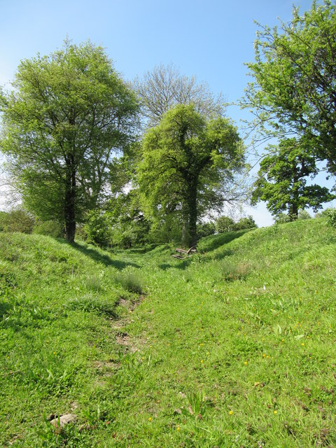
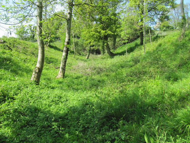
The hill is characterized by its distinctive conical shape, which is believed to have been formed during the last ice age when glacial deposits shaped its slopes. Covered in lush green vegetation, Barrow Hill supports a diverse range of flora and fauna, making it an important habitat for wildlife. Visitors to the area can expect to see various species of birds, butterflies, and small mammals.
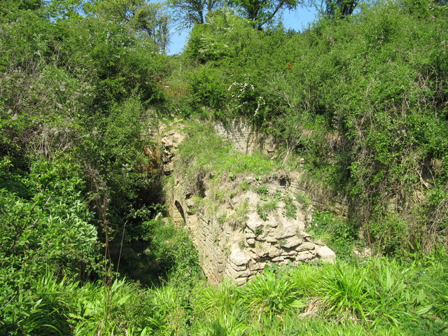
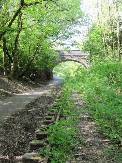
Barrow Hill has been a popular destination for nature enthusiasts and hikers for many years. It offers a network of well-maintained walking trails that cater to different skill levels, allowing visitors to explore the hill's natural beauty at their own pace. The paths wind through woodlands, open meadows, and heathland, providing opportunities to discover hidden gems like ancient burial mounds and archaeological sites.
Aside from its natural appeal, Barrow Hill holds historical significance. It is believed to have been an important landmark during ancient times, potentially serving as a meeting place or a site for ritual ceremonies. Its name, "Barrow Hill," hints at its association with burial mounds, indicating a connection to prehistoric burial practices.
Barrow Hill, Somerset, offers a tranquil and scenic environment for those seeking to escape the bustling city and immerse themselves in the beauty of the natural world. Whether it's a leisurely stroll or a more challenging hike, this hill promises a memorable experience for all who visit.
If you have any feedback on the listing, please let us know in the comments section below.
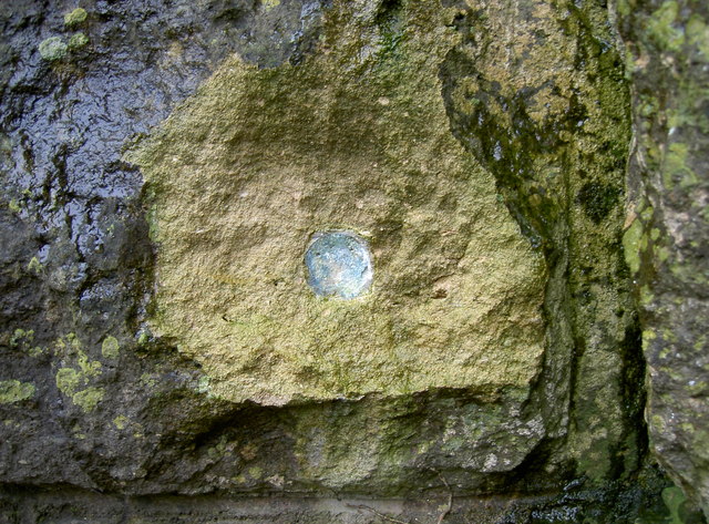
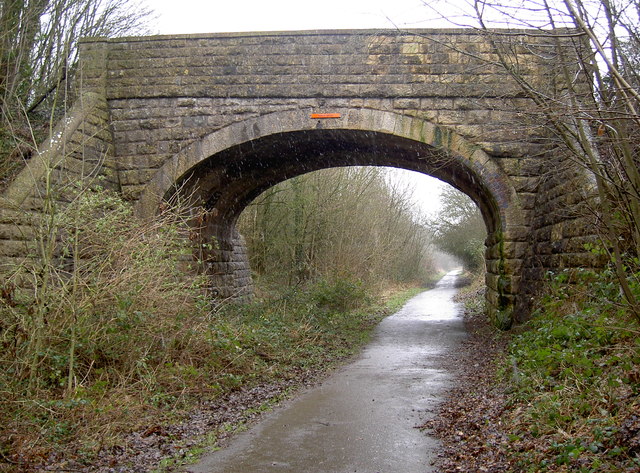
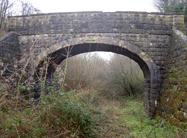
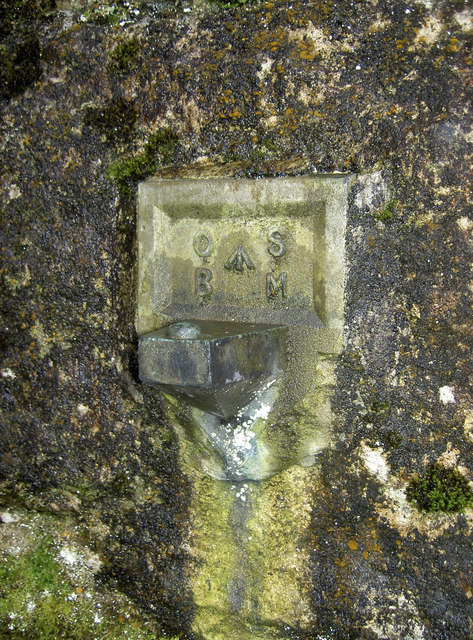
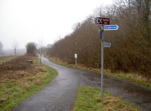
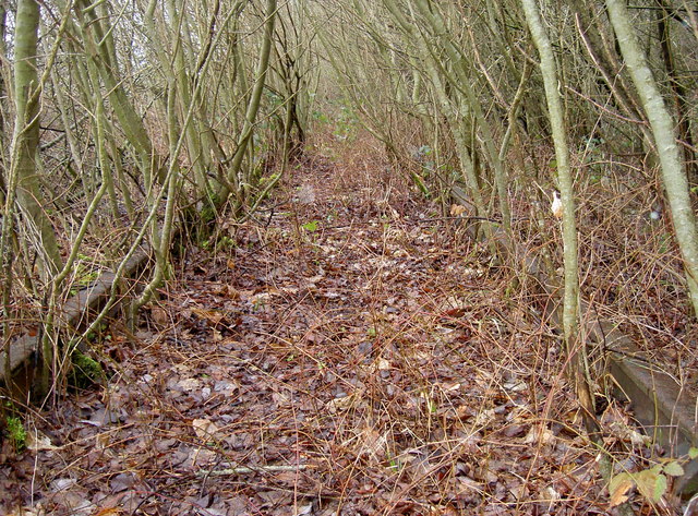
Barrow Hill Images
Images are sourced within 2km of 51.251343/-2.3650077 or Grid Reference ST7450. Thanks to Geograph Open Source API. All images are credited.


Barrow Hill is located at Grid Ref: ST7450 (Lat: 51.251343, Lng: -2.3650077)
Administrative County: Somerset
District: Mendip
Police Authority: Avon and Somerset
What 3 Words
///tensions.users.headsets. Near Frome, Somerset
Nearby Locations
Related Wikis

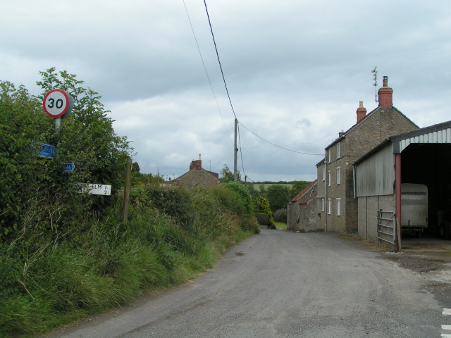
Great Elm
Great Elm is a village and civil parish between Mells and Frome in the Mendip district of Somerset, England. The parish includes the hamlet of Hapsford...

Tedbury Camp
Tedbury Camp is a multivallate Iron Age promontory hill fort defended by two parallel banks near Great Elm, Somerset, England. == Background == Hill forts...

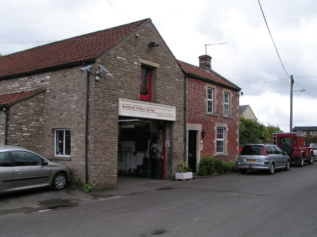
Buckland Dinham
Buckland Dinham is a small village near Frome in Somerset, England. The village has a population of 381. The village's main industry is farming (arable...

Wadbury Camp
Wadbury Camp is a promontory fort in Somerset, England that protected the mining district of the Mendip Hills in pre-Roman times. It seems to have been...

Vallis Vale
Vallis Vale (grid reference ST755490) is a 23.9 hectare biological and geological Site of Special Scientific Interest near Great Elm in Somerset, notified...

Murtry Aqueduct
Murtry Aqueduct is a three-arched aqueduct that was intended to carry the Dorset and Somerset Canal over the Mells River, near Frome in Somerset, England...

Old Iron Works, Mells
Old Iron Works, Mells (Fussells' Lower Works) (grid reference ST738488) is a 0.25 hectare biological Site of Special Scientific Interest, in the Wadbury...
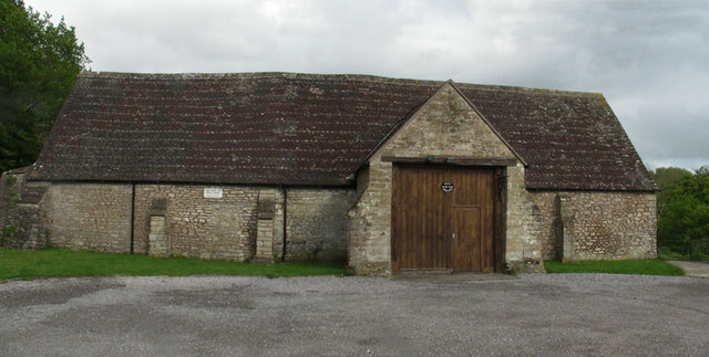
Mells Village Hall
Mells Village Hall in Mells, Somerset, England was built in the 14th century as a tithe barn and now serves as the village hall. It is a Grade II* listed...
Nearby Amenities
Located within 500m of 51.251343,-2.3650077Have you been to Barrow Hill?
Leave your review of Barrow Hill below (or comments, questions and feedback).