High Capon Edge

Hill, Mountain in Northumberland

England

High Capon Edge

Green Bothy A basic shelter maintained by volunteers of the Mountain Bothies Association with permission of the landowner.
Green Bothy Credit: Booga

High Capon Edge is a prominent hill located in Northumberland, England. Rising to an elevation of approximately 450 meters (1476 feet), it is one of the notable natural features in the area. The hill is part of the Cheviot Hills range, known for its stunning landscapes and unspoiled beauty.

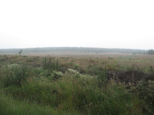
High Capon Edge offers breathtaking panoramic views of the surrounding countryside, making it a popular destination for hikers, nature enthusiasts, and photographers. On a clear day, visitors can enjoy vistas of rolling hills, picturesque valleys, and distant mountain ranges. The hill is also home to an abundance of wildlife, including various bird species, rabbits, and occasionally red deer.

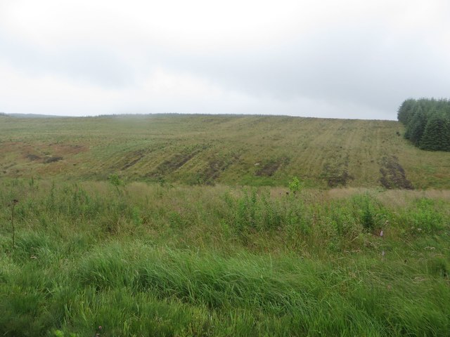
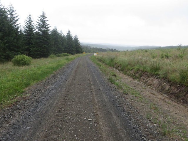
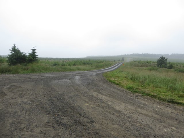
Covered in grass and heather, High Capon Edge is a haven for flora and fauna. The hillside is adorned with colorful wildflowers during the spring and summer months, creating a vibrant and picturesque scene. Additionally, the area is crisscrossed by several walking trails, providing ample opportunities for exploration and outdoor activities.

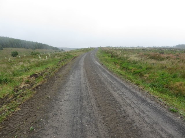
High Capon Edge is easily accessible by foot or car, with nearby parking available for visitors. Its location within the Northumberland National Park ensures that it remains unspoiled and largely untouched by human activity. As such, it offers a tranquil and serene environment for those seeking a peaceful retreat in the heart of nature.

If you have any feedback on the listing, please let us know in the comments section below.

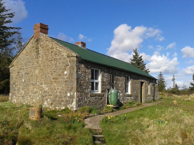
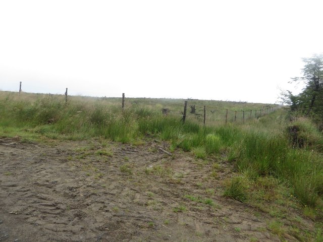
High Capon Edge Images

Images are sourced within 2km of 55.102662/-2.3990656 or Grid Reference NY7478. Thanks to Geograph Open Source API. All images are credited.

Green Bothy A basic shelter maintained by volunteers of the Mountain Bothies Association with permission of the landowner.
Green Bothy
A basic shelter maintained by volunteers of the Mountain Bothies Association with permission of the landowner.
Forest track on Watch Hill Looking along one of the labyrinth of forest tracks in Wark Forest. The plantation blocks on either side of the track have been felled and replanted.
Forest track on Watch Hill
Looking along one of the labyrinth of forest tracks in Wark Forest. The plantation blocks on either side of the track have been felled and replanted.
Boundary between blocks of Wark Forest The boundary between two of the blocks of the large Wark Forest is marked by a gap in the planting and a deer fence which is protecting the area on the left.
Boundary between blocks of Wark Forest
The boundary between two of the blocks of the large Wark Forest is marked by a gap in the planting and a deer fence which is protecting the area on the left.
Treeless area in Wark Forest Park of Wark Forest which is currently devoid of trees.
Treeless area in Wark Forest
Park of Wark Forest which is currently devoid of trees.
Forest track east of Watch Hill A forest track to the east of Watch Hill.
Forest track east of Watch Hill
A forest track to the east of Watch Hill.
Forest operations warning signs Signs either side of a forest track. The area ahead is being prepared in advance of a large block of the plantation being felled.
Forest operations warning signs
Signs either side of a forest track. The area ahead is being prepared in advance of a large block of the plantation being felled.
Track junction near Moneyrees Stell A junction of forestry tracks near Moneyrees Stell in Wark Forest.
Track junction near Moneyrees Stell
A junction of forestry tracks near Moneyrees Stell in Wark Forest.
Forest track near Moneyrees Stell A forest track passing Moneyrees Stell. The trees on the left of the photo are scheduled to be felled in the 2nd half of 2017 according to signs beside the track.
Forest track near Moneyrees Stell
A forest track passing Moneyrees Stell. The trees on the left of the photo are scheduled to be felled in the 2nd half of 2017 according to signs beside the track.
Forest track south of Green Looking along a forest track through Wark Forest, to the south of Green. The trees on the right of the photo are scheduled to be felled in the near future.
Forest track south of Green
Looking along a forest track through Wark Forest, to the south of Green. The trees on the right of the photo are scheduled to be felled in the near future.
Bothy at Green An isolated bothy amongst the innumerable trees of Wark Forest.
Bothy at Green
An isolated bothy amongst the innumerable trees of Wark Forest.
Track junction near Gowany Knowe A junction of forestry tracks to the south of Gowany Knowe. The track heads off across a relatively empty area of the forest.
Track junction near Gowany Knowe
A junction of forestry tracks to the south of Gowany Knowe. The track heads off across a relatively empty area of the forest.
Timber lorry in Wark Forest A loaded timber lorry travelling along one of the forest tracks in Wark Forest.
Timber lorry in Wark Forest
A loaded timber lorry travelling along one of the forest tracks in Wark Forest.
Cleared plantation around Whaup Sike A large cleared area of plantation in Wark Forest.
Cleared plantation around Whaup Sike
A large cleared area of plantation in Wark Forest.
Track junction, Wark Forest A track junction in Wark Forest. The divergent track leads to an area of the forest which has seen extensive clear felling in recent years.
Track junction, Wark Forest
A track junction in Wark Forest. The divergent track leads to an area of the forest which has seen extensive clear felling in recent years.
Collecting timber, Wark Forest A timber lorry arriving beside a large pile of cut logs before loading and leading them away for processing.
Collecting timber, Wark Forest
A timber lorry arriving beside a large pile of cut logs before loading and leading them away for processing.
Forest track at Blackaburn Lough The forestry commission track in Wark Forest that passes the large lake of Blackaburn Lough.
Forest track at Blackaburn Lough
The forestry commission track in Wark Forest that passes the large lake of Blackaburn Lough.
Skipjack lodge, Blackaburn Lough A wooden lodge on the shore of Blackaburn Lough in Wark Forest.
Skipjack lodge, Blackaburn Lough
A wooden lodge on the shore of Blackaburn Lough in Wark Forest.
Grassy forest track west of Blackaburn Lough A forest track within Wark Forest which still retains a grassy surface between a pair or wheel ruts.
Grassy forest track west of Blackaburn Lough
A forest track within Wark Forest which still retains a grassy surface between a pair or wheel ruts.
Show me another place!

High Capon Edge is located at Grid Ref: NY7478 (Lat: 55.102662, Lng: -2.3990656)

Unitary Authority: Northumberland

Police Authority: Northumbria

What 3 Words

///engraving.final.sands. Near Bellingham, Northumberland

Related Wikis

Wark Forest

Wark Forest is the southern part of Kielder Forest in Northumberland, England. Wark Forest is found within the south-west tip of Northumberland National...
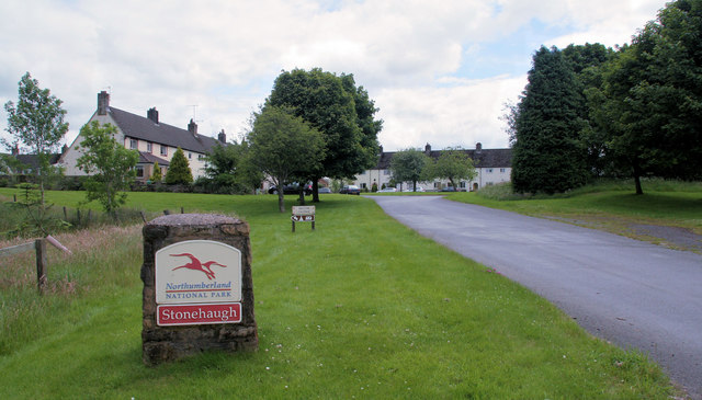
Stonehaugh

Stonehaugh is a small settlement in Northumberland about 5 miles (8 km) west of Wark on Tyne and 4 Roman miles (6 km) north of Hadrian's Wall. It was purpose...

Dally Castle

Dally Castle is a ruined 13th-century stone motte-and-bailey fortress in Northumberland, and one of the first hall houses in Northumberland. It lies 5...

Greystead

Greystead is a village and civil parish in Northumberland, England west of Bellingham. The population as of the 2011 census was less than 100. It shares...

Tarset railway station

Tarset railway station served the civil parish of Tarset, Northumberland, England from 1862 to 1958 on the Border Counties Railway. == History == The station...

Tarset Castle

Tarset Castle is a ruin near Tarset in Northumberland. == History == A licence to crenellate was granted to John Comyn in 1267, and the castle was built...

Thorneyburn railway station

Thorneyburn railway station served the village of Thorneyburn, Northumberland, England from 1861 to 1956 on the Border Counties Railway. == History... ==

Tarset

Tarset is a civil parish in Northumberland, England, created in 1955 from parts of Bellingham, Tarset West and Thorneyburn parishes. It is 4 miles (6 km...

Nearby Amenities

Located within 500m of 55.102662,-2.3990656
High Capon Edge
Place: locality
Lat/Long: 55.1021464/-2.3993494
The data included in this document is from www.openstreetmap.org. The data is made available under ODbL.

Have you been to High Capon Edge?

Leave your review of High Capon Edge below (or comments, questions and feedback).