Butt Hill
Hill, Mountain in Northumberland
England
Butt Hill
Butt Hill is a prominent geological feature located in Northumberland, England. Situated near the village of Rothbury, it is classified as a hill rather than a mountain due to its relatively modest height, reaching an elevation of approximately 305 meters (1,000 feet) above sea level.
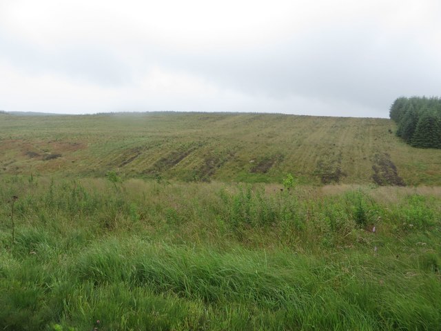
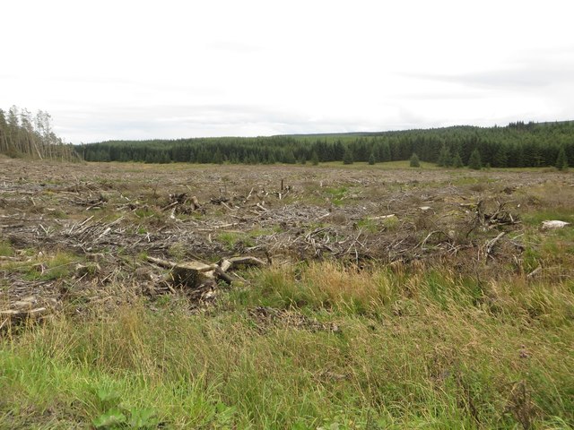
The hill is known for its distinctive rounded shape, which gives it the appearance of a perfectly formed dome. This unique topography is the result of glacial activity during the last Ice Age, when the moving ice sheets scoured the landscape and shaped the landforms. Butt Hill is one of the many glacial features found in the region, standing out due to its well-defined shape.
Covered in lush vegetation, the hill is primarily composed of sedimentary rocks, including sandstone and limestone. These rocks have been weathered over millions of years, resulting in the formation of a fertile soil that supports a diverse range of plant life. The hill is home to a variety of grasses, wildflowers, and shrubs, creating a vibrant and picturesque landscape.
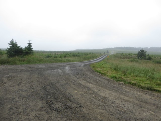
Besides its natural beauty, Butt Hill offers visitors stunning panoramic views of the surrounding countryside. From its summit, one can see the picturesque Coquet Valley, with the River Coquet meandering through the rolling hills and farmland. On clear days, it is possible to catch glimpses of the Cheviot Hills to the north and the Northumberland National Park to the south.
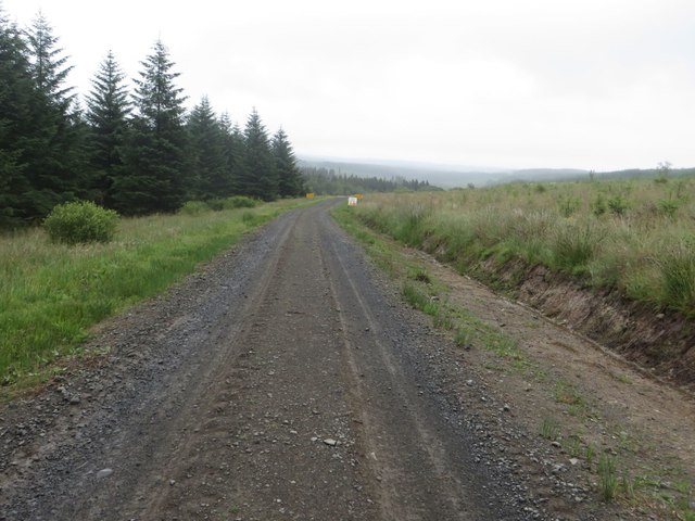
Given its accessibility and scenic views, Butt Hill is a popular destination for hikers, nature enthusiasts, and photographers seeking to immerse themselves in Northumberland's stunning natural beauty.
If you have any feedback on the listing, please let us know in the comments section below.
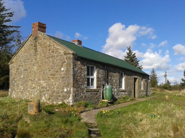
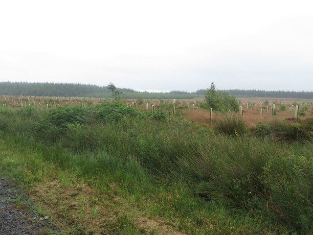
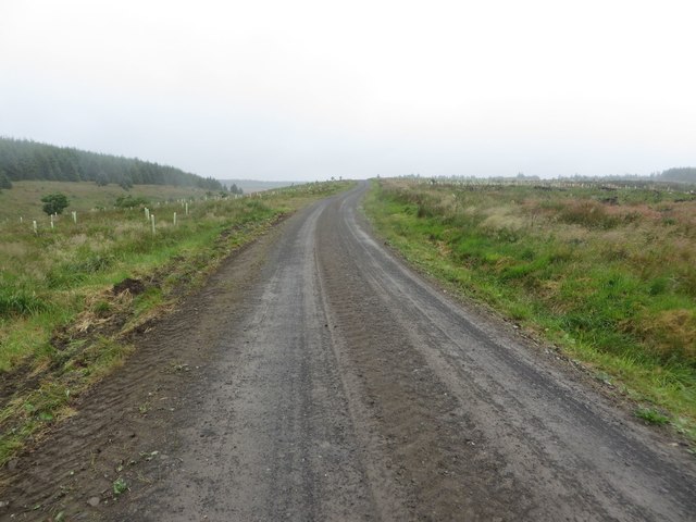
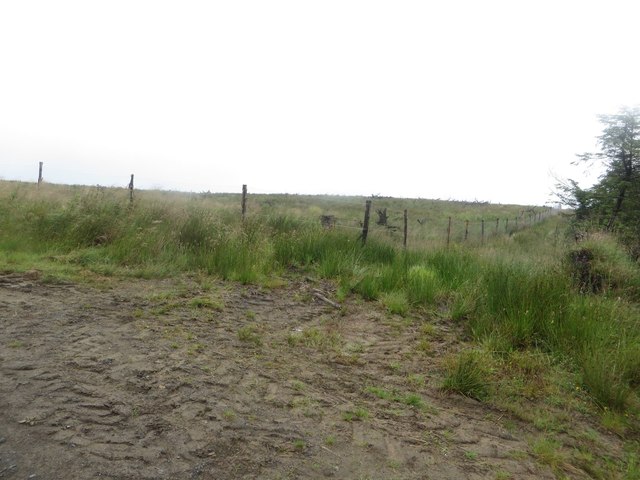
Butt Hill Images
Images are sourced within 2km of 55.091555/-2.3993309 or Grid Reference NY7477. Thanks to Geograph Open Source API. All images are credited.


Butt Hill is located at Grid Ref: NY7477 (Lat: 55.091555, Lng: -2.3993309)
Unitary Authority: Northumberland
Police Authority: Northumbria
What 3 Words
///retained.soggy.idea. Near Bellingham, Northumberland
Nearby Locations
Related Wikis

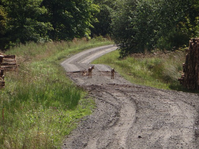
Wark Forest
Wark Forest is the southern part of Kielder Forest in Northumberland, England. Wark Forest is found within the south-west tip of Northumberland National...
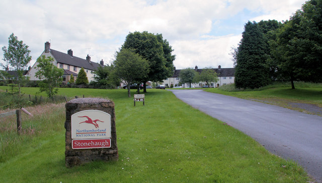
Stonehaugh
Stonehaugh is a small settlement in Northumberland about 5 miles (8 km) west of Wark on Tyne and 4 Roman miles (6 km) north of Hadrian's Wall. It was purpose...

Dally Castle
Dally Castle is a ruined 13th-century stone motte-and-bailey fortress in Northumberland, and one of the first hall houses in Northumberland. It lies 5...

Churnsike Lodge
Churnsike Lodge is an early Victorian hunting lodge situated in the parish of Greystead, West Northumberland, England. Constructed in 1850 by the Charlton...

Greystead
Greystead is a village and civil parish in Northumberland, England west of Bellingham. The population as of the 2011 census was less than 100. It shares...

Halleypike Lough
Halleypike Lough is an inland lake on Haughton Common at the southern edge of Northumberland National Park, northeast of Bardon Mill, and 1 mile (1.6 km...

The Goatstones
The Goatstones is a Bronze-Age four-poster stone circle located near Ravensheugh Crags in Northumberland, England. It is 2.5 miles (4.0 km) to the north...
Tarset railway station
Tarset railway station served the civil parish of Tarset, Northumberland, England from 1862 to 1958 on the Border Counties Railway. == History == The station...
Nearby Amenities
Located within 500m of 55.091555,-2.3993309Have you been to Butt Hill?
Leave your review of Butt Hill below (or comments, questions and feedback).