Brick Hill
Hill, Mountain in Dorset
England
Brick Hill
Brick Hill, located in Dorset, England, is a prominent hill/mountain that stands at an elevation of approximately 335 meters (1,099 feet). It is part of the Dorset Downs, a range of chalk hills that stretches across the county. The hill is situated near the village of Portesham, just a few miles west of Weymouth.
Brick Hill offers breathtaking panoramic views of the surrounding countryside and the English Channel. On a clear day, visitors can see as far as the Isle of Portland and the Jurassic Coastline, both of which are designated UNESCO World Heritage Sites. The hill is a popular destination for hikers, nature enthusiasts, and photographers due to its stunning vistas and diverse flora and fauna.
The terrain of Brick Hill is predominantly grassy with some scattered patches of woodland, providing a habitat for a variety of wildlife. The area is home to numerous bird species, including skylarks, yellowhammers, and buzzards, making it a prime location for birdwatching. The hill is also known for its wildflowers, with vibrant displays of bluebells, primroses, and cowslips during the spring months.
In addition to its natural beauty, Brick Hill has historical significance. The remains of ancient settlements and burial mounds have been discovered in the vicinity, dating back to the Iron Age and Roman periods. These archaeological finds contribute to the rich cultural heritage of the area.
Overall, Brick Hill in Dorset offers a picturesque and tranquil escape for those seeking to immerse themselves in nature and explore the region's history.
If you have any feedback on the listing, please let us know in the comments section below.
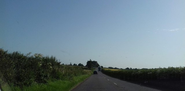
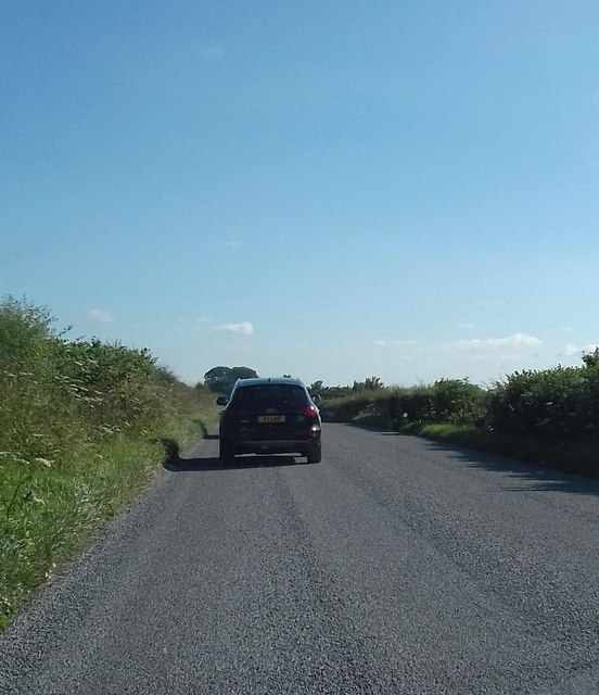
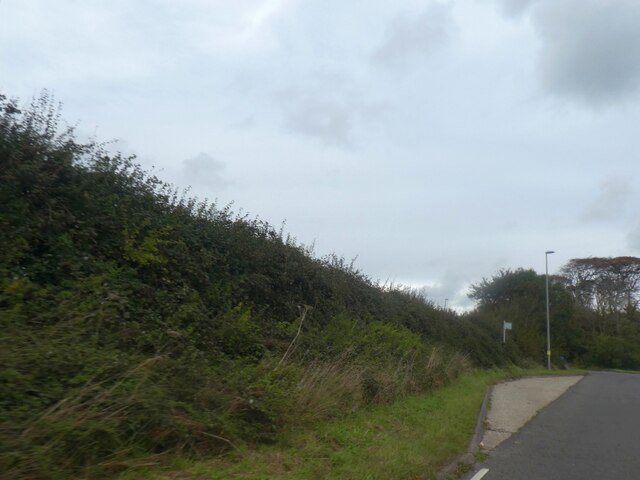
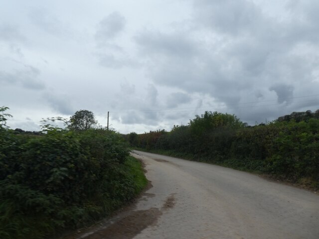
Brick Hill Images
Images are sourced within 2km of 50.670505/-2.3610194 or Grid Reference SY7485. Thanks to Geograph Open Source API. All images are credited.


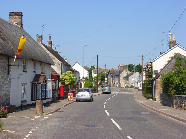
![Broadmayne houses [1] The Corner House has a small attached post office and shop. Built in the mid 18th century and altered in the 19th century. Constructed of rendered, painted stone under a thatch roof. The extension on the left of rubble stone originally had a tile roof, now thatch. Listed, grade II, with details at: <span class="nowrap"><a title="https://historicengland.org.uk/listing/the-list/list-entry/1304286" rel="nofollow ugc noopener" href="https://historicengland.org.uk/listing/the-list/list-entry/1304286">Link</a><img style="margin-left:2px;" alt="External link" title="External link - shift click to open in new window" src="https://s1.geograph.org.uk/img/external.png" width="10" height="10"/></span>
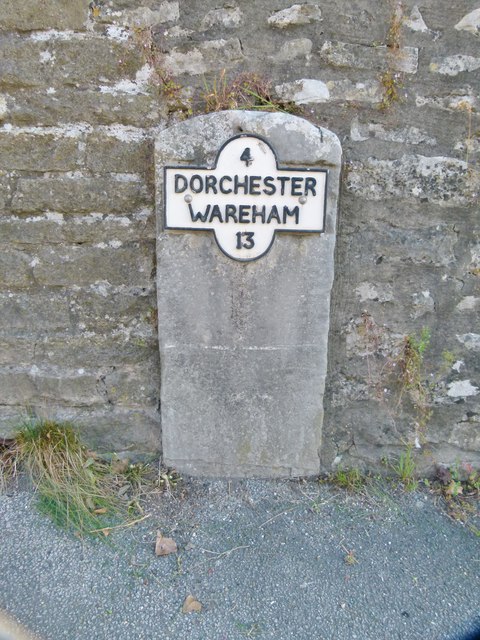
Broadmayne is a village in Dorset, some 3 miles southeast of Dorchester. The village is astride the A352 road from Dorchester to Wareham. There is evidence of settlement from the Stone Age onwards. In addition to agricultural activities, there was a brickworks to the north of the village. At the approach of D-Day in 1944, the area around the village was covered with Nissen huts and tents as assembly area D5 for the invasion.](https://s0.geograph.org.uk/geophotos/07/26/14/7261432_47a4753b.jpg)
![Broadmayne features [1] A delightful Jubilee cosy for the letterbox.
Broadmayne is a village in Dorset, some 3 miles southeast of Dorchester. The village is astride the A352 road from Dorchester to Wareham. There is evidence of settlement from the Stone Age onwards. In addition to agricultural activities, there was a brickworks to the north of the village. At the approach of D-Day in 1944, the area around the village was covered with Nissen huts and tents as assembly area D5 for the invasion.](https://s1.geograph.org.uk/geophotos/07/26/14/7261433_f3bf5353.jpg)
![Broadmayne features [2] An information board about the history of the village.
Broadmayne is a village in Dorset, some 3 miles southeast of Dorchester. The village is astride the A352 road from Dorchester to Wareham. There is evidence of settlement from the Stone Age onwards. In addition to agricultural activities, there was a brickworks to the north of the village. At the approach of D-Day in 1944, the area around the village was covered with Nissen huts and tents as assembly area D5 for the invasion.](https://s3.geograph.org.uk/geophotos/07/26/14/7261435_dc6c6402.jpg)
![Broadmayne features [3] At the junction of Chalky Road and Cowleaze Road stands this memorial to the men of the U S Army who passed through Broadmayne on their way to the landings in Normandy. See also <a href="https://www.geograph.org.uk/photo/7261439">SY7286 : Broadmayne features [4]</a>.
Broadmayne is a village in Dorset, some 3 miles southeast of Dorchester. The village is astride the A352 road from Dorchester to Wareham. There is evidence of settlement from the Stone Age onwards. In addition to agricultural activities, there was a brickworks to the north of the village. At the approach of D-Day in 1944, the area around the village was covered with Nissen huts and tents as assembly area D5 for the invasion.](https://s2.geograph.org.uk/geophotos/07/26/14/7261438_461ac404.jpg)
![Broadmayne features [4] At the junction of Chalky Road and Cowleaze Road stands a memorial to the men of the U S Army who passed through Broadmayne on their way to the landings in Normandy. See also <a href="https://www.geograph.org.uk/photo/7261438">SY7286 : Broadmayne features [3]</a>.
Broadmayne is a village in Dorset, some 3 miles southeast of Dorchester. The village is astride the A352 road from Dorchester to Wareham. There is evidence of settlement from the Stone Age onwards. In addition to agricultural activities, there was a brickworks to the north of the village. At the approach of D-Day in 1944, the area around the village was covered with Nissen huts and tents as assembly area D5 for the invasion.](https://s3.geograph.org.uk/geophotos/07/26/14/7261439_d6e79740.jpg)
![Broadmayne buildings [1] Broadmayne Methodist church, Main Street, was built as a Wesleyan chapel in 1865. Constructed of coursed rubble stone with rick dressings and quoins under a slate roof.
Broadmayne is a village in Dorset, some 3 miles southeast of Dorchester. The village is astride the A352 road from Dorchester to Wareham. There is evidence of settlement from the Stone Age onwards. In addition to agricultural activities, there was a brickworks to the north of the village. At the approach of D-Day in 1944, the area around the village was covered with Nissen huts and tents as assembly area D5 for the invasion.](https://s1.geograph.org.uk/geophotos/07/26/14/7261445_0c1d63cb.jpg)
![Broadmayne houses [2] Number 11 Main Street is a late 17th century cottage with alterations in the 18th and 20th centuries. Constructed of coursed rubble stone under a thatch roof. Many original internal features remain. Listed, grade II, with details at: <span class="nowrap"><a title="https://historicengland.org.uk/listing/the-list/list-entry/1119260" rel="nofollow ugc noopener" href="https://historicengland.org.uk/listing/the-list/list-entry/1119260">Link</a><img style="margin-left:2px;" alt="External link" title="External link - shift click to open in new window" src="https://s1.geograph.org.uk/img/external.png" width="10" height="10"/></span>
Broadmayne is a village in Dorset, some 3 miles southeast of Dorchester. The village is astride the A352 road from Dorchester to Wareham. There is evidence of settlement from the Stone Age onwards. In addition to agricultural activities, there was a brickworks to the north of the village. At the approach of D-Day in 1944, the area around the village was covered with Nissen huts and tents as assembly area D5 for the invasion.](https://s3.geograph.org.uk/geophotos/07/26/14/7261447_8aedd6ec.jpg)
Brick Hill is located at Grid Ref: SY7485 (Lat: 50.670505, Lng: -2.3610194)
Unitary Authority: Dorset
Police Authority: Dorset
What 3 Words
///index.failed.pickup. Near Overcombe, Dorset
Nearby Locations
Related Wikis

Poxwell
Poxwell (; sometimes written Pokeswell) is a hamlet and civil parish in the county of Dorset in southwest England. It is located 6 miles (9.7 km) east...

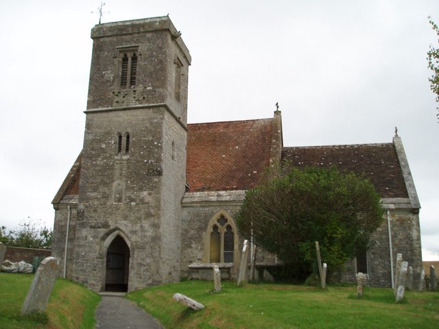
St John's Church, Poxwell
St John's Church was a Church of England church in Poxwell, Dorset, England. It was built in 1867–68 as a replacement to an earlier church and was demolished...
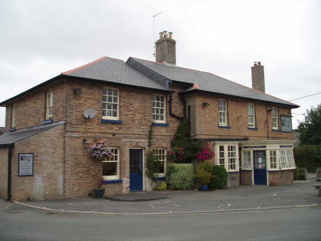
Broadmayne
Broadmayne is a village in the English county of Dorset. It lies two miles south-east of the county town Dorchester. The A352 main road between Dorchester...

Mayne Preceptory
Mayne Preceptory was a medieval house of Knights Hospitaller in Dorset, England, which caused the name of the settlement to change from Domesday-era Maine...

Owermoigne
Owermoigne ( OH-ər-MOYN) is a village and civil parish in the county of Dorset in southern England, situated 6 miles (9.7 km) south-east of Dorchester...

West Knighton, Dorset
West Knighton is a village and civil parish in Dorset, England, situated 3 miles (4.8 km) southeast of the county town Dorchester. It has an 11th-century...

Warmwell
Warmwell is a small village and civil parish in south west Dorset, England, situated on the B3390 road about 5 miles (8.0 km) southeast of Dorchester....

RAF Warmwell
Royal Air Force Warmwell or more simply RAF Warmwell is a former Royal Air Force station near Warmwell in Dorset, England from 1937 to 1946, located about...
Nearby Amenities
Located within 500m of 50.670505,-2.3610194Have you been to Brick Hill?
Leave your review of Brick Hill below (or comments, questions and feedback).