Gallows Knowe

Hill, Mountain in Berwickshire

Scotland

Gallows Knowe

Farm track near Polwarth
Farm track near Polwarth Credit: Steven Brown

Gallows Knowe is a prominent hill located in the picturesque region of Berwickshire in the Scottish Borders, United Kingdom. Rising to an elevation of approximately 376 meters (1,234 feet), it offers stunning panoramic views of the surrounding countryside.

Situated near the village of Reston, Gallows Knowe is a popular destination for hikers, nature enthusiasts, and those seeking tranquility amidst the rugged beauty of the Scottish landscape. The hill is characterized by its gently sloping grassy slopes, which make for a relatively easy ascent.

At the summit of Gallows Knowe, visitors are rewarded with breathtaking vistas of the rolling hills, verdant farmlands, and quaint villages that dot the Berwickshire countryside. On clear days, the panoramic view extends as far as the North Sea, providing a captivating backdrop to the stunning scenery.

The hill takes its name from its historical association with gallows, which were used for public executions in centuries past. However, the area is now far removed from its grim origins and instead offers a peaceful and serene atmosphere. The hill is home to a diverse range of flora and fauna, including wildflowers, birds, and small mammals, making it an ideal spot for nature enthusiasts to explore and appreciate the local biodiversity.

Whether one is seeking a leisurely stroll or a more challenging hike, Gallows Knowe offers a serene and picturesque setting that showcases the natural beauty of Berwickshire.

If you have any feedback on the listing, please let us know in the comments section below.

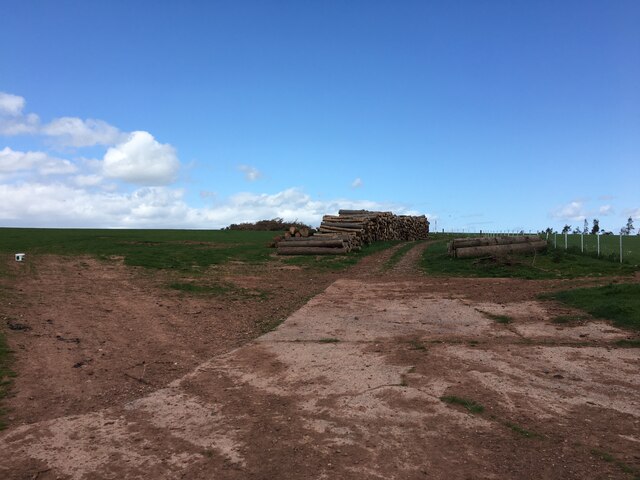
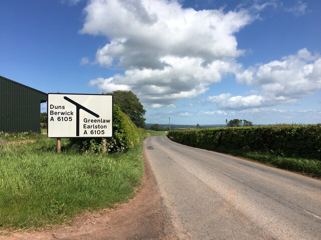
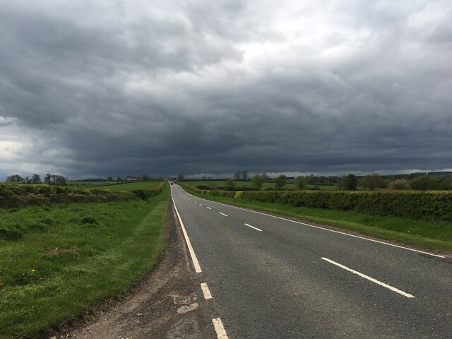
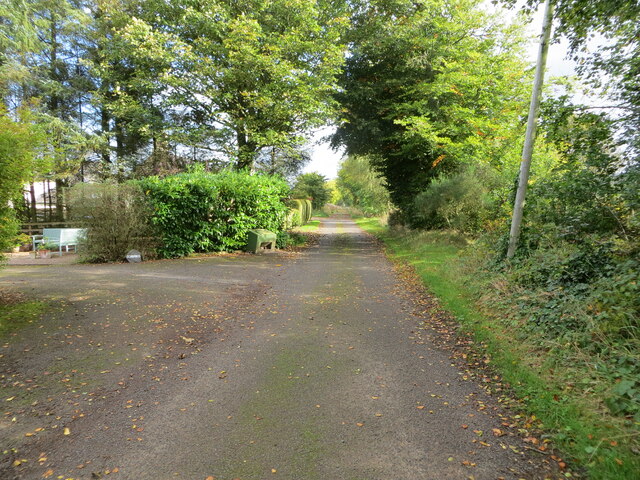
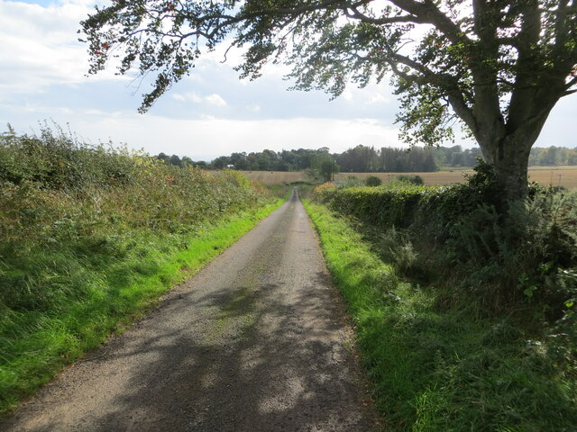
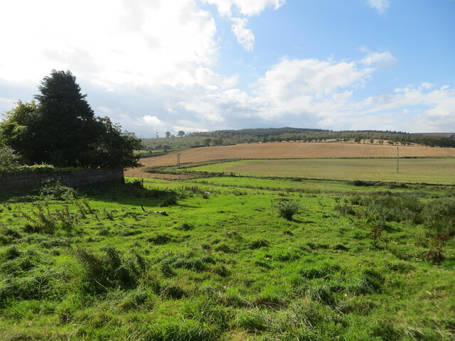
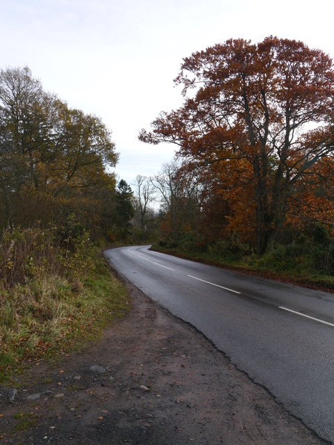
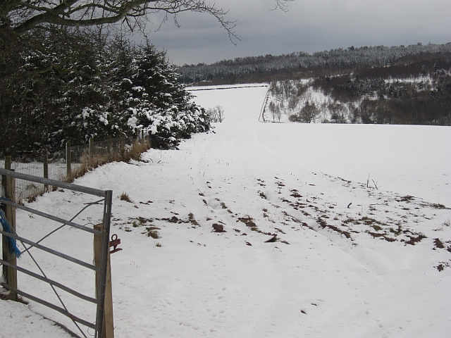
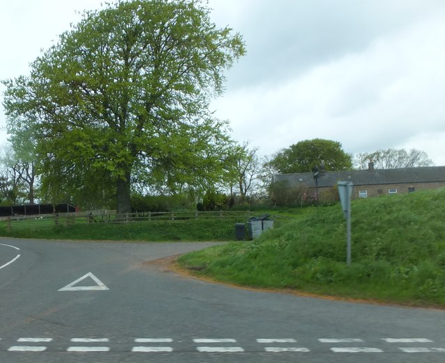
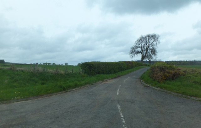
Gallows Knowe Images

Images are sourced within 2km of 55.758344/-2.4065512 or Grid Reference NT7451. Thanks to Geograph Open Source API. All images are credited.

Farm track near Polwarth
B6456 near its junction with the A6105
A6105 towards Duns
A6105 towards Duns
A6105 towards Greenlaw
Playing field, Gavinton Home of Duns AFC
Playing field, Gavinton
Home of Duns AFC
Distressed spruce, Gavinton A lot of trees are looking to be in trouble. Disease, or the result of a long hot and dry spell.
Distressed spruce, Gavinton
A lot of trees are looking to be in trouble. Disease, or the result of a long hot and dry spell.
End of the public road at Polwarth Rhodes Looking north-eastwards.
End of the public road at Polwarth Rhodes
Looking north-eastwards.
Hedge-lined minor road between Polwarth Mill and Polwarth Looking south-eastward.
Hedge-lined minor road between Polwarth Mill and Polwarth
Looking south-eastward.
Rough pasture and arable fields at Polwarth Mill Looking south-westward.
Rough pasture and arable fields at Polwarth Mill
Looking south-westward.
Langton Old Parish Church graveyard A church on this site on the Langton Estate was in a ruinous state in 1727 and part of it was made in to a vault by 1857. When a new church was built in nearby Gavinton in 1872 the inhabitants of Langton Village were moved to Gavinton. The graveyard in a woodland situation is very atmospheric with moss-covered stones, but winter is the best time for a visit as it will be very overgrown the summer months.
Langton Old Parish Church graveyard
A church on this site on the Langton Estate was in a ruinous state in 1727 and part of it was made in to a vault by 1857. When a new church was built in nearby Gavinton in 1872 the inhabitants of Langton Village were moved to Gavinton. The graveyard in a woodland situation is very atmospheric with moss-covered stones, but winter is the best time for a visit as it will be very overgrown the summer months.
A symbolic gravestone at Langton Old Parish Churchyard The inscription on the reverse of this portrait stone is as follows:

ADAM
GALLWAY
OF YEARS WAS
87 YET TO THIS
WORLD OF THEM
WAS DEAD 11
FEB 1683

HERE LYES ARCHI
BALD WATHER
STON WHO DIED
JUNE 2 1774 AG
ED 62 YEARS

For a wider view of the graveyard, see <a href="https://www.geograph.org.uk/photo/7702678">NT7652 : Langton Old Parish Church graveyard</a>.
A symbolic gravestone at Langton Old Parish Churchyard
The inscription on the reverse of this portrait stone is as follows: ADAM GALLWAY OF YEARS WAS 87 YET TO THIS WORLD OF THEM WAS DEAD 11 FEB 1683 HERE LYES ARCHI BALD WATHER STON WHO DIED JUNE 2 1774 AG ED 62 YEARS For a wider view of the graveyard, see NT7652 : Langton Old Parish Church graveyard.
B6456 The B6456 west of Choicelee.
B6456
The B6456 west of Choicelee.
Village sign, Gavinton The western end of the village.
Village sign, Gavinton
The western end of the village.
Woodland edge After a heavy snowfall. The snow was very wet.
Woodland edge
After a heavy snowfall. The snow was very wet.
Road junction for Choicelee Choicelee is alongside the A6105.  The name implies it's on good farming land, and indeed I find from old maps that there's been a farm here for at least two hundred years.
Road junction for Choicelee
Choicelee is alongside the A6105. The name implies it's on good farming land, and indeed I find from old maps that there's been a farm here for at least two hundred years.
Minor road from Polwarth Leading northward from Polwarth, joining the B6456 to Westruther near Polwarth Mill.  Comparing with <a href="https://www.geograph.org.uk/photo/840094">NT7450 : Country Road near Polwarth</a>, the only change in five years seems to be that the white line has worn away a bit!  The tree in my picture has a bit of catching-up to do in the next twelve days to look as verdant as it did on 10th June 2008 - this has been a very late spring: there's still some snow on The Cheviot.
Minor road from Polwarth
Leading northward from Polwarth, joining the B6456 to Westruther near Polwarth Mill. Comparing with NT7450 : Country Road near Polwarth, the only change in five years seems to be that the white line has worn away a bit! The tree in my picture has a bit of catching-up to do in the next twelve days to look as verdant as it did on 10th June 2008 - this has been a very late spring: there's still some snow on The Cheviot.
Track to Steel Plantation
Polwarth Rhodes Next year's crop is germinating while there is still a lot of ground yet to harvest near by.
Polwarth Rhodes
Next year's crop is germinating while there is still a lot of ground yet to harvest near by.
Show me another place!

Gallows Knowe is located at Grid Ref: NT7451 (Lat: 55.758344, Lng: -2.4065512)

Unitary Authority: The Scottish Borders

Police Authority: The Lothians and Scottish Borders

What 3 Words

///sedative.business.amid. Near Duns, Scottish Borders

Related Wikis

Polwarth, Scottish Borders

Polwarth (Scots: Polart) is a village and parish in the Scottish Borders area of Scotland. It is located at grid reference NT745502, between Greenlaw and...

Langton Castle

Langton Castle is a now destroyed medieval fortress at Langton, near the burgh of Duns, Berwickshire, Scotland. Little remains of the structure. ��2�...

Polwarth Castle

Polwarth Castle was a castle, located near Polwarth, Scottish Borders in Scotland. == History == Held by the Polwarth family it passed by marriage of Elizabeth...

Berwickshire, Roxburgh and Selkirk (UK Parliament constituency)

Berwickshire, Roxburgh and Selkirk is a constituency of the British House of Commons, located in the south of Scotland within the Scottish Borders council...

Nearby Amenities

Located within 500m of 55.758344,-2.4065512
Choicelee
Place: hamlet
Lat/Long: 55.754223/-2.4045997
Barrier: cattle_grid
Lat/Long: 55.7553432/-2.402196
Generator Method: photovoltaic
Generator Source: solar
Generator Type: solar_photovoltaic_panel
Power: generator
Lat/Long: 55.7558157/-2.401884
Power: pole
Lat/Long: 55.7546636/-2.403425
Power: pole
Lat/Long: 55.7551063/-2.4034228
Power: pole
Lat/Long: 55.7554722/-2.4031137
Power: pole
Lat/Long: 55.7556113/-2.4020798
Power: pole
Lat/Long: 55.7557205/-2.4027172
Power: pole
Lat/Long: 55.755874/-2.4037767
Power: pole
Lat/Long: 55.7555801/-2.404493
Power: pole
Lat/Long: 55.7543205/-2.4075351
Power: pole
Lat/Long: 55.7546588/-2.4067122
Power: pole
Lat/Long: 55.7549707/-2.4059703
Power: pole
Lat/Long: 55.7558704/-2.4001931
Power: pole
Lat/Long: 55.7557517/-2.4011397
The data included in this document is from www.openstreetmap.org. The data is made available under ODbL.

Have you been to Gallows Knowe?

Leave your review of Gallows Knowe below (or comments, questions and feedback).