Black Hill

Hill, Mountain in Dorset

England

Black Hill

St Martin's Church, Broadmayne
St Martin's Church, Broadmayne Credit: Chris Andrews

Black Hill is a prominent landmark located in the county of Dorset, England. Situated in the heart of the Dorset Area of Outstanding Natural Beauty, this hill is part of the larger Blackmore Vale region. It is approximately 277 meters (909 feet) above sea level, making it one of the notable elevations in the area.

The hill is composed of limestone and has a distinct conical shape, providing breathtaking panoramic views of the surrounding countryside. Its location makes it an ideal spot for outdoor enthusiasts and nature lovers who enjoy hiking and exploring the area. The hill is covered with lush green grass and scattered with wildflowers during the warmer months, creating a picturesque scene for visitors.

Black Hill is home to a diverse range of flora and fauna, including various species of birds, butterflies, and wild mammals. The surrounding area is abundant in wildlife, further enhancing the natural beauty of this hill. Additionally, the hill is intersected by several footpaths and trails, allowing visitors to easily navigate and experience the stunning landscape.

The hill holds historical significance as well, being part of the ancient Cerne Abbas Giant, a large chalk figure carved into the nearby hillside. This iconic landmark attracts tourists from all over the world, adding to the allure and intrigue of Black Hill.

Overall, Black Hill in Dorset offers a serene and captivating natural environment, making it a must-visit destination for those seeking tranquility and breathtaking views of the English countryside.

If you have any feedback on the listing, please let us know in the comments section below.
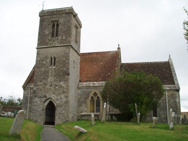
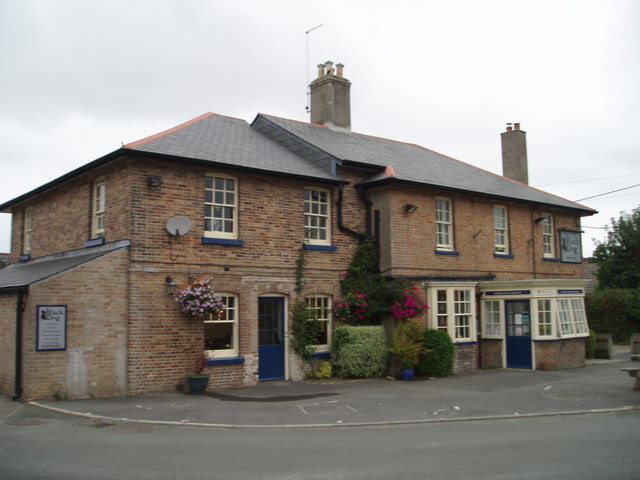
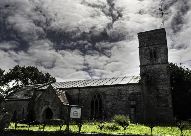
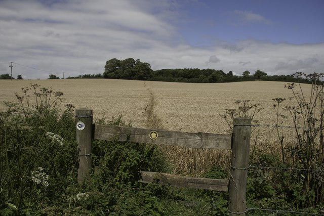
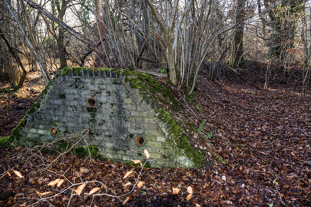
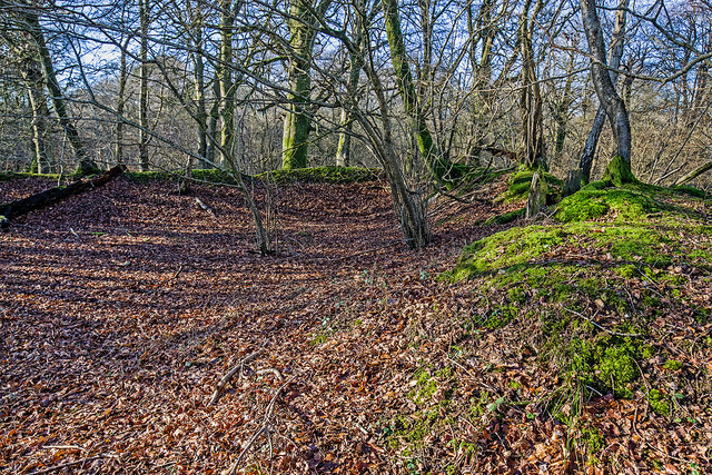
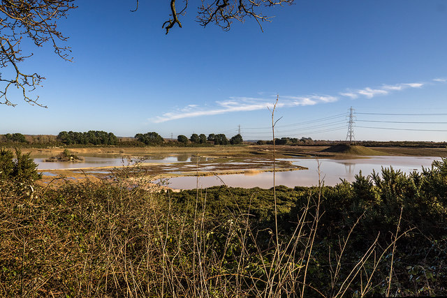
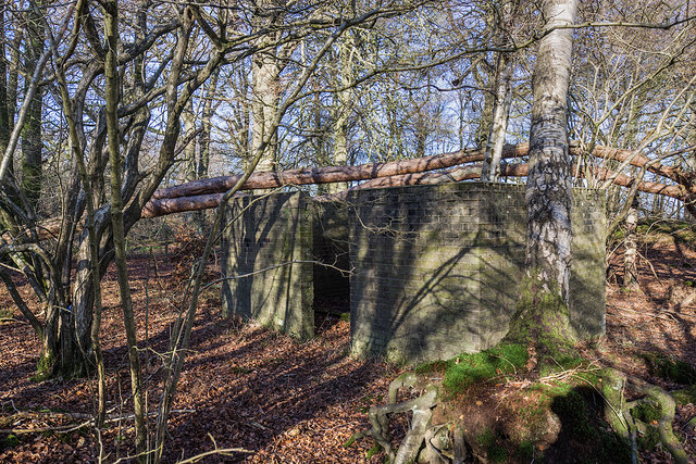
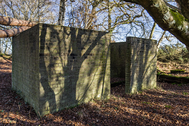
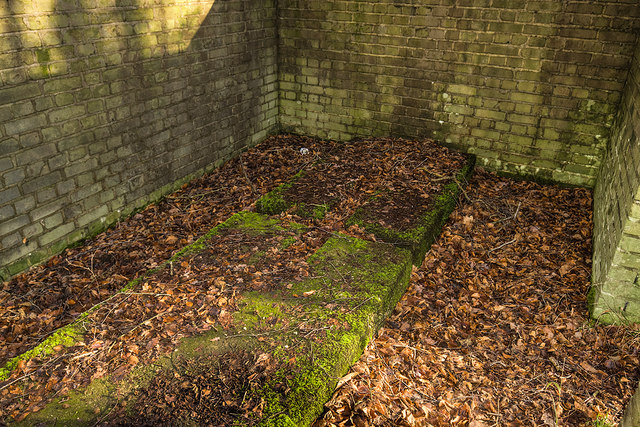
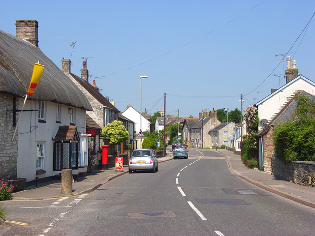
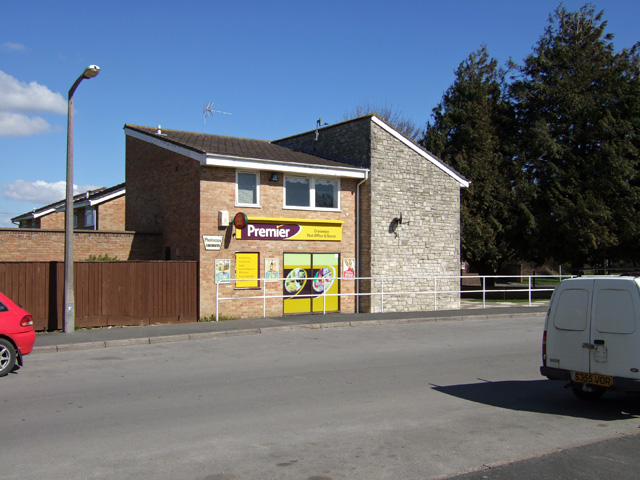
Black Hill Images

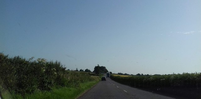
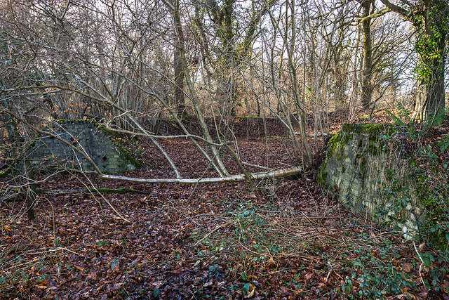
Images are sourced within 2km of 50.682461/-2.362286 or Grid Reference SY7487. Thanks to Geograph Open Source API. All images are credited.

St Martin's Church, Broadmayne
The Black Dog, Broadmayne
St Peter's Church, West Knighton Thomas Hardy was involved in the reconstruction of this church in the 19th Century.
St Peter's Church, West Knighton
Thomas Hardy was involved in the reconstruction of this church in the 19th Century.
Footpath near Lower Glebe Farm There is a junction in the footpaths here, a local footpath heading north towards West Stafford and the Jubilee Trail heading west.
Footpath near Lower Glebe Farm
There is a junction in the footpaths here, a local footpath heading north towards West Stafford and the Jubilee Trail heading west.
Old Milestone by the A352, Broadmayne Metal plate attached to stone post by the A352, in parish of Broadmayne (West Dorset District), by Broadmayne Church, set into wall at south end of lay-by by church, on North-east side of road. Dorset 3 and 4 (iron plated), erected by the Dorchester & Wool Turnpike Trust in the 19th century. 

Inscription reads:-
4
DORCHESTER
WAREHAM
13 

Milestone Society National ID: DO_DOWA04.
Old Milestone by the A352, Broadmayne
Metal plate attached to stone post by the A352, in parish of Broadmayne (West Dorset District), by Broadmayne Church, set into wall at south end of lay-by by church, on North-east side of road. Dorset 3 and 4 (iron plated), erected by the Dorchester & Wool Turnpike Trust in the 19th century. Inscription reads:- 4 DORCHESTER WAREHAM 13 Milestone Society National ID: DO_DOWA04.
Old Milestone by the A352,  Main Street, Broadmayne Metal plate attached to stone post by the A352, in parish of BROADMAYNE (WEST DORSET District), by Broadmayne Church, set into wall at south end of lay-by near church, on North side of road. Dorset 3 and 4 (iron plated), erected by the Dorchester & Wool turnpike trust in the 19th century. 

Inscription reads:-
4
DORCHESTER
WAREHAM
13

Milestone Society National ID: DO_DOWA04R.
Old Milestone by the A352, Main Street, Broadmayne
Metal plate attached to stone post by the A352, in parish of BROADMAYNE (WEST DORSET District), by Broadmayne Church, set into wall at south end of lay-by near church, on North side of road. Dorset 3 and 4 (iron plated), erected by the Dorchester & Wool turnpike trust in the 19th century. Inscription reads:- 4 DORCHESTER WAREHAM 13 Milestone Society National ID: DO_DOWA04R.
A353 heading towards Warmwell Cross Roundabout Warmwell Cross Roundabout is at the end of this road
A353 heading towards Warmwell Cross Roundabout
Warmwell Cross Roundabout is at the end of this road
WWII Dorset: discovering RAF Warmwell (19) -
Knighton Heath Wood - Bomb Component Store

Subterranean structure built into the two ends of an earth revetment for the storage of small bombs carried by fighter aircraft under the wings.

<a href="https://www.geograph.org.uk/photo/6372884">SY7488 : WWII Dorset: discovering RAF Warmwell (20)</a>
WWII Dorset: discovering RAF Warmwell (19)
- Knighton Heath Wood - Bomb Component Store Subterranean structure built into the two ends of an earth revetment for the storage of small bombs carried by fighter aircraft under the wings. SY7488 : WWII Dorset: discovering RAF Warmwell (20)
WWII Dorset: discovering RAF Warmwell (20) -
Knighton Heath Wood - Bomb Component Store

Not surprisingly, the store was situated in the furthest corner of the wood away from the fighter pens where most of the action took place. 

As the war progressed, offensive fighter sweeps over France were conducted from Warmwell using Hurricanes carrying bombs under their wings. The bombs would have been supplied from these stores.

<a href="https://www.geograph.org.uk/photo/6372896">SY7588 : WWII Dorset: discovering RAF Warmwell (21)</a>
WWII Dorset: discovering RAF Warmwell (20)
- Knighton Heath Wood - Bomb Component Store Not surprisingly, the store was situated in the furthest corner of the wood away from the fighter pens where most of the action took place. As the war progressed, offensive fighter sweeps over France were conducted from Warmwell using Hurricanes carrying bombs under their wings. The bombs would have been supplied from these stores. SY7588 : WWII Dorset: discovering RAF Warmwell (21)
WWII Dorset: discovering RAF Warmwell (21) -
Knighton Heath Wood - Fighter Pen

One of six or seven fighter pens still extant on the east side of the wood. They were built using sandbags stacked in a shallow 'U' shape, that were then covered over with soil to form an earth bank surround. The Spitfires and Hurricanes would have been well camouflaged here under their canopy of trees, whilst at the same time made ready to roar across the facing grass strip of the airfield during scrambles. One well known local author has described these fighter pens as national monuments that should be preserved.

<a href="https://www.geograph.org.uk/photo/6372909">SY7588 : WWII Dorset: discovering RAF Warmwell (22)</a>
WWII Dorset: discovering RAF Warmwell (21)
- Knighton Heath Wood - Fighter Pen One of six or seven fighter pens still extant on the east side of the wood. They were built using sandbags stacked in a shallow 'U' shape, that were then covered over with soil to form an earth bank surround. The Spitfires and Hurricanes would have been well camouflaged here under their canopy of trees, whilst at the same time made ready to roar across the facing grass strip of the airfield during scrambles. One well known local author has described these fighter pens as national monuments that should be preserved. SY7588 : WWII Dorset: discovering RAF Warmwell (22)
WWII Dorset: discovering RAF Warmwell (22) -
Knighton Heath Wood - the former Airfield

Some imagination is required here as this is the view of the former airfield from one of the fighter pens. Today, extensive quarrying has all but obliterated all traces of the airfield, although its few remaining artefacts continue to cling on precariously within the comparative safety of Knighton Heath Wood.

<a href="https://www.geograph.org.uk/photo/6372914">SY7488 : WWII Dorset: discovering RAF Warmwell (23)</a>
WWII Dorset: discovering RAF Warmwell (22)
- Knighton Heath Wood - the former Airfield Some imagination is required here as this is the view of the former airfield from one of the fighter pens. Today, extensive quarrying has all but obliterated all traces of the airfield, although its few remaining artefacts continue to cling on precariously within the comparative safety of Knighton Heath Wood. SY7488 : WWII Dorset: discovering RAF Warmwell (23)
WWII Dorset: discovering RAF Warmwell (23) -
Knighton Heath Wood - M & E Plinth

A Mechanical and Electrical Plinth housing for an electrical transformer and switchgear required to transform the supply of 440/230 volts.

<a href="https://www.geograph.org.uk/photo/6372918">SY7488 : WWII Dorset: discovering RAF Warmwell (24)</a>
WWII Dorset: discovering RAF Warmwell (23)
- Knighton Heath Wood - M & E Plinth A Mechanical and Electrical Plinth housing for an electrical transformer and switchgear required to transform the supply of 440/230 volts. SY7488 : WWII Dorset: discovering RAF Warmwell (24)
WWII Dorset: discovering RAF Warmwell (24) -
Knighton Heath Wood - M & E Plinth

<a href="https://www.geograph.org.uk/photo/6372924">SY7488 : WWII Dorset: discovering RAF Warmwell (25)</a>
WWII Dorset: discovering RAF Warmwell (24)
- Knighton Heath Wood - M & E Plinth SY7488 : WWII Dorset: discovering RAF Warmwell (25)
WWII Dorset: discovering RAF Warmwell (25) -
Knighton Heath Wood - M & E Plinth

Transformer plinth.

<a href="https://www.geograph.org.uk/photo/6372930">SY7488 : WWII Dorset: discovering RAF Warmwell (26)</a>
WWII Dorset: discovering RAF Warmwell (25)
- Knighton Heath Wood - M & E Plinth Transformer plinth. SY7488 : WWII Dorset: discovering RAF Warmwell (26)
WWII Dorset: discovering RAF Warmwell (26) -
Knighton Heath Wood - fighter pen

Moving south along the east side of the wood is a second fighter pen - one of the extant six or seven pens.

<a href="https://www.geograph.org.uk/photo/6372939">SY7488 : WWII Dorset: discovering RAF Warmwell (27)</a>
WWII Dorset: discovering RAF Warmwell (26)
- Knighton Heath Wood - fighter pen Moving south along the east side of the wood is a second fighter pen - one of the extant six or seven pens. SY7488 : WWII Dorset: discovering RAF Warmwell (27)
WWII Dorset: discovering RAF Warmwell (27) -
Knighton Heath Wood - Small Arms Ammunition Store

The remains of the outer blast wall of the SAA store that presumably once would have contained a secure building of some description; the platform for one can be seen in the foreground.

<a href="https://www.geograph.org.uk/photo/6372943">SY7488 : WWII Dorset: discovering RAF Warmwell (28)</a>
WWII Dorset: discovering RAF Warmwell (27)
- Knighton Heath Wood - Small Arms Ammunition Store The remains of the outer blast wall of the SAA store that presumably once would have contained a secure building of some description; the platform for one can be seen in the foreground. SY7488 : WWII Dorset: discovering RAF Warmwell (28)
WWII Dorset: discovering RAF Warmwell (28) -
Knighton Heath Wood - Small Arms Ammunition Store

Note the substantially thicker blast wall at the lower level, and the staggered entrance at the right hand corner.

<a href="https://www.geograph.org.uk/photo/6372991">SY7488 : WWII Dorset: discovering RAF Warmwell (29)</a>
WWII Dorset: discovering RAF Warmwell (28)
- Knighton Heath Wood - Small Arms Ammunition Store Note the substantially thicker blast wall at the lower level, and the staggered entrance at the right hand corner. SY7488 : WWII Dorset: discovering RAF Warmwell (29)
WWII Dorset: discovering RAF Warmwell (29) -
Knighton Heath Wood - Fighter Pen

At the south east corner of the wood is another fighter pen, the last of the six or seven extant on the east side of Knighton Heath Wood. The photo shows one half of the earth revetment of this large pen.

<a href="https://www.geograph.org.uk/photo/6372994">SY7488 : WWII Dorset: discovering RAF Warmwell (30)</a>
WWII Dorset: discovering RAF Warmwell (29)
- Knighton Heath Wood - Fighter Pen At the south east corner of the wood is another fighter pen, the last of the six or seven extant on the east side of Knighton Heath Wood. The photo shows one half of the earth revetment of this large pen. SY7488 : WWII Dorset: discovering RAF Warmwell (30)
Show me another place!

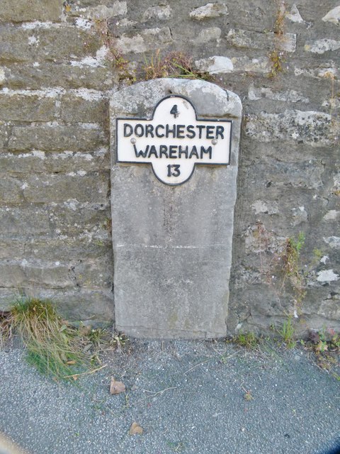
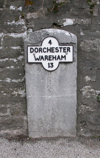
Black Hill is located at Grid Ref: SY7487 (Lat: 50.682461, Lng: -2.362286)

Unitary Authority: Dorset

Police Authority: Dorset

What 3 Words

///prongs.mats.whirlwind. Near Dorchester, Dorset

Related Wikis

West Knighton, Dorset

West Knighton is a village and civil parish in Dorset, England, situated 3 miles (4.8 km) southeast of the county town Dorchester. It has an 11th-century...

Broadmayne

Broadmayne is a village in the English county of Dorset. It lies two miles south-east of the county town Dorchester. The A352 main road between Dorchester...

Mayne Preceptory

Mayne Preceptory was a medieval house of Knights Hospitaller in Dorset, England, which caused the name of the settlement to change from Domesday-era Maine...

Warmwell

Warmwell is a small village and civil parish in south west Dorset, England, situated on the B3390 road about 5 miles (8.0 km) southeast of Dorchester....

RAF Warmwell

Royal Air Force Warmwell or more simply RAF Warmwell is a former Royal Air Force station near Warmwell in Dorset, England from 1937 to 1946, located about...

Crossways, Dorset

Crossways is a village and civil parish in the English county of Dorset. It lies 6 miles (9.7 km) east of the county town Dorchester. In the 2011 census...

Owermoigne

Owermoigne ( OH-ər-MOYN) is a village and civil parish in the county of Dorset in southern England, situated 6 miles (9.7 km) south-east of Dorchester...

Whitcombe, Dorset

Whitcombe is a small village and civil parish in the Dorset unitary authority area of Dorset, England, situated 2 miles (3.2 km) southeast of Dorchester...

Nearby Amenities

Located within 500m of 50.682461,-2.362286
Power: tower
Ref: 4VN 42
Source Ref: interpolation
Lat/Long: 50.679411/-2.3611061
Power: tower
Ref: 4VN 43
Source Ref: interpolation
Lat/Long: 50.6819935/-2.3613588
Power: tower
Ref: 4VN 44
Source Ref: interpolation
Lat/Long: 50.6838649/-2.3614557
Material: wood
Power: pole
Source: bing
Lat/Long: 50.6780178/-2.3627816
Material: wood
Power: pole
Source: bing
Lat/Long: 50.6782548/-2.3636268
Warmwell Mill
Place: farm
Lat/Long: 50.6849816/-2.3568836
Power: pole
Source: bing
Lat/Long: 50.678807/-2.3655485
The data included in this document is from www.openstreetmap.org. The data is made available under ODbL.

Have you been to Black Hill?

Leave your review of Black Hill below (or comments, questions and feedback).