Salt Hill Plantation

Wood, Forest in Dorset

England

Salt Hill Plantation

Defending Dorset in 1940: the Maiden Newton - Poole Harbour Stop Line (50) -
Pillbox (type FW3/22): DoB ID: S0000092

West Stafford - Tenantrees - Type 22 Pillbox.  Yet another overgrown pillbox in this locality, standing in a corner of a field at a road junction, and facing in the direction of the former RAF Warmwell airfield. The large quantity of coiled barbed wire blocking the entrance is supposed to date from WW2. Of standard type 22 brick construction with a concrete floor, it has a concrete roof built with corrugated asbestos sheeting laid over the walls, with the concrete laid on top. The 5 embrasures have been set in concrete within the brick walls.

<a href="https://www.geograph.org.uk/photo/4842343">SY7389 : Defending Dorset in 1940: the Maiden Newton - Poole Harbour Stop Line (51)</a>
Defending Dorset in 1940: the Maiden Newton - Poole Harbour Stop Line (50) Credit: Mike Searle

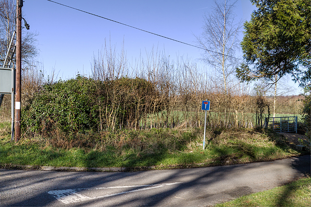
Salt Hill Plantation is a sprawling woodland located in the county of Dorset, England. With its picturesque landscape and rich biodiversity, it is a popular destination for nature lovers and outdoor enthusiasts alike. Spread across an area of approximately 500 acres, the plantation is predominantly covered by dense forests, making it a haven for various woodland species.

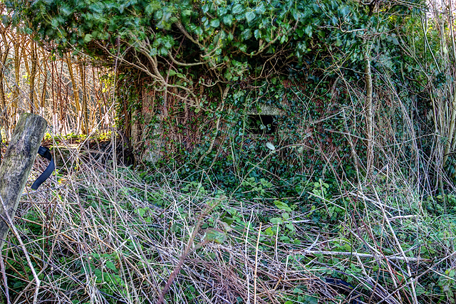
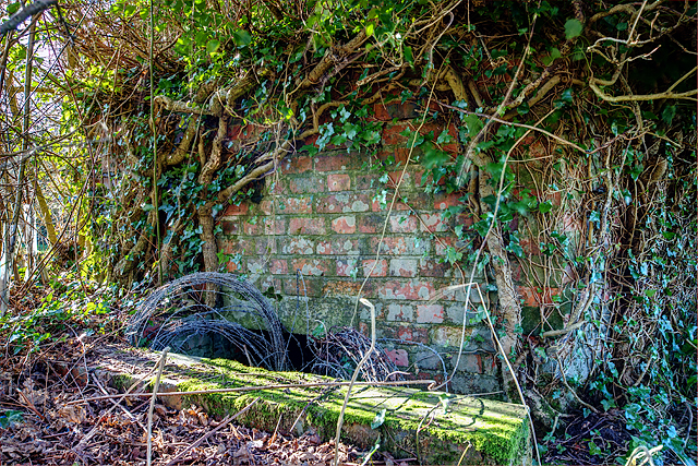
The woodland at Salt Hill Plantation predominantly consists of a mix of deciduous and coniferous trees, including oak, beech, pine, and spruce. This diverse range of tree species creates a vibrant and ever-changing tapestry of colors throughout the year. The forest floor is adorned with an array of wildflowers and ferns, adding to its natural beauty.

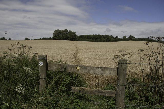
Several walking trails wind their way through the plantation, allowing visitors to explore and immerse themselves in the tranquil surroundings. These trails range in difficulty, catering to both novice hikers and experienced adventurers. Along the paths, visitors may stumble upon picturesque streams and small ponds, providing a serene atmosphere for relaxation and contemplation.

Salt Hill Plantation is also home to a diverse range of wildlife. Deer, badgers, foxes, and rabbits are frequently spotted within the woodland, while various bird species, including woodpeckers and owls, can be heard and seen throughout the year.

Overall, Salt Hill Plantation is a captivating destination for those seeking solace in nature. Its dense forests, scenic trails, and abundant wildlife make it a must-visit location for anyone looking to reconnect with the natural world.

If you have any feedback on the listing, please let us know in the comments section below.

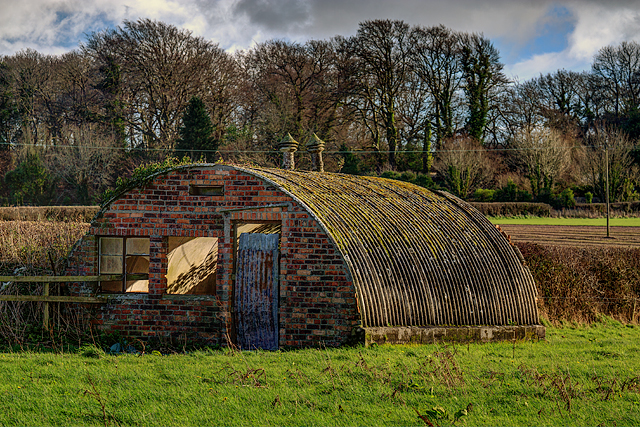
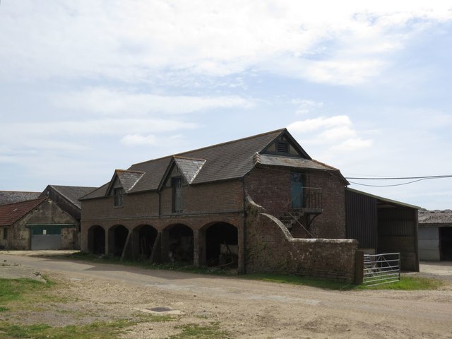
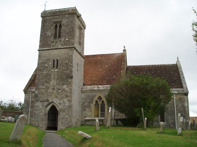
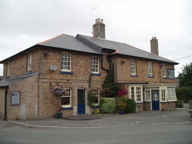
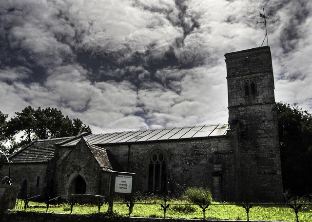
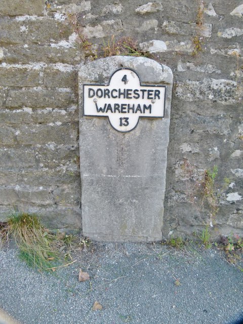
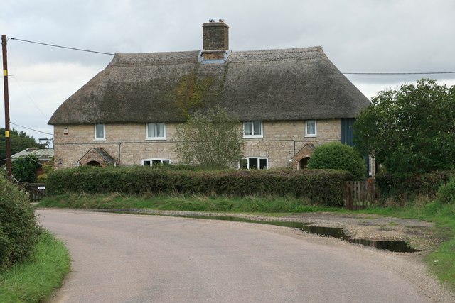
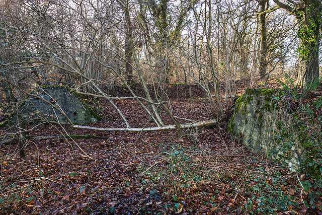
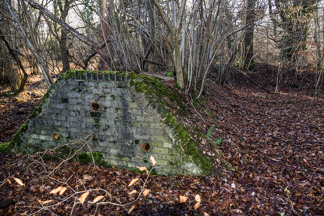
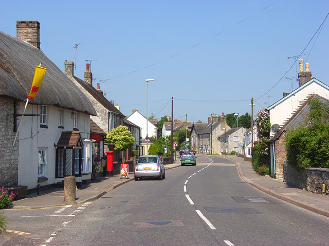
Salt Hill Plantation Images

Images are sourced within 2km of 50.690635/-2.3683374 or Grid Reference SY7487. Thanks to Geograph Open Source API. All images are credited.

Defending Dorset in 1940: the Maiden Newton - Poole Harbour Stop Line (50) -
Pillbox (type FW3/22): DoB ID: S0000092

West Stafford - Tenantrees - Type 22 Pillbox.  Yet another overgrown pillbox in this locality, standing in a corner of a field at a road junction, and facing in the direction of the former RAF Warmwell airfield. The large quantity of coiled barbed wire blocking the entrance is supposed to date from WW2. Of standard type 22 brick construction with a concrete floor, it has a concrete roof built with corrugated asbestos sheeting laid over the walls, with the concrete laid on top. The 5 embrasures have been set in concrete within the brick walls.

<a href="https://www.geograph.org.uk/photo/4842343">SY7389 : Defending Dorset in 1940: the Maiden Newton - Poole Harbour Stop Line (51)</a>
Defending Dorset in 1940: the Maiden Newton - Poole Harbour Stop Line (50)
- Pillbox (type FW3/22): DoB ID: S0000092 West Stafford - Tenantrees - Type 22 Pillbox. Yet another overgrown pillbox in this locality, standing in a corner of a field at a road junction, and facing in the direction of the former RAF Warmwell airfield. The large quantity of coiled barbed wire blocking the entrance is supposed to date from WW2. Of standard type 22 brick construction with a concrete floor, it has a concrete roof built with corrugated asbestos sheeting laid over the walls, with the concrete laid on top. The 5 embrasures have been set in concrete within the brick walls. SY7389 : Defending Dorset in 1940: the Maiden Newton - Poole Harbour Stop Line (51)
Defending Dorset in 1940: the Maiden Newton - Poole Harbour Stop Line (51) -
Pillbox (type FW3/22): DoB ID: S0000092

West Stafford - Tenantrees - Type 22 Pillbox.  A view of the rear of the pillbox which is just visible (the front is totally obscured by vegetation).

<a href="https://www.geograph.org.uk/photo/4842345">SY7389 : Defending Dorset in 1940: the Maiden Newton - Poole Harbour Stop Line (52)</a>
Defending Dorset in 1940: the Maiden Newton - Poole Harbour Stop Line (51)
- Pillbox (type FW3/22): DoB ID: S0000092 West Stafford - Tenantrees - Type 22 Pillbox. A view of the rear of the pillbox which is just visible (the front is totally obscured by vegetation). SY7389 : Defending Dorset in 1940: the Maiden Newton - Poole Harbour Stop Line (52)
Defending Dorset in 1940: the Maiden Newton - Poole Harbour Stop Line (52) -
Pillbox (type FW3/22): DoB ID: S0000092

West Stafford - Tenantrees - Type 22 Pillbox.  The entrance doorway below ground level with its retaining wall and 3 steps down, now leads to coils of barbed wire making entry difficult.

<a href="https://www.geograph.org.uk/photo/4842348">SY7489 : Defending Dorset in 1940: the Maiden Newton - Poole Harbour Stop Line (53)</a>
Defending Dorset in 1940: the Maiden Newton - Poole Harbour Stop Line (52)
- Pillbox (type FW3/22): DoB ID: S0000092 West Stafford - Tenantrees - Type 22 Pillbox. The entrance doorway below ground level with its retaining wall and 3 steps down, now leads to coils of barbed wire making entry difficult. SY7489 : Defending Dorset in 1940: the Maiden Newton - Poole Harbour Stop Line (53)
Defending Dorset in 1940: the Maiden Newton - Poole Harbour Stop Line (53) West Stafford - Lower Lewell Farm - Home Guard Hut.  This hut was the Headquarters of a local unit of the Home Guard responsible for the manning of some of the Frome Valley pillboxes, as well as having a commitment to the defence of nearby RAF Warmwell.

Sometimes confused with the ubiquitous Nissen hut, I believe this to be a Turner's Curved Asbestos Hut, built by the Turner Asbestos Company of Trafford Park, Manchester. Similar examples can be seen at a searchlight site at Winterborne Whitechurch: <a title="https://www.geograph.org.uk/photo/5728586" href="https://www.geograph.org.uk/photo/5728586">Link</a>

<a href="https://www.geograph.org.uk/photo/4842351">SY7489 : Defending Dorset in 1940: the Maiden Newton - Poole Harbour Stop Line (54)</a>
Defending Dorset in 1940: the Maiden Newton - Poole Harbour Stop Line (53)
West Stafford - Lower Lewell Farm - Home Guard Hut. This hut was the Headquarters of a local unit of the Home Guard responsible for the manning of some of the Frome Valley pillboxes, as well as having a commitment to the defence of nearby RAF Warmwell. Sometimes confused with the ubiquitous Nissen hut, I believe this to be a Turner's Curved Asbestos Hut, built by the Turner Asbestos Company of Trafford Park, Manchester. Similar examples can be seen at a searchlight site at Winterborne Whitechurch: Link SY7489 : Defending Dorset in 1940: the Maiden Newton - Poole Harbour Stop Line (54)
Defending Dorset in 1940: the Maiden Newton - Poole Harbour Stop Line (54) West Stafford - Lower Lewell Farm - Home Guard Hut.  Located in a field to the south of Lower Lewell Farm is a hut that was once the Headquarters of a local unit of the Home Guard. They were responsible for the manning of some of the Frome Valley pillboxes, as well as having a commitment to the defence of nearby RAF Warmwell.

Sometimes confused with the ubiquitous Nissen hut, I believe this to be a Turner's Curved Asbestos Hut, built by the Turner Asbestos Company of Trafford Park, Manchester. Similar examples can be seen at a searchlight site at Winterborne Whitechurch: <a title="https://www.geograph.org.uk/photo/5728586" href="https://www.geograph.org.uk/photo/5728586">Link</a>

<a href="https://www.geograph.org.uk/photo/4842359">SY7590 : Defending Dorset in 1940: the Maiden Newton - Poole Harbour Stop Line (55)</a>
Defending Dorset in 1940: the Maiden Newton - Poole Harbour Stop Line (54)
West Stafford - Lower Lewell Farm - Home Guard Hut. Located in a field to the south of Lower Lewell Farm is a hut that was once the Headquarters of a local unit of the Home Guard. They were responsible for the manning of some of the Frome Valley pillboxes, as well as having a commitment to the defence of nearby RAF Warmwell. Sometimes confused with the ubiquitous Nissen hut, I believe this to be a Turner's Curved Asbestos Hut, built by the Turner Asbestos Company of Trafford Park, Manchester. Similar examples can be seen at a searchlight site at Winterborne Whitechurch: Link SY7590 : Defending Dorset in 1940: the Maiden Newton - Poole Harbour Stop Line (55)
Footpath through field of maize near Talbothays
Stafford Farm
Stafford Farm
Talbothays Cottages
Talbothays Cottages
St Martin's Church, Broadmayne
The Black Dog, Broadmayne
St Peter's Church, West Knighton Thomas Hardy was involved in the reconstruction of this church in the 19th Century.
St Peter's Church, West Knighton
Thomas Hardy was involved in the reconstruction of this church in the 19th Century.
Footpath near Lower Glebe Farm There is a junction in the footpaths here, a local footpath heading north towards West Stafford and the Jubilee Trail heading west.
Footpath near Lower Glebe Farm
There is a junction in the footpaths here, a local footpath heading north towards West Stafford and the Jubilee Trail heading west.
Old Milestone by the A352, Broadmayne Metal plate attached to stone post by the A352, in parish of Broadmayne (West Dorset District), by Broadmayne Church, set into wall at south end of lay-by by church, on North-east side of road. Dorset 3 and 4 (iron plated), erected by the Dorchester & Wool Turnpike Trust in the 19th century. 

Inscription reads:-
4
DORCHESTER
WAREHAM
13 

Milestone Society National ID: DO_DOWA04.
Old Milestone by the A352, Broadmayne
Metal plate attached to stone post by the A352, in parish of Broadmayne (West Dorset District), by Broadmayne Church, set into wall at south end of lay-by by church, on North-east side of road. Dorset 3 and 4 (iron plated), erected by the Dorchester & Wool Turnpike Trust in the 19th century. Inscription reads:- 4 DORCHESTER WAREHAM 13 Milestone Society National ID: DO_DOWA04.
Old Milestone by the A352,  Main Street, Broadmayne Metal plate attached to stone post by the A352, in parish of BROADMAYNE (WEST DORSET District), by Broadmayne Church, set into wall at south end of lay-by near church, on North side of road. Dorset 3 and 4 (iron plated), erected by the Dorchester & Wool turnpike trust in the 19th century. 

Inscription reads:-
4
DORCHESTER
WAREHAM
13

Milestone Society National ID: DO_DOWA04R.
Old Milestone by the A352, Main Street, Broadmayne
Metal plate attached to stone post by the A352, in parish of BROADMAYNE (WEST DORSET District), by Broadmayne Church, set into wall at south end of lay-by near church, on North side of road. Dorset 3 and 4 (iron plated), erected by the Dorchester & Wool turnpike trust in the 19th century. Inscription reads:- 4 DORCHESTER WAREHAM 13 Milestone Society National ID: DO_DOWA04R.
Footpath through stubble field, Talbothays
Lewell Corner
Lewell Corner
WWII Dorset: discovering RAF Warmwell (19) -
Knighton Heath Wood - Bomb Component Store

Subterranean structure built into the two ends of an earth revetment for the storage of small bombs carried by fighter aircraft under the wings.

<a href="https://www.geograph.org.uk/photo/6372884">SY7488 : WWII Dorset: discovering RAF Warmwell (20)</a>
WWII Dorset: discovering RAF Warmwell (19)
- Knighton Heath Wood - Bomb Component Store Subterranean structure built into the two ends of an earth revetment for the storage of small bombs carried by fighter aircraft under the wings. SY7488 : WWII Dorset: discovering RAF Warmwell (20)
WWII Dorset: discovering RAF Warmwell (20) -
Knighton Heath Wood - Bomb Component Store

Not surprisingly, the store was situated in the furthest corner of the wood away from the fighter pens where most of the action took place. 

As the war progressed, offensive fighter sweeps over France were conducted from Warmwell using Hurricanes carrying bombs under their wings. The bombs would have been supplied from these stores.

<a href="https://www.geograph.org.uk/photo/6372896">SY7588 : WWII Dorset: discovering RAF Warmwell (21)</a>
WWII Dorset: discovering RAF Warmwell (20)
- Knighton Heath Wood - Bomb Component Store Not surprisingly, the store was situated in the furthest corner of the wood away from the fighter pens where most of the action took place. As the war progressed, offensive fighter sweeps over France were conducted from Warmwell using Hurricanes carrying bombs under their wings. The bombs would have been supplied from these stores. SY7588 : WWII Dorset: discovering RAF Warmwell (21)
Show me another place!

Salt Hill Plantation is located at Grid Ref: SY7487 (Lat: 50.690635, Lng: -2.3683374)

Unitary Authority: Dorset

Police Authority: Dorset

What 3 Words

///glory.utter.uplifting. Near Dorchester, Dorset

Related Wikis

West Knighton, Dorset

West Knighton is a village and civil parish in Dorset, England, situated 3 miles (4.8 km) southeast of the county town Dorchester. It has an 11th-century...

Mayne Preceptory

Mayne Preceptory was a medieval house of Knights Hospitaller in Dorset, England, which caused the name of the settlement to change from Domesday-era Maine...

Broadmayne

Broadmayne is a village in the English county of Dorset. It lies two miles south-east of the county town Dorchester. The A352 main road between Dorchester...

RAF Warmwell

Royal Air Force Warmwell or more simply RAF Warmwell is a former Royal Air Force station near Warmwell in Dorset, England from 1937 to 1946, located about...

Warmwell

Warmwell is a small village and civil parish in south west Dorset, England, situated on the B3390 road about 5 miles (8.0 km) southeast of Dorchester....

West Stafford

West Stafford is a village and civil parish in southwest Dorset, England, situated in the Frome valley 2 miles (3.2 km) east of Dorchester. In the 2011...

Whitcombe, Dorset

Whitcombe is a small village and civil parish in the Dorset unitary authority area of Dorset, England, situated 2 miles (3.2 km) southeast of Dorchester...

Whitcombe Church

Whitcombe Church in Whitcombe, Dorset, England was built in the 12th century. It is recorded in the National Heritage List for England as a designated...

Nearby Amenities

Located within 500m of 50.690635,-2.3683374
Material: wood
Power: pole
Source: bing
Lat/Long: 50.690582/-2.3667279
Material: wood
Power: pole
Source: bing
Lat/Long: 50.6910306/-2.3676074
Material: wood
Power: pole
Source: bing
Lat/Long: 50.6910451/-2.3749632
Material: wood
Power: pole
Source: bing
Lat/Long: 50.6910849/-2.3738638
Material: wood
Power: pole
Source: bing
Lat/Long: 50.6912821/-2.3727673
Material: wood
Power: pole
Source: bing
Lat/Long: 50.6914539/-2.3684327
Material: wood
Power: pole
Source: bing
Lat/Long: 50.6914774/-2.3716851
Material: wood
Power: pole
Source: bing
Lat/Long: 50.6916764/-2.3704544
Material: wood
Power: pole
Source: bing
Lat/Long: 50.6919007/-2.3692807
The data included in this document is from www.openstreetmap.org. The data is made available under ODbL.

Have you been to Salt Hill Plantation?

Leave your review of Salt Hill Plantation below (or comments, questions and feedback).