Callow Hill
Hill, Mountain in Worcestershire Wyre Forest
England
Callow Hill
Callow Hill is a prominent geographical feature located in Worcestershire, England. Situated in the western part of the county, this hill is known for its picturesque landscapes and rich natural diversity. Standing approximately 349 meters (1,145 feet) above sea level, it provides a commanding view of the surrounding countryside.
The hill is part of the Malvern Hills Area of Outstanding Natural Beauty, which highlights its significance in terms of environmental conservation and scenic appeal. With its gently sloping sides and a moderately steep incline at its peak, Callow Hill offers a range of walking and hiking opportunities for outdoor enthusiasts.
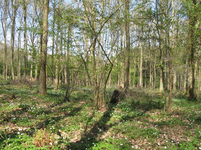
The vegetation on Callow Hill consists predominantly of grasses, heathers, and shrubs, providing a habitat for a variety of wildlife. The hill is home to numerous bird species, such as buzzards, kestrels, and pheasants, which can often be spotted soaring above its slopes. Additionally, small mammals like rabbits and foxes can be found in the area.
Callow Hill is accessible via several footpaths and trails, making it a popular destination for recreational activities such as walking, hiking, and nature exploration. Its proximity to neighboring towns and villages, such as Malvern and Worcester, also makes it easily accessible for both locals and visitors.
Overall, Callow Hill stands as a beautiful natural landmark in Worcestershire, providing an escape into nature and a chance to immerse oneself in the stunning surroundings of the Malvern Hills Area of Outstanding Natural Beauty.
If you have any feedback on the listing, please let us know in the comments section below.
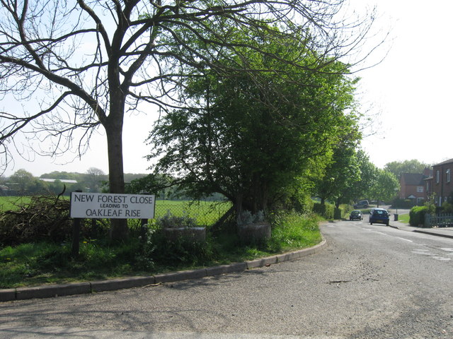
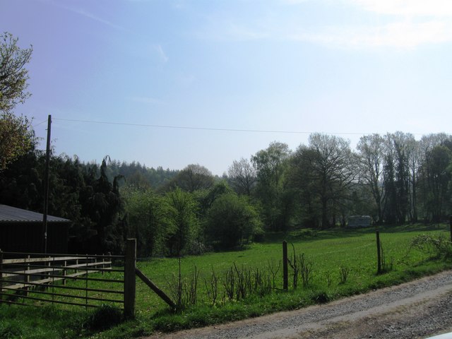
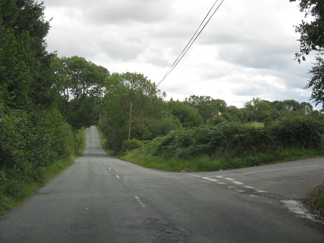
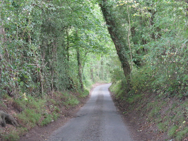
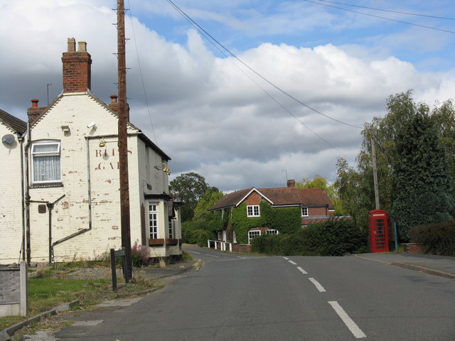
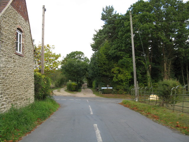
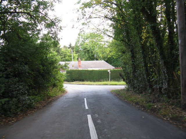
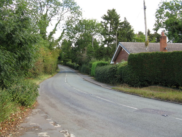
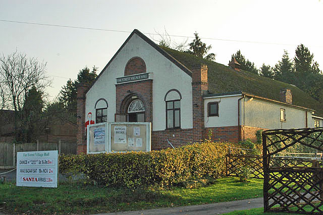
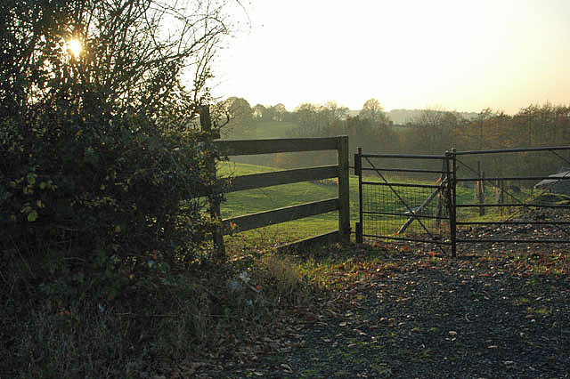
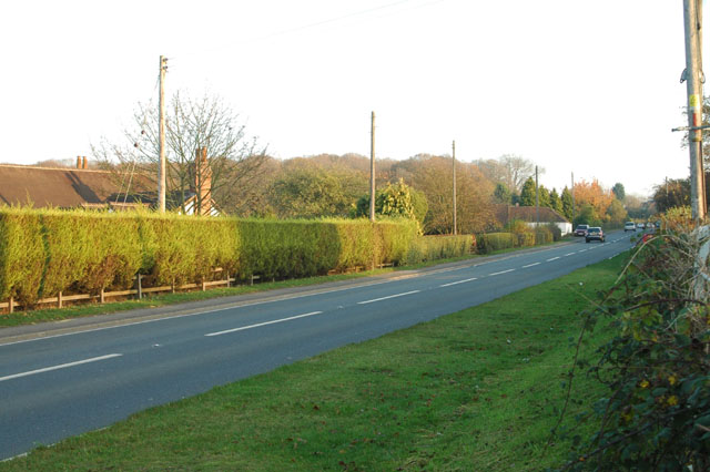
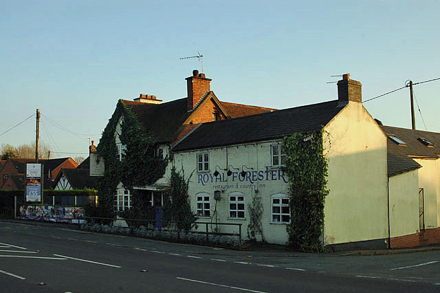
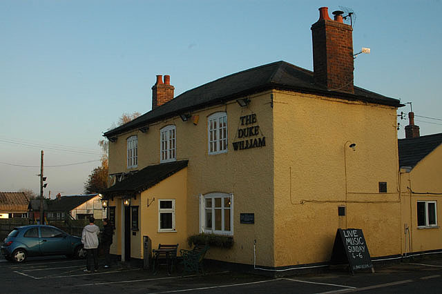
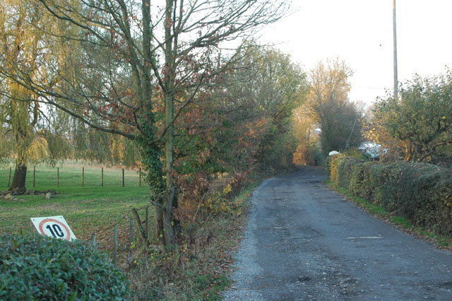
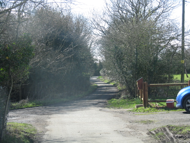
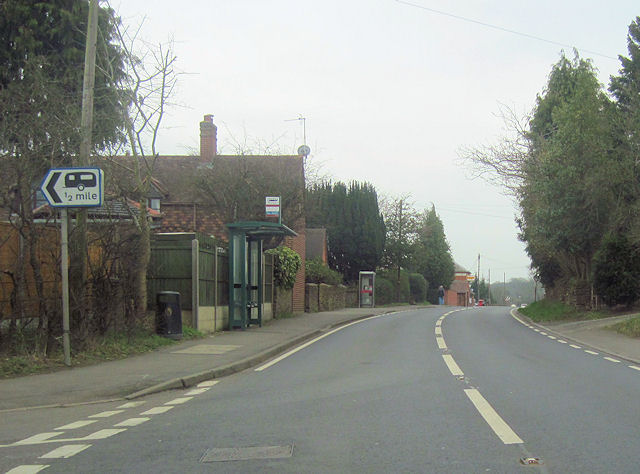
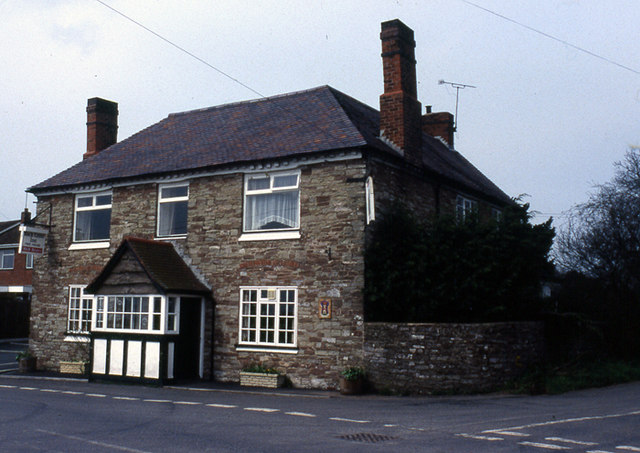
Callow Hill Images
Images are sourced within 2km of 52.364978/-2.377529 or Grid Reference SO7474. Thanks to Geograph Open Source API. All images are credited.

Callow Hill is located at Grid Ref: SO7474 (Lat: 52.364978, Lng: -2.377529)
Administrative County: Worcestershire
District: Wyre Forest
Police Authority: West Mercia
What 3 Words
///limitless.managers.spires. Near Bewdley, Worcestershire
Nearby Locations
Related Wikis

Fingerpost, Worcestershire
Fingerpost is a hamlet and road junction in north Worcestershire, England, approximately 3 miles (4.8 km) west of Bewdley. It is located at the junction...

Far Forest
Far Forest is a small village in north Worcestershire, England, approximately 3.5 miles (5.6 km) west of Bewdley, and next to the border with Shropshire...

Bliss Gate
Bliss Gate is a small village in Worcestershire, England. It had many attractive tourist landmarks such as the Bliss Gate Inn (now closed) and a village...

Wyre Forest
Wyre Forest is a large, semi-natural (partially unmanaged) woodland and forest measuring 26.34 square kilometres (10.17 sq mi) which straddles the borders...
Wyre Forest railway station
Wyre Forest railway station was a station to the north of Far Forest, Worcestershire, England. The station which served the Wyre Forest was opened in 1869...
Rock, Worcestershire
Rock is a village and civil parish in the Wyre Forest District of Worcestershire, England, which lies south-west of Bewdley. It had a population of 2,366...

Knowles Mill
Knowles Mill is the remains of an eighteenth-century water-powered grain mill, located in the Wyre Forest in Worcestershire, England. The mill has been...

Church of St Peter and St Paul, Rock
The Church of St Peter and St Paul is an Anglican church in the village of Rock, in Worcestershire, England. It is in the parish of Rock with Heightington...
Nearby Amenities
Located within 500m of 52.364978,-2.377529Have you been to Callow Hill?
Leave your review of Callow Hill below (or comments, questions and feedback).