Boutch Hillock

Hill, Mountain in Kincardineshire

Scotland

Boutch Hillock

Burnmouth Brig over Burnie Shag
Burnmouth Brig over Burnie Shag Credit: Douglas Nelson

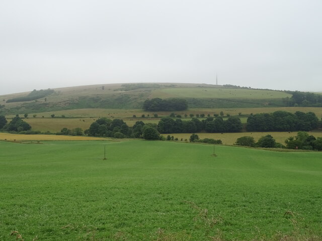
Boutch Hillock is a prominent hill located in the region of Kincardineshire, Scotland. Rising to an elevation of approximately 334 meters (1,096 feet), it is considered a significant landmark within the area. The hill is situated near the town of Muchalls, approximately 16 kilometers (10 miles) south of the city of Aberdeen.

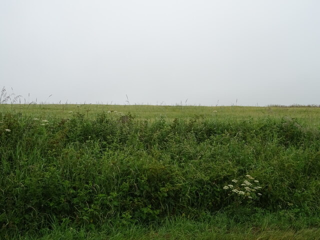
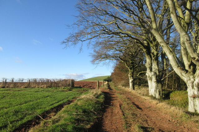
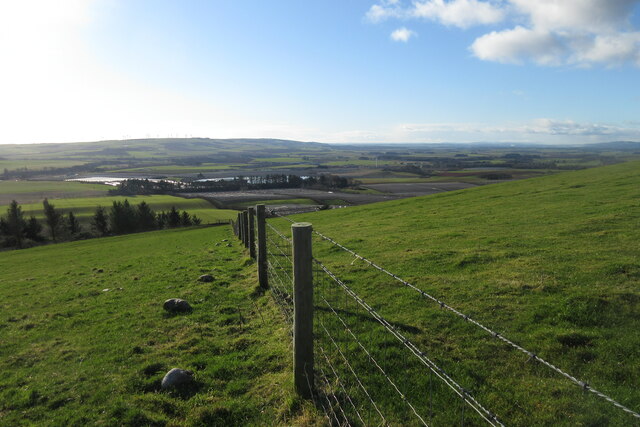
Boutch Hillock offers breathtaking panoramic views of the surrounding countryside and coastline, making it a popular destination for hikers, nature enthusiasts, and photographers. The hill is characterized by its gentle slopes, lush green vegetation, and rocky outcrops. Its strategic location provides visitors with stunning vistas of the North Sea and the picturesque coastal cliffs that stretch along the shoreline.

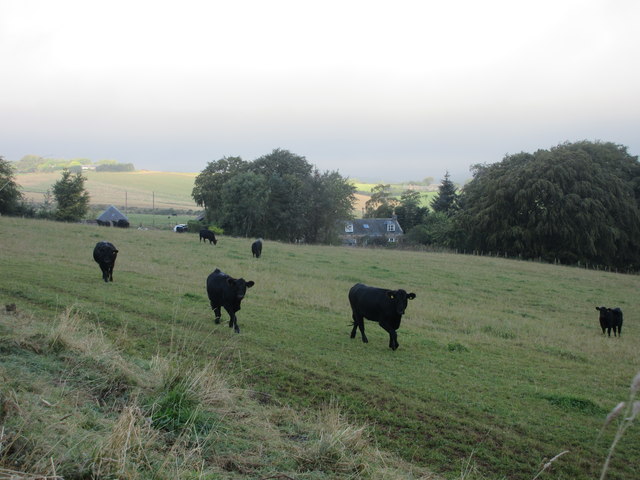
The hill is also known for its diverse wildlife, with several species of birds, mammals, and plants calling it home. It is not uncommon to spot birds of prey soaring above, as the hill provides an ideal habitat for these majestic creatures.

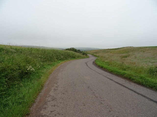
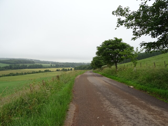
Access to Boutch Hillock is relatively easy, with various footpaths and trails leading up to its summit. These paths are well-maintained and offer a range of difficulty levels, accommodating both novice and experienced hikers. Visitors can take advantage of the ample parking available nearby and can enjoy a leisurely stroll or a more challenging hike, depending on their preferences.

Overall, Boutch Hillock is a captivating natural feature that offers a tranquil escape from the hustle and bustle of urban life, providing an opportunity for visitors to immerse themselves in the beauty of Scotland's countryside.

If you have any feedback on the listing, please let us know in the comments section below.

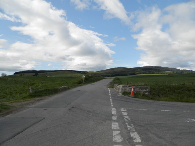
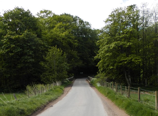
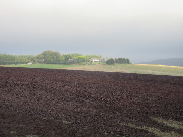
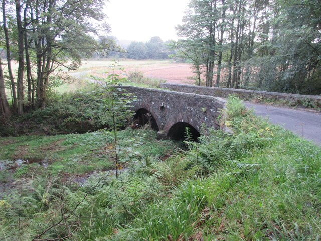
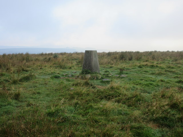
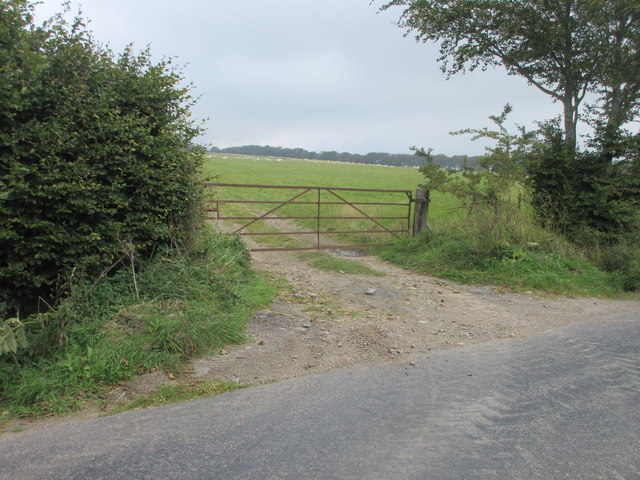
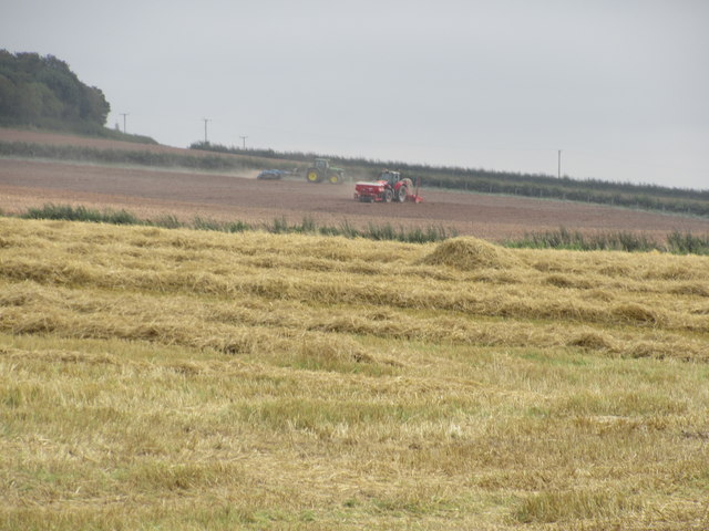
Boutch Hillock Images

Images are sourced within 2km of 56.912474/-2.4224999 or Grid Reference NO7480. Thanks to Geograph Open Source API. All images are credited.

Burnmouth Brig over Burnie Shag
Field at Hawkhill Farm, Glenbervie
Bridge of Bervie Bridge of Bervie over Bervie Water
Bridge of Bervie
Bridge of Bervie over Bervie Water
Mid Blairs A distant view of Mid Blairs from the roadside to the south-east.
Mid Blairs
A distant view of Mid Blairs from the roadside to the south-east.
Cattle at Auchtochter Black cattle, with Auchtochter in the background.
Cattle at Auchtochter
Black cattle, with Auchtochter in the background.
Bridge over the Bervie Bridge carrying the C19K Auchenblae to Glenbervie road over the Bervie Water.
Bridge over the Bervie
Bridge carrying the C19K Auchenblae to Glenbervie road over the Bervie Water.
Droop Hill Trig Pillar The triangulation pillar on the flat summit of Droop Hill, viewed from the east.
Droop Hill Trig Pillar
The triangulation pillar on the flat summit of Droop Hill, viewed from the east.
Rusty gate Gate on the north side of the Auchenblae to Stonehaven road near Dellavaird.
Rusty gate
Gate on the north side of the Auchenblae to Stonehaven road near Dellavaird.
Farmwork on Herscha Hill Working on the fields near Newlands on the lower slopes of Herscha Hill.
Farmwork on Herscha Hill
Working on the fields near Newlands on the lower slopes of Herscha Hill.
Field above the Glenbervie Road
Glenbervie Road From Kinkell towards Glenbervie.
Glenbervie Road
From Kinkell towards Glenbervie.
Grazing, Auchtochter Towards a distant Droop Hill.
Grazing, Auchtochter
Towards a distant Droop Hill.
Glenbervie Road, Auchtochter Looking east.
Glenbervie Road, Auchtochter
Looking east.
Distribution centre, Glenbervie
Approaching Knock Hill from the east Approaching Knock Hill from the east along the path leading up from East Mondynes beside the A90.
Approaching Knock Hill from the east
Approaching Knock Hill from the east along the path leading up from East Mondynes beside the A90.
View from the slope of Knock Hill towards the south-west Looking south-west over Castleton Farm in the middle distance towards Hill of Garvock in the left distance. The route of the A90 dual-carriageway from Aberdeen to Dundee goes from left to right in the middle distance along the low land.
View from the slope of Knock Hill towards the south-west
Looking south-west over Castleton Farm in the middle distance towards Hill of Garvock in the left distance. The route of the A90 dual-carriageway from Aberdeen to Dundee goes from left to right in the middle distance along the low land.
Cushnie Farm Cottages Cottages at the entrance drive to Cushnie, viewed from the south-east.
Cushnie Farm Cottages
Cottages at the entrance drive to Cushnie, viewed from the south-east.
Scarecrow at Bankhead Rudimentary scarecrow in a field to the east of Bankhead.
Scarecrow at Bankhead
Rudimentary scarecrow in a field to the east of Bankhead.
Show me another place!

Boutch Hillock is located at Grid Ref: NO7480 (Lat: 56.912474, Lng: -2.4224999)

Unitary Authority: Aberdeenshire

Police Authority: North East

What 3 Words

///newly.jazz.scribbled. Near Laurencekirk, Aberdeenshire

Nearby Locations

Boutch Hillock

Related Wikis

Droop Hill

Droop Hill is a mountain landform in the Kincardine and Mearns region of Aberdeenshire, Scotland. The locale had been featured in a windfarm proposal...

Auchinblae distillery

Auchenblae distillery was a scotch whisky distillery in Auchenblae, Kincardine, Aberdeenshire, Scotland. == History == The distillery was created in 1895...

Glenbervie House

Glenbervie House is a mansion house, which has incorporated parts of an earlier castle, located near Glenbervie, Kincardine and Mearns, Scotland. ��2...

Glenbervie

Glenbervie (Scottish Gaelic: Gleann Biorbhaidh) is located in the north east of Scotland in the Howe o' the Mearns, one mile from the village of Drumlithie...

Nearby Amenities

Located within 500m of 56.912474,-2.4224999
Mid Blairs
Place: locality
Lat/Long: 56.915351/-2.4209946
Power: pole
Lat/Long: 56.9157097/-2.4213314
Power: pole
Lat/Long: 56.9153598/-2.4233786
Power: pole
Lat/Long: 56.916829/-2.4228973
Power: pole
Lat/Long: 56.9160941/-2.4231479
Power: pole
Lat/Long: 56.9145952/-2.4236048
Power: pole
Lat/Long: 56.9138324/-2.4238355
Power: pole
Lat/Long: 56.913072/-2.4240772
Power: pole
Lat/Long: 56.9123818/-2.424299
Power: pole
Lat/Long: 56.9117994/-2.4234407
Power: pole
Lat/Long: 56.9112266/-2.422589
Power: pole
Lat/Long: 56.9106708/-2.4217461
Power: pole
Lat/Long: 56.9100581/-2.4208301
Power: pole
Lat/Long: 56.9094732/-2.4199717
Power: pole
Lat/Long: 56.9088968/-2.4191111
Power: pole
Lat/Long: 56.9097772/-2.4220855
Power: pole
Lat/Long: 56.9095205/-2.4233165
Power: pole
Lat/Long: 56.9092759/-2.4244632
Power: pole
Lat/Long: 56.9092419/-2.4188849
Power: pole
Lat/Long: 56.9097142/-2.4188361
Power: pole
Lat/Long: 56.9100648/-2.4193651
The data included in this document is from www.openstreetmap.org. The data is made available under ODbL.

Have you been to Boutch Hillock?

Leave your review of Boutch Hillock below (or comments, questions and feedback).