Oxbind Coppice
Wood, Forest in Worcestershire Wyre Forest
England
Oxbind Coppice
Oxbind Coppice is a picturesque woodland located in the county of Worcestershire, England. Spread over an area of approximately 50 acres, it is known for its natural beauty, diverse flora, and rich wildlife. The coppice is situated near the village of Oxbind and is easily accessible by a network of footpaths.
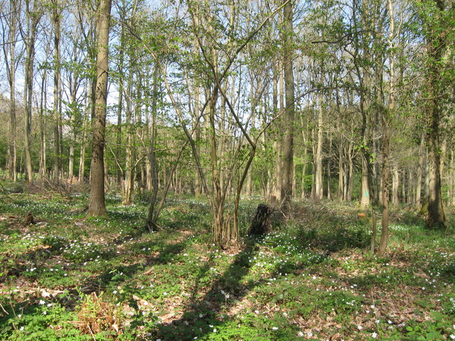
The woodland is predominantly composed of oak trees, with some areas also featuring beech, ash, and birch trees. These tall and majestic trees provide a dense canopy, creating a peaceful and serene atmosphere within the wood. The forest floor is covered with a variety of plants, including bluebells, primroses, and wild garlic, which bloom in vibrant colors during the spring season.
Oxbind Coppice is a haven for wildlife enthusiasts, as it is home to a wide range of animals. Deer, foxes, badgers, and rabbits can often be spotted roaming freely among the trees. The woodland also attracts numerous bird species, such as woodpeckers, owls, and warblers, making it a popular spot for birdwatching.
The coppice is managed by local conservation groups who work to maintain its natural beauty and preserve its biodiversity. They carefully manage the woodland through sustainable practices such as coppicing, which involves periodically cutting down certain trees to promote new growth.
Visitors to Oxbind Coppice can enjoy the tranquility of nature by taking leisurely walks along the well-marked trails. The woodland offers a peaceful retreat where visitors can immerse themselves in the beauty of nature and experience the sights and sounds of a traditional English woodland.
If you have any feedback on the listing, please let us know in the comments section below.
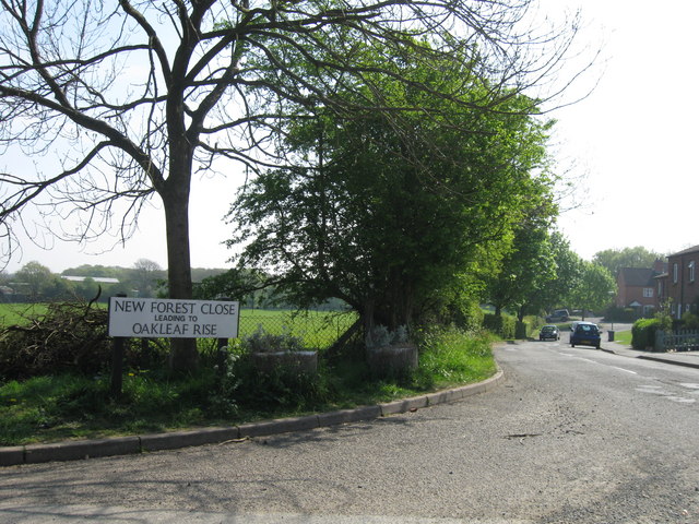
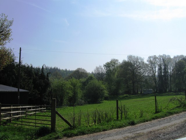
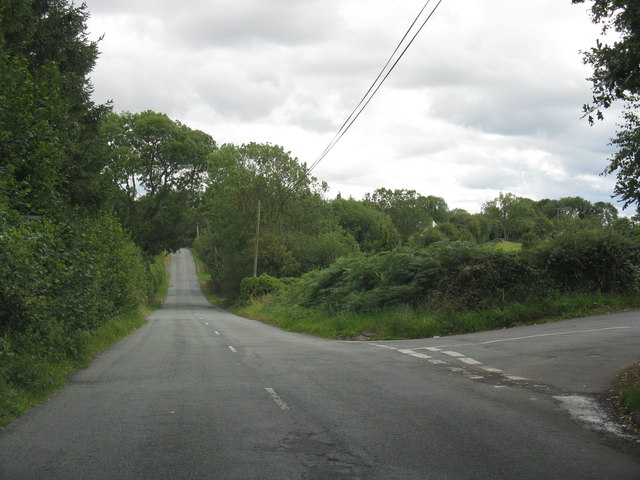
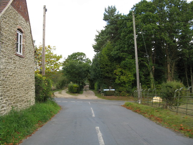
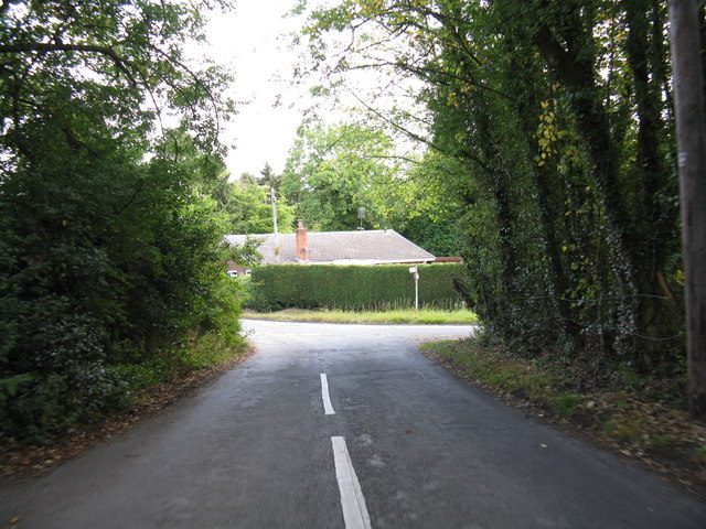
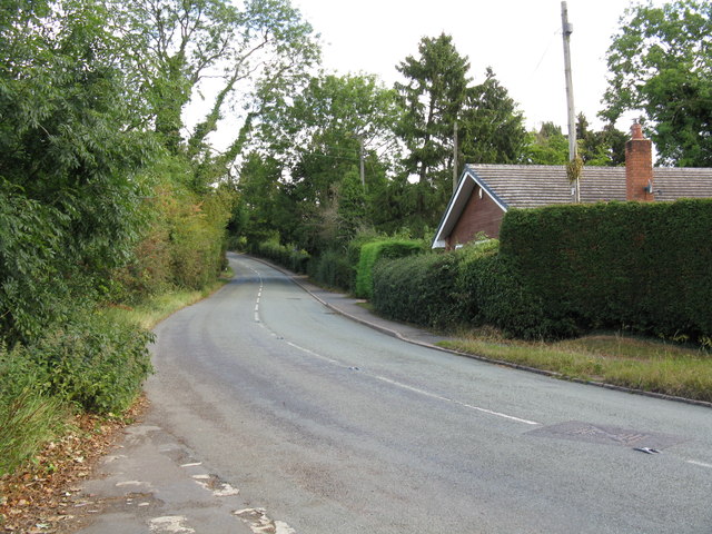
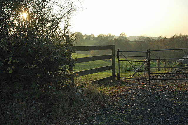
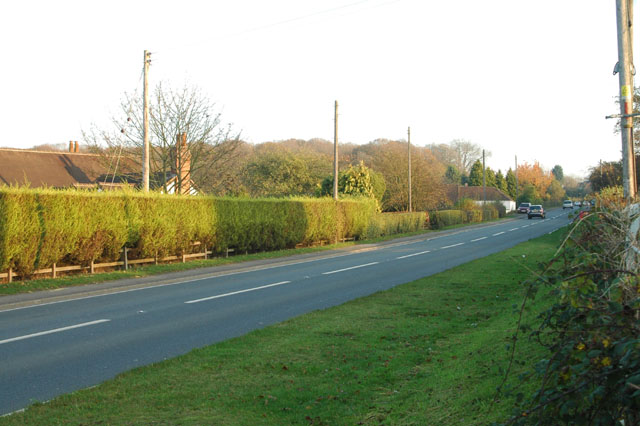
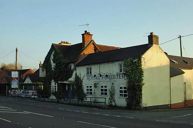
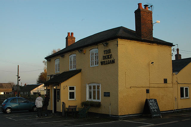
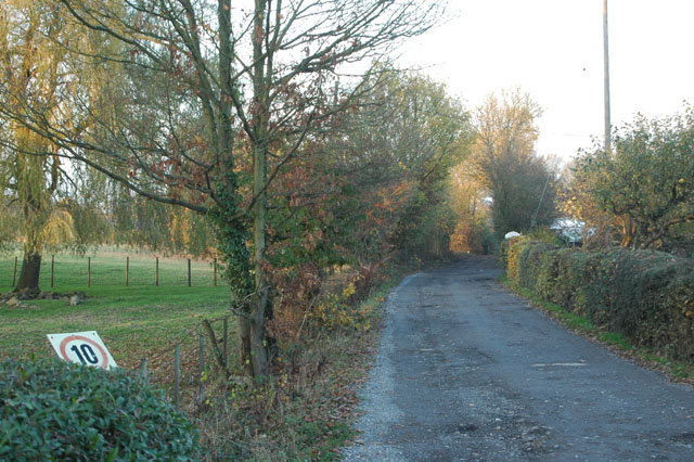
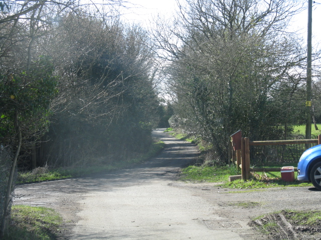
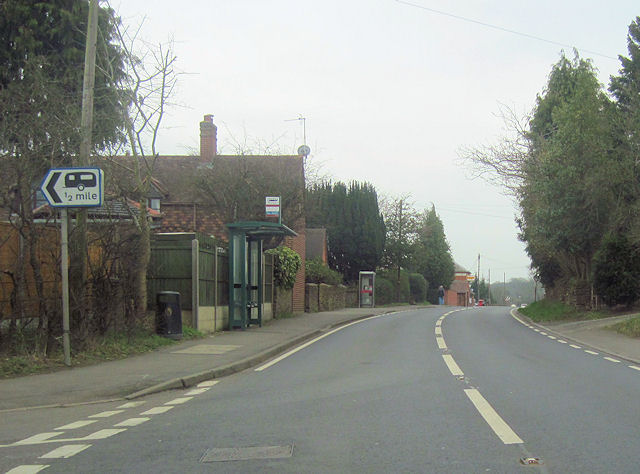
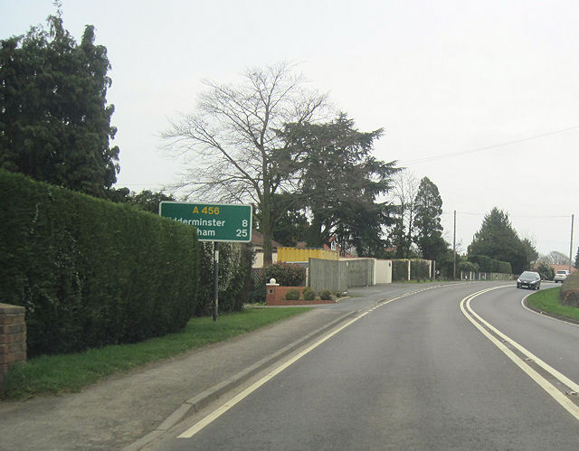
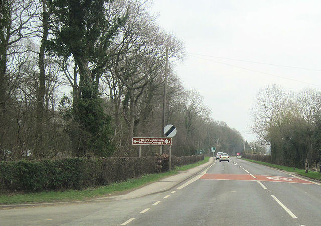
Oxbind Coppice Images
Images are sourced within 2km of 52.369842/-2.3803612 or Grid Reference SO7474. Thanks to Geograph Open Source API. All images are credited.


Oxbind Coppice is located at Grid Ref: SO7474 (Lat: 52.369842, Lng: -2.3803612)
Administrative County: Worcestershire
District: Wyre Forest
Police Authority: West Mercia
What 3 Words
///mentioned.financial.remodels. Near Bewdley, Worcestershire
Nearby Locations
Related Wikis

Fingerpost, Worcestershire
Fingerpost is a hamlet and road junction in north Worcestershire, England, approximately 3 miles (4.8 km) west of Bewdley. It is located at the junction...

Far Forest
Far Forest is a small village in north Worcestershire, England, approximately 3.5 miles (5.6 km) west of Bewdley, and next to the border with Shropshire...

Wyre Forest
Wyre Forest is a large, semi-natural (partially unmanaged) woodland and forest measuring 26.34 square kilometres (10.17 sq mi) which straddles the borders...
Wyre Forest railway station
Wyre Forest railway station was a station to the north of Far Forest, Worcestershire, England. The station which served the Wyre Forest was opened in 1869...

Bliss Gate
Bliss Gate is a small village in Worcestershire, England. It had many attractive tourist landmarks such as the Bliss Gate Inn (now closed) and a village...

Knowles Mill
Knowles Mill is the remains of an eighteenth-century water-powered grain mill, located in the Wyre Forest in Worcestershire, England. The mill has been...
Button Oak
Button Oak is a small village in the English county of Shropshire, England. It is 3 miles north west of Bewdley. Button Oak is very similar to nearby...
Rock, Worcestershire
Rock is a village and civil parish in the Wyre Forest District of Worcestershire, England, which lies south-west of Bewdley. It had a population of 2,366...
Nearby Amenities
Located within 500m of 52.369842,-2.3803612Have you been to Oxbind Coppice?
Leave your review of Oxbind Coppice below (or comments, questions and feedback).