Peat Knowe

Hill, Mountain in Northumberland

England

Peat Knowe

Burngrange Moor from the air The distinctive shaped woodlands are on Burngrange Moor.
Burngrange Moor from the air Credit: Thomas Nugent

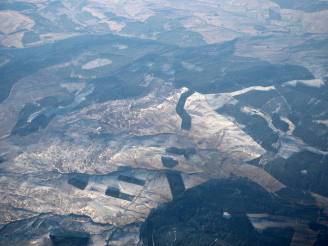
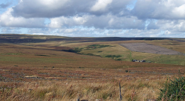
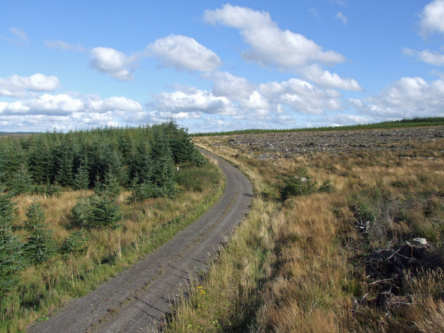
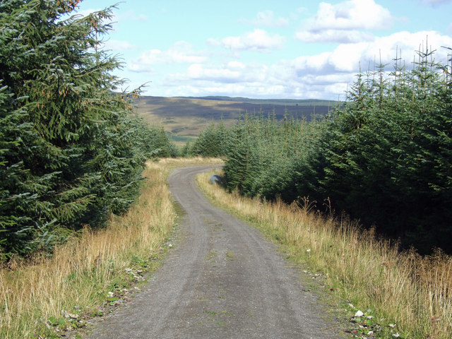
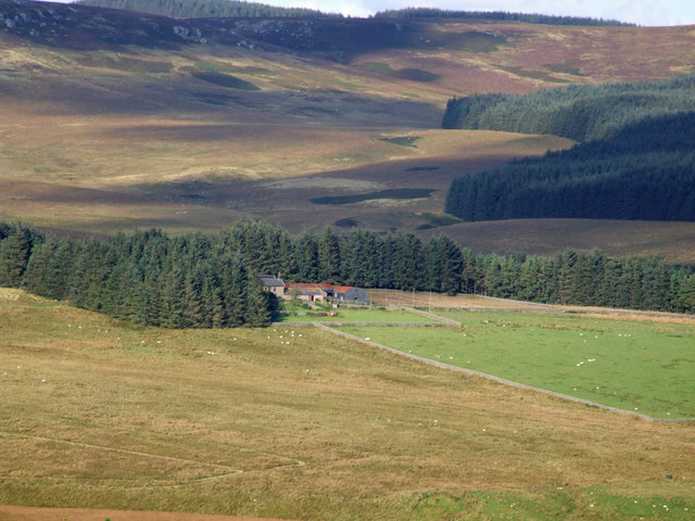
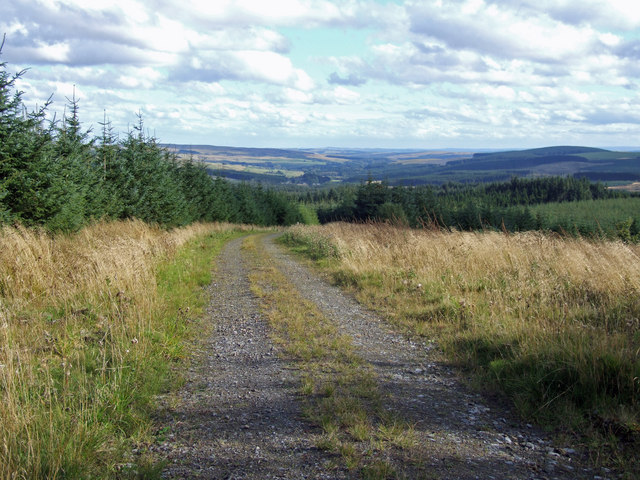
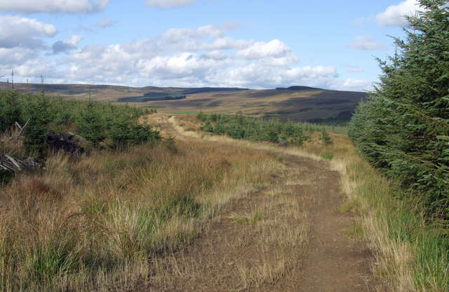
Peat Knowe is a prominent hill located in Northumberland, a county in the northeast of England. With an elevation of approximately 366 meters (1,201 feet), it stands as one of the highest points in the region. The hill is situated within the Northumberland National Park, a designated area of outstanding natural beauty.

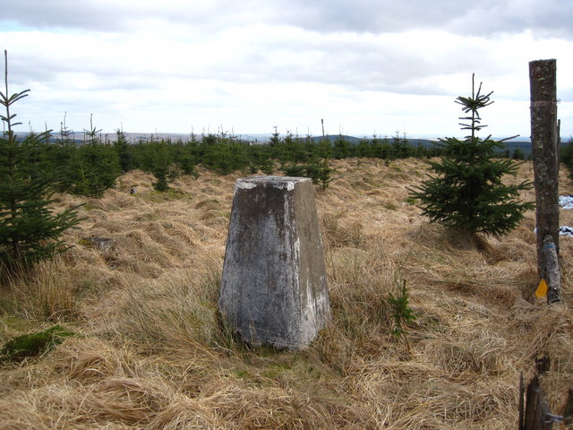
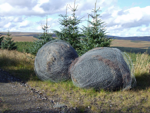
The name "Peat Knowe" refers to the abundance of peat found in the area, which is a type of soil formed from decaying plant matter. The hill itself is characterized by its rounded shape and is covered in heather and grasses, giving it a distinctive appearance that changes hues with the seasons.

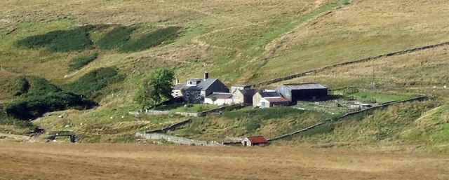
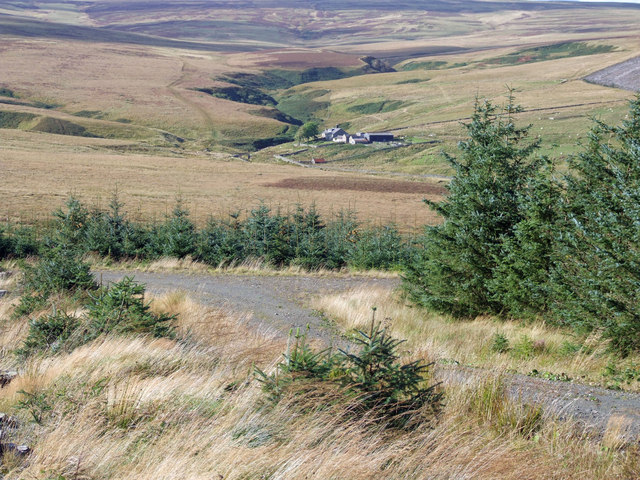
Peat Knowe offers breathtaking views of the surrounding landscape, including sweeping vistas of the Cheviot Hills to the west and the rolling countryside of Northumberland to the east. On a clear day, it is possible to see as far as the North Sea coast.

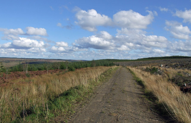
The hill attracts outdoor enthusiasts and nature lovers who enjoy hiking and hillwalking. Several well-marked trails allow visitors to explore the area, including a route that leads to the summit of Peat Knowe. The ascent is moderately challenging, but the reward is a panoramic view that makes the effort worthwhile.

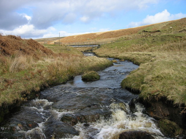
Peat Knowe is also home to a diverse range of flora and fauna, including various species of birds, small mammals, and insects. The hill is protected as part of the Northumberland National Park, ensuring the preservation of its natural beauty and biodiversity for future generations to enjoy.

If you have any feedback on the listing, please let us know in the comments section below.
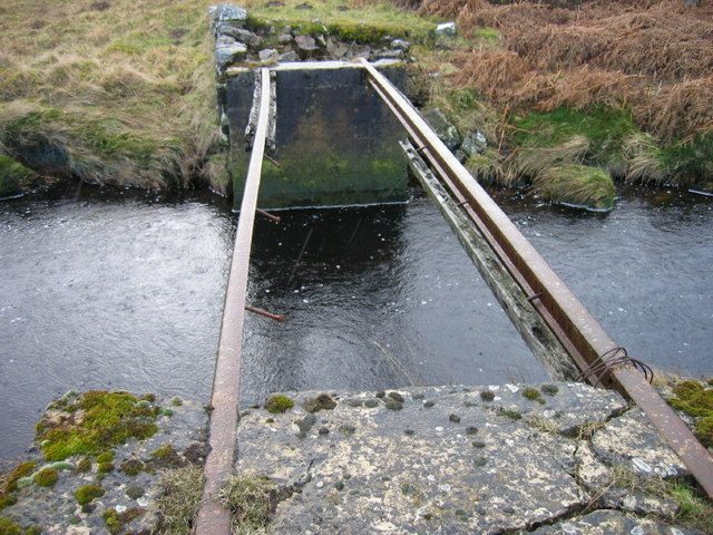
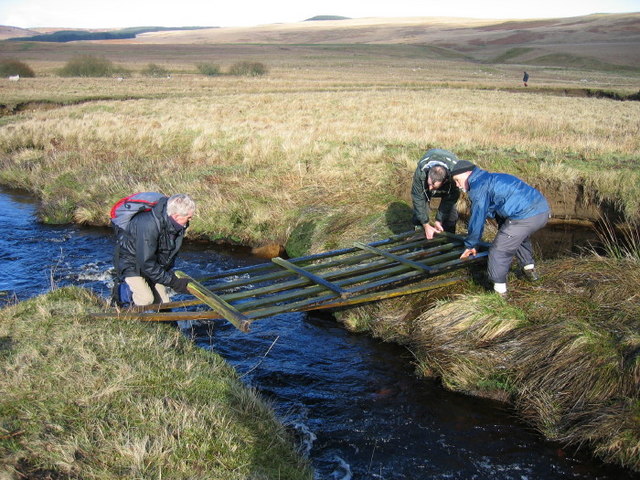
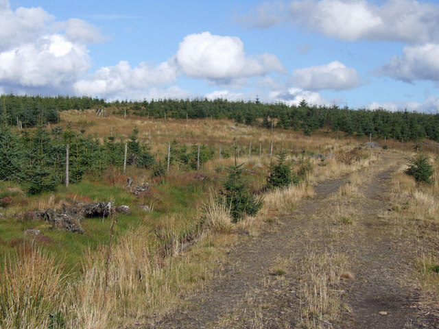
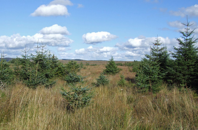
Peat Knowe Images

Images are sourced within 2km of 55.241521/-2.4105213 or Grid Reference NY7394. Thanks to Geograph Open Source API. All images are credited.

Burngrange Moor from the air The distinctive shaped woodlands are on Burngrange Moor.
Burngrange Moor from the air
The distinctive shaped woodlands are on Burngrange Moor.
Trig Point on The Dodd
Looking towards Dummy's Hole and bridge over Ashy Cleugh
Emblehope Farm
Emblehope Farm
"None" bridge over Hunter's Burn After a torrential down pour and we got a good soaking we headed for a footbridge over Hunter's Burn as you can see the crucial part of the bridge was missing
It appeared to be too wide to jump
Normally I would have plodged across but it was too deep and fast in places.
Rich managed to shuffle along the iron rail (sorry no photo)
He then picked up a gate and looked for a narrower part of the burn
Will found one and he managed to jump across none of us had the confidence to follow him
So back to the gate
We did manage to bridge the burn 
Like good "outdoorers" we put the gate back
For the final solution see other photograph
 <a title="https://www.geograph.org.uk/photo/358145" href="https://www.geograph.org.uk/photo/358145">Link</a> .
"None" bridge over Hunter's Burn
After a torrential down pour and we got a good soaking we headed for a footbridge over Hunter's Burn as you can see the crucial part of the bridge was missing It appeared to be too wide to jump Normally I would have plodged across but it was too deep and fast in places. Rich managed to shuffle along the iron rail (sorry no photo) He then picked up a gate and looked for a narrower part of the burn Will found one and he managed to jump across none of us had the confidence to follow him So back to the gate We did manage to bridge the burn Like good "outdoorers" we put the gate back For the final solution see other photograph Link .
Bridging Hunter's Burn
The Dodd View of The Dodd in Kielder Forest.
The Dodd
View of The Dodd in Kielder Forest.
The Dodd View looking towards The Dodd in Kielder Forest.
The Dodd
View looking towards The Dodd in Kielder Forest.
March Sike View looking across March Sike towards Hunter's Burn.  Burn Grange Farm can be seen on the right of the picture.
March Sike
View looking across March Sike towards Hunter's Burn. Burn Grange Farm can be seen on the right of the picture.
Burn Grange Burn Grange Farm on Burngrange Moor.
Burn Grange
Burn Grange Farm on Burngrange Moor.
March Sike View of turn in the Forest Track above March Sike in Kielder Forest.  Burn Grange is in the distance.
March Sike
View of turn in the Forest Track above March Sike in Kielder Forest. Burn Grange is in the distance.
Forest Track Track near The Dodd in Kielder Forest.
Forest Track
Track near The Dodd in Kielder Forest.
Pit Sike Track crossing Pit Sike near The Dodd in Kielder Forest.
Pit Sike
Track crossing Pit Sike near The Dodd in Kielder Forest.
Green Knowes Bend in the track at Green Knowes in Kielder Forest.
Green Knowes
Bend in the track at Green Knowes in Kielder Forest.
Goodness Gracious . . . Great Balls of Wire!
Goodness Gracious
. . . Great Balls of Wire!
Emblehope Farm View of Emblehope Farm as seen from Green Knowes.  Reedswood Crag can be seen in the distance at the top of the picture.
Emblehope Farm
View of Emblehope Farm as seen from Green Knowes. Reedswood Crag can be seen in the distance at the top of the picture.
Forest Track Track near Green Knowes in Kielder Forest.  Comb and the Tarset Valley are visible in the distance.
Forest Track
Track near Green Knowes in Kielder Forest. Comb and the Tarset Valley are visible in the distance.
Bridlepath Part of the bridlepath leading from Falstone to Emblehope.
Bridlepath
Part of the bridlepath leading from Falstone to Emblehope.
Show me another place!

Peat Knowe is located at Grid Ref: NY7394 (Lat: 55.241521, Lng: -2.4105213)

Unitary Authority: Northumberland

Police Authority: Northumbria

What 3 Words

///lecturing.central.spout. Near Rochester, Northumberland

Related Wikis

Kielderhead and Emblehope Moors

Kielderhead and Emblehope Moors are contiguous areas of moorland in northern Northumberland, England. A section of Kielderhead Moor is part of neighbouring...

Border Moors and Forests

Border Moors and Forests NCA is an upland plateau region in Northern England between the North East and North West regions, and touching the Anglo-Scottish...

Black Middens Bastle House

Black Middens Bastle House lies about 7 miles (11 km) northwest of Bellingham, Northumberland. It is a two-storey fortified stone farmhouse from the 16th...
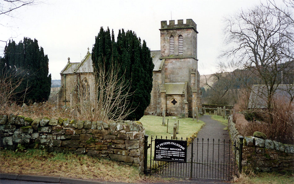
Falstone

Falstone is a small village in Northumberland, England, just east of Kielder Water. The village is 8 miles (13 km) from the Anglo–Scottish border. The...

Falstone railway station

Falstone railway station is a former railway station that served the hamlet of Falstone, in Northumberland, England. == History == The station was on the...

Thorneyburn

Thorneyburn is a village and former civil parish, now in the parish of Tarset, in Northumberland, England, to the northwest of Bellingham. In 1951 the...

Falstone Bridge

Falstone Bridge is a stone bridge across the River North Tyne at Falstone in Northumberland. == History == The bridge, which has three stone arches, was...

Plashetts

Plashetts is a small settlement in Northumberland, in England south east of Kielder, Northumberland. It is about 22 miles (35 km) north west of Hexham...

Have you been to Peat Knowe?

Leave your review of Peat Knowe below (or comments, questions and feedback).