Philip's Hill
Hill, Mountain in Cheshire
England
Philip's Hill
Philip's Hill is a prominent geographical feature located in the county of Cheshire, England. Situated in the Peak District National Park, it is part of the Pennines, a range of hills and mountains stretching across northern England. Rising to an elevation of approximately 1,365 feet (416 meters), Philip's Hill offers stunning panoramic views of the surrounding countryside.
The hill is composed of millstone grit, a coarse-grained sandstone that gives it a rugged and distinctive appearance. Its slopes are covered in heather and grasses, creating a picturesque landscape that changes with the seasons. The hill is a popular destination for hikers, nature enthusiasts, and photographers, who are drawn to its natural beauty and tranquility.
At the summit of Philip's Hill, there is a trig point, a concrete pillar that serves as a navigational marker. It provides a strategic viewpoint for surveying the surrounding area and is often used by walkers as a reference point. On clear days, it is possible to see as far as the Welsh mountains to the west and the Pennine hills to the east.
The hill is also home to a variety of wildlife, including birds such as curlews, grouse, and peregrine falcons. Rare plant species can be found in the hill's rocky crevices, adding to its ecological significance.
Philip's Hill is easily accessible by foot, with several footpaths leading to its summit from nearby villages. Whether for a challenging hike or a leisurely stroll, visitors to Philip's Hill can enjoy the beauty and tranquility of this natural landmark in the heart of Cheshire.
If you have any feedback on the listing, please let us know in the comments section below.
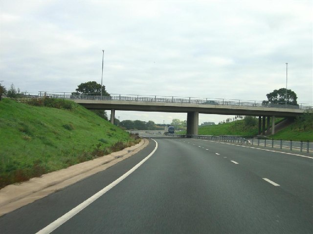
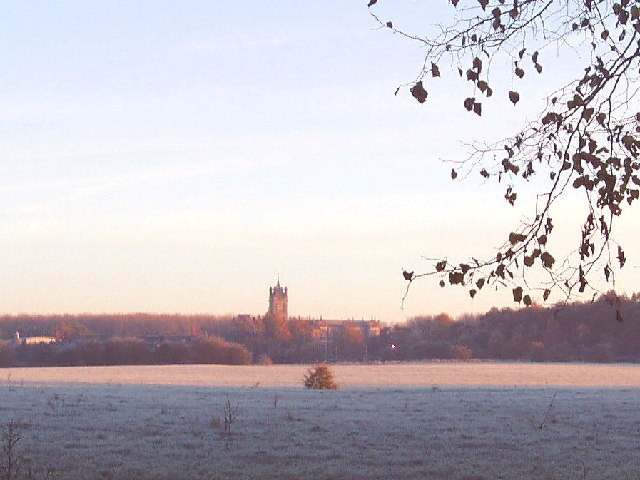
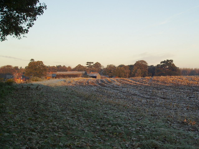
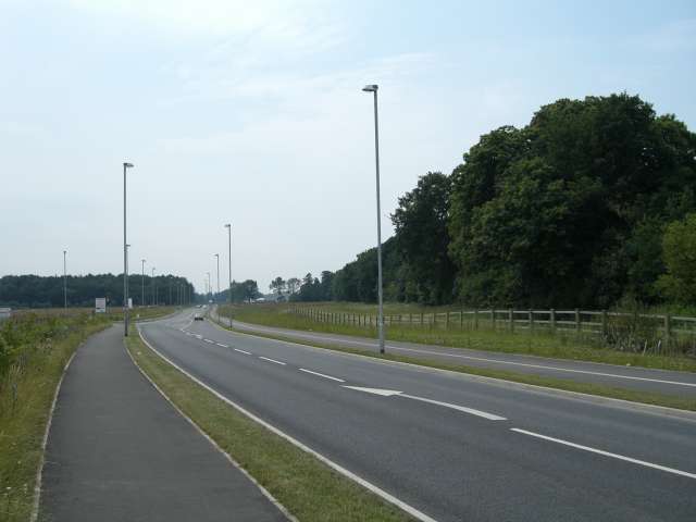
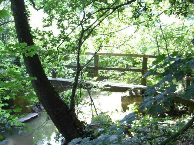
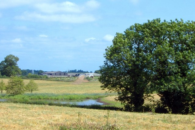
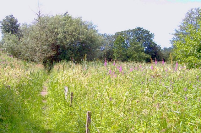
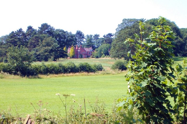
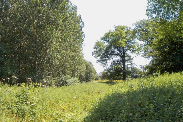
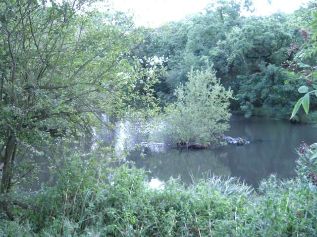
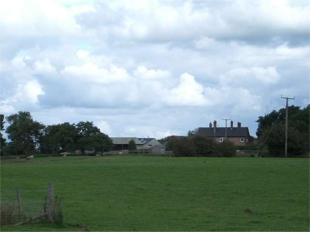
Philip's Hill Images
Images are sourced within 2km of 53.082581/-2.3899623 or Grid Reference SJ7354. Thanks to Geograph Open Source API. All images are credited.
Philip's Hill is located at Grid Ref: SJ7354 (Lat: 53.082581, Lng: -2.3899623)
Unitary Authority: Cheshire East
Police Authority: Cheshire
What 3 Words
///traps.include.diverting. Near Weston, Cheshire
Nearby Locations
Related Wikis
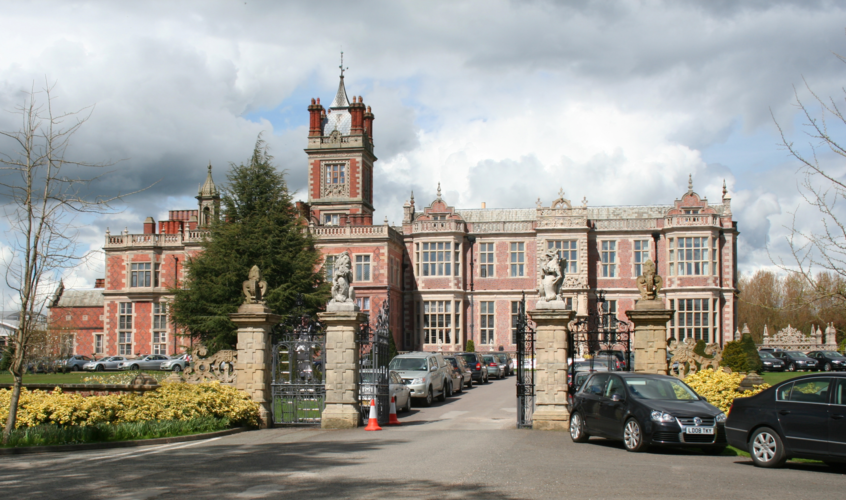
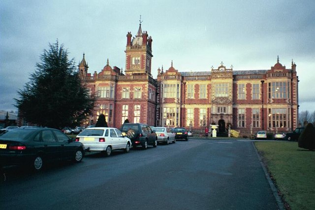
Crewe Hall
Crewe Hall is a Jacobean mansion located near Crewe Green, east of Crewe, in Cheshire, England. Described by Nikolaus Pevsner as one of the two finest...
Crewe Green
Crewe Green is a small village and former civil parish, now in the parish of Weston and Crewe Green, in the unitary authority area of Cheshire East and...

St Michael and All Angels Church, Crewe Green
St Michael and All Angels Church is in the village of Crewe Green, Cheshire, England. The church is recorded in the National Heritage List for England...
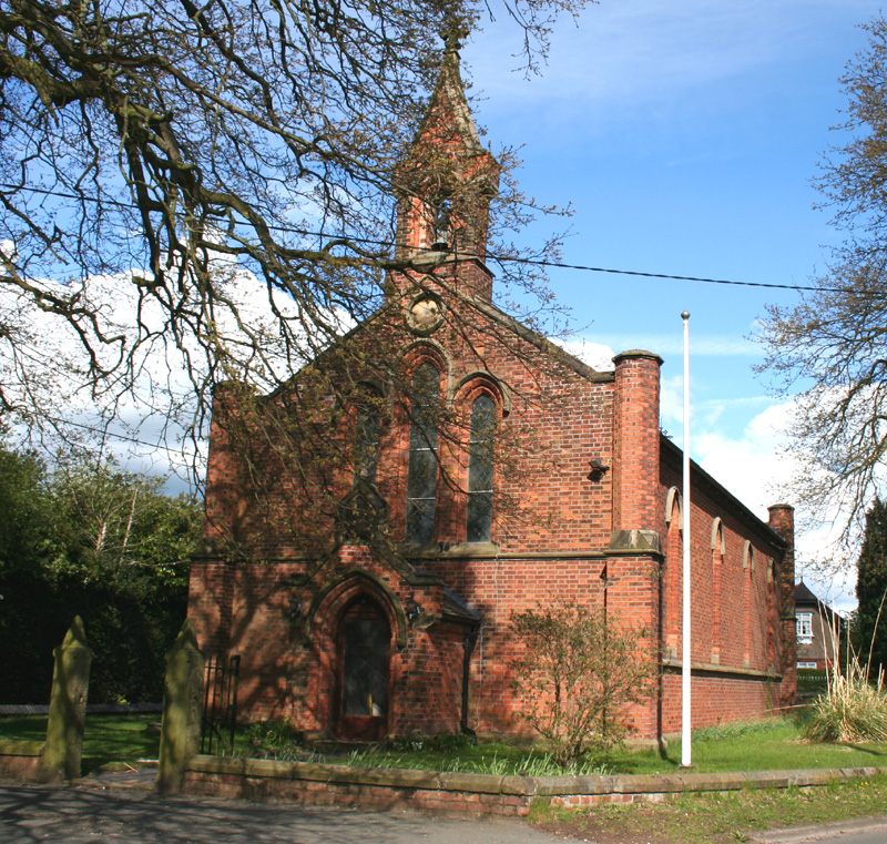
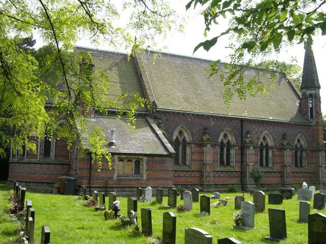
All Saints' Church, Weston, Cheshire
All Saints' Church is in Main Road, Weston, Cheshire, England. It is an active Anglican parish church in the deanery of Nantwich, the archdeaconry of...

Haslington
Haslington is a village and civil parish in the unitary authority of Cheshire East and the ceremonial county of Cheshire, England. It lies about 2 miles...
Weston, Cheshire East
Weston is a village (at SJ730522) and former civil parish, now in the parish of Weston and Crewe Green, in the unitary authority area of Cheshire East...

St Matthew's Church, Haslington
St Matthew's Church is in the village of Haslington, Cheshire, England. The church is recorded in the National Heritage List for England as a designated...
Haslington Hall
Haslington Hall is a country house located in open countryside 1 km east of the village of Haslington, Cheshire, England. It is recorded in the National...
Nearby Amenities
Located within 500m of 53.082581,-2.3899623Have you been to Philip's Hill?
Leave your review of Philip's Hill below (or comments, questions and feedback).