Caverton Hill
Hill, Mountain in Roxburghshire
Scotland
Caverton Hill
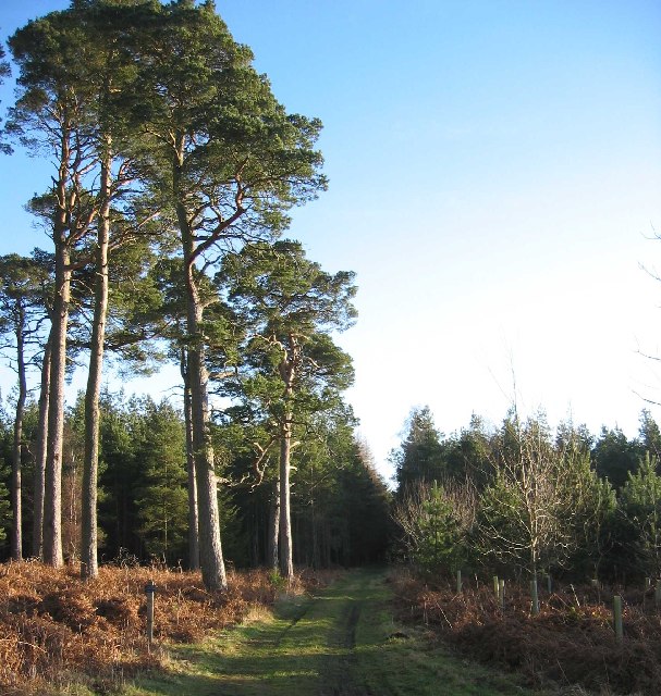
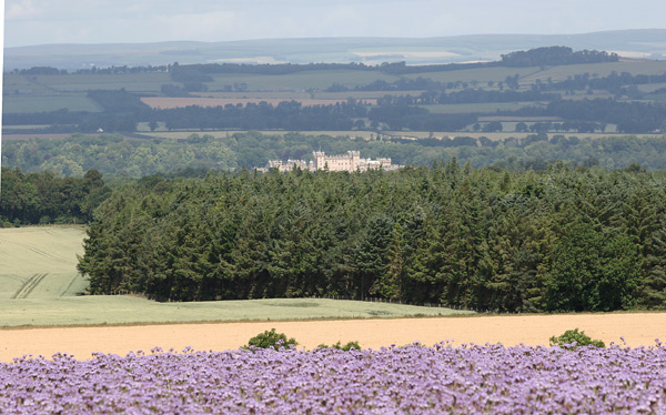
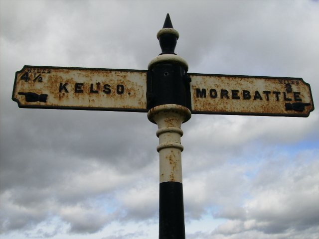
Caverton Hill is a prominent hill located in the southern region of Roxburghshire, Scotland. Standing at an elevation of approximately 256 meters (840 feet), it is often regarded as a notable landmark in the area. The hill is situated just a few kilometers northwest of the village of Eckford, offering breathtaking views of the surrounding countryside.
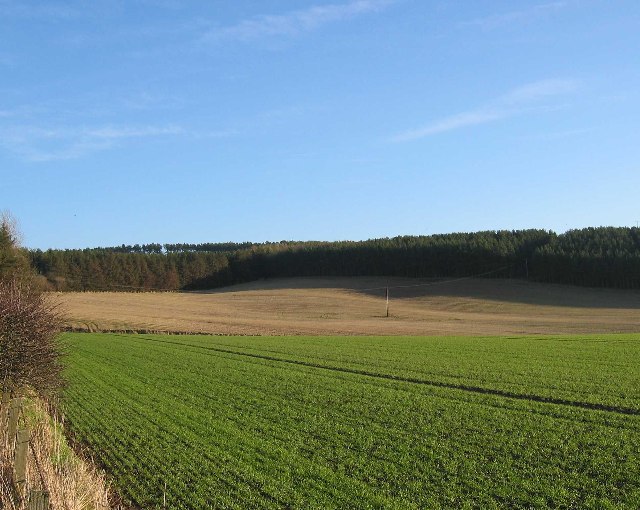
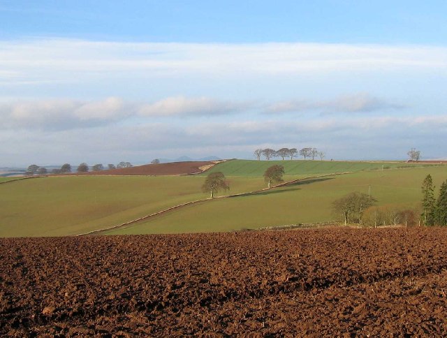
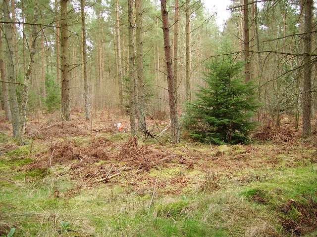
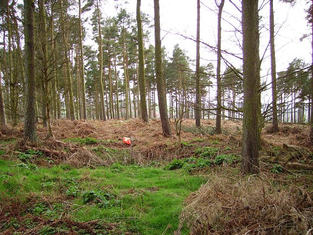
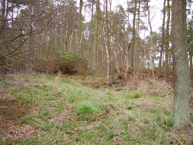
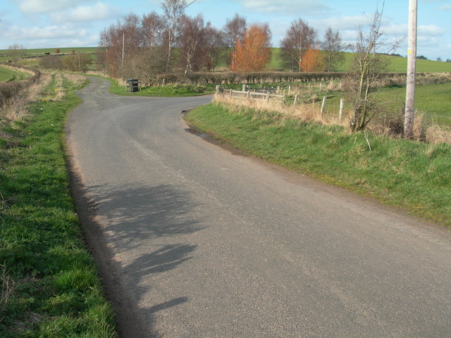
The terrain of Caverton Hill is predominantly characterized by grassy slopes, with some areas featuring rocky outcrops. It is a popular destination for hikers and outdoor enthusiasts, attracting visitors year-round. The hill is easily accessible via a well-maintained footpath, making it an ideal spot for leisurely walks or more challenging treks.
At the summit of Caverton Hill, one can enjoy panoramic vistas of the rolling hills and valleys of Roxburghshire. On clear days, it is possible to see as far as the distant Cheviot Hills and the Scottish Borders. The hill is also home to a variety of wildlife, including birds of prey, such as buzzards and kestrels, which can often be spotted soaring overhead.
Caverton Hill holds historical significance as well. It is believed to have been an Iron Age fortification, with remnants of an ancient hillfort still visible at the top. Archaeological investigations have uncovered evidence of human occupation dating back thousands of years, adding to the intrigue and allure of the site.
Overall, Caverton Hill offers a captivating blend of natural beauty, historical interest, and outdoor recreational opportunities, making it a must-visit destination for those exploring Roxburghshire.
If you have any feedback on the listing, please let us know in the comments section below.
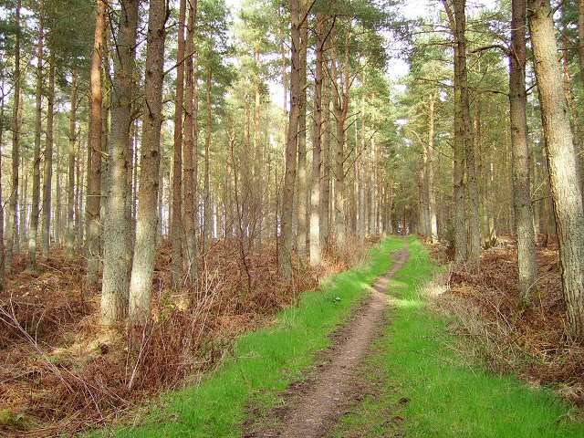
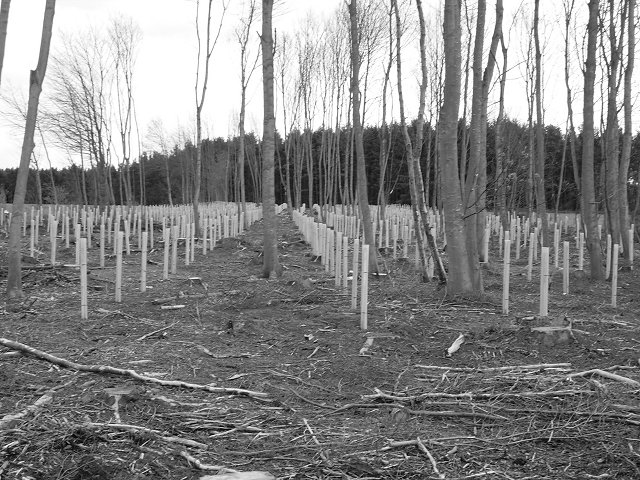
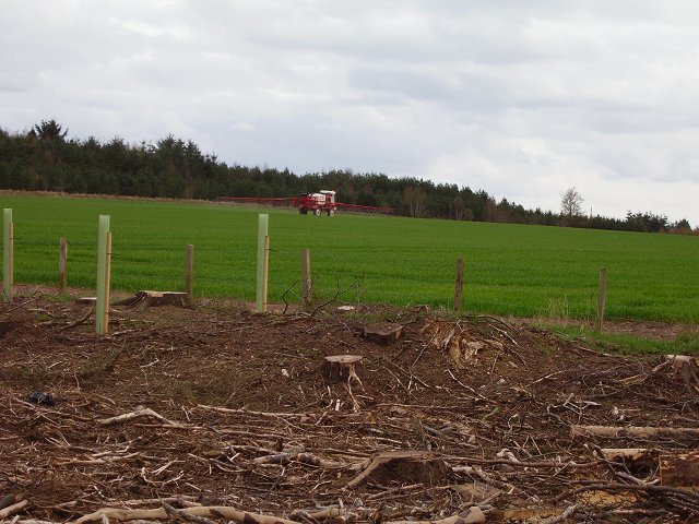
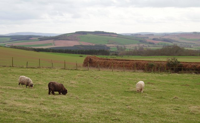
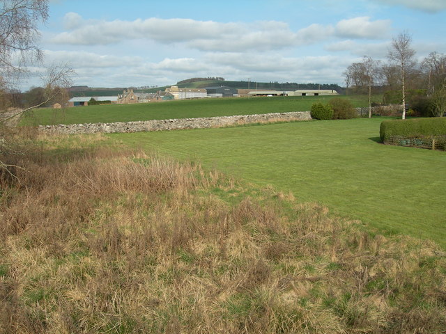
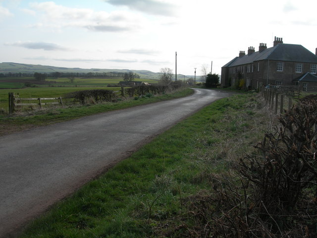
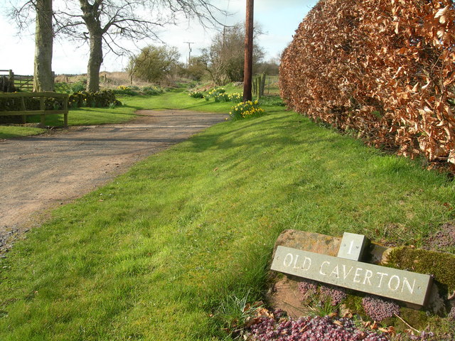
Caverton Hill Images
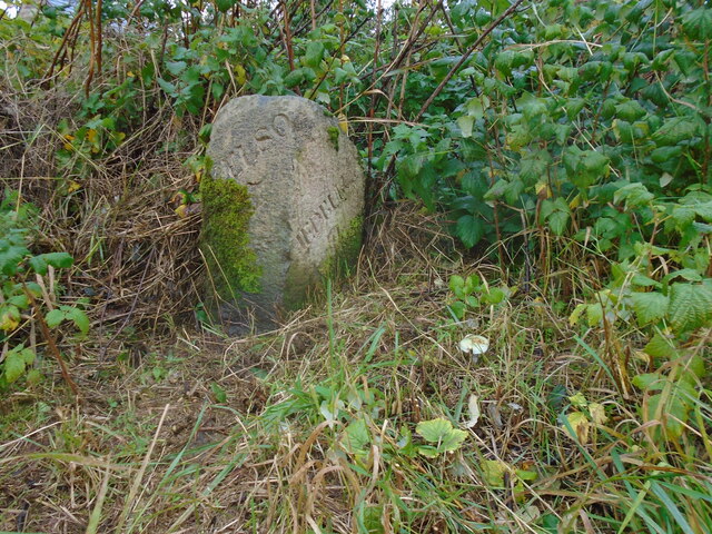
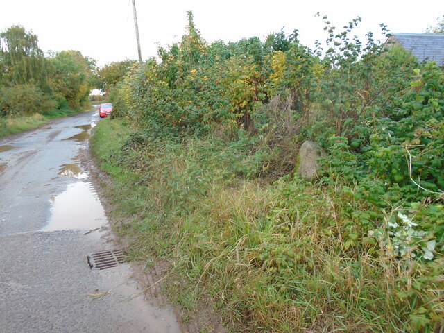
Images are sourced within 2km of 55.546266/-2.4141368 or Grid Reference NT7328. Thanks to Geograph Open Source API. All images are credited.
Caverton Hill is located at Grid Ref: NT7328 (Lat: 55.546266, Lng: -2.4141368)
Unitary Authority: The Scottish Borders
Police Authority: The Lothians and Scottish Borders
What 3 Words
///material.enjoy.operation. Near Maxwellheugh, Scottish Borders
Nearby Locations
Related Wikis

Cessford Burn
Cessford Burn is a small stream which eventually runs to meet the Kale Water and then joins the River Teviot, finally entering the River Tweed at Kelso...

Kalemouth
Kalemouth is a place in the Scottish Borders area of Scotland, where the Kale Water joins the River Teviot, near to Eckford, Cessford, Crailing, Kelso...

Kale Water
The Kale Water is a 20 miles (32 km) long tributary of the River Teviot in the Scottish Borders area of Scotland. Its feeder burns in the Cheviot Hills...

Eckford, Scottish Borders
Eckford is a small village located between the larger towns of Kelso and Jedburgh in the Scottish Borders. The village is in close proximity to both the...
Nearby Amenities
Located within 500m of 55.546266,-2.4141368Have you been to Caverton Hill?
Leave your review of Caverton Hill below (or comments, questions and feedback).