Puleston Hill

Hill, Mountain in Shropshire

England

Puleston Hill

Chetwynd Grange Farmland Looking from near the lay by on the A41.
Chetwynd Grange Farmland Credit: Ian Rob

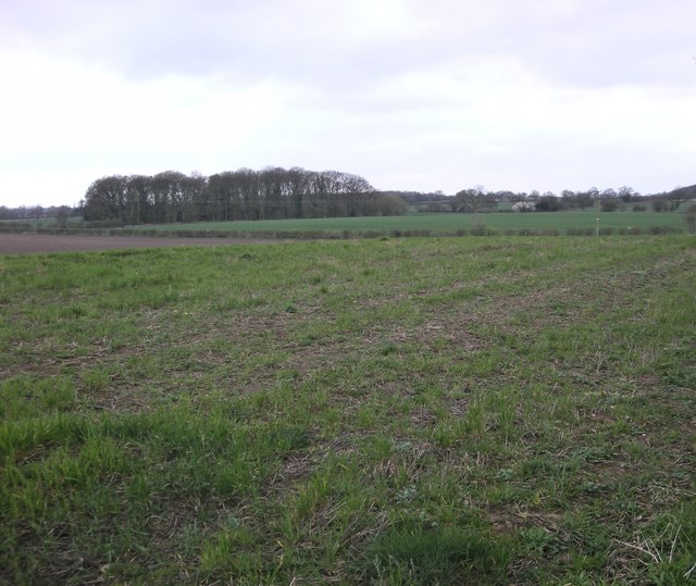
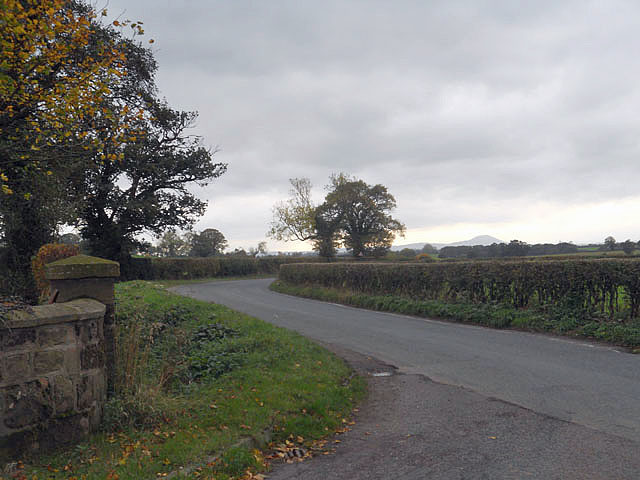
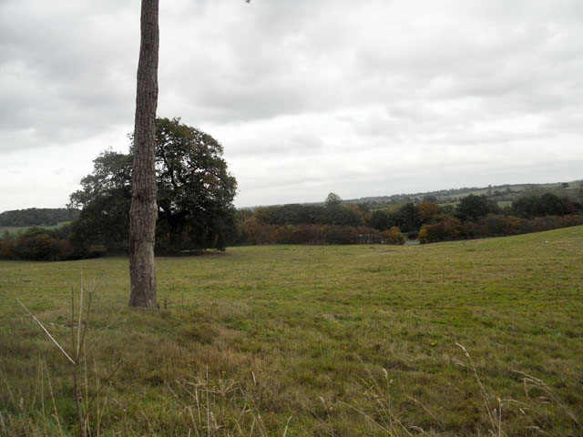
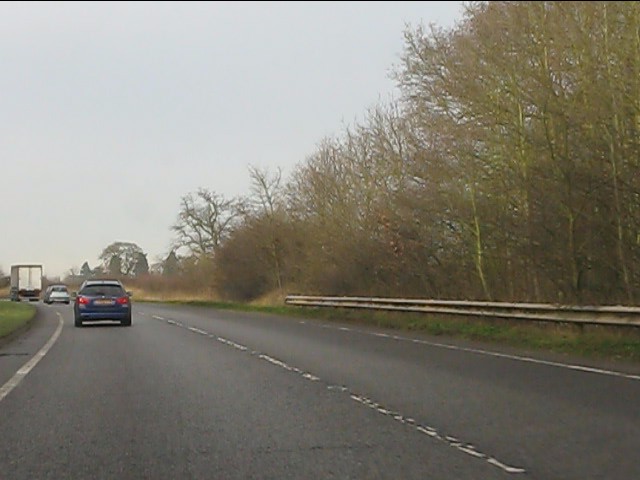
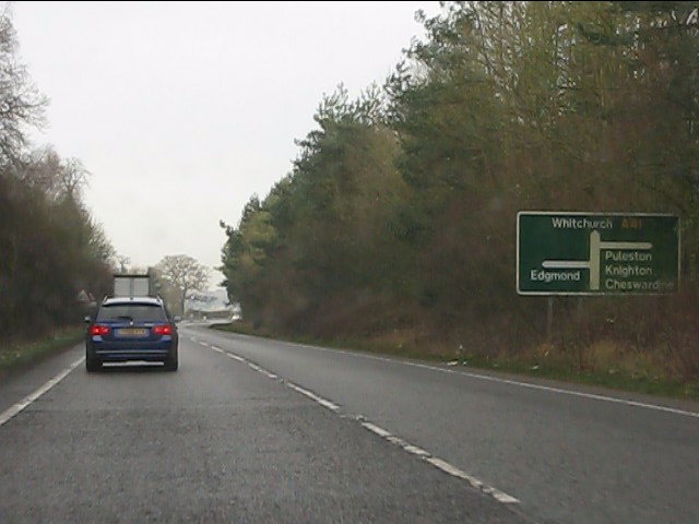
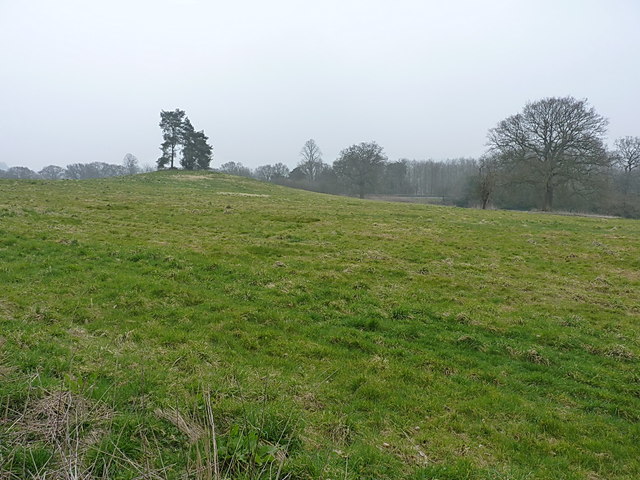
Puleston Hill is a prominent hill located in Shropshire, England. It is situated near the village of Hodnet, approximately 20 miles northeast of Shrewsbury. With an elevation of around 250 meters (820 feet), it is considered one of the highest points in the county.

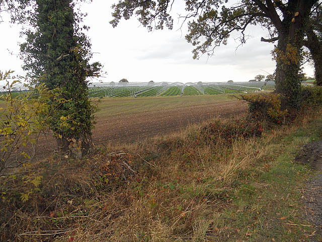
The hill is part of the larger Shropshire Hills Area of Outstanding Natural Beauty, renowned for its stunning landscapes and diverse wildlife. Puleston Hill offers breathtaking panoramic views of the surrounding countryside, making it a popular destination for hikers, nature enthusiasts, and photographers.

The hill is characterized by its gently sloping sides and a distinct summit. Its terrain mainly consists of grassy slopes, scattered with rocky outcrops and patches of woodland. The hill is home to a variety of flora and fauna, including heather, gorse, and several species of birds and butterflies.

Puleston Hill is also of historical significance, with evidence of human activity dating back to prehistoric times. There are remnants of ancient settlements and burial mounds in the vicinity, providing insights into the area's rich cultural heritage.

Visitors to Puleston Hill can enjoy a range of recreational activities, such as hiking, picnicking, and wildlife spotting. The hill is crisscrossed by a network of footpaths and trails, making it accessible for both casual walkers and more experienced hikers.

Overall, Puleston Hill offers a serene and picturesque escape into nature, providing visitors with a memorable experience of Shropshire's natural beauty and historical heritage.

If you have any feedback on the listing, please let us know in the comments section below.

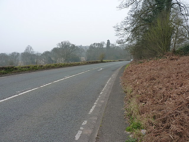
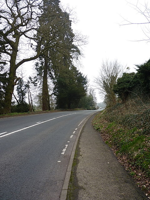
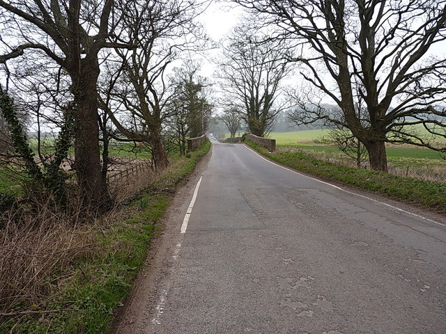
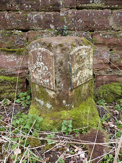
Puleston Hill Images

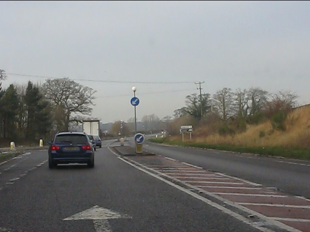
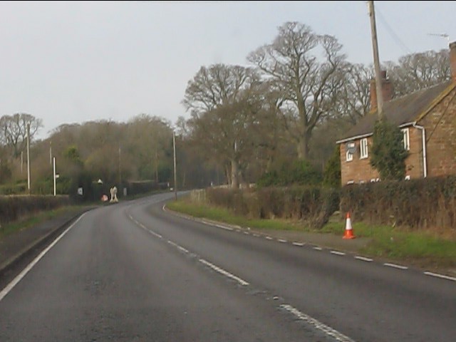
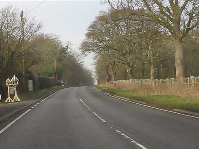
Images are sourced within 2km of 52.800459/-2.3876548 or Grid Reference SJ7322. Thanks to Geograph Open Source API. All images are credited.

Chetwynd Grange Farmland Looking from near the lay by on the A41.
Chetwynd Grange Farmland
Looking from near the lay by on the A41.
Pickstock - redundant telephone kiosk
National Cycle Route 75 meets the A41
Protected from the winter
Lane near Puleston
Lane near Puleston
Just north of Newport
A41 near Chetwynd Park Armco barriers reveal the presence of an embankment otherwise hidden by trees.
A41 near Chetwynd Park
Armco barriers reveal the presence of an embankment otherwise hidden by trees.
A41 approaching the junctions at Chetwynd Park The junction sign is placed on the right to be visible from the lengthy left-hand curve before it.
A41 approaching the junctions at Chetwynd Park
The junction sign is placed on the right to be visible from the lengthy left-hand curve before it.
A41 at the junctions for Chetwynd
A41 near New House
A41 near New House
A41 at the isolated cottage near Lane End
A41 at Lane End Farm
Between two A41s A narrowing triangle of farmland is enclosed by the old and new A41 main roads north to Chester; they merge just half a mile north of here at Chetwynd Park.
Between two A41s
A narrowing triangle of farmland is enclosed by the old and new A41 main roads north to Chester; they merge just half a mile north of here at Chetwynd Park.
The former A41 road into Newport It's now superseded by the much wider (and faster) road to its west, but this was once the former coach route from London to Liverpool.
The former A41 road into Newport
It's now superseded by the much wider (and faster) road to its west, but this was once the former coach route from London to Liverpool.
The old A41 road Part of the old coach route and A41, now superseded by the wider and faster Newport bypass to the east.
The old A41 road
Part of the old coach route and A41, now superseded by the wider and faster Newport bypass to the east.
Puleston Bridge The old stone bridge carries the lane to Knighton over the River Meese. Its eastern parapet is also, allegedly, the location of an OS pivot mark (much like a conventional benchmark), but I failed to find this.
Puleston Bridge
The old stone bridge carries the lane to Knighton over the River Meese. Its eastern parapet is also, allegedly, the location of an OS pivot mark (much like a conventional benchmark), but I failed to find this.
Old milestone, Chetwynd Road On the former coaching route between London and Chester, a sandstone milestone with iron mileage plates attached. Newport 1 mile, Chester 39 from here. There is an OS surveying benchmark and rivet on the top surface <a href="https://www.geograph.org.uk/photo/3898828">SJ7420 : OS benchmark & rivet, Chetwynd milestone</a>
Old milestone, Chetwynd Road
On the former coaching route between London and Chester, a sandstone milestone with iron mileage plates attached. Newport 1 mile, Chester 39 from here. There is an OS surveying benchmark and rivet on the top surface SJ7420 : OS benchmark & rivet, Chetwynd milestone
OS benchmark & rivet, Chetwynd milestone On the upper surface of the <a href="https://www.geograph.org.uk/photo/3898820">SJ7420 : Old milestone, Chetwynd Road</a>, an OS cutmark and rivet that were originally levelled at 73.295m above Ordnance Datum Newlyn.
OS benchmark & rivet, Chetwynd milestone
On the upper surface of the SJ7420 : Old milestone, Chetwynd Road, an OS cutmark and rivet that were originally levelled at 73.295m above Ordnance Datum Newlyn.
Show me another place!

Puleston Hill is located at Grid Ref: SJ7322 (Lat: 52.800459, Lng: -2.3876548)

Unitary Authority: Telford and Wrekin

Police Authority: West Mercia

What 3 Words

///walks.lump.sniff. Near Chetwynd, Shropshire

Related Wikis

Chetwynd Park

Chetwynd Park is an 18th-century landscape garden with woodland, on the edge of Newport, Shropshire. The park can trace its history back to 1388, when...

Chetwynd Park estate

The Chetwynd Park estate lies in the small village of Chetwynd on the outskirts of the town of Newport, Shropshire, England. The estate is positioned in...

Pickstock

Pickstock is a hamlet in the civil parish of Chetwynd, in the Telford and Wrekin district, in the ceremonial county of Shropshire, England. It is near...

Chetwynd, Shropshire

Chetwynd is a rural civil parish just to the north of Newport, Shropshire in England. Although the parish contains no substantial nucleated settlements...

Nearby Amenities

Located within 500m of 52.800459,-2.3876548
Puleston Hill
Ele: 118
Natural: peak
Lat/Long: 52.8002725/-2.3877262
The data included in this document is from www.openstreetmap.org. The data is made available under ODbL.

Have you been to Puleston Hill?

Leave your review of Puleston Hill below (or comments, questions and feedback).