Iwade
Settlement in Kent Swale
England
Iwade
Iwade is a village located in the county of Kent, in the southeast region of England. Situated just a few miles northeast of the town of Sittingbourne, Iwade is a relatively small settlement with a population of around 5,000 residents.
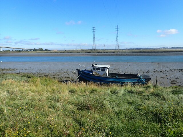
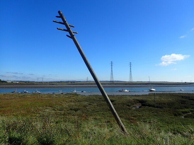
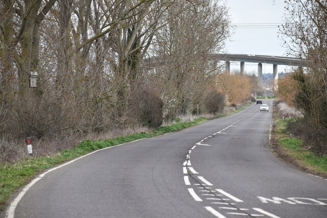
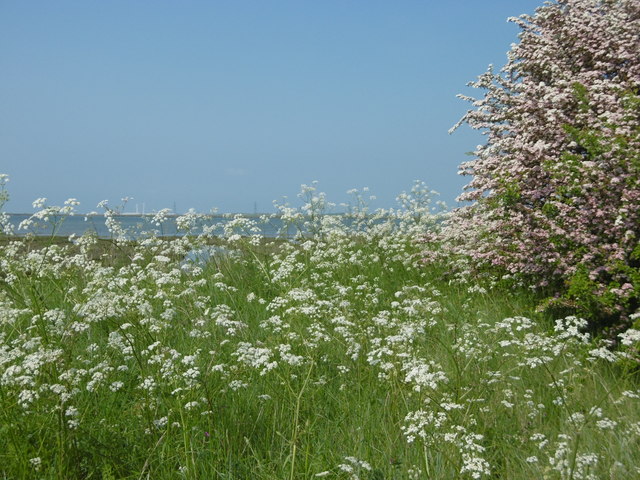
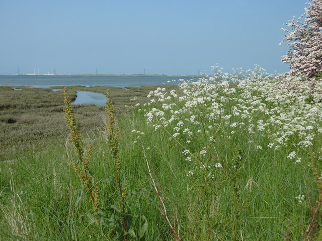
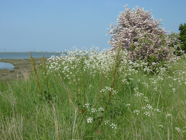
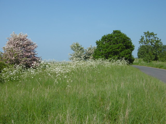
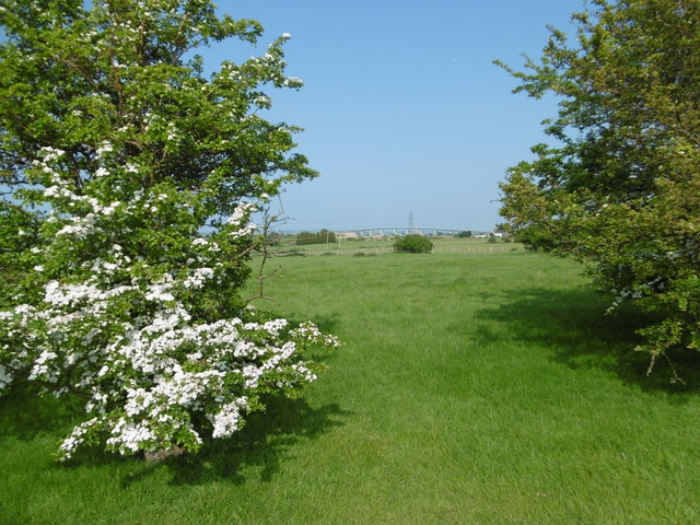
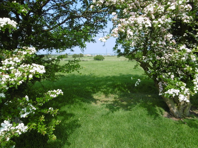
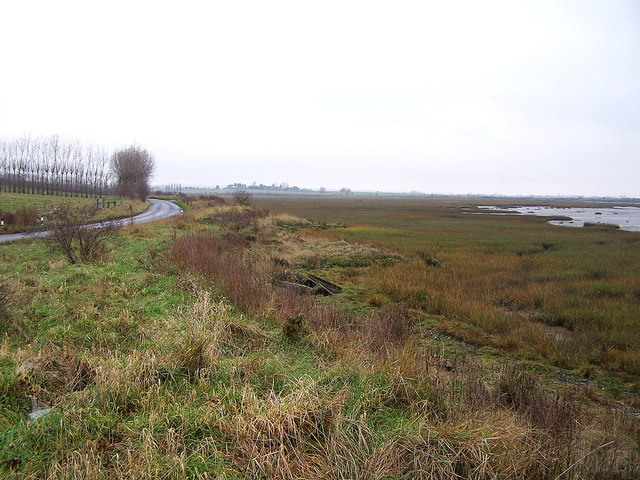
The village is surrounded by picturesque countryside, with lush green fields and farmland dominating the landscape. The nearby Swale River flows to the north of Iwade, providing a tranquil setting for residents and visitors to enjoy.
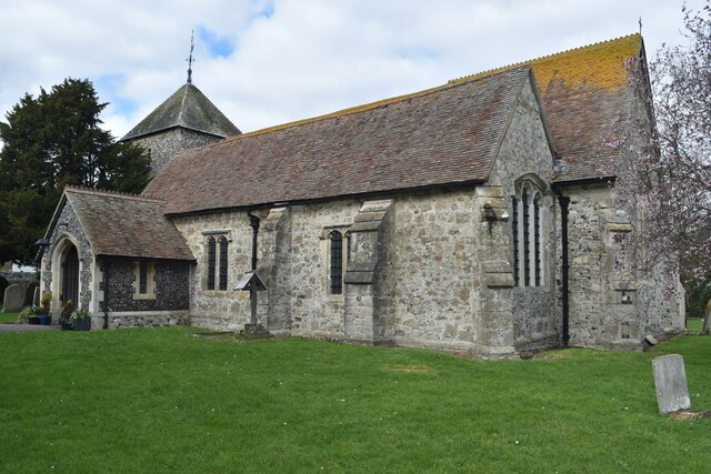
Iwade has a rich history that dates back centuries, with evidence of human activity in the area dating back to the Roman era. The village was mentioned in the Domesday Book of 1086, highlighting its significance during the medieval period.
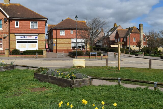
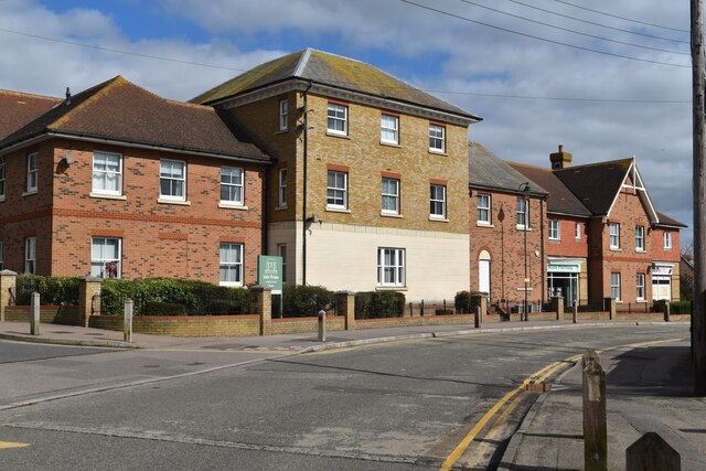
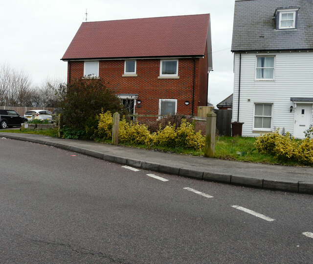
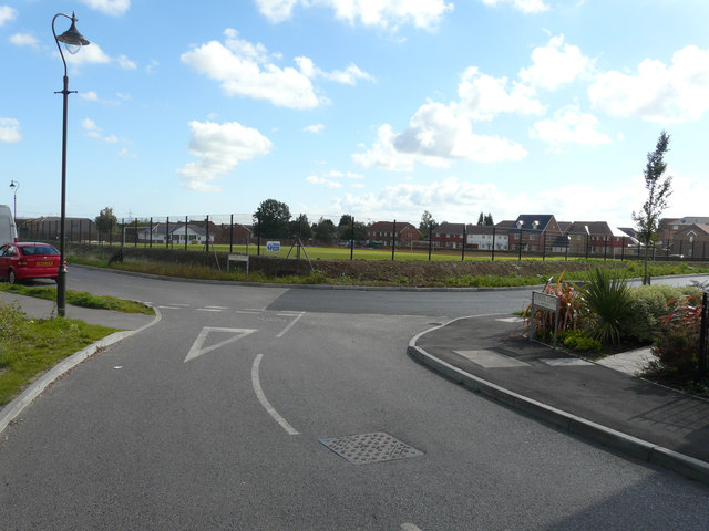
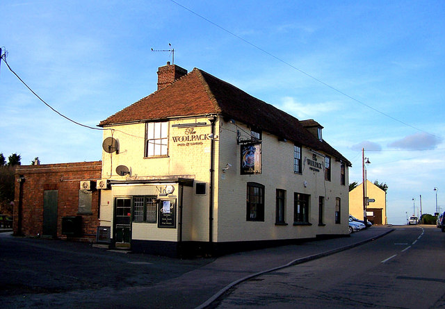
Today, Iwade is a thriving community with a range of amenities and facilities to cater to its residents. The village boasts a primary school, a community center, a doctor's surgery, and a local convenience store, ensuring that basic needs are met within the village itself. Additionally, there are several pubs and restaurants, offering a variety of dining and socializing options for locals and visitors alike.
The village benefits from its proximity to Sittingbourne, which provides further amenities and transport links to the wider region. The M2 motorway is also easily accessible from Iwade, allowing for convenient travel to other parts of Kent and beyond.
Overall, Iwade is a charming village that combines rural tranquility with convenient access to nearby towns and amenities, making it an attractive place to live and visit.
If you have any feedback on the listing, please let us know in the comments section below.
Iwade Images
Images are sourced within 2km of 51.377007/0.729482 or Grid Reference TQ9067. Thanks to Geograph Open Source API. All images are credited.

Iwade is located at Grid Ref: TQ9067 (Lat: 51.377007, Lng: 0.729482)
Administrative County: Kent
District: Swale
Police Authority: Kent
What 3 Words
///onto.makeup.woes. Near Iwade, Kent
Nearby Locations
Related Wikis
Iwade
Iwade is a village and civil parish 2 miles (3.2 km) north of the town of Sittingbourne in the English county of Kent. == History == Iwade was established...

Ridham Dock
Ridham Dock is a dock on The Swale in the English county of Kent. It is located in the parish of Iwade around 4 miles (6.4 km) north of Sittingbourne....
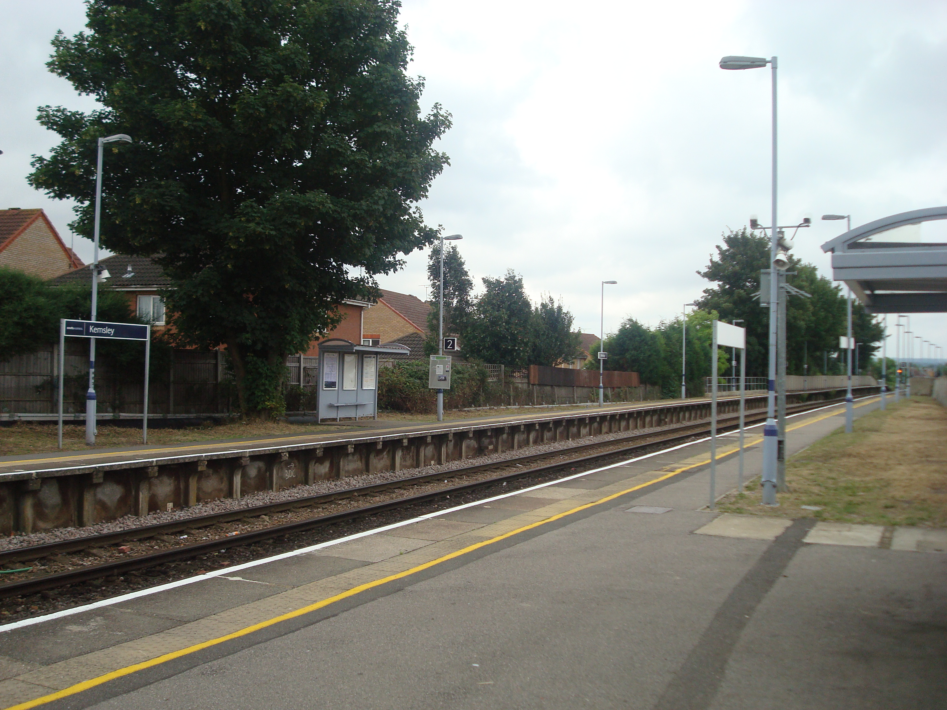
Kemsley railway station
Kemsley railway station is on the Sheerness Line in north Kent, England, and serves the village of Kemsley. It is 45 miles 20 chains (72.8 km) down the...
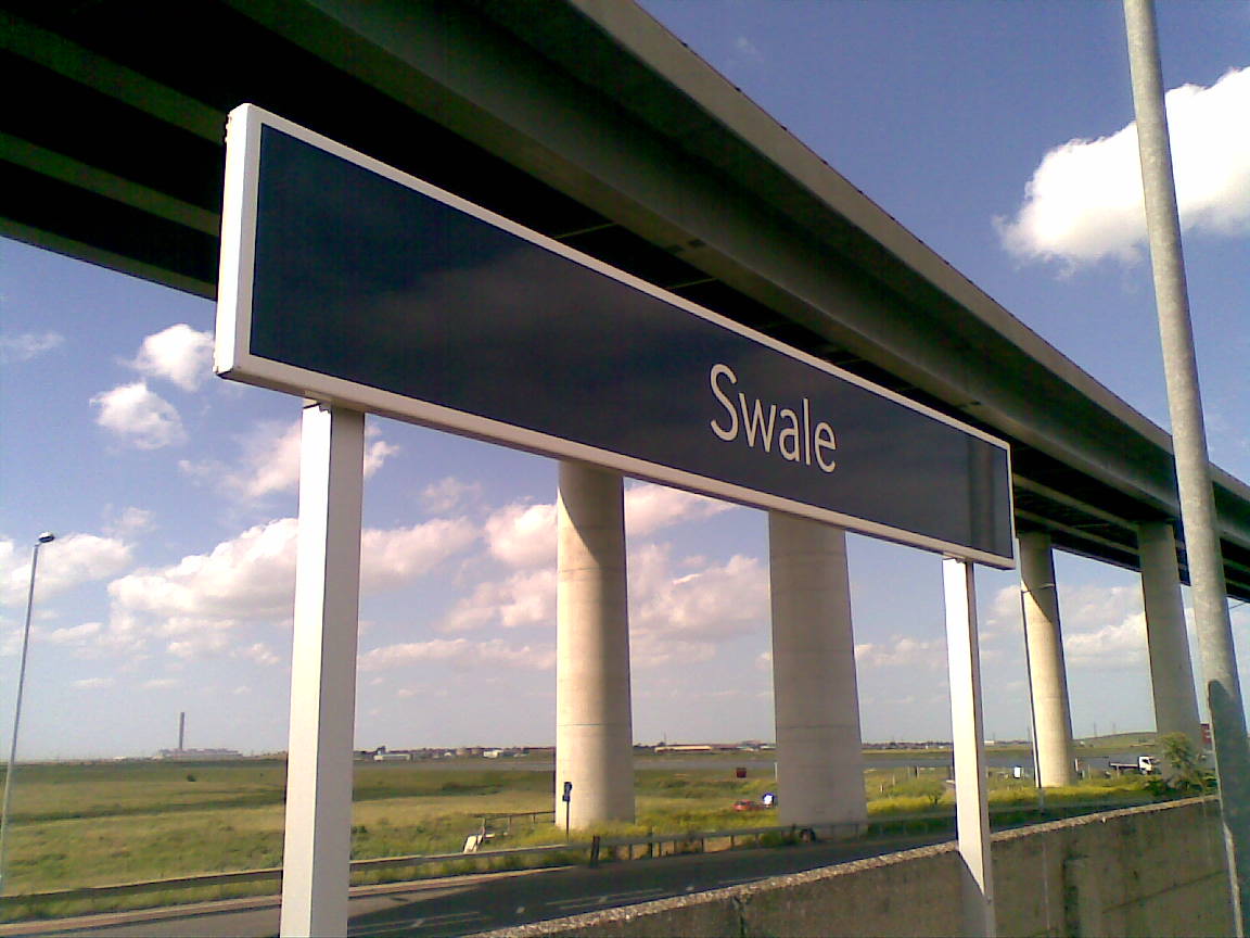
Swale railway station
Swale railway station is in north Kent, England, on the Sheerness Line 47 miles 15 chains (75.9 km) from London Victoria, at the southern end of the Kingsferry...

Kemsley
Kemsley, once a separate village, is now a suburb of Sittingbourne in Kent, England. According to Asserius Menevensis in his contemporary survey, the Danes...
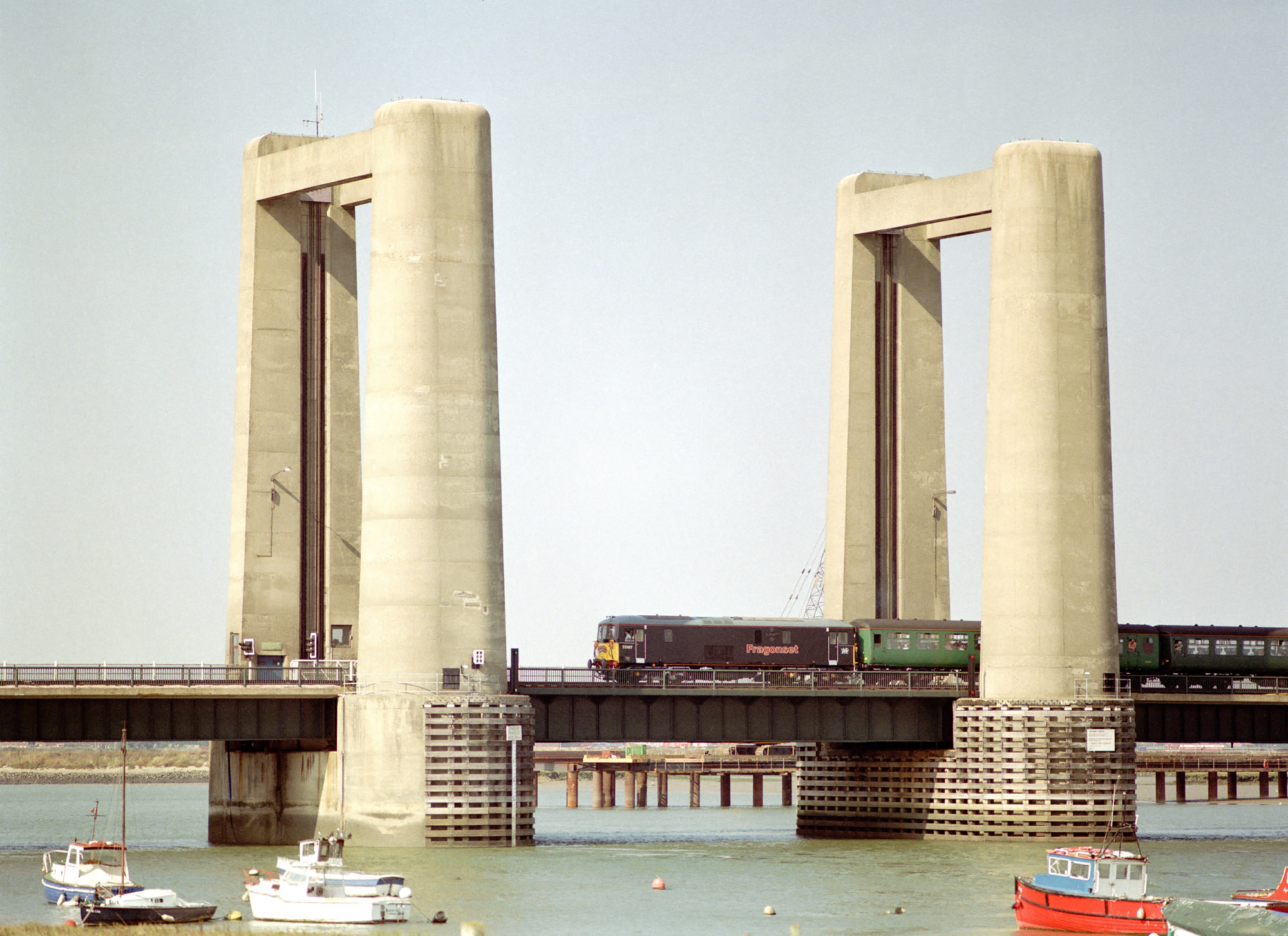
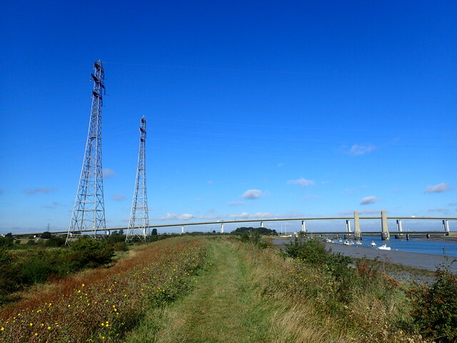
Kingsferry Bridge
The Kingsferry Bridge is a combined road and railway vertical-lift bridge which connects the Isle of Sheppey to mainland Kent in South East England. The...

Kemsley Paper Mill
Kemsley Paper Mill is a paper mill located in the village of Kemsley near Sittingbourne in the English county of Kent. == Sittingbourne Paper Mill == Paper...
Funton
Funton is a location in Kent, United Kingdom. It is a creek situated on the edge of the North Kent Marshes on the right bank of the River Medway about...
Nearby Amenities
Located within 500m of 51.377007,0.729482Have you been to Iwade?
Leave your review of Iwade below (or comments, questions and feedback).