Iwerne Courtney

Settlement in Dorset

England

Iwerne Courtney

Smuggler's Lane The Stepleton end where it becomes a holloway.
Smuggler's Lane Credit: Richard Webb

The requested URL returned error: 429 Too Many Requests

If you have any feedback on the listing, please let us know in the comments section below.

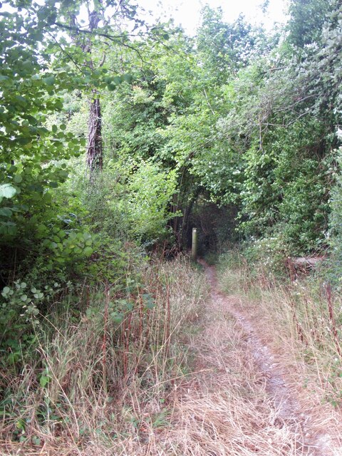
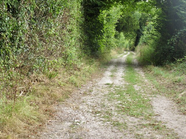
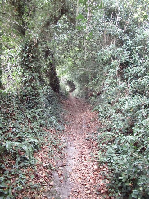
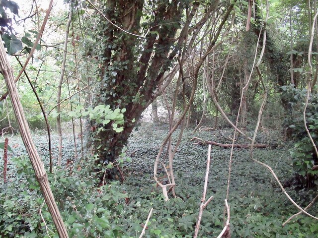
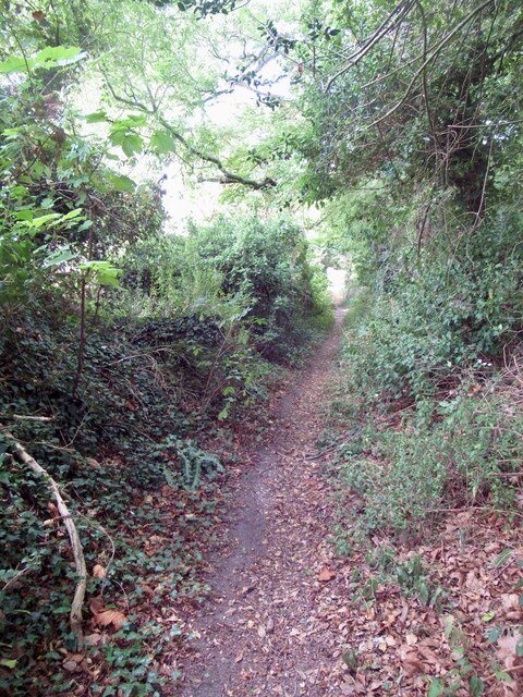
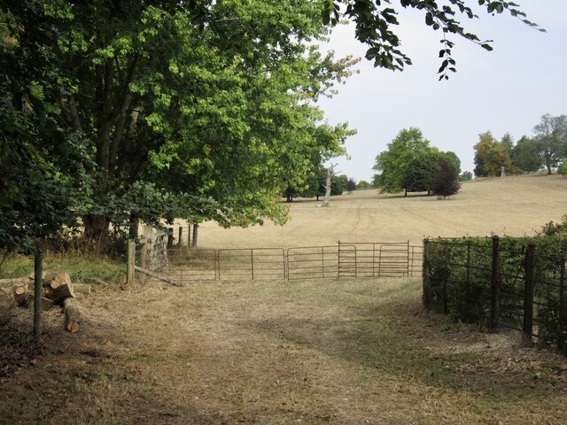
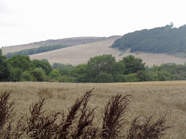
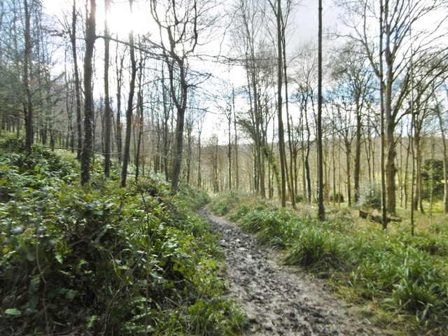
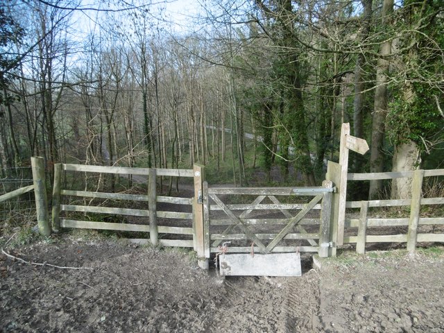
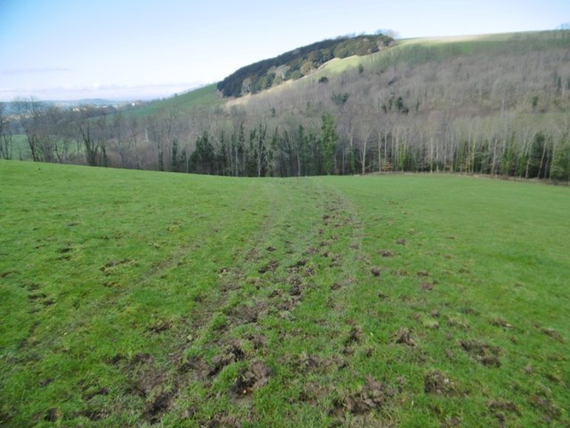
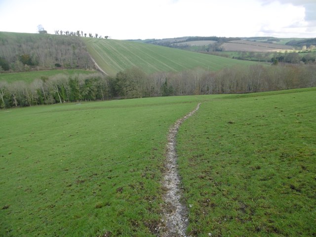
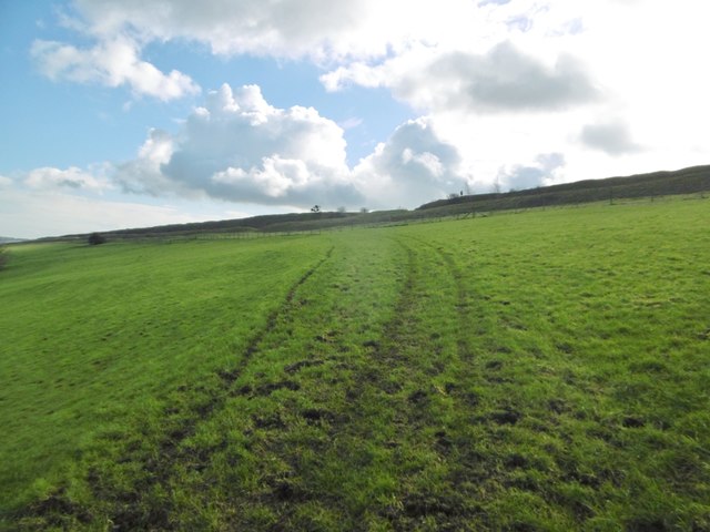
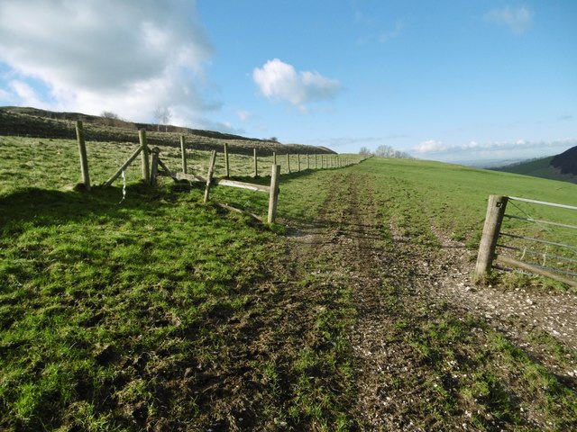
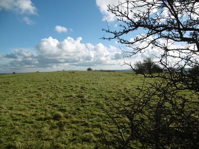
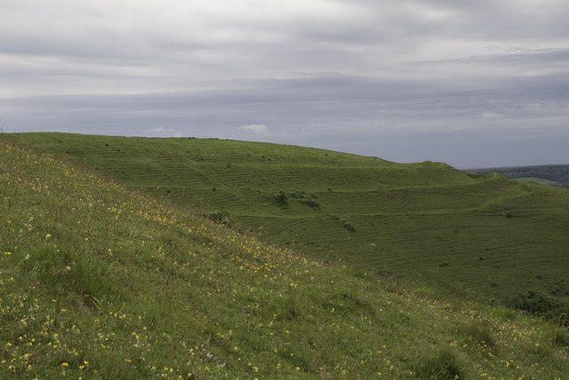
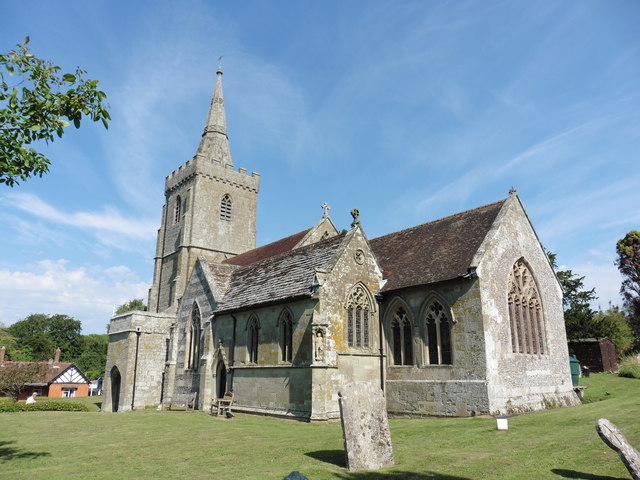
Iwerne Courtney Images

Images are sourced within 2km of 50.913978/-2.2011257 or Grid Reference ST8512. Thanks to Geograph Open Source API. All images are credited.

Smuggler's Lane The Stepleton end where it becomes a holloway.
Smuggler's Lane
The Stepleton end where it becomes a holloway.
Smuggler's Lane
Smuggler's Lane
Smuggler's Lane The descent past Stepleton is a holloway.
Smuggler's Lane
The descent past Stepleton is a holloway.
A shrubbery! Stepleton Shrubbery, a small woodland.
A shrubbery!
Stepleton Shrubbery, a small woodland.
The western end of Smuggler's Lane
Parched field, Stepleton
Hambledon Hill View from the Stour floodplain.
Hambledon Hill
View from the Stour floodplain.
Hanford, Nutcombe Wood On the lower slopes of Hod Hill.
Hanford, Nutcombe Wood
On the lower slopes of Hod Hill.
Hanford, gate On the bridleway from Hod Hill to the Child Okeford road.
Hanford, gate
On the bridleway from Hod Hill to the Child Okeford road.
Hod Hill, bridleway From the hill to Nutcombe Wood; not shown as bridleway on OS, but with track marks and plenty of churned-up hoof prints.
Hod Hill, bridleway
From the hill to Nutcombe Wood; not shown as bridleway on OS, but with track marks and plenty of churned-up hoof prints.
Hod Hill, bridleway One of two routes from the hill to the Child Okeford road; this route is on the Stour Valley Way.
Hod Hill, bridleway
One of two routes from the hill to the Child Okeford road; this route is on the Stour Valley Way.
Hod Hill, bridleway From the Child Okeford road to the hill; not shown as bridleway on OS, but track marks and hoof prints show it is used as such.
Hod Hill, bridleway
From the Child Okeford road to the hill; not shown as bridleway on OS, but track marks and hoof prints show it is used as such.
Hod Hill, gate On the informal bridleway from the hill to Nutcombe Wood; the outer embankment of the Iron Age hillfort to the left.
Hod Hill, gate
On the informal bridleway from the hill to Nutcombe Wood; the outer embankment of the Iron Age hillfort to the left.
Hod Hill, site of Roman fort Established from AD43, at the north-western corner of the Iron Age hillfort: <span class="nowrap"><a title="http://www.pastscape.org.uk/hob.aspx?hob_id=206122&sort=4&search=all&criteria=hod" rel="nofollow ugc noopener" href="http://www.pastscape.org.uk/hob.aspx?hob_id=206122&sort=4&search=all&criteria=hod">Link</a><img style="margin-left:2px;" alt="External link" title="External link - shift click to open in new window" src="https://s1.geograph.org.uk/img/external.png" width="10" height="10"/></span> hill&rational=q&recordsperpage=10#aRt
Hod Hill, site of Roman fort
Established from AD43, at the north-western corner of the Iron Age hillfort: LinkExternal link hill&rational=q&recordsperpage=10#aRt
Hod Hill, fence At the north-western boundary of the Iron Age hillfort (rampart and ditch, right). <span class="nowrap"><a title="http://www.nationaltrust.org.uk/hod-hill" rel="nofollow ugc noopener" href="http://www.nationaltrust.org.uk/hod-hill">Link</a><img style="margin-left:2px;" alt="External link" title="External link - shift click to open in new window" src="https://s1.geograph.org.uk/img/external.png" width="10" height="10"/></span>
Hod Hill, fence
At the north-western boundary of the Iron Age hillfort (rampart and ditch, right). LinkExternal link
Hambledon Hill Fort This is an area of chalk downland, ideal for chalk-loving butterflies such as the Adonis Blue and Chalkhill Blue.
Hambledon Hill Fort
This is an area of chalk downland, ideal for chalk-loving butterflies such as the Adonis Blue and Chalkhill Blue.
Iwerne Minster, St Mary
Old Milepost by the A350, Iwerne Minster Cast iron post by the A350, in parish of IWERNE MINSTER (NORTH DORSET District), South of village, 50m South of 30mph signs, where overhead cables cross road, on North West side of road. Well hidden in roadside vegetation. Dorset 5 (limestone), erected by the Shaftesbury & New Road to Blandford turnpike trust in the 19th century. 

Inscription reads:-
BLANDFORD
6
SHAFTESBURY
6  

Milestone Society National ID: DO_BFSF06.
Old Milepost by the A350, Iwerne Minster
Cast iron post by the A350, in parish of IWERNE MINSTER (NORTH DORSET District), South of village, 50m South of 30mph signs, where overhead cables cross road, on North West side of road. Well hidden in roadside vegetation. Dorset 5 (limestone), erected by the Shaftesbury & New Road to Blandford turnpike trust in the 19th century. Inscription reads:- BLANDFORD 6 SHAFTESBURY 6 Milestone Society National ID: DO_BFSF06.
Show me another place!

Iwerne Courtney is located at Grid Ref: ST8512 (Lat: 50.913978, Lng: -2.2011257)

Unitary Authority: Dorset

Police Authority: Dorset

Also known as: Shroton

What 3 Words

///beards.tomorrow.roadways. Near Child Okeford, Dorset

Nearby Locations

Shroton Iwerne Courtney

Related Wikis

Iwerne Courtney

Iwerne Courtney (), also known as Shroton, is a village and civil parish in the English county of Dorset. It lies approximately 4 miles (6 kilometres)...

Hambledon Hill

Hambledon Hill is a prehistoric hill fort in Dorset, England, in the Blackmore Vale five miles northwest of Blandford Forum. The hill itself is a chalk...

Stepleton House

Stepleton House is a 17th-century country house in the parish of Iwerne Stepleton in Dorset, situated about 5 kilometres (3 mi) north of Blandford Forum...

Iwerne Minster

Iwerne Minster ( YOO-ern) is a village and civil parish in Dorset, England. It lies on the edge of the Blackmore Vale, approximately midway between the...

Nearby Amenities

Located within 500m of 50.913978,-2.2011257
Pub
Cricketers
Addr Postcode: DT11 8QD
Addr Street: Main Street
Fhrs Id: 1220575
Source Addr: FHRS Open Data
Lat/Long: 50.9130858/-2.2012074
Shroton
Alt Name: Iwerne Courtney
Place: village
Wikidata: Q2207259
Lat/Long: 50.9145359/-2.202605
Material: wood
Power: pole
Source: bing
Lat/Long: 50.9107633/-2.205524
Material: wood
Power: pole
Source: bing
Lat/Long: 50.9146365/-2.2069118
Turning Circle
Lat/Long: 50.9160925/-2.2044346
Turning Loop
Lat/Long: 50.9159725/-2.2051165
Public Bookcase
Booth: K6
Disused Amenity: telephone
Man Made: telephone_box
Public Bookcase Type: phone_box
Lat/Long: 50.9150678/-2.2016083
Post Box
Operator: Royal Mail
Operator Wikidata: Q638098
Post Box Type: wall
Ref: DT11 69
Ref GB Uprn: 10015319920
Royal Cypher: GVIR
Royal Cypher Wikidata: Q33102169
Lat/Long: 50.9129076/-2.2007022
Entrance: main
Lat/Long: 50.9110054/-2.2006499
The data included in this document is from www.openstreetmap.org. The data is made available under ODbL.

Have you been to Iwerne Courtney?

Leave your review of Iwerne Courtney below (or comments, questions and feedback).