Ivychurch

Settlement in Kent Shepway

England

Ivychurch

Sign at Five Vents Bridge, nr Ivychurch This sign is located where the lane from Old Romney to St Mary in the Marsh crosses the former B2070 between New Romney and Ivychurch. Note, the totally flat nature of Romney Marsh behind.
Sign at Five Vents Bridge, nr Ivychurch Credit: Adam Colton

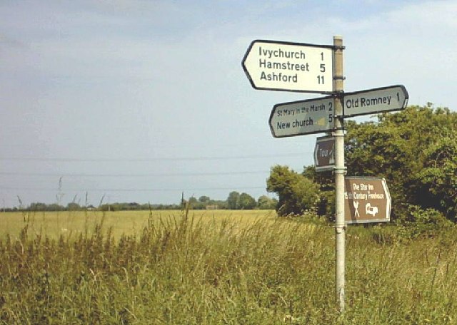
Ivychurch is a small village located in the county of Kent, England. Situated on the Romney Marsh, it is surrounded by picturesque farmland and is approximately 14 miles south of Ashford. The village is part of the Shepway district and falls within the Folkestone and Hythe parliamentary constituency.

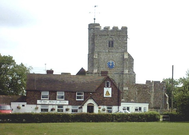
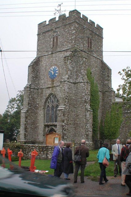
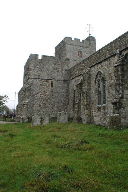
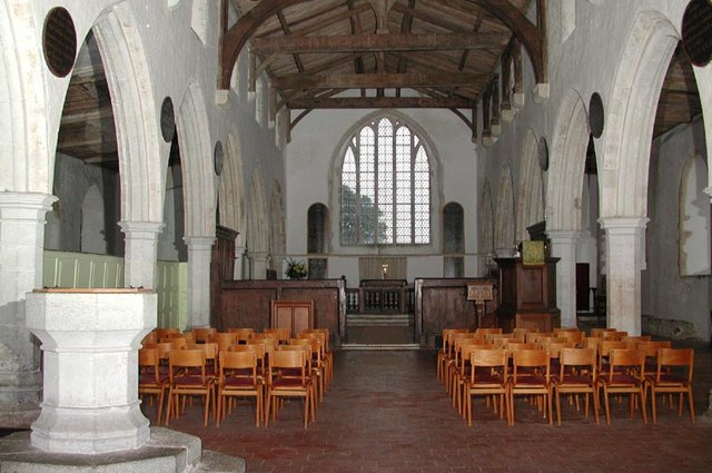
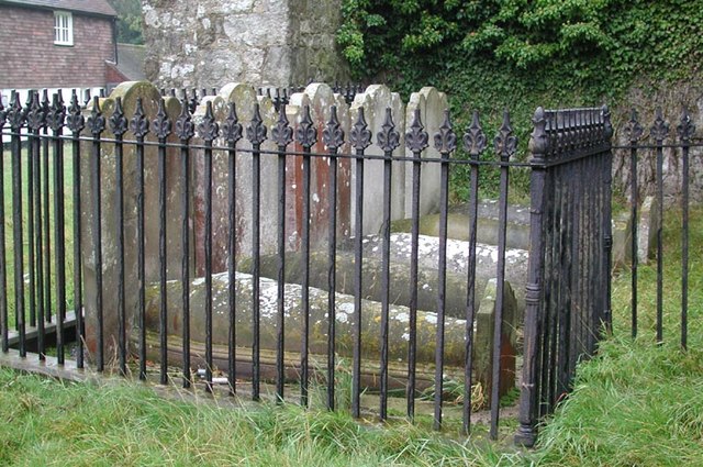
With a population of around 600 residents, Ivychurch maintains its rural charm and tranquility. The village features a mix of architectural styles, including traditional weatherboarded houses and charming thatched cottages, reflecting its historical significance. The St. George's Church, a Grade I listed building, is a prominent landmark in the village.

One of the notable attractions in Ivychurch is the nearby Romney, Hythe & Dymchurch Railway, a heritage railway that runs steam and diesel locomotives. The railway station in the village connects to various destinations along the coast, offering visitors and locals a unique way to explore the surrounding area.

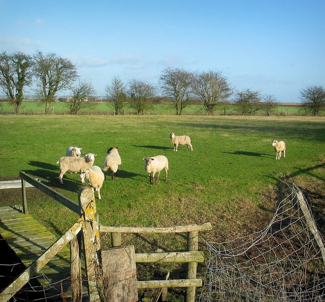
The village also benefits from a primary school, providing education to the local children, and a village hall that serves as a hub for community activities and events. The natural beauty of the surrounding marshland provides opportunities for outdoor pursuits such as walking, cycling, and birdwatching.

In terms of amenities, Ivychurch has a local pub, which serves as a gathering place for residents and visitors alike. The village is well-connected to nearby towns and cities, making it an ideal location for those seeking a peaceful rural retreat while still having access to essential services and amenities.

If you have any feedback on the listing, please let us know in the comments section below.
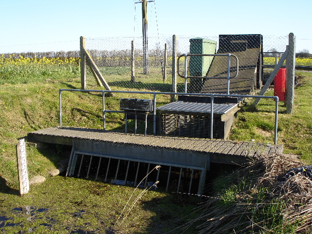
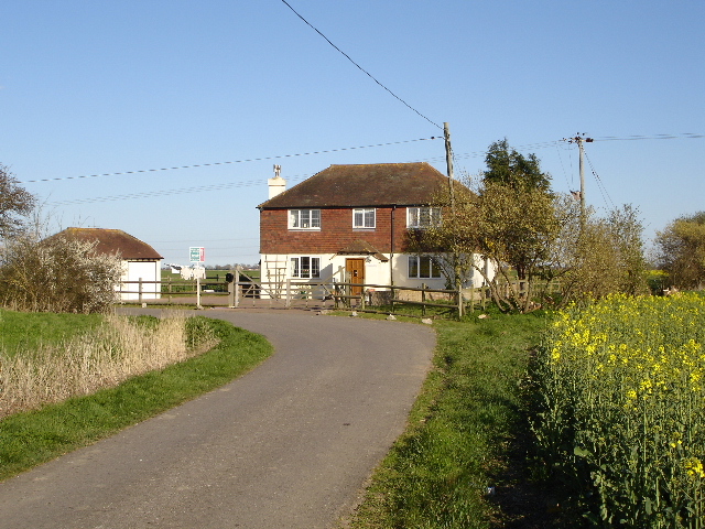
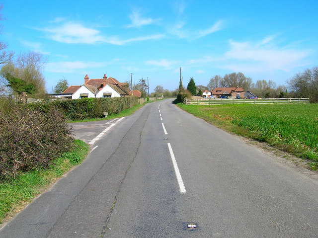
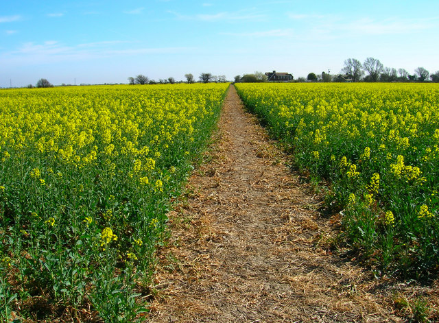
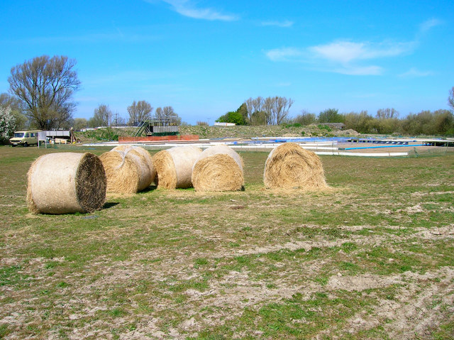
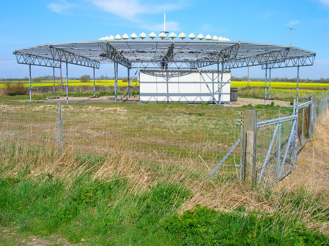
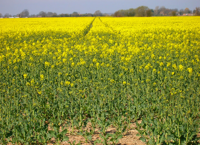
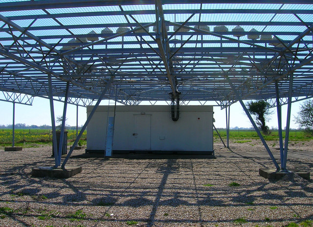
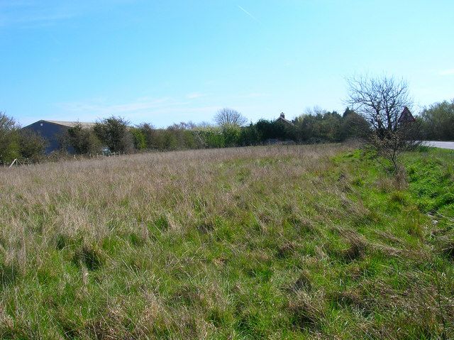
Ivychurch Images

Images are sourced within 2km of 51.012828/0.88884875 or Grid Reference TR0227. Thanks to Geograph Open Source API. All images are credited.

Sign at Five Vents Bridge, nr Ivychurch This sign is located where the lane from Old Romney to St Mary in the Marsh crosses the former B2070 between New Romney and Ivychurch. Note, the totally flat nature of Romney Marsh behind.
Sign at Five Vents Bridge, nr Ivychurch
This sign is located where the lane from Old Romney to St Mary in the Marsh crosses the former B2070 between New Romney and Ivychurch. Note, the totally flat nature of Romney Marsh behind.
Ivychurch Church and Pub The church is St George's, the pub is The Bell and the village is Ivychurch on Romney Marsh.
Ivychurch Church and Pub
The church is St George's, the pub is The Bell and the village is Ivychurch on Romney Marsh.
Fields Behind Ivychurch Church
St George, Ivychurch, Kent
St George, Ivychurch, Kent - East end
St George, Ivychurch, Kent - Churchyard
Field irrigation This tractor sucking water from a dyke creates a rainbow with its spray
Field irrigation
This tractor sucking water from a dyke creates a rainbow with its spray
Sluice pump This is one of the automatic pumps on the Marsh that would pump water from lower drainage dykes if flooding was imminent. Average height above sea level is 2 to 4 metres
Sluice pump
This is one of the automatic pumps on the Marsh that would pump water from lower drainage dykes if flooding was imminent. Average height above sea level is 2 to 4 metres
Golding Cottage Golding cottage from Melon Lane with Oil seed Rape just flowering in the surrounding fields
Golding Cottage
Golding cottage from Melon Lane with Oil seed Rape just flowering in the surrounding fields
Brenzett Green A mile or so to the north east of Brenzett. The road, which was once the B2081, is now a quiet back road as the A2070 bypasses it (out of frame on the right). Sunrise Cottage and Shepherds Delight are on the left, Thatched Cottage is to the right.
Brenzett Green
A mile or so to the north east of Brenzett. The road, which was once the B2081, is now a quiet back road as the A2070 bypasses it (out of frame on the right). Sunrise Cottage and Shepherds Delight are on the left, Thatched Cottage is to the right.
Footpath to Ivychurch Taken from the footpath that connects Moor Lane to Ivychurch. The houses are Stokes Cottages.
Footpath to Ivychurch
Taken from the footpath that connects Moor Lane to Ivychurch. The houses are Stokes Cottages.
Race Track near Eden House Not sure what this one is for, plenty of jumps and tight bends with a small marshal's stand at the back. This is next to Wenham's Lane as it turns south away from Ivychurch.
Race Track near Eden House
Not sure what this one is for, plenty of jumps and tight bends with a small marshal's stand at the back. This is next to Wenham's Lane as it turns south away from Ivychurch.
Air Navigation Beacon, Wenham's Lane Used by nearby Lydd Airport. On the corner of Wenham's Lane and an unnamed track that heads heads east.
Air Navigation Beacon, Wenham's Lane
Used by nearby Lydd Airport. On the corner of Wenham's Lane and an unnamed track that heads heads east.
Mast and Race Track The race track is Thunder Road and is for remote controlled buggies.
Mast and Race Track
The race track is Thunder Road and is for remote controlled buggies.
Rape Field Between Wenham's Lane and the Ivychurch-Brenzett road.
Rape Field
Between Wenham's Lane and the Ivychurch-Brenzett road.
Under the Air Navigation Beacon Taken from Wenham Lane.
Under the Air Navigation Beacon
Taken from Wenham Lane.
New Sewer Taken from Yoakes Bridge as the sewer heads out of the grid square
New Sewer
Taken from Yoakes Bridge as the sewer heads out of the grid square
Show me another place!

Ivychurch is located at Grid Ref: TR0227 (Lat: 51.012828, Lng: 0.88884875)

Administrative County: Kent

District: Shepway

Police Authority: Kent

What 3 Words

///blown.grumble.placidly. Near Romney Marsh, Kent

Nearby Locations

Ivychurch

Related Wikis

Ivychurch

Ivychurch is a village and civil parish in the Folkestone and Hythe district of Kent, England. The village is located on the Romney Marsh, three miles...

RAF Brenzett

Royal Air Force Brenzett or more simply RAF Brenzett was a Royal Air Force Advanced Landing Ground close to the village of Brenzett near Romney Marsh...

Rhee Wall

The Rhee Wall is a former watercourse in Romney Marsh in Kent. It is 7.5 miles (12.1 km) long and runs from Appledore, on the north-western edge of Romney...

St Eanswith's Church, Brenzett

St Eanswith's Church is a Grade II* listed Anglican church in the village of Brenzett, Kent, about 7 miles (11 km) north-east of Rye, East Sussex. A church...

Brenzett

Brenzett ( BREN-zit) is a village and civil parish in the Folkestone and Hythe District of Kent, England. The village lies on the Romney Marsh, three miles...

Old Romney

Old Romney is a village and civil parish in the Folkestone and Hythe district of Kent, England. The village, as its name suggests, is the original site...

St Clement's Church, Old Romney

St Clement's Church is an Anglican church, in the village of Old Romney, Kent, England. It is a Grade I listed building. The church is dedicated to Saint...

Snave

Snave is a village and former civil parish, now in the parish of Brenzett, in the Folkestone and Hythe district, in the county of Kent, England. It is...

Nearby Amenities

Located within 500m of 51.012828,0.88884875
Ivychurch
Is In: Kent, England, UK
Place: village
Wikidata: Q2243052
Wikipedia: en:Ivychurch
Lat/Long: 51.0115/0.8887186
Bus Stop
Village Hall
Bus: yes
Local Ref: adj
Naptan AtcoCode: 2400A024230A
Naptan Bearing: SW
Naptan BusStopType: MKD
Naptan CommonName: Village Hall
Naptan Indicator: adj
Naptan Landmark: Village Hall
Naptan NaptanCode: kntdagtd
Naptan RevisionNumber: 4
Naptan Status: act
Naptan Street: Ivychurch Road
Naptan Verified: no
Public Transport: platform
Ref: kntdagtd
Source: naptan_import
Source Date: 2014-04-25
Lat/Long: 51.0125616/0.8885561
Ivychurch Road
Disused Highway: bus_stop
Disused Public Transport: platform
Local Ref: opp
Naptan AtcoCode: 2400A037070A
Naptan Bearing: SE
Naptan BusStopType: MKD
Naptan CommonName: Ivychurch Road
Naptan Indicator: opp
Naptan Landmark: The Bell
Naptan NaptanCode: kntdmwmg
Naptan RevisionNumber: 2
Naptan Status: del
Naptan Street: Ashford Road
Naptan Verified: no
Ref: kntdmwmg
Source: naptan_import
Source Date: 2010-04-28
Lat/Long: 51.0124838/0.8893692
Bus Stop
Village Hall
Bus: yes
Flag: no
Local Ref: opp
Naptan AtcoCode: 2400A037080A
Naptan Bearing: NE
Naptan BusStopType: CUS
Naptan CommonName: Village Hall
Naptan Indicator: opp
Naptan Landmark: Village Hall
Naptan NaptanCode: kntdmwmj
Naptan RevisionNumber: 3
Naptan Status: act
Naptan Street: Ivychurch Road
Naptan Verified: no
Public Transport: platform
Ref: kntdmwmj
Source: naptan_import
Source Date: 2014-04-25
Lat/Long: 51.0126148/0.8884363
Post Box
Post Box Mounting: brick_pillar
Post Box Type: wall
Ref: TN29 69
Source: survey
Lat/Long: 51.0122723/0.8896536
Post Office
Ivychurch Post Office
Addr City: Brenzett
Addr Country: GB
Addr Housename: The Village Hall
Addr Postcode: TN29 0EE
Addr Street: Ivychurch Road
Brand: Post Office
Brand Wikidata: Q1783168
Check Date: 2023-09-27
Check Date Opening Hours: 2023-09-27
Opening Hours: Tu 13:00-15:00
Ref Pol Id: 97526
Website: https://www.postoffice.co.uk/branch-finder/3884708/ivychurch
Lat/Long: 51.0123606/0.8883142
Defibrillator
Booth: K6
Covered: booth
Defibrillator Location: inside old red phone box in Ivychurch, next to church
Disused Amenity: telephone
Emergency: defibrillator
Man Made: telephone_box
Ref GB The Circuit: 858A8832-8E0A-4918-AB9D-AEA10095C6E6
Lat/Long: 51.0122657/0.8896826
The data included in this document is from www.openstreetmap.org. The data is made available under ODbL.

Have you been to Ivychurch?

Leave your review of Ivychurch below (or comments, questions and feedback).