Brennand Hill
Hill, Mountain in Yorkshire Ribble Valley
England
Brennand Hill

Brennand Hill is a prominent geographical feature located in the county of Yorkshire, England. Situated in the heart of the Yorkshire Dales, it forms part of the Pennine Range and stands at an impressive elevation of approximately 513 meters (1,683 feet) above sea level.
This hill is well-known for its picturesque and rugged terrain, presenting a challenging but rewarding experience for hikers and outdoor enthusiasts. Its distinctively steep slopes are covered in a patchwork of heather, grasses, and scattered rocks, creating a stunning landscape that changes with the seasons. From the summit, visitors are treated to panoramic views of the surrounding valleys and dales, including the renowned Ribblehead Viaduct.
Brennand Hill is also notable for its rich history and cultural heritage. It was once a key route for trade and transport between the Yorkshire Dales and Lancashire, evidenced by the remains of old packhorse trails and stone boundary walls that traverse the landscape. The hill has also served as a grazing ground for sheep for centuries, and sheep farming remains an integral part of the local economy.
Despite its remote location, the hill attracts a steady stream of visitors who are drawn to its natural beauty and tranquility. It offers a range of outdoor activities, including hiking, birdwatching, and even paragliding for the more adventurous. The surrounding area is home to several charming villages that provide accommodation and amenities for those wishing to explore Brennand Hill and its picturesque surroundings.
If you have any feedback on the listing, please let us know in the comments section below.
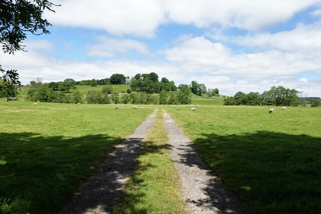
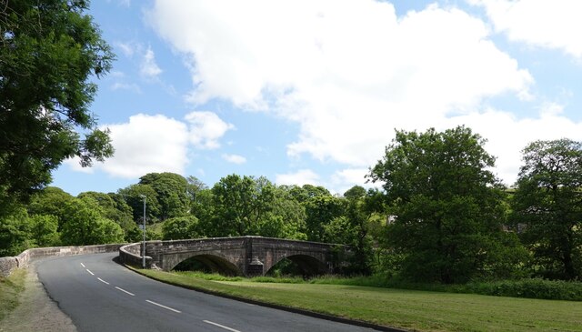
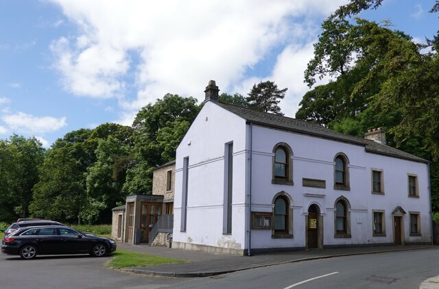
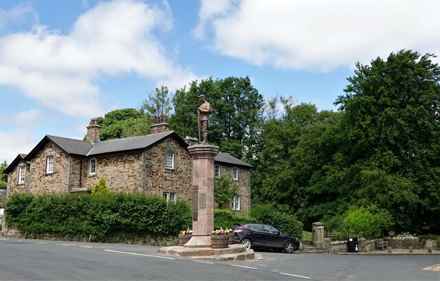
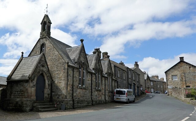
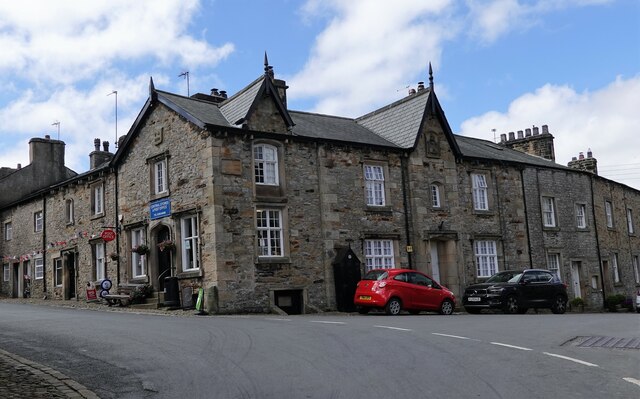
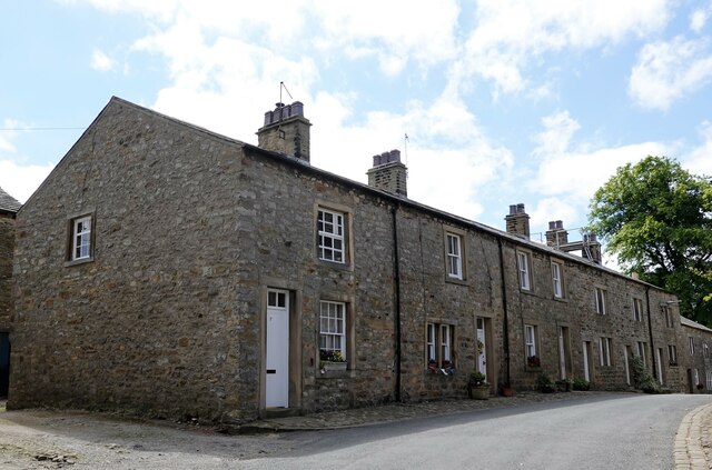
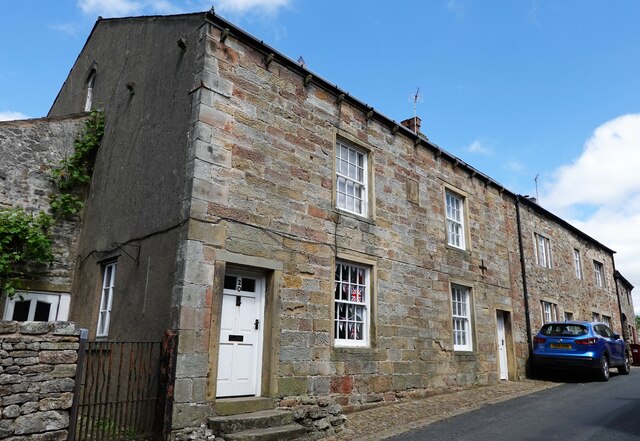
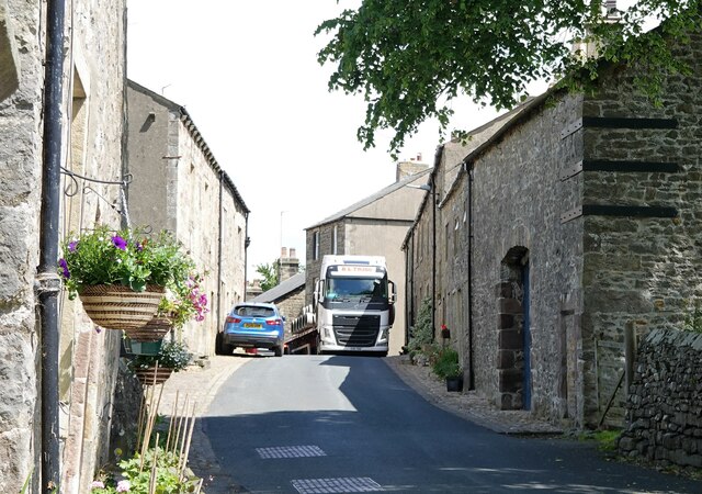
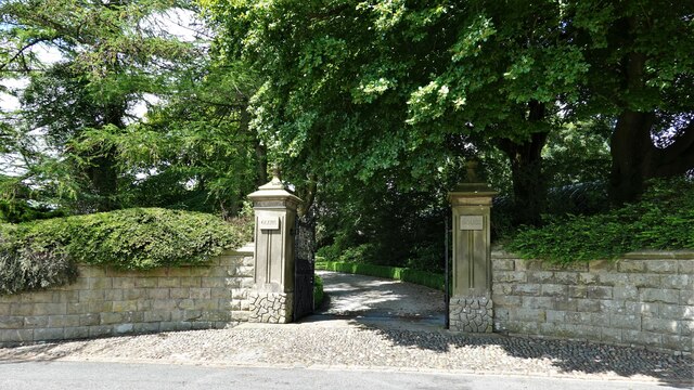
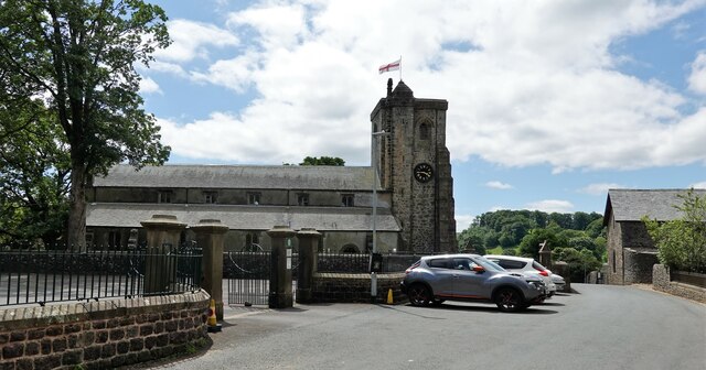
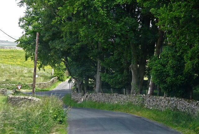
Brennand Hill Images
Images are sourced within 2km of 53.964716/-2.4163694 or Grid Reference SD7252. Thanks to Geograph Open Source API. All images are credited.

Brennand Hill is located at Grid Ref: SD7252 (Lat: 53.964716, Lng: -2.4163694)
Division: West Riding
Administrative County: Lancashire
District: Ribble Valley
Police Authority: Lancashire
What 3 Words
///drainage.sheet.trackers. Near Waddington, Lancashire
Nearby Locations
Related Wikis

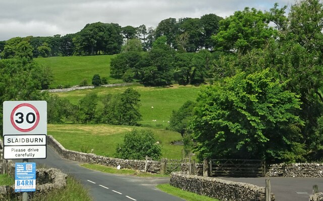
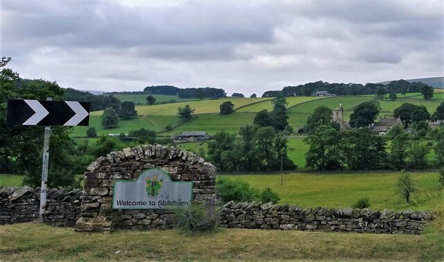
Slaidburn
Slaidburn () is a village and civil parish within the Ribble Valley district of Lancashire, England. The parish covers just over 5,000 acres of the Forest...

Lancashire Witches Walk
The Lancashire Witches Walk is a 51-mile (82 km) long-distance footpath opened in 2012, between Barrowford and Lancaster, all in Lancashire, England. It...

King's House, Slaidburn
King's House is a Grade II listed building in Slaidburn, Lancashire, England, now used as a youth hostel. It was originally built in the 18th century,...

St Andrew's Church, Slaidburn
St Andrew's Church is in Church Street, Slaidburn, Lancashire, England. It is an active Anglican parish church in the deanery of Bowland, the archdeaconry...
Nearby Amenities
Located within 500m of 53.964716,-2.4163694Have you been to Brennand Hill?
Leave your review of Brennand Hill below (or comments, questions and feedback).