Field, High
Settlement in Yorkshire Ribble Valley
England
Field, High
Field, High, Yorkshire is a charming village located in the picturesque county of Yorkshire, England. Situated on the edge of the stunning Yorkshire Dales National Park, Field, High offers residents and visitors alike a tranquil and idyllic setting.
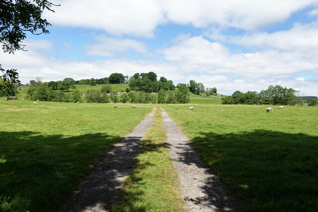
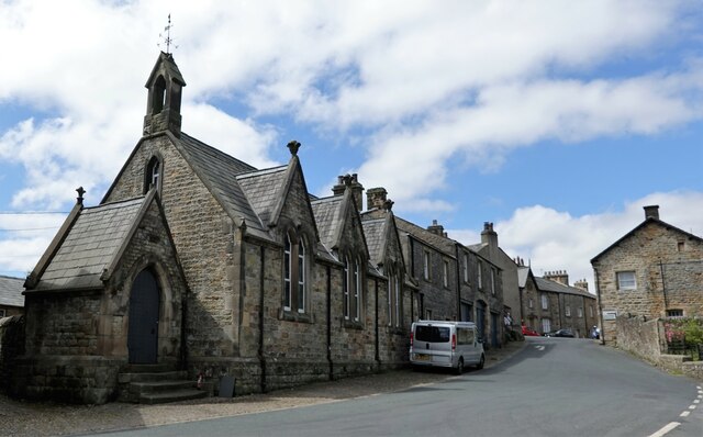
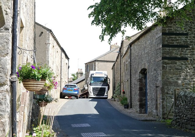
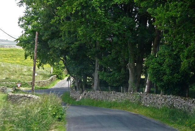
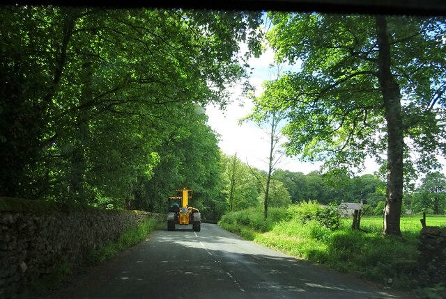
The village is known for its beautiful countryside, with rolling hills and lush green fields surrounding the area. It is a popular destination for outdoor enthusiasts, who can enjoy activities such as hiking, cycling, and horse riding on the numerous trails that crisscross the countryside.
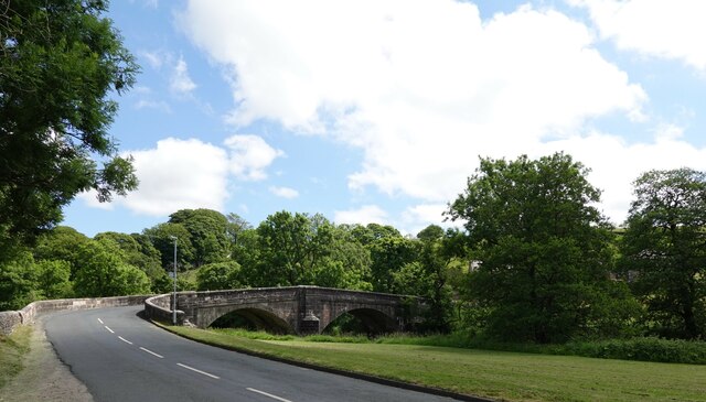
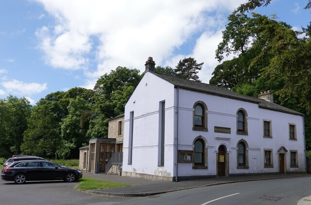
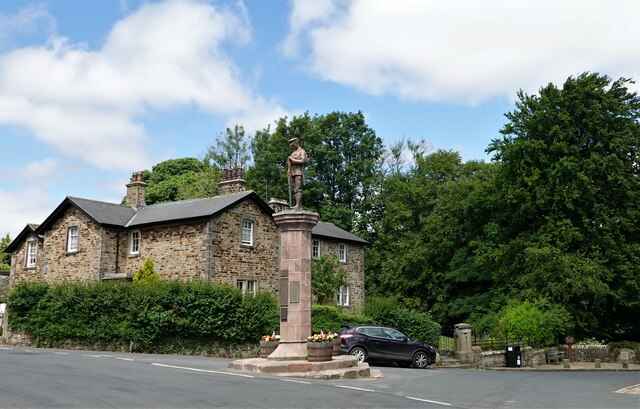
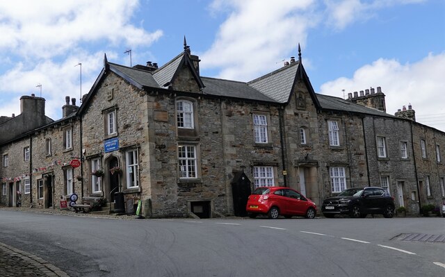
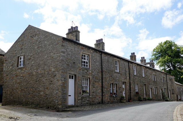
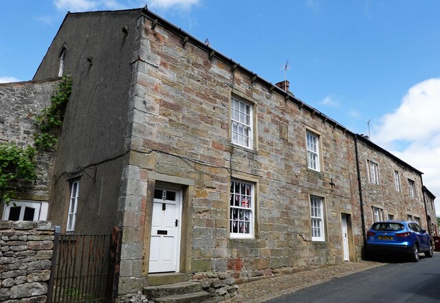
Field, High is also home to a close-knit community, with a population of around 500 residents. The village has a quaint and traditional feel, with many historic buildings and charming cottages dotting the streets. The local pub, The Field Inn, is a popular gathering spot for locals and visitors alike, offering a warm and friendly atmosphere.
For those seeking a taste of local culture, the nearby market town of Skipton offers a range of amenities, including shops, restaurants, and a weekly market where fresh produce and handmade crafts can be found.
Overall, Field, High, Yorkshire is a peaceful and picturesque village, offering a perfect blend of natural beauty and community spirit. Whether you are looking to explore the great outdoors or simply relax in a serene setting, this village in Yorkshire is a wonderful place to visit or call home.
If you have any feedback on the listing, please let us know in the comments section below.
Field, High Images
Images are sourced within 2km of 53.963317/-2.4282594 or Grid Reference SD7252. Thanks to Geograph Open Source API. All images are credited.

Field, High is located at Grid Ref: SD7252 (Lat: 53.963317, Lng: -2.4282594)
Division: West Riding
Administrative County: Lancashire
District: Ribble Valley
Police Authority: Lancashire
What 3 Words
///backpacks.dated.revival. Near Waddington, Lancashire
Nearby Locations
Related Wikis

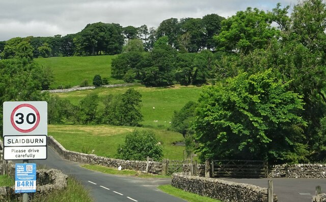
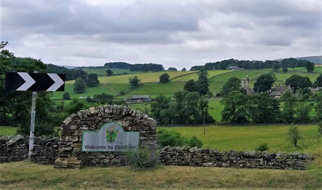
Slaidburn
Slaidburn () is a village and civil parish within the Ribble Valley district of Lancashire, England. The parish covers just over 5,000 acres of the Forest...

Lancashire Witches Walk
The Lancashire Witches Walk is a 51-mile (82 km) long-distance footpath opened in 2012, between Barrowford and Lancaster, all in Lancashire, England. It...

King's House, Slaidburn
King's House is a Grade II listed building in Slaidburn, Lancashire, England, now used as a youth hostel. It was originally built in the 18th century,...

St Andrew's Church, Slaidburn
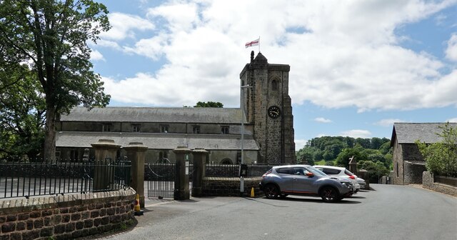
St Andrew's Church is in Church Street, Slaidburn, Lancashire, England. It is an active Anglican parish church in the deanery of Bowland, the archdeaconry...
Nearby Amenities
Located within 500m of 53.963317,-2.4282594Have you been to Field, High?
Leave your review of Field, High below (or comments, questions and feedback).