Bank Hill

Hill, Mountain in Roxburghshire

Scotland

Bank Hill

Old milestone Travelling southwards, turning left over the Cessford Burn, then right, this milestone is just to the left in the very small lane, part of a cycle route leading to the B6401 west of Morebattle.   The cottages at the west side of the burn can be seen in the distance.
Old milestone Credit: Chris Minto

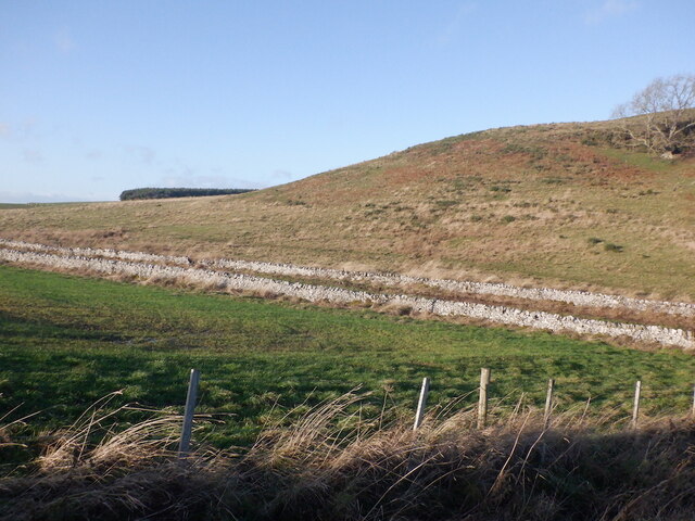
Bank Hill is a prominent hill located in Roxburghshire, a historic county in the southern part of Scotland. Situated near the town of Hawick, Bank Hill is part of the stunning scenery that characterizes the Scottish Borders region. With an elevation of approximately 423 meters (1,388 feet), it provides visitors with breathtaking panoramic views of the surrounding landscape.

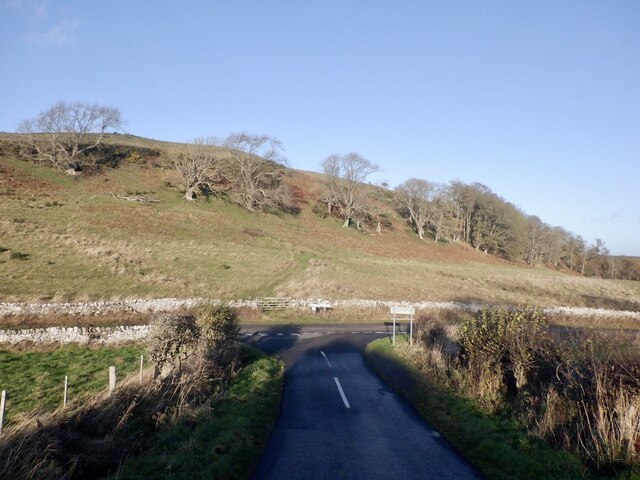
The hill is easily accessible, with a well-maintained footpath leading to its summit. The trail is suitable for hikers of various skill levels, making it a popular destination for both locals and tourists alike. The ascent is relatively gentle, ensuring a pleasant and enjoyable experience for those seeking outdoor activities.

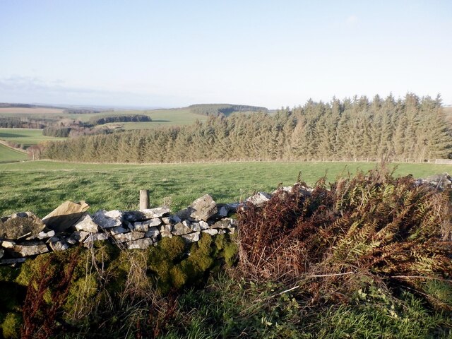
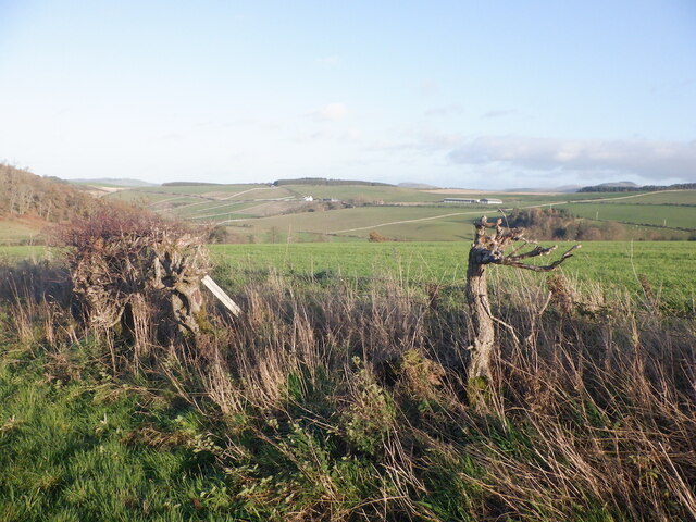
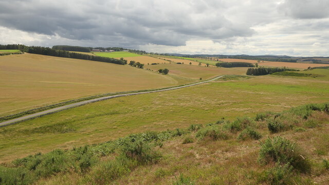
At the top of Bank Hill, visitors are rewarded with magnificent vistas that stretch as far as the eye can see. On clear days, the stunning views encompass rolling green hills, picturesque valleys, and the meandering River Teviot. The beauty of the landscape is particularly enhanced during the spring and summer months when the hills are adorned with colorful wildflowers.

The hill is also home to a variety of wildlife, including birds such as red grouse, curlews, and pheasants. Nature enthusiasts will delight in the opportunity to observe and photograph these captivating creatures in their natural habitat.

Bank Hill offers a peaceful retreat from the hustle and bustle of everyday life. Its tranquil surroundings and awe-inspiring vistas make it an ideal destination for nature lovers, hikers, and photographers seeking to immerse themselves in the natural beauty of the Scottish Borders.

If you have any feedback on the listing, please let us know in the comments section below.
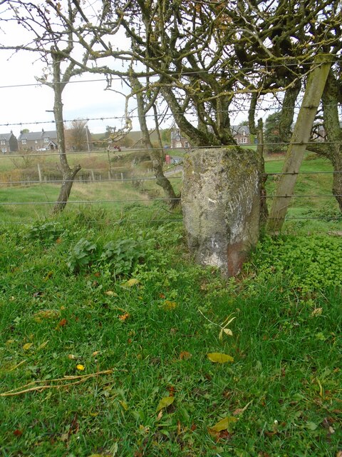
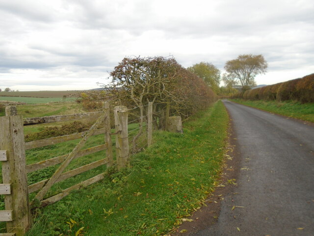
Bank Hill Images

Images are sourced within 2km of 55.491058/-2.4351124 or Grid Reference NT7222. Thanks to Geograph Open Source API. All images are credited.

Old milestone Travelling southwards, turning left over the Cessford Burn, then right, this milestone is just to the left in the very small lane, part of a cycle route leading to the B6401 west of Morebattle.   The cottages at the west side of the burn can be seen in the distance.
Old milestone
Travelling southwards, turning left over the Cessford Burn, then right, this milestone is just to the left in the very small lane, part of a cycle route leading to the B6401 west of Morebattle. The cottages at the west side of the burn can be seen in the distance.
Old milestone Looking north along the lane leading to the castle on the east side of the Cessford Burn.   This may have been the original line of this route with a track leading northwards from the right-hand bend beyond the castle and crossing the Cessford Burn nearly a mile further north than the current bridge.
Old milestone
Looking north along the lane leading to the castle on the east side of the Cessford Burn. This may have been the original line of this route with a track leading northwards from the right-hand bend beyond the castle and crossing the Cessford Burn nearly a mile further north than the current bridge.
Rennieston A roadside dyke.
Rennieston
A roadside dyke.
Remains of a hedge, Samieston
Road near Samieston
Road near Samieston
North side of Bank Hill
Marchcleuch Now used for training racehorses
Marchcleuch
Now used for training racehorses
Gallops, Marchcleuch
Farm buildings, Cessford
Spare land, Cessford Obviously something had changed here - a small patch of ground near a large collection of farm buildings. It is the site of a millpond.
Spare land, Cessford
Obviously something had changed here - a small patch of ground near a large collection of farm buildings. It is the site of a millpond.
Samieston to Crailinghall road View from the slopes of Bank Hill
Samieston to Crailinghall road
View from the slopes of Bank Hill
Ruin, Bank Hill A stone rectangle and other earthworks shown by LIDAR on the south side of the hill. Marked as a "settlement" by the Ordnance Survey and not fortified.
Ruin, Bank Hill
A stone rectangle and other earthworks shown by LIDAR on the south side of the hill. Marked as a "settlement" by the Ordnance Survey and not fortified.
Drought affected slope, Bank Hill Taken in a prolonged spell of wet weather, but still brown after April - June 2023 when there was little rain.
Drought affected slope, Bank Hill
Taken in a prolonged spell of wet weather, but still brown after April - June 2023 when there was little rain.
Summit area, Bank Hill The highest ground is by the triangulation pillar.
Summit area, Bank Hill
The highest ground is by the triangulation pillar.
Summit, Bank Hill A field with Aberdeen Angus cattle.
Summit, Bank Hill
A field with Aberdeen Angus cattle.
Gate, Bank Hill Blocked by an electric fence.
Gate, Bank Hill
Blocked by an electric fence.
Gallops, Marchcleuch
Field access track Through a stripwood near Crailinghall.
Field access track
Through a stripwood near Crailinghall.
Show me another place!

Bank Hill is located at Grid Ref: NT7222 (Lat: 55.491058, Lng: -2.4351124)

Unitary Authority: The Scottish Borders

Police Authority: The Lothians and Scottish Borders

What 3 Words

///birdcage.hike.weekend. Near Jedburgh, Scottish Borders

Nearby Locations

Bank Hill

Related Wikis

Cessford, Scottish Borders

Cessford is a hamlet and former barony about a mile south of the B6401 road, in the Scottish Borders area of Scotland. The placename is from Gaelic 'ceis...

Cessford Castle

Cessford Castle is a large ruined mid-15th century L-plan castle near the village of Cessford, midway Jedburgh and Kelso, in the historic county of Roxburghshire...

Crailinghall

Crailinghall is a village near Oxnam in the Scottish Borders area of Scotland, in the former Roxburghshire. Crailinghall is on the route of the St. Cuthbert...

Cessford Burn

Cessford Burn is a small stream which eventually runs to meet the Kale Water and then joins the River Teviot, finally entering the River Tweed at Kelso...

Nearby Amenities

Located within 500m of 55.491058,-2.4351124
Bank Hill
Natural: peak
Lat/Long: 55.4911511/-2.4349066
Material: wood
Power: pole
Lat/Long: 55.4908172/-2.4275728
Power: pole
Lat/Long: 55.4916779/-2.4274853
The data included in this document is from www.openstreetmap.org. The data is made available under ODbL.

Have you been to Bank Hill?

Leave your review of Bank Hill below (or comments, questions and feedback).