Beacon Hill
Hill, Mountain in Westmorland Eden
England
Beacon Hill
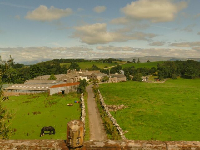
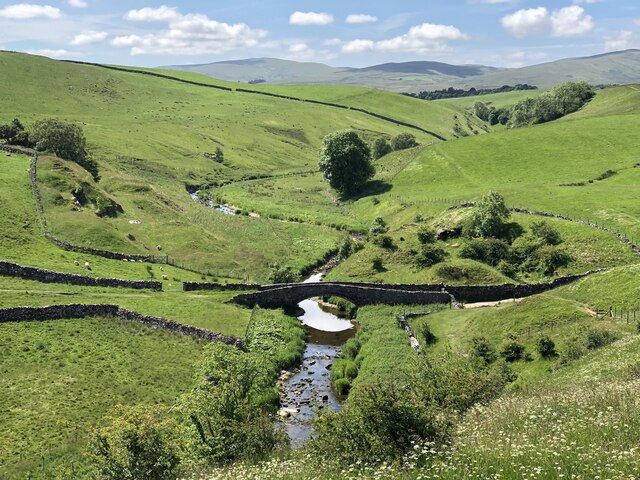
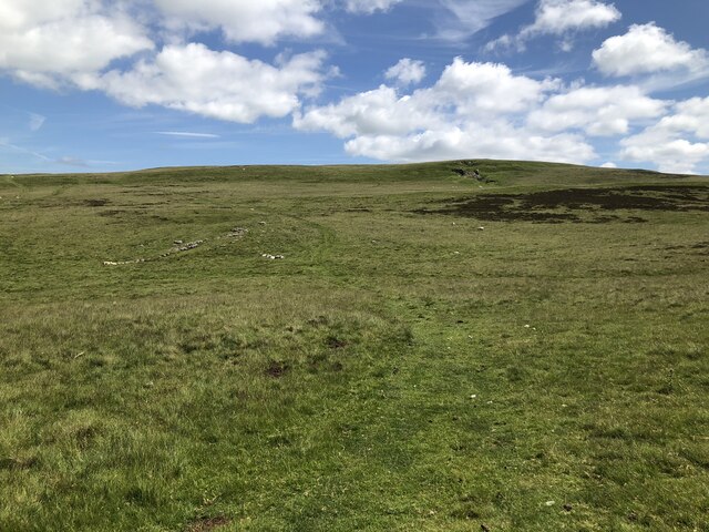
Beacon Hill, located in Westmorland, is a prominent hill and mountain standing at an elevation of 1,000 feet in the county of Cumbria, England. It forms part of the larger Pennines range, which stretches across Northern England. The hill is situated near the village of Orton, approximately 7 miles east of the town of Kendal.
The distinctive feature of Beacon Hill is its beacon, which historically served as a warning system to alert nearby settlements in case of danger or invasion. The beacon was strategically positioned due to its commanding views, allowing it to be visible from various surrounding areas. Although the original beacon is no longer standing, the hill retains its name as a reminder of its historical significance.
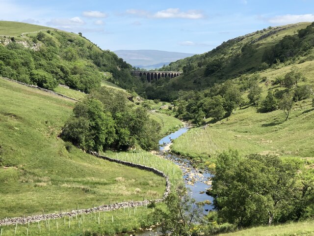
Beacon Hill offers breathtaking panoramic views of the stunning Cumbrian countryside. From its summit, visitors can admire the picturesque landscape encompassing rolling hills, lush green valleys, and scattered farmland. On clear days, it is possible to see as far as the Lake District National Park and the Yorkshire Dales.
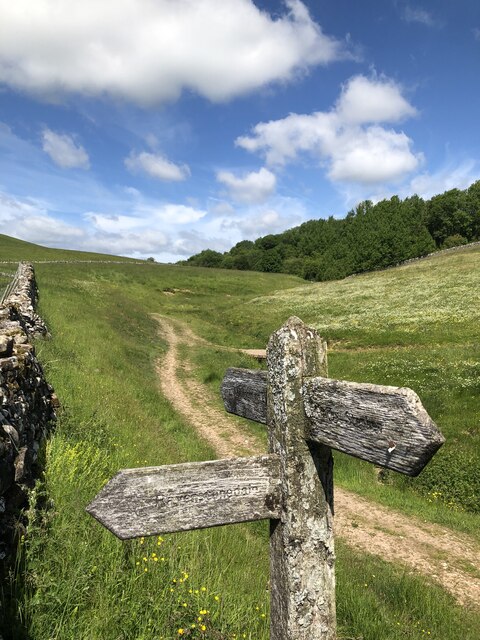
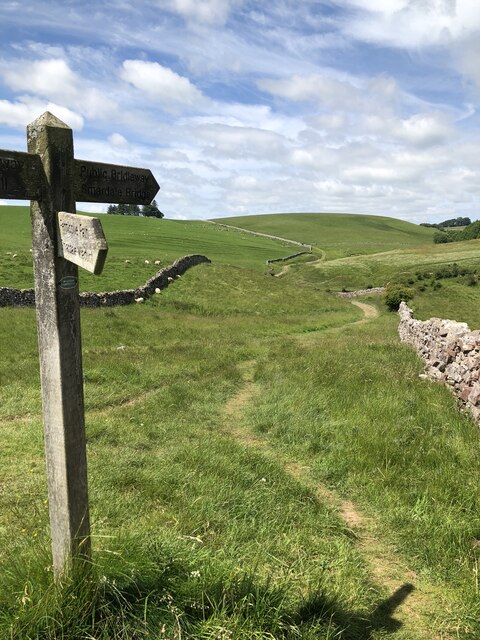
The hill attracts many outdoor enthusiasts, including hikers and nature lovers, who come to explore its network of footpaths and trails. The surrounding area is home to diverse wildlife, and keen observers may spot various bird species, such as red grouse and peregrine falcons, as well as rare flora and fauna.
Overall, Beacon Hill in Westmorland offers a captivating blend of history, natural beauty, and recreational opportunities, making it an appealing destination for both locals and tourists seeking to immerse themselves in the idyllic English countryside.
If you have any feedback on the listing, please let us know in the comments section below.
Beacon Hill Images
Images are sourced within 2km of 54.465148/-2.4328534 or Grid Reference NY7207. Thanks to Geograph Open Source API. All images are credited.


![Long Plantation The name that appears on the 1862 6&quot; O.S. map. with a wood symbol — see Maps.nls.uk. (2022). View map: Westmorland XXX (includes: Kirkby Stephen; Mallerstang; Nateby; Ravenstonedale; ...) - Ordnance Survey Six-inch England and Wales, 1842-1952. [online] Available at: <span class="nowrap"><a title="https://maps.nls.uk/view/102347880#zoom=6&amp;lat=9304&amp;lon=2399&amp;layers=BT" rel="nofollow ugc noopener" href="https://maps.nls.uk/view/102347880#zoom=6&amp;lat=9304&amp;lon=2399&amp;layers=BT">Link</a><img style="margin-left:2px;" alt="External link" title="External link - shift click to open in new window" src="https://s1.geograph.org.uk/img/external.png" width="10" height="10"/></span> [Accessed 26 Jun. 2022].](https://s3.geograph.org.uk/geophotos/07/21/03/7210371_573ad245.jpg)


Beacon Hill is located at Grid Ref: NY7207 (Lat: 54.465148, Lng: -2.4328534)
Administrative County: Cumbria
District: Eden
Police Authority: Cumbria
What 3 Words
///tempting.animates.poker. Near Kirkby Stephen, Cumbria
Nearby Locations
Related Wikis

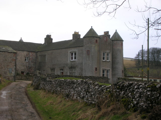
Crosby Garrett
Crosby Garrett is a hamlet and civil parish in the Eden District of Cumbria, England. It was formerly in the county of Westmorland. In the 2011 census...
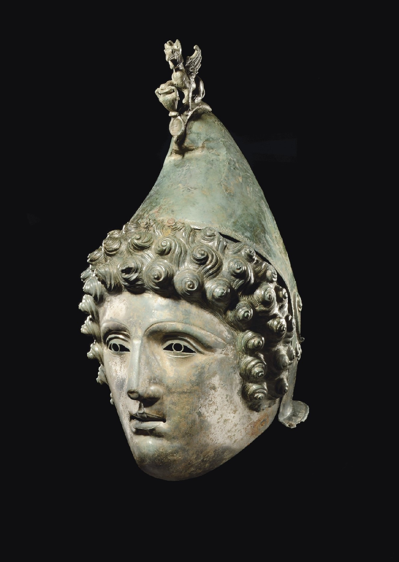
Crosby Garrett Helmet
The Crosby Garrett Helmet is a copper alloy Roman cavalry helmet dating from the late 2nd or early 3rd century AD. It was found by an unnamed metal detectorist...
Smardale
Smardale is a small village and former civil parish, now in the parish of Waitby, in the Eden district, in Cumbria, England. In 1891 the parish had a population...
Crosby Garrett railway station
Crosby Garrett was a railway station which served the village of Crosby Garrett in Cumbria, England. It was situated on the Settle-Carlisle Line 38+1⁄4...

Smardale railway station
Smardale railway station was a minor station on the South Durham & Lancashire Union Railway between Tebay and Kirkby Stephen East. It served the villages...
St Andrew's Church, Crosby Garrett
St Andrew's Church is in the village of Crosby Garrett, Cumbria, England. It is an active Anglican parish church in the deanery of Appleby, the archdeaconry...

Little Asby
Little Asby is a small village in Cumbria, England. Historically part of Westmorland, its name is said to be derived from the Norse words askr, meaning...

Newbiggin-on-Lune
Newbiggin-on-Lune is a village in the Eden district of Cumbria, England. Historically in Westmorland it is about 4 miles (6.4 km) south west of Kirkby...
Nearby Amenities
Located within 500m of 54.465148,-2.4328534Have you been to Beacon Hill?
Leave your review of Beacon Hill below (or comments, questions and feedback).