Gaughey Hill
Hill, Mountain in Yorkshire Ribble Valley
England
Gaughey Hill
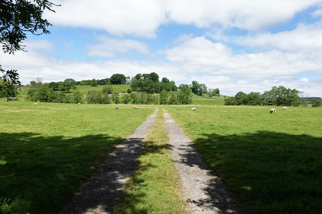
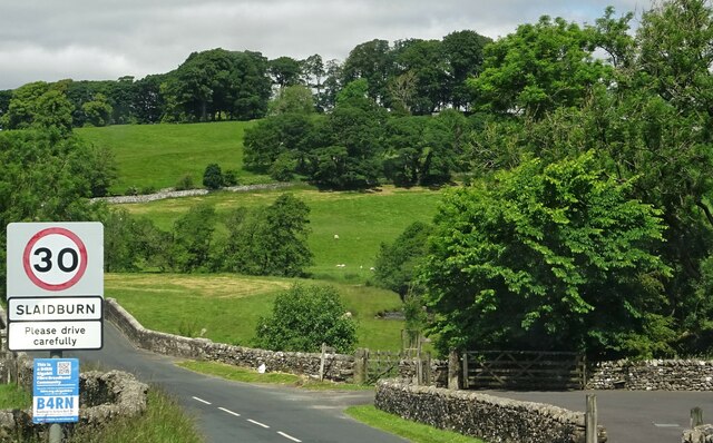
Gaughey Hill is a prominent hill located in the county of Yorkshire, England. Situated in the beautiful countryside, this natural landmark stands at an elevation of approximately 285 meters (935 feet) above sea level. The hill is located near the village of Gaughey, within the North Yorkshire Moors National Park, offering breathtaking views of the surrounding landscape.
Gaughey Hill is characterized by its gently sloping sides, covered in lush greenery, and is a popular destination for hikers and nature enthusiasts. The hill is predominantly composed of sandstone, which gives it a distinctive reddish hue that contrasts beautifully with the green fields and forests that surround it.
The summit of Gaughey Hill provides visitors with panoramic views of the North Yorkshire Moors, with vistas stretching out as far as the eye can see. On a clear day, one can spot the rolling hills, picturesque valleys, and charming villages that dot the landscape below. The hill is also home to a variety of flora and fauna, including heather, gorse, and various bird species, making it an excellent spot for wildlife observation.
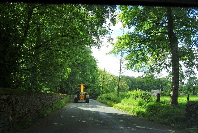
Access to Gaughey Hill is relatively easy, with several footpaths leading up to the summit. These paths are well-maintained and offer a pleasant and tranquil walking experience. Additionally, the hill is located not far from the village of Gaughey, where visitors can find amenities such as parking, refreshments, and information about local attractions.
Overall, Gaughey Hill is a captivating natural landmark that provides visitors with stunning views, a peaceful atmosphere, and the opportunity to immerse themselves in the beauty of Yorkshire's countryside.
If you have any feedback on the listing, please let us know in the comments section below.
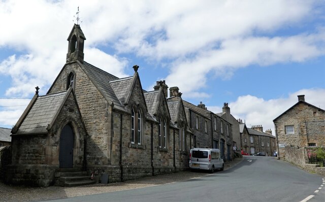
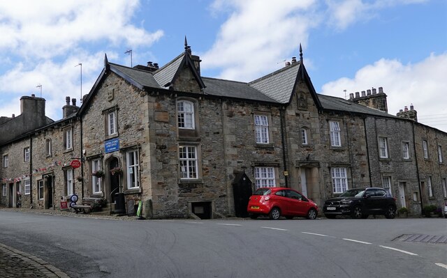
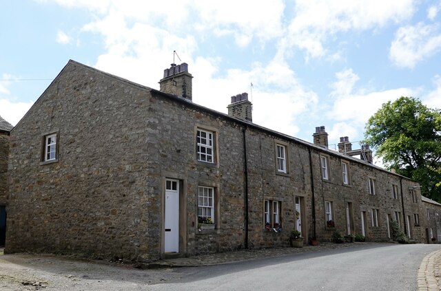
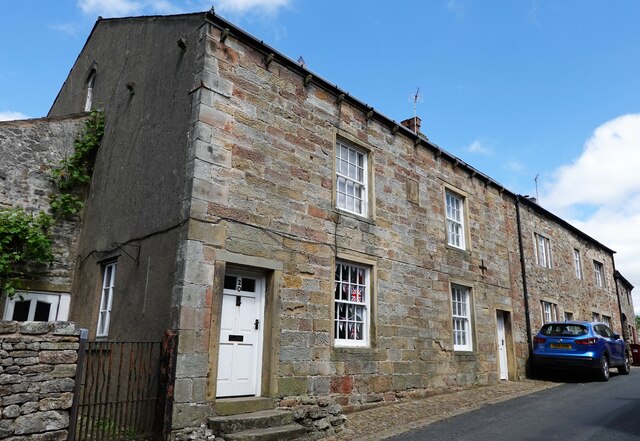
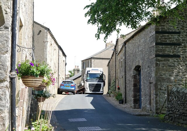
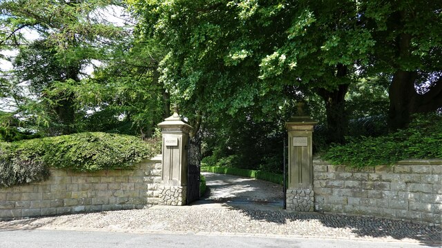
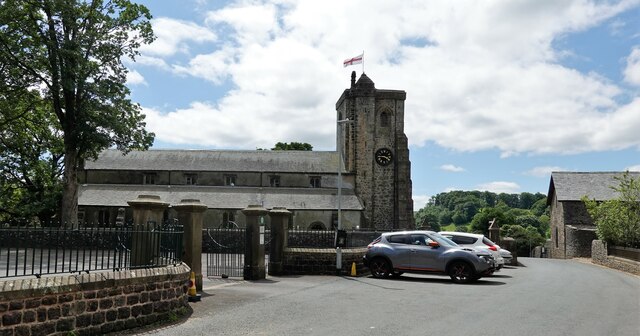
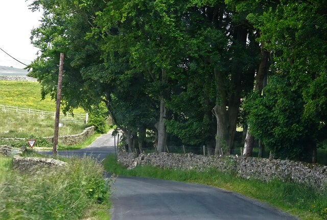
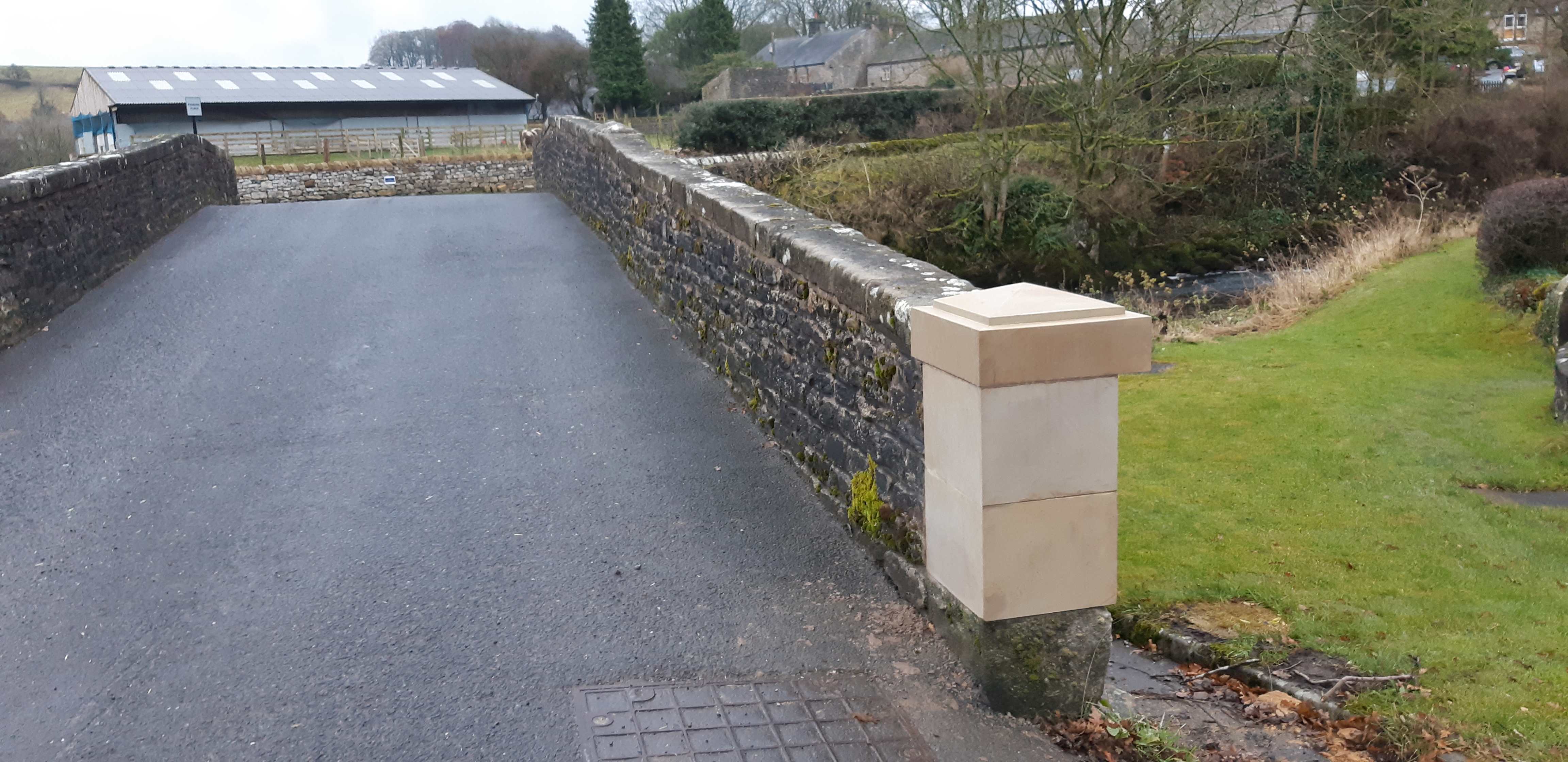
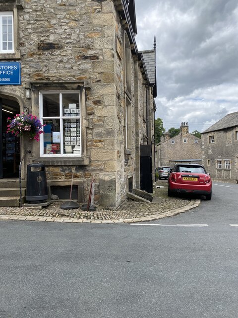
Gaughey Hill Images
Images are sourced within 2km of 53.960335/-2.4276192 or Grid Reference SD7251. Thanks to Geograph Open Source API. All images are credited.

Gaughey Hill is located at Grid Ref: SD7251 (Lat: 53.960335, Lng: -2.4276192)
Division: West Riding
Administrative County: Lancashire
District: Ribble Valley
Police Authority: Lancashire
What 3 Words
///decoder.boxing.mailers. Near Waddington, Lancashire
Nearby Locations
Related Wikis

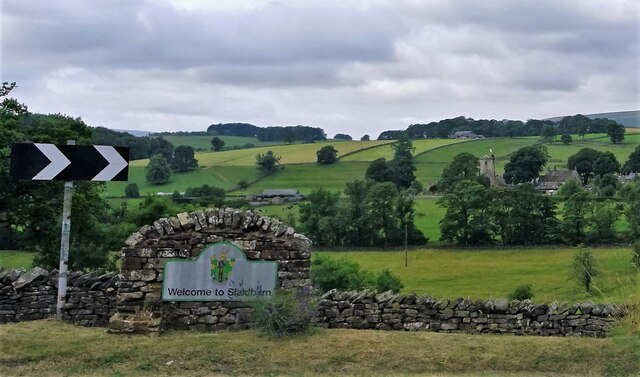
Slaidburn
Slaidburn () is a village and civil parish within the Ribble Valley district of Lancashire, England. The parish covers just over 5,000 acres of the Forest...

Lancashire Witches Walk
The Lancashire Witches Walk is a 51-mile (82 km) long-distance footpath opened in 2012, between Barrowford and Lancaster, all in Lancashire, England. It...

St Andrew's Church, Slaidburn
St Andrew's Church is in Church Street, Slaidburn, Lancashire, England. It is an active Anglican parish church in the deanery of Bowland, the archdeaconry...

King's House, Slaidburn
King's House is a Grade II listed building in Slaidburn, Lancashire, England, now used as a youth hostel. It was originally built in the 18th century,...

Newton-in-Bowland
Newton or Newton-in-Bowland is a village and civil parish in the Ribble Valley district, in the county of Lancashire, England, formerly known as Newton...

Easington Fell
Easington Fell is a Marilyn in the Forest of Bowland in Lancashire, England. It has been surveyed to be 70 cm higher than a nearby fell of almost identical...

Stocks Reservoir
Stocks Reservoir is a reservoir situated at the head of the Hodder valley in the Forest of Bowland, Lancashire, England (historically in the West Riding...

Easington, Lancashire
Easington () is a civil parish within the Ribble Valley district of Lancashire, England, with a population in 2001 of 52. The Census 2011 population details...
Nearby Amenities
Located within 500m of 53.960335,-2.4276192Have you been to Gaughey Hill?
Leave your review of Gaughey Hill below (or comments, questions and feedback).