Sagar Hill
Hill, Mountain in Yorkshire Ribble Valley
England
Sagar Hill
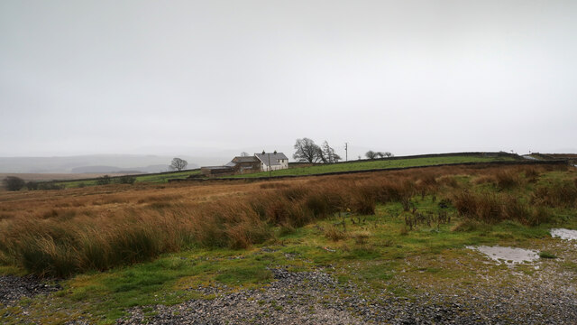
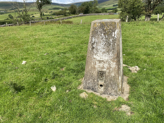
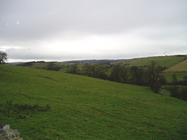
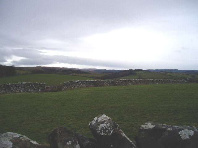
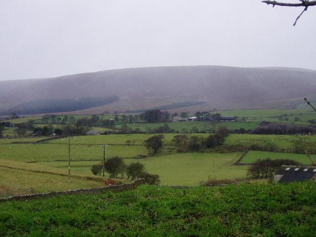
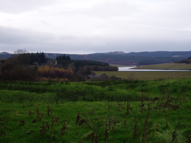
Sagar Hill is a prominent landmark located in the county of Yorkshire, England. It is a picturesque hill that forms part of the larger Moorland of North Yorkshire. Standing at an elevation of approximately 315 meters (1,033 feet), the hill offers breathtaking views of the surrounding countryside.
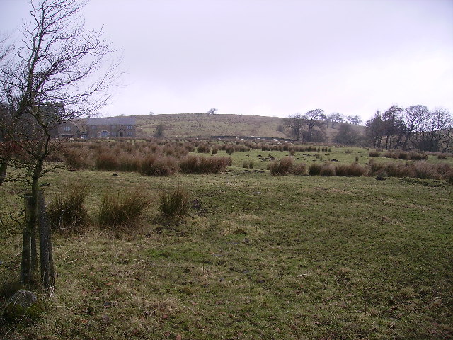
Sagar Hill is situated near the village of Sagar, which lies within the district of Craven. The hill is characterized by its gently sloping sides and its verdant, grassy terrain. It is primarily composed of millstone grit, a type of sedimentary rock that is common in the area.
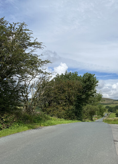
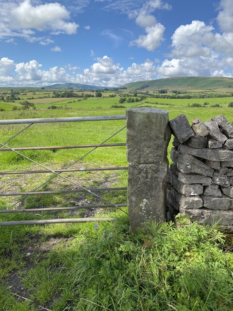
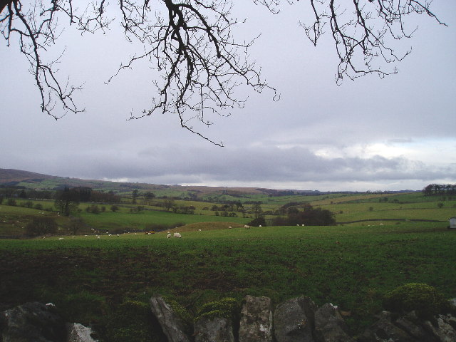
The hill is a popular destination for hikers and nature enthusiasts, who are drawn to its tranquil and unspoiled beauty. Its well-maintained footpaths provide easy access to the summit, where visitors can enjoy panoramic vistas of the rolling Yorkshire Dales and the nearby Pennine Mountains.
The hill is also known for its diverse wildlife, with various species of birds, mammals, and plants calling it home. It provides an important habitat for species such as red grouse, curlew, and lapwing, making it a significant site for bird-watching.
Sagar Hill offers a peaceful retreat from the hustle and bustle of city life, allowing visitors to immerse themselves in the natural beauty of the Yorkshire countryside. Whether it's a leisurely walk or a challenging hike, Sagar Hill provides an opportunity to reconnect with nature and appreciate the stunning landscapes that Yorkshire has to offer.
If you have any feedback on the listing, please let us know in the comments section below.
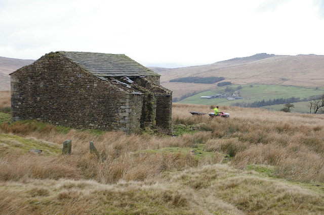
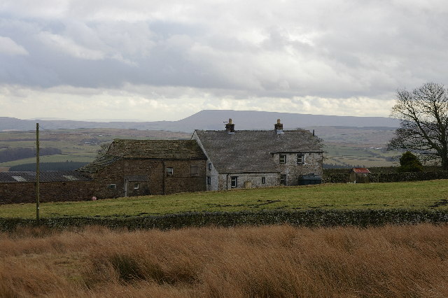
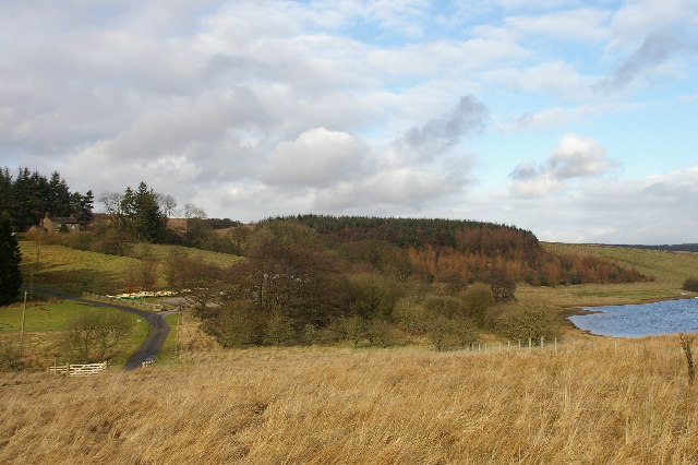
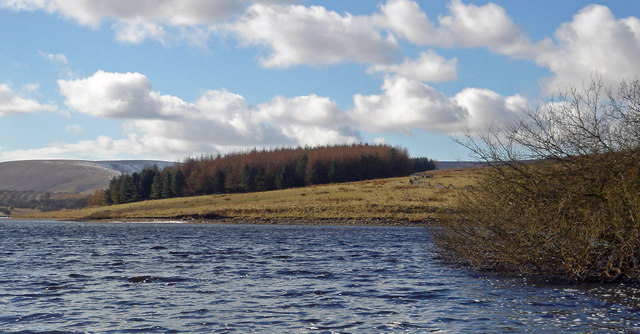
Sagar Hill Images
Images are sourced within 2km of 53.989256/-2.4428009 or Grid Reference SD7154. Thanks to Geograph Open Source API. All images are credited.
Sagar Hill is located at Grid Ref: SD7154 (Lat: 53.989256, Lng: -2.4428009)
Division: West Riding
Administrative County: Lancashire
District: Ribble Valley
Police Authority: Lancashire
What 3 Words
///mimes.hothouse.twirls. Near Waddington, Lancashire
Nearby Locations
Related Wikis

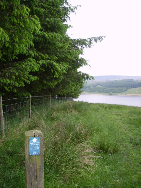
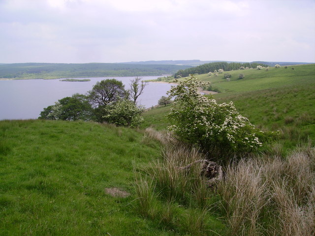
Stocks Reservoir
Stocks Reservoir is a reservoir situated at the head of the Hodder valley in the Forest of Bowland, Lancashire, England (historically in the West Riding...

Lancashire Witches Walk
The Lancashire Witches Walk is a 51-mile (82 km) long-distance footpath opened in 2012, between Barrowford and Lancaster, all in Lancashire, England. It...

Slaidburn
Slaidburn () is a village and civil parish within the Ribble Valley district of Lancashire, England. The parish covers just over 5,000 acres of the Forest...

King's House, Slaidburn
King's House is a Grade II listed building in Slaidburn, Lancashire, England, now used as a youth hostel. It was originally built in the 18th century,...
Have you been to Sagar Hill?
Leave your review of Sagar Hill below (or comments, questions and feedback).