Muckle Dodd Hill

Hill, Mountain in Northumberland

England

Muckle Dodd Hill

Young trees, Wark Forest A newly replanted area of forest in Wark Forest. Further behind is a mature area of trees.
Young trees, Wark Forest Credit: Graham Robson

Muckle Dodd Hill is a prominent hill located in the county of Northumberland, England. With an elevation of approximately 265 meters (869 feet), it is classified as a hill rather than a mountain. The hill is situated in the northern part of the county, near the border with Scotland.

Muckle Dodd Hill offers breathtaking panoramic views of the surrounding landscape. It is surrounded by rolling hills and picturesque countryside, making it a popular destination for hikers and nature enthusiasts. The hill is part of the Northumberland National Park, which is known for its stunning natural beauty and diverse wildlife.

The hill itself is covered in grass and heather, creating a colorful display during the summer months. It is a fairly easy ascent, with well-defined paths leading to the summit. From the top, visitors can see as far as the Cheviot Hills to the south and the Scottish Borders to the north.

Aside from its natural beauty, Muckle Dodd Hill is also of historical significance. The area around the hill is dotted with ancient settlements and archaeological sites, dating back to prehistoric times. These include burial mounds and stone circles, providing insight into the area's rich history.

Overall, Muckle Dodd Hill is a stunning natural landmark in Northumberland, offering both natural beauty and historical significance. Whether for a leisurely walk or a more challenging hike, it provides a wonderful opportunity to explore the region's diverse landscape.

If you have any feedback on the listing, please let us know in the comments section below.

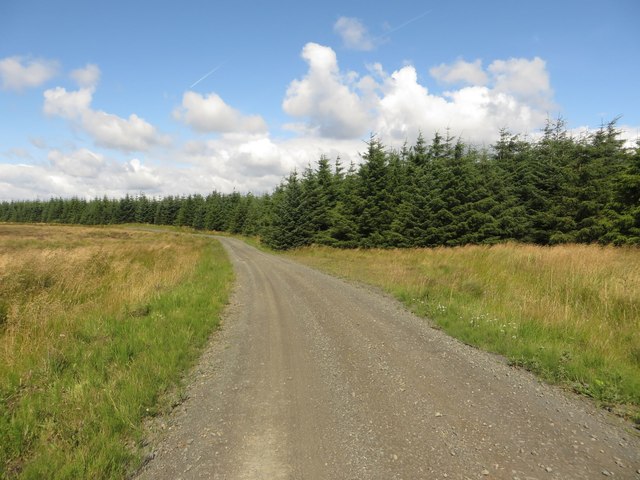
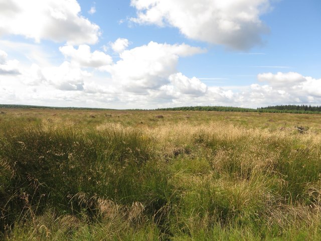
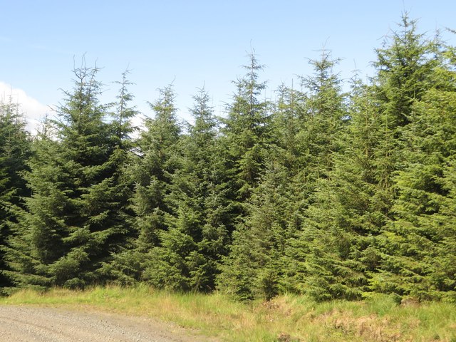
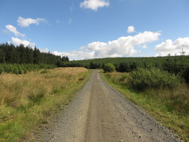
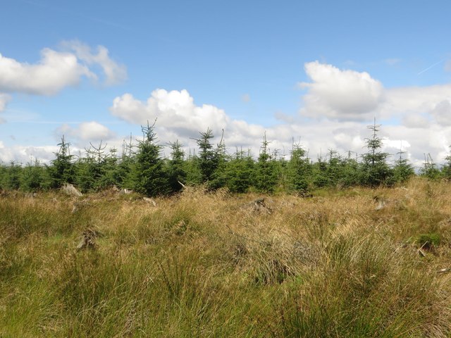
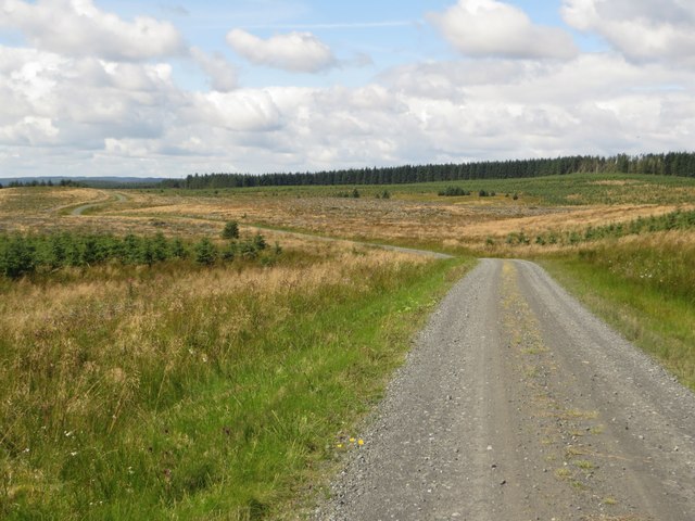
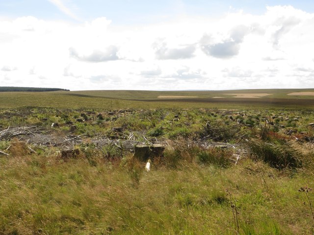
Muckle Dodd Hill Images

Images are sourced within 2km of 55.104766/-2.4552438 or Grid Reference NY7179. Thanks to Geograph Open Source API. All images are credited.

Young trees, Wark Forest A newly replanted area of forest in Wark Forest. Further behind is a mature area of trees.
Young trees, Wark Forest
A newly replanted area of forest in Wark Forest. Further behind is a mature area of trees.
Forest track, Wark Forest A forest track in Wark Forest. The area on the left is devoid of trees, whilst the edge of a dense block of trees is on the right side of the track.
Forest track, Wark Forest
A forest track in Wark Forest. The area on the left is devoid of trees, whilst the edge of a dense block of trees is on the right side of the track.
Unplanted area, Wark Forest A large boggy area free of trees in Wark Forest.
Unplanted area, Wark Forest
A large boggy area free of trees in Wark Forest.
Trees, Wark Forest A dense plantation of trees in Wark Forest beside one of the many forestry tracks.
Trees, Wark Forest
A dense plantation of trees in Wark Forest beside one of the many forestry tracks.
Forest track, Wark Forest A forest track in Wark Forest with a wide gap on either edge before the densely planted trees take over.
Forest track, Wark Forest
A forest track in Wark Forest with a wide gap on either edge before the densely planted trees take over.
Young trees, Wark Forest A large block of young trees in Wark Forest beside one of the many forest tracks.
Young trees, Wark Forest
A large block of young trees in Wark Forest beside one of the many forest tracks.
Forest track, Wark Forest A forest track passing through a wide open space in Wark Forest created by the felling of the blocks of trees on both sides of the track.
Forest track, Wark Forest
A forest track passing through a wide open space in Wark Forest created by the felling of the blocks of trees on both sides of the track.
Clear felled plantation, Wark Forest A large area of clear felled trees in Wark Forest. The stumps and brash still remain on the ground.
Clear felled plantation, Wark Forest
A large area of clear felled trees in Wark Forest. The stumps and brash still remain on the ground.
Sheepfold close to the Chirdon Burn A round sheepfold on rough ground beside the Chirdon Burn.
Sheepfold close to the Chirdon Burn
A round sheepfold on rough ground beside the Chirdon Burn.
Forest track near Chirdonhead A forest track near the isolated building at Chirdonhead.
Forest track near Chirdonhead
A forest track near the isolated building at Chirdonhead.
Nature reserve south of Hobbs Hill
Forest track below Hobbs Hill
Forest track southwest of Hobbs Hill
Forest track northeast of Stob Hill
Bridleway to Burnt Tom
Forest track northwest of Felecia Crags
Nature reserve west of Felecia Crags
Forest track below Hobbs Hill (2)
Show me another place!

Muckle Dodd Hill is located at Grid Ref: NY7179 (Lat: 55.104766, Lng: -2.4552438)

Unitary Authority: Northumberland

Police Authority: Northumbria

What 3 Words

///unhappy.plump.motored. Near Bellingham, Northumberland

Nearby Locations

Muckle Dodd Hill Clintburn

Related Wikis

Wark Forest

Wark Forest is the southern part of Kielder Forest in Northumberland, England. Wark Forest is found within the south-west tip of Northumberland National...

Churnsike Lodge

Churnsike Lodge is an early Victorian hunting lodge situated in the parish of Greystead, west Northumberland, England. Constructed in 1850 by the Charlton...

Falstone Bridge

Falstone Bridge is a stone bridge across the River North Tyne at Falstone in Northumberland. == History == The bridge, which has three stone arches, was...

Dally Castle

Dally Castle is a ruined 13th-century stone motte-and-bailey fortress in Northumberland, and one of the first hall houses in Northumberland. It lies 5...

Nearby Amenities

Located within 500m of 55.104766,-2.4552438
Little Dodd Hill
Place: locality
Lat/Long: 55.1007977/-2.456908
Dodd Rein
Place: locality
Lat/Long: 55.1034933/-2.4501486
Muckle Dodd Hill
Natural: peak
Lat/Long: 55.1046942/-2.4549449
The data included in this document is from www.openstreetmap.org. The data is made available under ODbL.

Have you been to Muckle Dodd Hill?

Leave your review of Muckle Dodd Hill below (or comments, questions and feedback).