Burbles Hill
Hill, Mountain in Yorkshire Ribble Valley
England
Burbles Hill
Burbles Hill is a prominent natural landmark located in the county of Yorkshire, England. Standing at an elevation of 320 meters (1,050 feet), it is classified as a hill rather than a mountain due to its relatively moderate height. Situated in the picturesque countryside, Burbles Hill offers breathtaking panoramic views of the surrounding landscape and is a popular destination for outdoor enthusiasts and nature lovers.
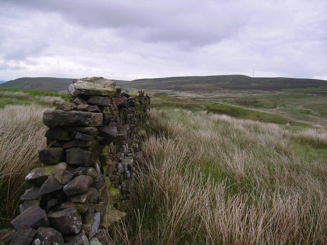
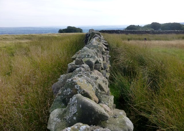
The hill is characterized by its rolling green slopes, covered in a patchwork of lush grasses and scattered wildflowers during the summer months. It is predominantly composed of sedimentary rocks, such as sandstone and limestone, which have been gradually shaped by weathering and erosion over millions of years. These geological formations add to the charm and beauty of Burbles Hill.
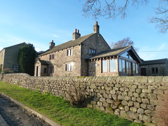
Access to the hill is facilitated by a network of well-maintained hiking trails, which wind their way up the hillside. These trails cater to visitors of all abilities, from casual walkers to seasoned hikers. The ascent to the summit can be moderately challenging, but the reward is the breathtaking panoramic view that awaits at the top.
The summit of Burbles Hill is marked by an ancient stone cairn, which has stood the test of time and serves as a testament to the hill's historical significance. It is believed that the cairn was used as a marker by early settlers to navigate the surrounding countryside.
Overall, Burbles Hill is a natural gem in Yorkshire, offering visitors an opportunity to immerse themselves in the beauty of the English countryside while enjoying panoramic views, invigorating hikes, and a sense of connection to the region's rich history.
If you have any feedback on the listing, please let us know in the comments section below.
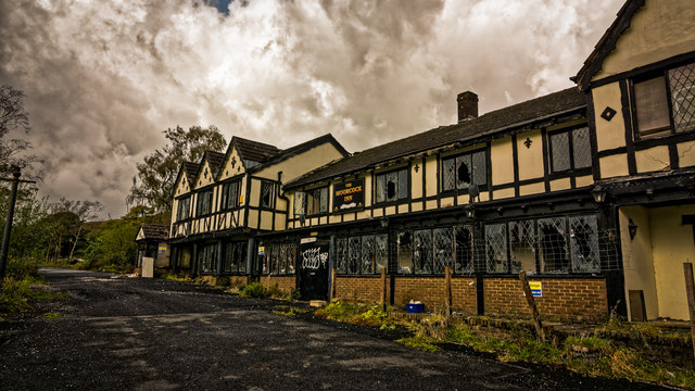
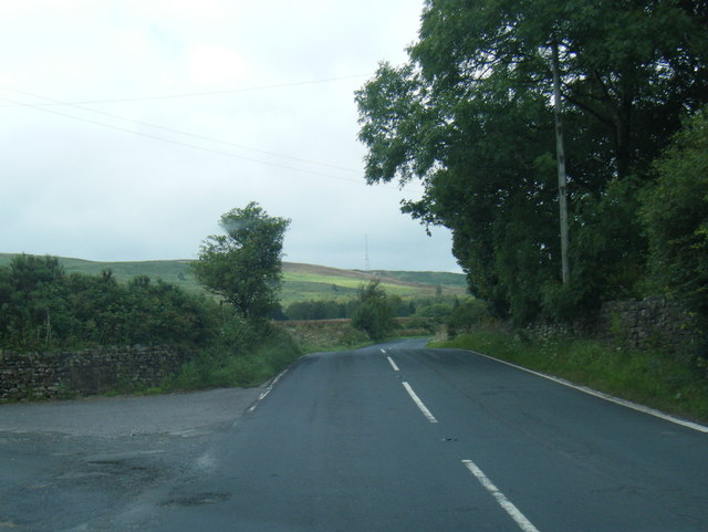
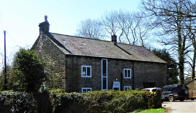
Burbles Hill Images
Images are sourced within 2km of 53.903168/-2.4461663 or Grid Reference SD7045. Thanks to Geograph Open Source API. All images are credited.


Burbles Hill is located at Grid Ref: SD7045 (Lat: 53.903168, Lng: -2.4461663)
Division: West Riding
Administrative County: Lancashire
District: Ribble Valley
Police Authority: Lancashire
What 3 Words
///joke.enough.stole. Near Waddington, Lancashire
Nearby Locations
Related Wikis

Bashall Eaves
Bashall Eaves is a village and civil parish in the Ribble Valley district of Lancashire, England, about four miles (6 km) west of Clitheroe. The placename...

Browsholme Hall
Browsholme Hall is a privately owned Tudor house in the parish of Bowland Forest Low in the borough of Ribble Valley, Lancashire (although historically...

St Helen's Church, Waddington
St Helen's Church is in the village of Waddington, Lancashire, England. It is an active Anglican parish church in the deanery of Whalley, the archdeaconry...

Waddington, Lancashire
Waddington is a small village, 2 miles (3 km) north-west of Clitheroe in the Ribble Valley, Lancashire, England. The population of the civil parish at...
Nearby Amenities
Located within 500m of 53.903168,-2.4461663Have you been to Burbles Hill?
Leave your review of Burbles Hill below (or comments, questions and feedback).