Braddup Wood
Wood, Forest in Yorkshire Ribble Valley
England
Braddup Wood
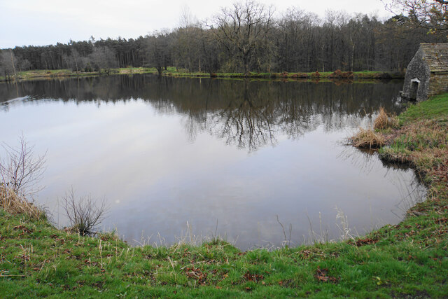
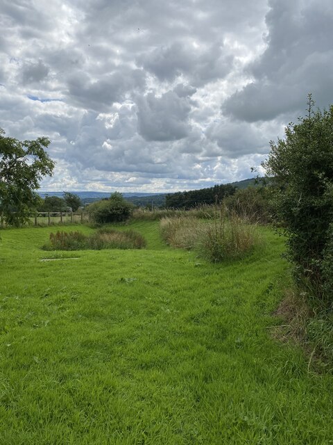
Braddup Wood is a picturesque forest located in the county of Yorkshire, England. Spanning over a vast area of land, this enchanting woodland is renowned for its natural beauty and diverse ecosystem.
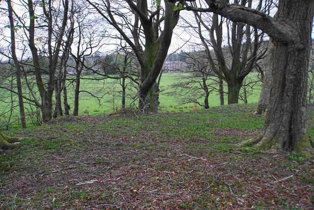
The wood is home to a wide range of tree species, including oak, beech, and birch, creating a mesmerizing tapestry of colors, especially during the autumn months when the leaves change to vibrant hues of gold and red. The forest floor is covered with a rich carpet of moss and ferns, adding to the overall charm of the woodland.
Braddup Wood is not only a haven for flora but also provides sanctuary to various fauna. It is a known habitat for numerous bird species, including woodpeckers, owls, and thrushes, making it a popular destination for birdwatchers. The forest also supports a thriving population of mammals such as deer, foxes, and rabbits, which can often be spotted throughout the area.
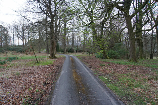
The wood offers a network of well-maintained walking trails, allowing visitors to explore its natural wonders. These pathways meander through the forest, leading to hidden clearings and tranquil streams, providing a serene atmosphere for those seeking peace and solitude.
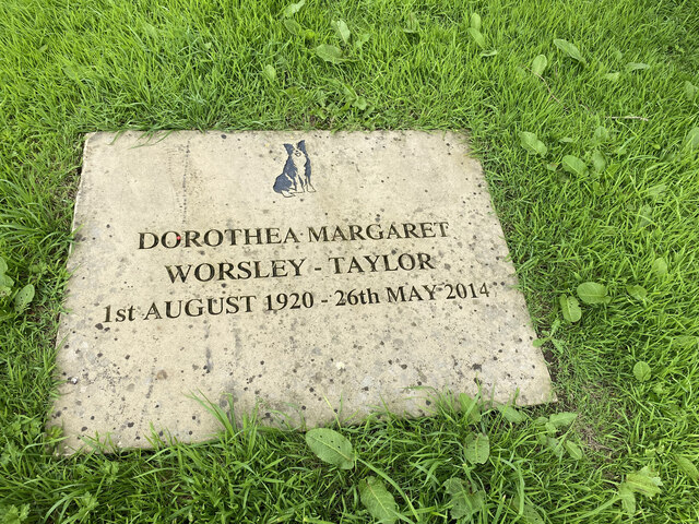
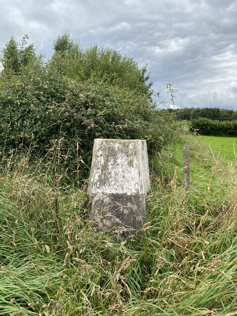
Braddup Wood holds significant historical value as well. It is believed to have ancient origins, with evidence of human activity dating back centuries. Archaeological discoveries, including remnants of ancient dwellings, have been found within its boundaries, providing a glimpse into the past.
Overall, Braddup Wood is a captivating destination for nature lovers, hikers, and history enthusiasts alike. Its rich biodiversity, striking scenery, and cultural significance make it a must-visit location in Yorkshire.
If you have any feedback on the listing, please let us know in the comments section below.
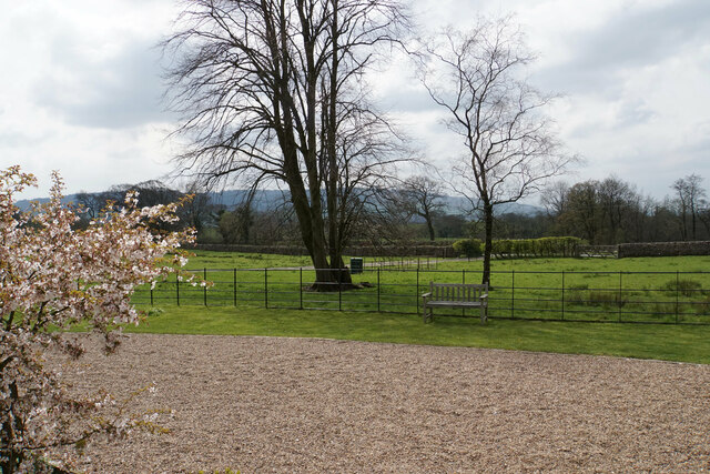
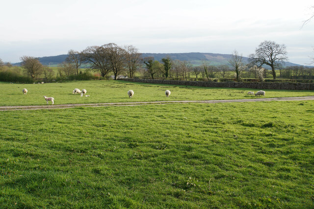
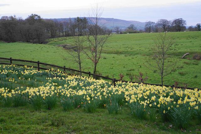
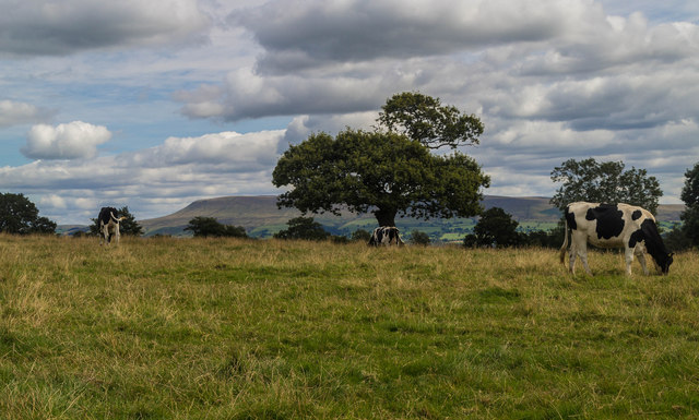
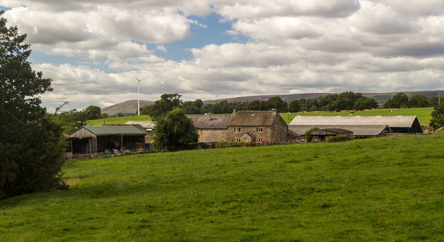
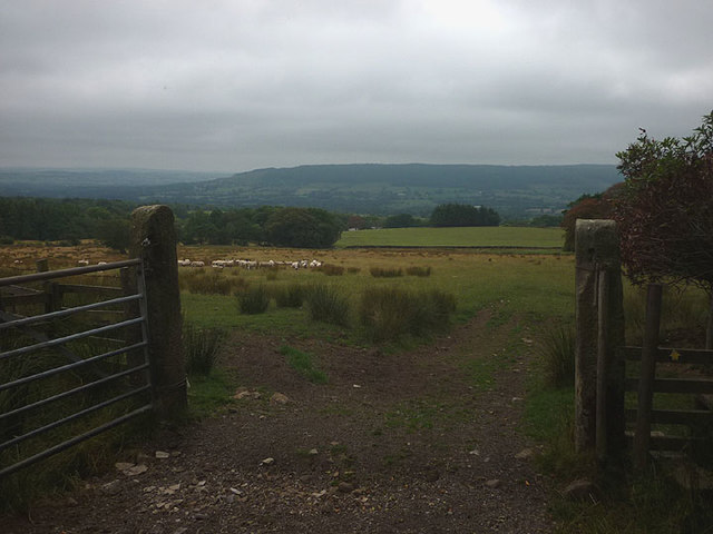
Braddup Wood Images
Images are sourced within 2km of 53.903566/-2.4574335 or Grid Reference SD7045. Thanks to Geograph Open Source API. All images are credited.


Braddup Wood is located at Grid Ref: SD7045 (Lat: 53.903566, Lng: -2.4574335)
Division: West Riding
Administrative County: Lancashire
District: Ribble Valley
Police Authority: Lancashire
What 3 Words
///girder.legs.regretted. Near Waddington, Lancashire
Nearby Locations
Related Wikis

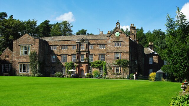
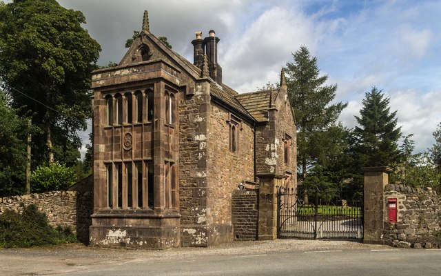
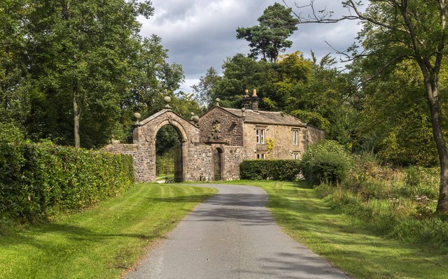
Browsholme Hall
Browsholme Hall is a privately owned Tudor house in the parish of Bowland Forest Low in the borough of Ribble Valley, Lancashire (although historically...

Bashall Eaves
Bashall Eaves is a village and civil parish in the Ribble Valley district of Lancashire, England, about four miles (6 km) west of Clitheroe. The placename...

Bowland Forest Low
Bowland Forest Low is a civil parish in the Ribble Valley district of Lancashire, England, covering some 5,500 acres (22 km2) of the Forest of Bowland...

Bowland Rural District
Bowland was a rural district in the West Riding of Yorkshire from 1894 to 1974. It was named after the Forest of Bowland, which it included. It was formed...

Cow Ark Farmhouse
Cow Ark Farmhouse is a historic building in the English parish of Bowland Forest Low, Lancashire. It is Grade II listed, built around 1780, and is a sandstone...

St Helen's Church, Waddington
St Helen's Church is in the village of Waddington, Lancashire, England. It is an active Anglican parish church in the deanery of Whalley, the archdeaconry...

Waddington, Lancashire
Waddington is a small village, 2 miles (3 km) north-west of Clitheroe in the Ribble Valley, Lancashire, England. The population of the civil parish at...

Higher Lees Farmhouse
Higher Lees Farmhouse is an historic building in the English parish of Bowland Forest Low, Lancashire. It is Grade II listed, built around 1780, and is...
Nearby Amenities
Located within 500m of 53.903566,-2.4574335Have you been to Braddup Wood?
Leave your review of Braddup Wood below (or comments, questions and feedback).