Jordan Hill

Hill, Mountain in Dorset

England

Jordan Hill

Lodmoor Nature Reserve
Lodmoor Nature Reserve Credit: don cload

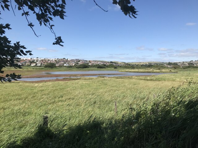
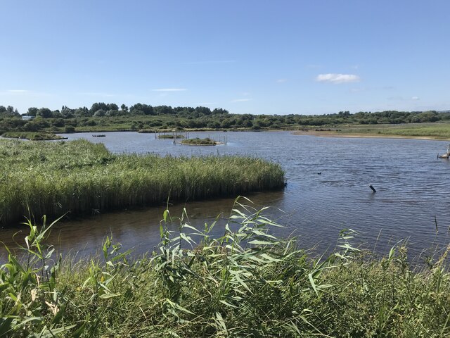
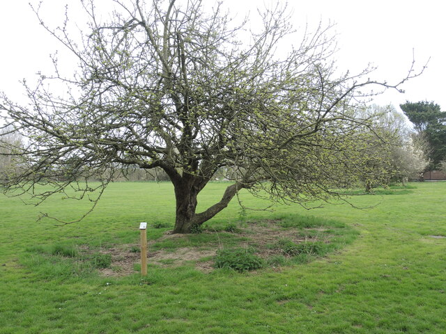
Jordan Hill is a prominent landmark located in the county of Dorset, England. Situated near the picturesque town of Swanage, it is a well-known hill that offers breathtaking views and attracts numerous visitors each year. Rising to an elevation of approximately 193 meters (633 feet), Jordan Hill is considered one of the highest points in the region, allowing visitors to enjoy panoramic vistas of the surrounding countryside and the English Channel.

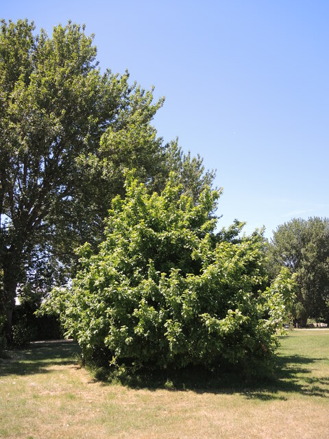
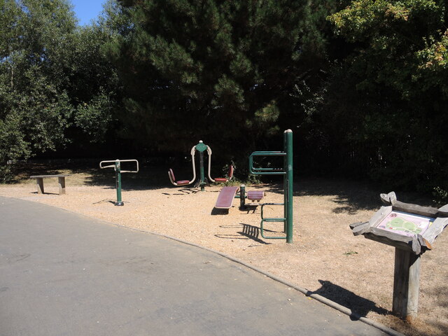
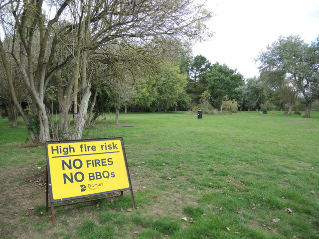
The hill is covered in lush greenery, with its slopes adorned with a variety of flora and fauna. It provides a haven for nature enthusiasts and hikers, who can explore the numerous walking trails that crisscross the area. The diverse ecosystem supports a range of wildlife, including rare bird species and small mammals.

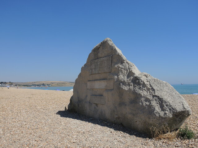
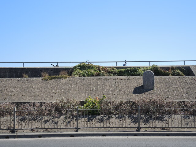
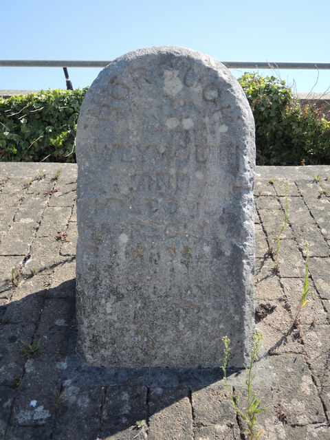
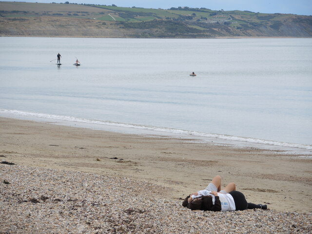
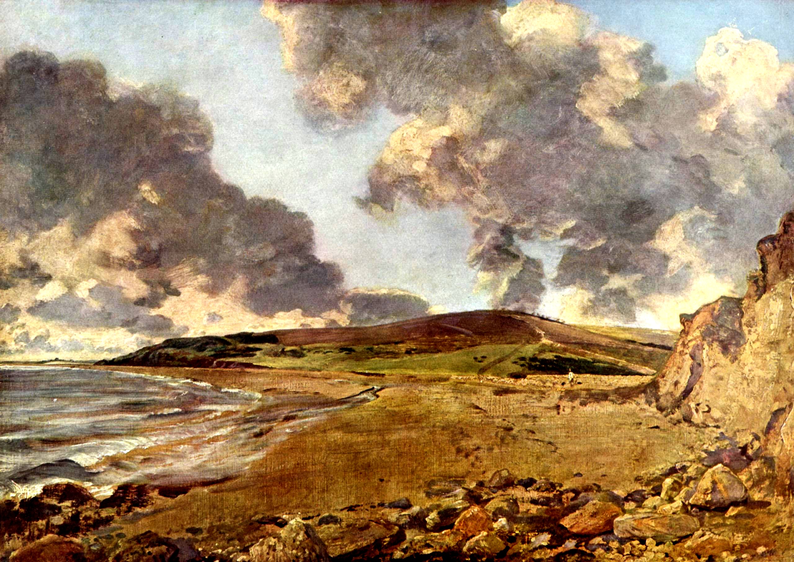
At the summit of Jordan Hill, there is a viewpoint that offers unparalleled views of the coastline, including the iconic Old Harry Rocks and the Isle of Wight on clear days. The hilltop also features a small stone marker, providing visitors with information about the surrounding landscape and landmarks.

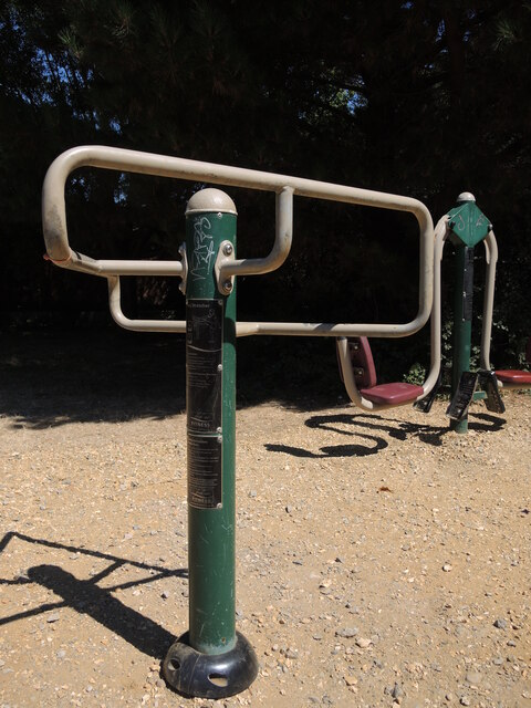
Access to Jordan Hill is relatively easy, with nearby parking facilities and well-marked footpaths leading to the summit. Due to its popularity, the hill can become busy during peak times, but its large size ensures that visitors can still find solitude and tranquility in its expansive surroundings.

Overall, Jordan Hill in Dorset is a stunning natural landmark that captivates visitors with its impressive views, diverse flora and fauna, and opportunities for outdoor exploration. Whether it's a leisurely walk or a challenging hike, the hill offers something for everyone, making it a must-visit destination in the area.

If you have any feedback on the listing, please let us know in the comments section below.

Jordan Hill Images

Images are sourced within 2km of 50.639074/-2.4277521 or Grid Reference SY6982. Thanks to Geograph Open Source API. All images are credited.

Lodmoor Nature Reserve
Lake at Lodmoor Nature Reserve
Heading towards Weymouth from Overcombe at dusk
Discussing the round Some golfers at the pitch and putt relax in the cafe.
Discussing the round
Some golfers at the pitch and putt relax in the cafe.
From a pip? In the Lodmoor Park is the miniature railway and right beside the track is an apple tree. It has grown well and has its own information plaque.
From a pip?
In the Lodmoor Park is the miniature railway and right beside the track is an apple tree. It has grown well and has its own information plaque.
New skatepark in Lodmoor A recent addition to the seafront attractions in Spring this year, the park features wooden ramps and is run on a not-for-profit basis.
New skatepark in Lodmoor
A recent addition to the seafront attractions in Spring this year, the park features wooden ramps and is run on a not-for-profit basis.
The Lodmoor Palladium A big top has appeared on Lodmoor! Several glamourous acts are advertised for the summer season but make sure you don't get run over by the miniature railway.
The Lodmoor Palladium
A big top has appeared on Lodmoor! Several glamourous acts are advertised for the summer season but make sure you don't get run over by the miniature railway.
Fresh air exercise equipment Lodmoor has a large green space around which is an open air exercise route. Can you guess what this nearest piece is for? Would you do yourself a mischief if you tried it? It is in fact a leg stretcher to ease those knotty hamstrings.
Fresh air exercise equipment
Lodmoor has a large green space around which is an open air exercise route. Can you guess what this nearest piece is for? Would you do yourself a mischief if you tried it? It is in fact a leg stretcher to ease those knotty hamstrings.
Fresh air gym Lodmoor park has a perimeter exercise route, designed for adults. There is a smaller one for younger athletes further along.
Fresh air gym
Lodmoor park has a perimeter exercise route, designed for adults. There is a smaller one for younger athletes further along.
A big stone on Overcombe Beach The piece of stone (or perhaps that should be boulder) is inscribed, but sadly almost all the text has melted away in the maritime environment. The lower panel shows reference to Weymouth Civic Society, 1996. Calls for it to be recut have been ongoing for a decade or more now.
A big stone on Overcombe Beach
The piece of stone (or perhaps that should be boulder) is inscribed, but sadly almost all the text has melted away in the maritime environment. The lower panel shows reference to Weymouth Civic Society, 1996. Calls for it to be recut have been ongoing for a decade or more now.
A stone set into the elevated roadway The Preston Road runs along the shoreline between Weymouth and Preston, and has been improved over the years. However, a large stone has been retained in amongst the embankment. See <a href="https://www.geograph.org.uk/photo/7303763">SY6880 : Weymouth boundary stone</a> for a closer look.
A stone set into the elevated roadway
The Preston Road runs along the shoreline between Weymouth and Preston, and has been improved over the years. However, a large stone has been retained in amongst the embankment. See SY6880 : Weymouth boundary stone for a closer look.
Weymouth boundary stone Although the modern road has almost encircled it, an old boundary stone remains at its post. Time has eroded some of the inscriptions, but it may read: 'Borough of Weymouth and Overcombe, ?, 189?', with other words at the bottom too poor to make out.
Weymouth boundary stone
Although the modern road has almost encircled it, an old boundary stone remains at its post. Time has eroded some of the inscriptions, but it may read: 'Borough of Weymouth and Overcombe, ?, 189?', with other words at the bottom too poor to make out.
A fiery summer The summer of 2022 brought record high temperatures and prolonged drought condiditons. Lodmoor is a popular but vulnerable spot, even by September.
A fiery summer
The summer of 2022 brought record high temperatures and prolonged drought condiditons. Lodmoor is a popular but vulnerable spot, even by September.
Empty for the winter The beach huts on Brunswick Terrace are closed, the pools empty and the holiday-makers have gone home for the season. Only the gulls are able to enjoy the peace.
Empty for the winter
The beach huts on Brunswick Terrace are closed, the pools empty and the holiday-makers have gone home for the season. Only the gulls are able to enjoy the peace.
Still warm enough for a cuddle Preston Sands is largely empty as the grey but dry weather marks the Queen's funeral. Although it's no longer the height of summer it is still nice enough to lie on the sands.
Still warm enough for a cuddle
Preston Sands is largely empty as the grey but dry weather marks the Queen's funeral. Although it's no longer the height of summer it is still nice enough to lie on the sands.
Play area off Telford Close
First showing of the green The apple tree in the park is just about waking up from the winter slumber. See   <a href="https://www.geograph.org.uk/photo/7204523">SY6880 : From a pip?</a> for a look back at it last summer.
First showing of the green
The apple tree in the park is just about waking up from the winter slumber. See SY6880 : From a pip? for a look back at it last summer.
78 Hillview, Weymouth Bay, Haven Site
Show me another place!

Jordan Hill is located at Grid Ref: SY6982 (Lat: 50.639074, Lng: -2.4277521)

Unitary Authority: Dorset

Police Authority: Dorset

What 3 Words

///womb.lighters.barstool. Near Overcombe, Dorset

Nearby Locations

Jordan Hill

Related Wikis

Jordan Hill, Dorset

See also Jordan Hill (disambiguation).Jordan Hill (50 m) is located near the coast close to the village of Preston, just to the east of Weymouth, Dorset...

Jordan Hill Roman Temple

Jordan Hill Roman Temple is a Romano-Celtic temple and Roman ruin situated on Jordan Hill above Bowleaze Cove in the eastern suburbs of Weymouth in Dorset...

Furzy Cliff

Furzy Cliff, also known as Jordan's Cliff, is located on the coast near the village of Preston, just to the east of Weymouth in Dorset, England. It is...

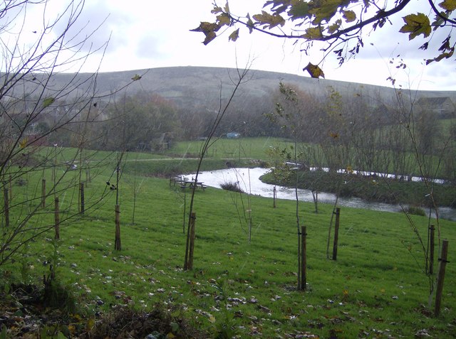
River Jordan, Dorset

The River Jordan (archaically known as the River Jordon) is a river in the county of Dorset, England. The river is approximately 3 miles (4.8 km) long...

Bowleaze Cove

Bowleaze Cove is a small sand and shingle beach, near the village of Preston, just to the northeast of Weymouth, Dorset, England. The cove is on the Jurassic...

Riviera Hotel, Weymouth

Riviera Hotel is a hotel at Bowleaze Cove, Weymouth, Dorset, England. Overlooking Weymouth Bay, the hotel was built in 1936–37 and has been a Grade II...

Overcombe

Overcombe is an coastal area in Preston in south Dorset, England, situated on top of cliffs 2 miles (3.2 km) northeast of Weymouth. The River Jordan flows...

Preston, Dorset

Preston is a coastal village and suburb of Weymouth in south Dorset, England. It is approximately 3 kilometres (2 mi) north-east of Weymouth town centre...

Nearby Amenities

Located within 500m of 50.639074,-2.4277521
Source: PGS
Lat/Long: 50.6345864/-2.4272398
Source: PGS
Lat/Long: 50.6348856/-2.4263109
Source: PGS
Lat/Long: 50.6353133/-2.425033
Source: PGS
Lat/Long: 50.6357216/-2.4238109
Source: PGS
Lat/Long: 50.6360822/-2.4226682
Turning Circle
Lat/Long: 50.642092/-2.4263668
Turning Circle
Lat/Long: 50.6417355/-2.430751
Turning Circle
Lat/Long: 50.6417852/-2.4297881
Turning Circle
Lat/Long: 50.6417303/-2.4280538
Overcombe
Is In: Dorset, England, UK
Place: suburb
Wikidata: Q7113604
Lat/Long: 50.6354106/-2.4310797
Cafe
The Lookout Cafe
Addr Housename: The Lookout Cafe
Addr Postcode: DT3 6PL
Addr Street: Bowleaze Coveway
Cuisine: regional
Fhrs Id: 992556
Lat/Long: 50.6360452/-2.4285561
Barrier: stile
Lat/Long: 50.6374521/-2.4293814
Barrier: stile
Source: survey
Lat/Long: 50.6374062/-2.4269245
Turning Circle
Lat/Long: 50.6427104/-2.4262453
Turning Circle
Lat/Long: 50.6421579/-2.4239467
Post Box
Post Box Design: type_n
Post Box Type: lamp
Ref: DT3 300D
Royal Cypher: EIIR
Royal Cypher Wikidata: Q33102113
Lat/Long: 50.6425784/-2.4281269
Bench
Backrest: yes
Lat/Long: 50.6357753/-2.4272749
Bench
Backrest: yes
Lat/Long: 50.6365352/-2.4241369
Street Lamp
Lat/Long: 50.6427329/-2.4263689
Waste Disposal
Lat/Long: 50.6428771/-2.4256463
Waste Disposal
Lat/Long: 50.6426409/-2.4248503
Generator Method: photovoltaic
Generator Output Electricity: yes
Generator Source: solar
Generator Type: solar_photovoltaic_panel
Location: roof
Power: generator
Lat/Long: 50.6382601/-2.4307466
Generator Method: photovoltaic
Generator Output Electricity: yes
Generator Source: solar
Generator Type: solar_photovoltaic_panel
Location: roof
Power: generator
Lat/Long: 50.6415669/-2.4331284
Generator Method: photovoltaic
Generator Output Electricity: yes
Generator Source: solar
Generator Type: solar_photovoltaic_panel
Location: roof
Power: generator
Lat/Long: 50.6432662/-2.4287054
Generator Method: photovoltaic
Generator Output Electricity: yes
Generator Source: solar
Generator Type: solar_photovoltaic_panel
Location: roof
Power: generator
Lat/Long: 50.6432577/-2.4288368
Generator Method: photovoltaic
Generator Output Electricity: yes
Generator Source: solar
Generator Type: solar_photovoltaic_panel
Location: roof
Power: generator
Lat/Long: 50.642346/-2.4292043
Generator Method: photovoltaic
Generator Output Electricity: yes
Generator Source: solar
Generator Type: solar_photovoltaic_panel
Location: roof
Power: generator
Lat/Long: 50.6412369/-2.4289146
Generator Method: photovoltaic
Generator Output Electricity: yes
Generator Source: solar
Generator Type: solar_photovoltaic_panel
Location: roof
Power: generator
Lat/Long: 50.6413934/-2.4281421
Generator Method: photovoltaic
Generator Output Electricity: yes
Generator Source: solar
Generator Type: solar_photovoltaic_panel
Location: roof
Power: generator
Lat/Long: 50.6420262/-2.4272409
Generator Method: photovoltaic
Generator Output Electricity: yes
Generator Source: solar
Generator Type: solar_photovoltaic_panel
Location: roof
Power: generator
Lat/Long: 50.6369996/-2.4257657
Generator Method: photovoltaic
Generator Output Electricity: yes
Generator Source: solar
Generator Type: solar_photovoltaic_panel
Location: roof
Power: generator
Lat/Long: 50.6376137/-2.4307466
Generator Method: photovoltaic
Generator Output Electricity: yes
Generator Source: solar
Generator Type: solar_photovoltaic_panel
Location: roof
Power: generator
Lat/Long: 50.6359738/-2.4309853
Generator Method: photovoltaic
Generator Output Electricity: yes
Generator Source: solar
Generator Type: solar_photovoltaic_panel
Location: roof
Power: generator
Lat/Long: 50.63595/-2.4306607
Generator Method: photovoltaic
Generator Output Electricity: yes
Generator Source: solar
Generator Type: solar_photovoltaic_panel
Location: roof
Power: generator
Lat/Long: 50.6359585/-2.4304274
Generator Method: photovoltaic
Generator Output Electricity: yes
Generator Source: solar
Generator Type: solar_photovoltaic_panel
Location: roof
Power: generator
Lat/Long: 50.6395121/-2.4339357
Generator Method: photovoltaic
Generator Output Electricity: yes
Generator Source: solar
Generator Type: solar_photovoltaic_panel
Location: roof
Power: generator
Lat/Long: 50.6396346/-2.4339196
Shop: gift
Lat/Long: 50.6368707/-2.4215702
Post Box
Collection Times: Mo-Fr 09:00; Sa 07:00
Operator: Royal Mail
Post Box Type: lamp
Ref: DT3 102D
Royal Cypher: EIIR
Royal Cypher Wikidata: Q33102113
Source: survey
Survey Date: 2022-12-03
Lat/Long: 50.639097/-2.429329
Generator Method: photovoltaic
Generator Output Electricity: yes
Generator Source: solar
Generator Type: solar_photovoltaic_panel
Location: roof
Power: generator
Lat/Long: 50.642346/-2.4293116
Generator Method: photovoltaic
Generator Output Electricity: yes
Generator Source: solar
Generator Type: solar_photovoltaic_panel
Location: roof
Power: generator
Lat/Long: 50.6423324/-2.4287671
Generator Method: photovoltaic
Generator Output Electricity: yes
Generator Source: solar
Generator Type: solar_photovoltaic_panel
Location: roof
Power: generator
Lat/Long: 50.642329/-2.4287081
Generator Method: photovoltaic
Generator Output Electricity: yes
Generator Source: solar
Generator Type: solar_photovoltaic_panel
Location: roof
Power: generator
Lat/Long: 50.6406144/-2.4289683
Generator Method: photovoltaic
Generator Output Electricity: yes
Generator Source: solar
Generator Type: solar_photovoltaic_panel
Location: roof
Power: generator
Lat/Long: 50.6405905/-2.429148
Generator Method: photovoltaic
Generator Output Electricity: yes
Generator Source: solar
Generator Type: solar_photovoltaic_panel
Location: roof
Power: generator
Lat/Long: 50.6405361/-2.4293706
Generator Method: photovoltaic
Generator Output Electricity: yes
Generator Source: solar
Generator Type: solar_photovoltaic_panel
Location: roof
Power: generator
Lat/Long: 50.6401993/-2.4298909
Generator Method: photovoltaic
Generator Output Electricity: yes
Generator Source: solar
Generator Type: solar_photovoltaic_panel
Location: roof
Power: generator
Lat/Long: 50.6399833/-2.4292204
Generator Method: photovoltaic
Generator Output Electricity: yes
Generator Source: solar
Generator Type: solar_photovoltaic_panel
Location: roof
Power: generator
Lat/Long: 50.6399901/-2.4291801
Generator Method: photovoltaic
Generator Output Electricity: yes
Generator Source: solar
Generator Type: solar_photovoltaic_panel
Location: surface
Power: generator
Lat/Long: 50.6371952/-2.4276969
Generator Method: photovoltaic
Generator Output Electricity: yes
Generator Source: solar
Generator Type: solar_photovoltaic_panel
Location: surface
Power: generator
Lat/Long: 50.6372054/-2.4276111
Generator Method: photovoltaic
Generator Output Electricity: yes
Generator Source: solar
Generator Type: solar_photovoltaic_panel
Location: surface
Power: generator
Lat/Long: 50.6371884/-2.4275038
Generator Method: photovoltaic
Generator Output Electricity: yes
Generator Source: solar
Generator Type: solar_photovoltaic_panel
Location: surface
Power: generator
Lat/Long: 50.6371918/-2.4273884
Bus Stop
Melstock Avenue
Alt Name: Sunningdale Rise
Bus: yes
Naptan AtcoCode: 1200DOB20275
Naptan Bearing: N
Naptan CommonName: Sunningdale Rise
Naptan Indicator: N-bound
Naptan NaptanCode: doramagt
Naptan PlusbusZoneRef: WEYMTH
Naptan Street: Preston Road
Naptan Verified: no
Public Transport: platform
Lat/Long: 50.6391302/-2.4323284
Bus Stop
Melstock Avenue
Alt Name: Sunningdale Rise
Bus: yes
Naptan AtcoCode: 1200DOB20546
Naptan Bearing: S
Naptan CommonName: Sunningdale Rise
Naptan Indicator: S-bound
Naptan NaptanCode: doramagw
Naptan PlusbusZoneRef: WEYMTH
Naptan Street: Preston Road
Naptan Verified: no
Public Transport: platform
Lat/Long: 50.6390325/-2.432159
The data included in this document is from www.openstreetmap.org. The data is made available under ODbL.

Have you been to Jordan Hill?

Leave your review of Jordan Hill below (or comments, questions and feedback).