Beech Hill
Hill, Mountain in Gloucestershire
England
Beech Hill

Beech Hill is a prominent hill located in the county of Gloucestershire, England. Situated in the picturesque Cotswolds region, it forms part of the undulating landscape that characterizes this area. With an elevation of approximately 200 meters (656 feet), Beech Hill is not classified as a mountain but is rather classified as a hill.
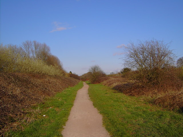
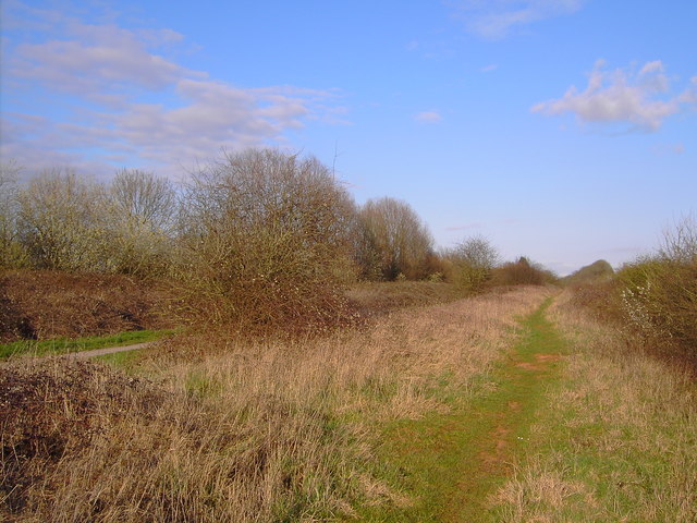
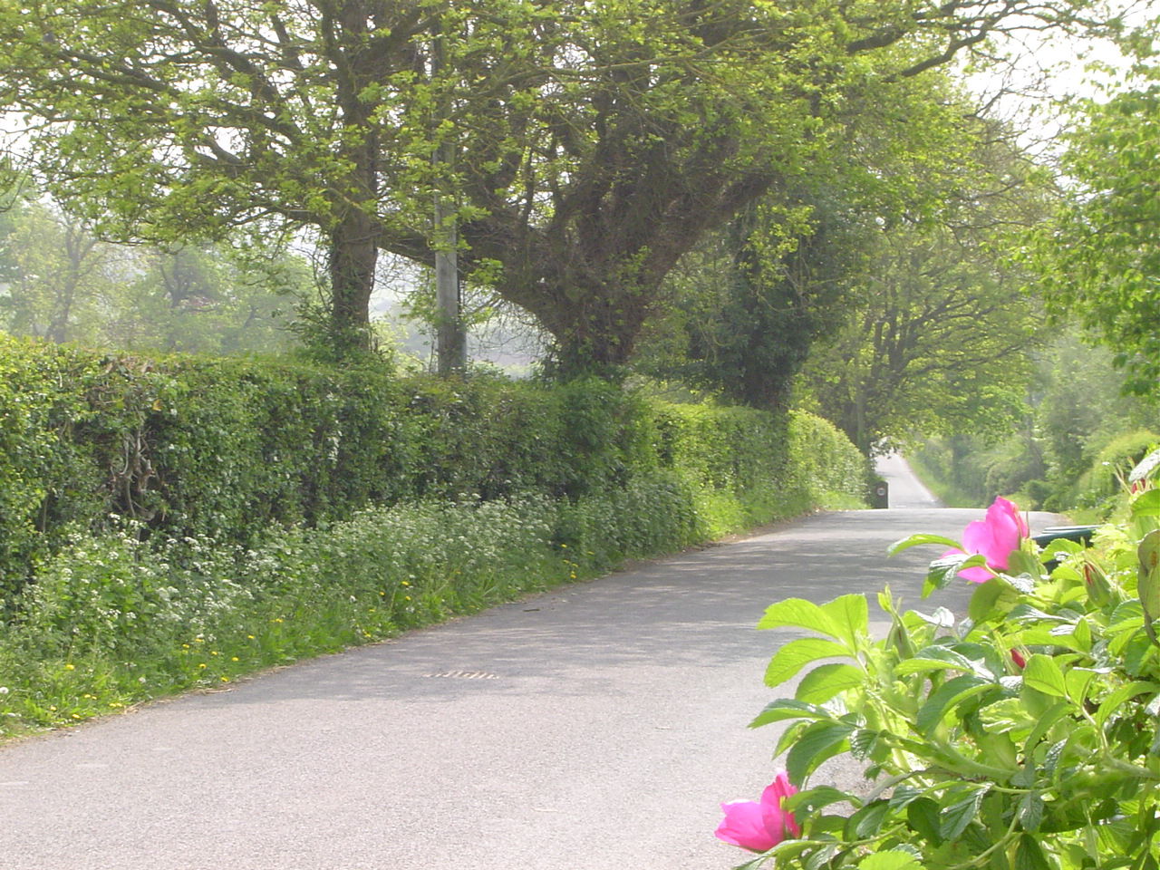
Covered in lush greenery, Beech Hill gets its name from the abundance of beech trees that grace its slopes. These trees contribute to the hill's scenic beauty and provide a habitat for various wildlife species. The hill offers stunning panoramic views of the surrounding countryside, including the rolling hills and charming villages that dot the landscape.
Beech Hill is a popular destination for outdoor enthusiasts and nature lovers. Its well-maintained footpaths and trails provide opportunities for hiking and walking, allowing visitors to explore the hill and its surroundings at their own pace. The hill also offers a tranquil setting for picnics, allowing visitors to relax and enjoy the peaceful ambiance.
In addition to its natural beauty, Beech Hill holds historical significance. The area surrounding the hill is known to have been inhabited since ancient times, and remnants of Iron Age settlements have been discovered in the vicinity. This adds an element of archaeological interest to the hill, attracting those fascinated by the region's past.
Overall, Beech Hill in Gloucestershire offers a unique blend of natural splendor and historical intrigue. Its idyllic location and diverse flora and fauna make it a must-visit destination for those seeking a serene escape in the heart of the Cotswolds.
If you have any feedback on the listing, please let us know in the comments section below.
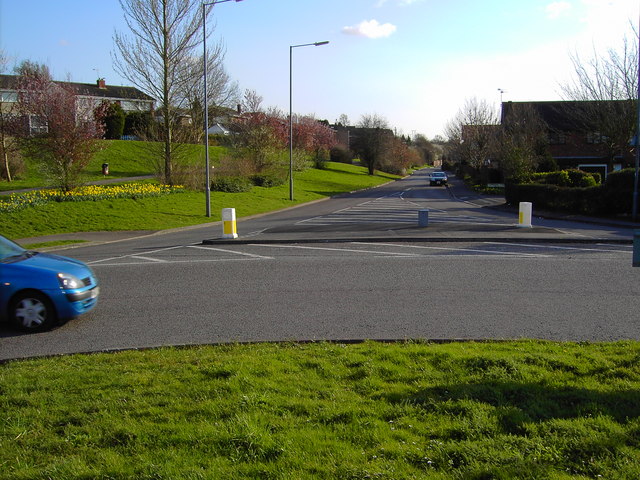
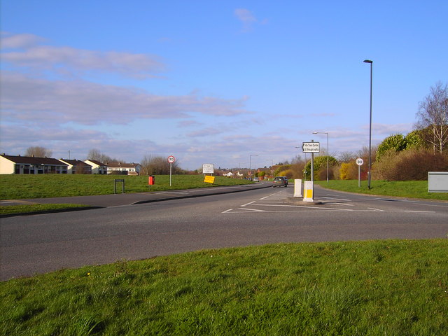
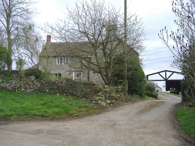
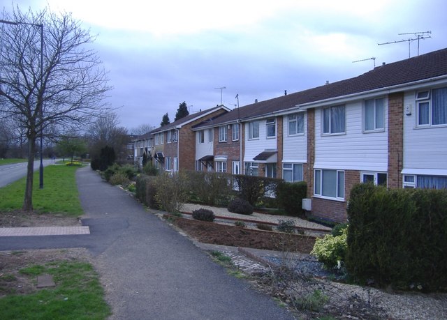
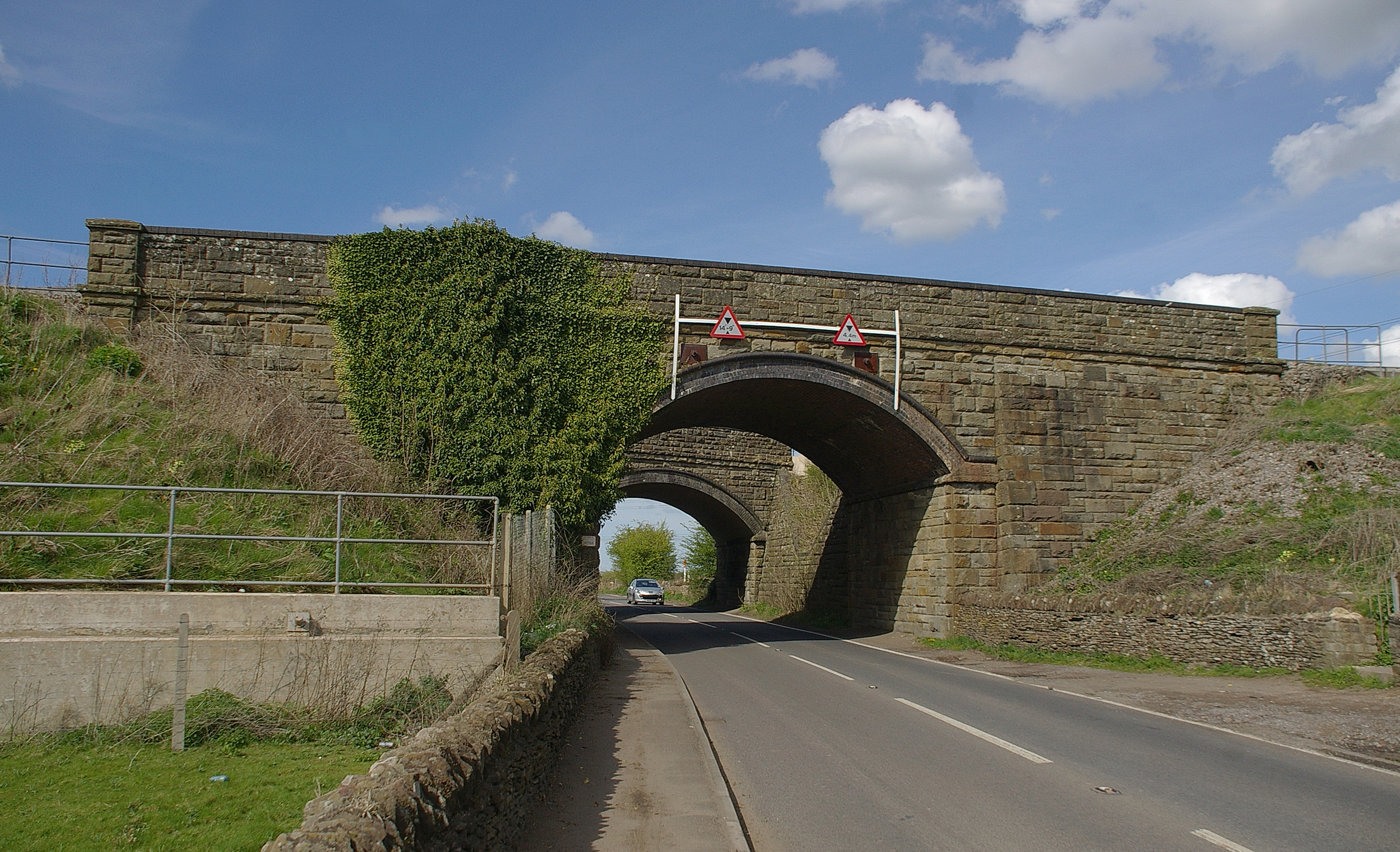
Beech Hill Images
Images are sourced within 2km of 51.528044/-2.4360784 or Grid Reference ST6981. Thanks to Geograph Open Source API. All images are credited.


Beech Hill is located at Grid Ref: ST6981 (Lat: 51.528044, Lng: -2.4360784)
Unitary Authority: South Gloucestershire
Police Authority: Avon and Somerset
What 3 Words
///boss.highbrow.plants. Near Yate, Gloucestershire
Nearby Locations
Related Wikis
Westerleigh Junction
Westerleigh Junction is a railway junction in Gloucestershire, England, where the Cross Country Route (XCR) from York to Bristol Temple Meads meets the...

Mayshill
Mayshill or Mays Hill is a hamlet located in the Parish of Westerleigh, South Gloucestershire, England. It is located just off the A432 (Badminton Road...
Nibley, South Gloucestershire
Nibley is a village in the parish of Westerleigh, South Gloucestershire, England; it is situated about 1.5 miles (2.4 km) west of Yate.The village of North...
Yate Park and Ride
Yate Park and Ride is a park and ride facility located off the A432 road on the edge of Yate. == History == Planning permission was approved in November...
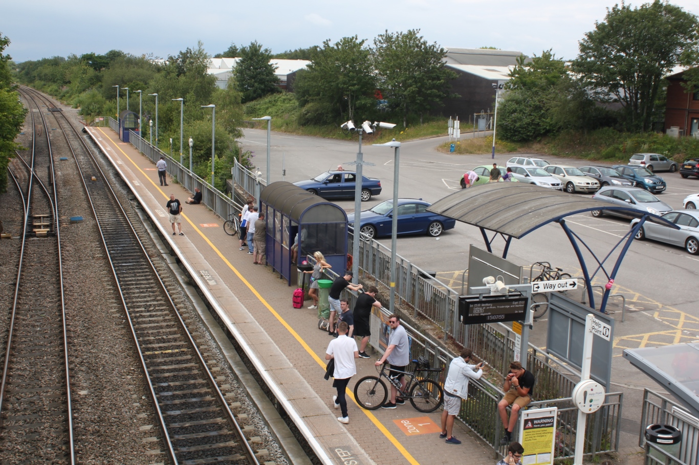
Yate railway station
Yate railway station serves the town of Yate in South Gloucestershire, in south west England. The station is located on the main Bristol to Birmingham...
Ram Hill
Ram Hill is a hamlet in the civil parish of Westerleigh and Coalpit Heath, in the South Gloucestershire district, in the ceremonial county of Gloucestershire...
Westerleigh
Westerleigh is a clustered village in the civil parish of Westerleigh and Coalpit Heath (which includes Henfield) in the South Gloucestershire district...

Ram Hill Colliery
Ram Hill Colliery, (grid reference ST679803) was a privately owned colliery in the Coalpit Heath area north-east of Bristol, England. It operated between...
Nearby Amenities
Located within 500m of 51.528044,-2.4360784Have you been to Beech Hill?
Leave your review of Beech Hill below (or comments, questions and feedback).