Chapel Hill

Hill, Mountain in Dorset

England

Chapel Hill

Road to Winterborne Herringston
Road to Winterborne Herringston Credit: Roy Hughes

Chapel Hill is a prominent hill located in the picturesque county of Dorset, England. Situated in the heart of the Dorset Downs, this natural elevation offers breathtaking panoramic views of the surrounding countryside. Standing at an impressive height of 239 meters (784 feet) above sea level, Chapel Hill is known for its distinct conical shape, making it a notable landmark in the region.

The hill derives its name from the presence of a medieval chapel that once stood atop its summit. Although the chapel no longer stands today, the area still retains a sense of sacredness and historical significance. Visitors to Chapel Hill can explore the remnants of the chapel's foundations, which offer glimpses into the past.

The hill is a popular destination for hikers, nature enthusiasts, and photographers, who are drawn to its beauty and tranquility. As one ascends the hill, they are rewarded with breathtaking views of the rolling hills, lush green meadows, and quaint villages that dot the landscape.

Chapel Hill is home to a diverse range of flora and fauna, making it a haven for wildlife. The area is known for its vibrant wildflower displays during the summer months, attracting butterflies and bees. It is also home to various species of birds, including skylarks and kestrels, which can be spotted soaring through the skies.

For those seeking outdoor activities, Chapel Hill offers numerous walking and cycling trails that cater to all levels of fitness. Whether it's a leisurely stroll to enjoy the scenery or a more challenging hike to reach the summit, there is something for everyone.

Overall, Chapel Hill is a captivating natural landmark that showcases the beauty of Dorset's countryside. Its rich history, stunning views, and abundant wildlife make it a must-visit destination for visitors to the area.

If you have any feedback on the listing, please let us know in the comments section below.
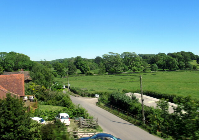
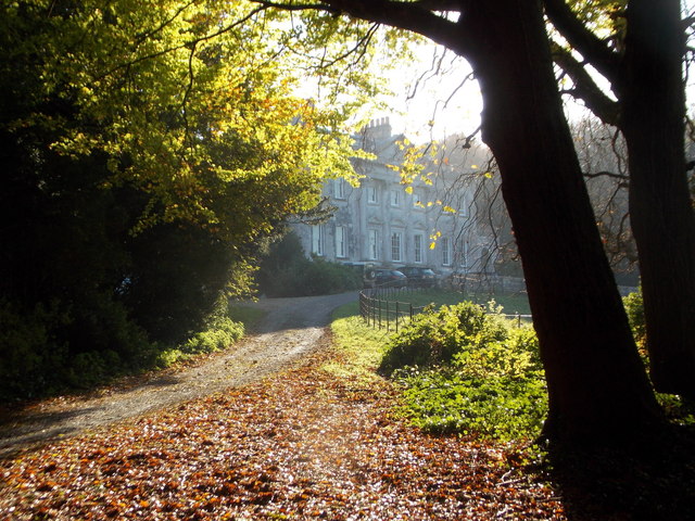
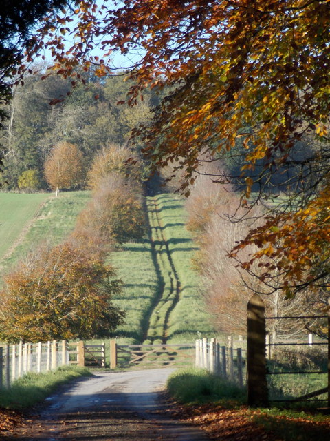
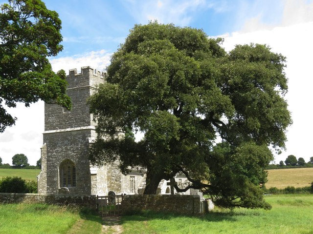
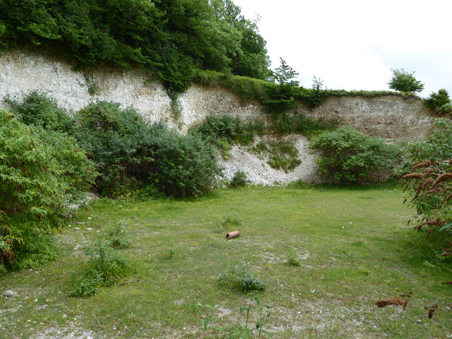
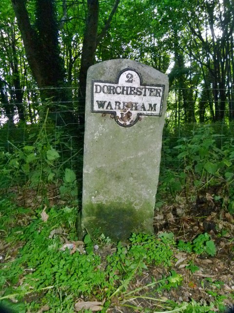
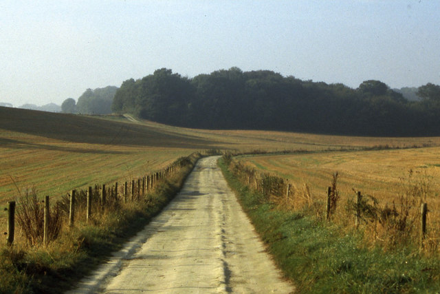
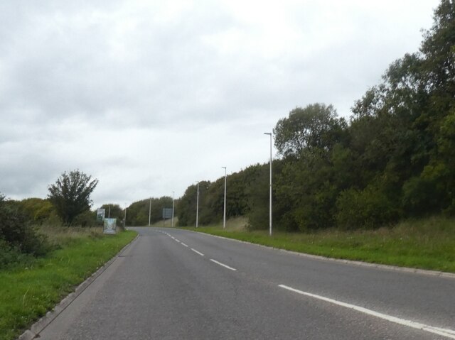
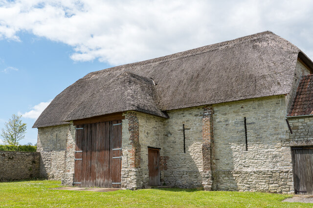
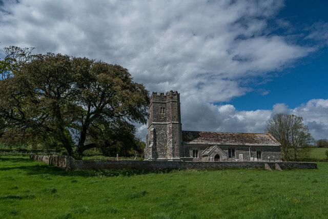
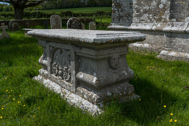
Chapel Hill Images

Images are sourced within 2km of 50.689576/-2.4280982 or Grid Reference SY6987. Thanks to Geograph Open Source API. All images are credited.

Road to Winterborne Herringston
View towards Maiden's Castle from the A354 at Monkton Hill
Dorchester Kingdom Hall of Jehovah’s Witnesses Off Westmouth Avenue.
Dorchester Kingdom Hall of Jehovah’s Witnesses
Off Westmouth Avenue.
A35/A354 roundabout
A35/A354 roundabout
Winterborne Came: an autumny view of Came House Looking along the driveway to the house, with leaves all around.
Winterborne Came: an autumny view of Came House
Looking along the driveway to the house, with leaves all around.
Winterborne Came: footpath heading north A footpath on a broad track leads northwards from the village; we are looking from just within the gateway of Came Park.
Winterborne Came: footpath heading north
A footpath on a broad track leads northwards from the village; we are looking from just within the gateway of Came Park.
Whitcombe Church, near Broadmayne, Dorset The church has no dedication but was built in the 12th Century. It is no longer used for regular worship, but several services are held each year in this delightful rural church.
Whitcombe Church, near Broadmayne, Dorset
The church has no dedication but was built in the 12th Century. It is no longer used for regular worship, but several services are held each year in this delightful rural church.
Brick Hill Plantation, Jubilee Trail and Cole Hill Wood
Chalk Pit on Whitcombe Hill
Whitcombe Church
Whitcombe Church
Old Milestone by the A352, Winterborne Came Metal plate attached to stone post by the A352, in parish of Winterborne Came (West Dorset District), South of junction to Winterborne Herringston, 2m back from road on weed covered verge, on East-southeast side of road. Dorset 1 & 4 (iron plated), erected by the Dorchester & Wool Turnpike Trust in the 19th century. 

Inscription reads:-
2
DORCHESTER
WAREHAM
15

Milestone Society National ID: DO_DOWA02.
Old Milestone by the A352, Winterborne Came
Metal plate attached to stone post by the A352, in parish of Winterborne Came (West Dorset District), South of junction to Winterborne Herringston, 2m back from road on weed covered verge, on East-southeast side of road. Dorset 1 & 4 (iron plated), erected by the Dorchester & Wool Turnpike Trust in the 19th century. Inscription reads:- 2 DORCHESTER WAREHAM 15 Milestone Society National ID: DO_DOWA02.
1967 Morris Minor 1000 Spotted in Dorchester
1967 Morris Minor 1000
Spotted in Dorchester
On the Jubilee Trail south of Winterbourne Came
A352 south of Mount Pleasant Approaching the Max Gate roundabout and the Dorchester bypass
A352 south of Mount Pleasant
Approaching the Max Gate roundabout and the Dorchester bypass
Tithe Barn, Whitcombe Restored in 2008 but a lovely old barn. 


<span class="nowrap"><a title="https://en.wikipedia.org/wiki/Whitcombe,_Dorset" rel="nofollow ugc noopener" href="https://en.wikipedia.org/wiki/Whitcombe,_Dorset">Link</a><img style="margin-left:2px;" alt="External link" title="External link - shift click to open in new window" src="https://s1.geograph.org.uk/img/external.png" width="10" height="10"/></span>
Tithe Barn, Whitcombe
Restored in 2008 but a lovely old barn. LinkExternal link
Whitcombe Church (Redundant) The nave of Whitcombe Church dates from the 12th century, with the chancel being added in the 15th. The tower was added in the late 16th century.

Grade I Listed and in the care of Churches Conservation Trust.

<span class="nowrap"><a title="https://en.wikipedia.org/wiki/Whitcombe_Church" rel="nofollow ugc noopener" href="https://en.wikipedia.org/wiki/Whitcombe_Church">Link</a><img style="margin-left:2px;" alt="External link" title="External link - shift click to open in new window" src="https://s1.geograph.org.uk/img/external.png" width="10" height="10"/></span>
Whitcombe Church (Redundant)
The nave of Whitcombe Church dates from the 12th century, with the chancel being added in the 15th. The tower was added in the late 16th century. Grade I Listed and in the care of Churches Conservation Trust. LinkExternal link
Melchisedeck Gillet Grave (1680), Whitcombe Portland Stone grave Inscription is Latin :- "Melchisedeck Gillet ... Aetatis 75 Qui Obiit 6 Sept 1680"

Melchisedeck Gillet who died aged 75 on 6th September 1680, and Christiane his wife. (I think :) )
Melchisedeck Gillet Grave (1680), Whitcombe
Portland Stone grave Inscription is Latin :- "Melchisedeck Gillet ... Aetatis 75 Qui Obiit 6 Sept 1680" Melchisedeck Gillet who died aged 75 on 6th September 1680, and Christiane his wife. (I think :) )
Came View Roundabout on the A352
Show me another place!

Chapel Hill is located at Grid Ref: SY6987 (Lat: 50.689576, Lng: -2.4280982)

Unitary Authority: Dorset

Police Authority: Dorset

What 3 Words

///screeches.trash.bulldozer. Near Dorchester, Dorset

Related Wikis

Winterborne Farringdon

Winterborne Farringdon (or Winterbourne Farringdon) is a deserted village in Dorset, England, 1.5 miles south of Dorchester. Its lands are now incorporated...
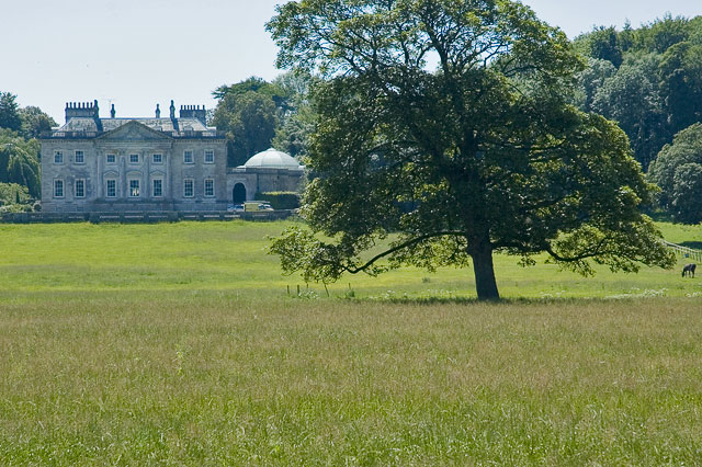
Came House

Came House is a privately owned country house next to the village of Winterborne Came, in Dorset, England. Built in the mid-18th century, it is a Grade...

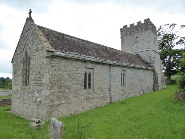
St Peter's Church, Winterborne Came

St Peter's Church in Winterborne Came, Dorset, England was built in the 14th century. It is recorded in the National Heritage List for England as a designated...

Winterborne Came

Winterborne Came is a small dispersed settlement and civil parish in the county of Dorset in England, situated in the west of the county, approximately...

Nearby Amenities

Located within 500m of 50.689576,-2.4280982
Material: wood
Power: pole
Source: bing
Lat/Long: 50.6863761/-2.4236541
Material: wood
Power: pole
Source: bing
Lat/Long: 50.6863888/-2.4314875
Material: wood
Power: pole
Source: bing
Lat/Long: 50.6866378/-2.4255263
Material: wood
Power: pole
Source: bing
Lat/Long: 50.6868145/-2.4271356
Material: wood
Power: pole
Source: bing
Lat/Long: 50.6870745/-2.42915
Material: wood
Power: pole
Source: bing
Lat/Long: 50.6872597/-2.4251991
Material: wood
Power: pole
Source: bing
Lat/Long: 50.6873523/-2.4307714
Material: wood
Power: pole
Source: bing
Lat/Long: 50.6875435/-2.4327093
Material: wood
Power: pole
Source: bing
Lat/Long: 50.6877304/-2.4342569
The data included in this document is from www.openstreetmap.org. The data is made available under ODbL.

Have you been to Chapel Hill?

Leave your review of Chapel Hill below (or comments, questions and feedback).