Bardon
Settlement in Leicestershire North West Leicestershire
England
Bardon

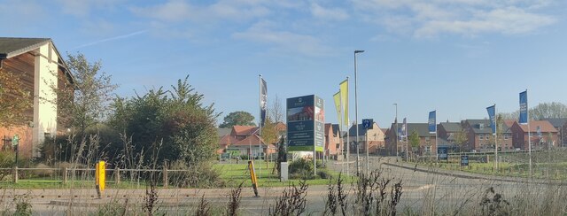
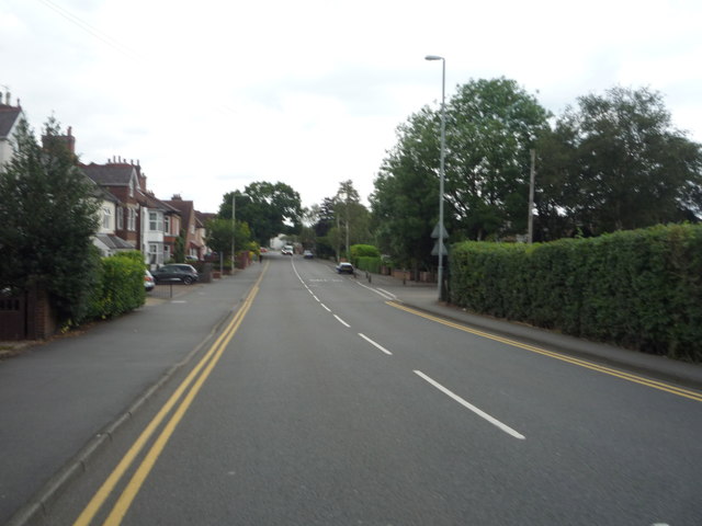
Bardon is a small village located in the county of Leicestershire, England. Situated approximately 5 miles northwest of the town of Coalville, Bardon is nestled within the rural landscape of the National Forest. The village is part of the larger civil parish of Bardon, which also encompasses nearby areas such as Bardon Hill and Bardon Park.
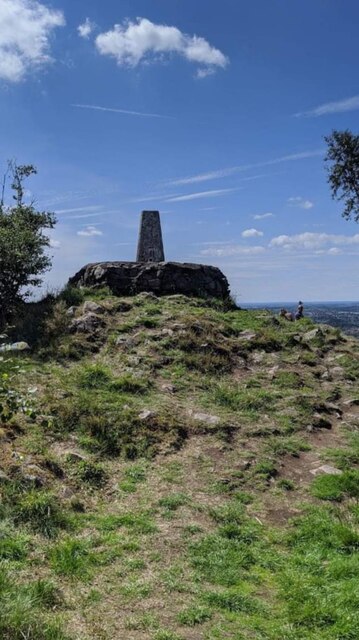
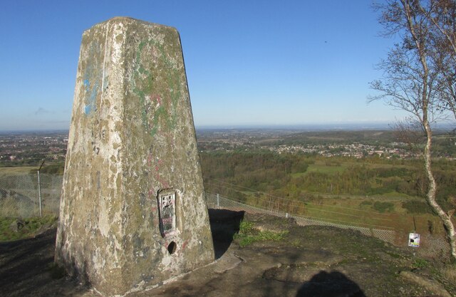
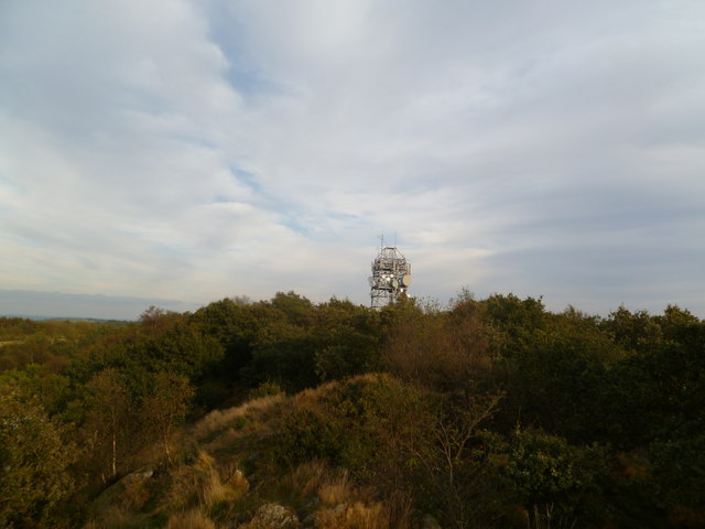
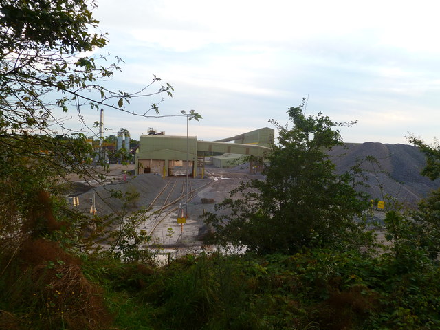
Bardon is perhaps best known for its large quarry, Bardon Hill Quarry, which has been in operation since the early 20th century. The quarry is a major source of granite aggregates and has played a significant role in the local economy, providing employment opportunities for many residents. Bardon Hill, the summit of which is located within the quarry, stands at an impressive 278 meters (912 feet) above sea level and is the highest point in Leicestershire.
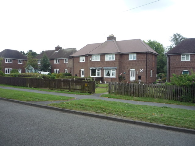
Despite its industrial presence, Bardon retains a picturesque charm with its traditional cottages and surrounding countryside. The village is home to a small community, with a local primary school and a handful of amenities such as a village hall and a pub. The primary school, Bardon Church of England Primary School, serves the educational needs of local children.
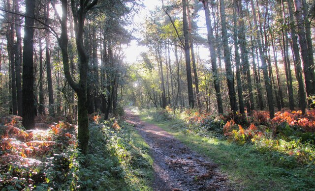
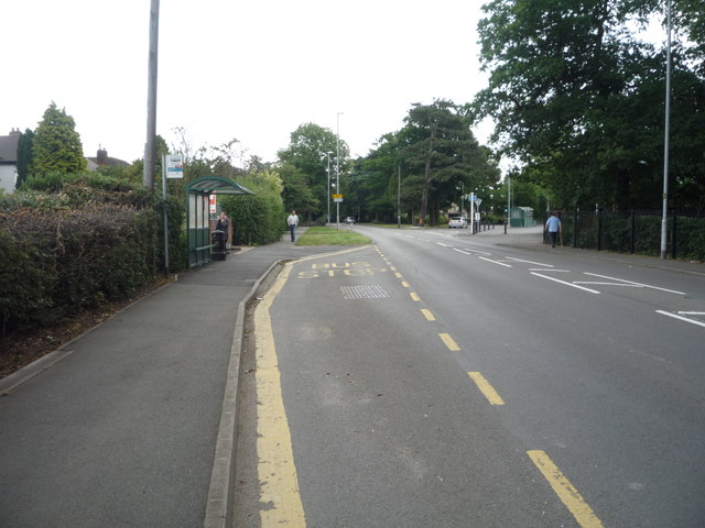
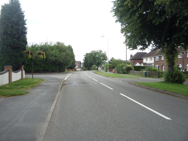
Bardon's location within the National Forest makes it an attractive destination for outdoor enthusiasts. The surrounding area offers various opportunities for walking, cycling, and exploring nature. Additionally, Bardon is conveniently located near major transport links, with the M1 motorway and the A511 providing easy access to nearby towns and cities.
In summary, Bardon is a small village in Leicestershire, known for its quarry and its position within the National Forest. It offers a mix of industrial and rural landscapes, providing a unique character to the area.
If you have any feedback on the listing, please let us know in the comments section below.
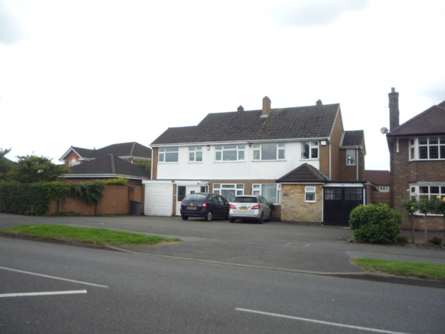
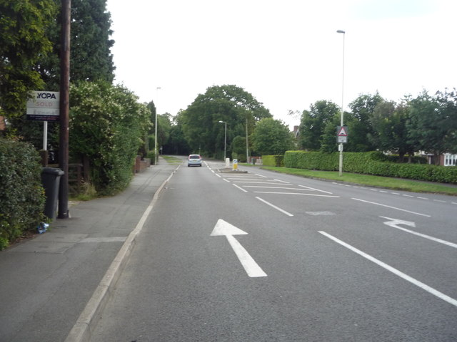
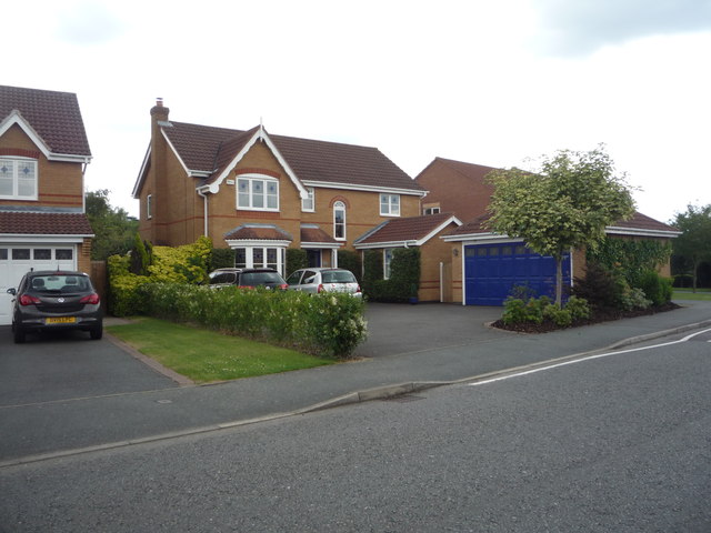
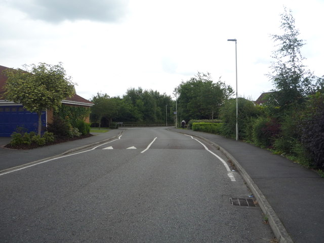
Bardon Images
Images are sourced within 2km of 52.71054/-1.338319 or Grid Reference SK4412. Thanks to Geograph Open Source API. All images are credited.

Bardon is located at Grid Ref: SK4412 (Lat: 52.71054, Lng: -1.338319)
Administrative County: Leicestershire
District: North West Leicestershire
Police Authority: Leicestershire
What 3 Words
///recent.tubes.slice. Near Coalville, Leicestershire
Nearby Locations
Related Wikis
Bardon, Leicestershire
Bardon is a civil parish and former village in North West Leicestershire about 1.5 miles (2.4 km) southeast of the centre of Coalville. The parish includes...
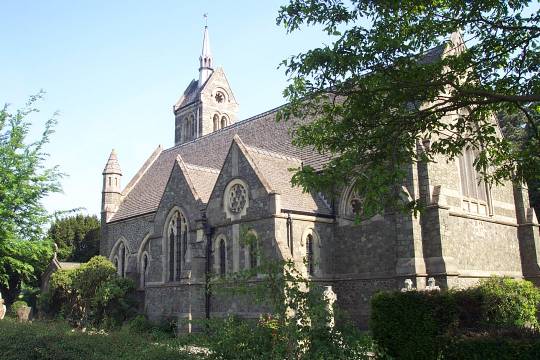
St Peter's Church, Bardon
St Peter's Church is a church in Bardon, Leicestershire. It is a Grade II listed building. == History == The church was designed by J.B. Everard (1844...

Bardon Hill F.C.
Bardon Hill Football Club is a football club based in Bardon, near Coalville, Leicestershire, England. They play at Bardon Close. == History == The club...
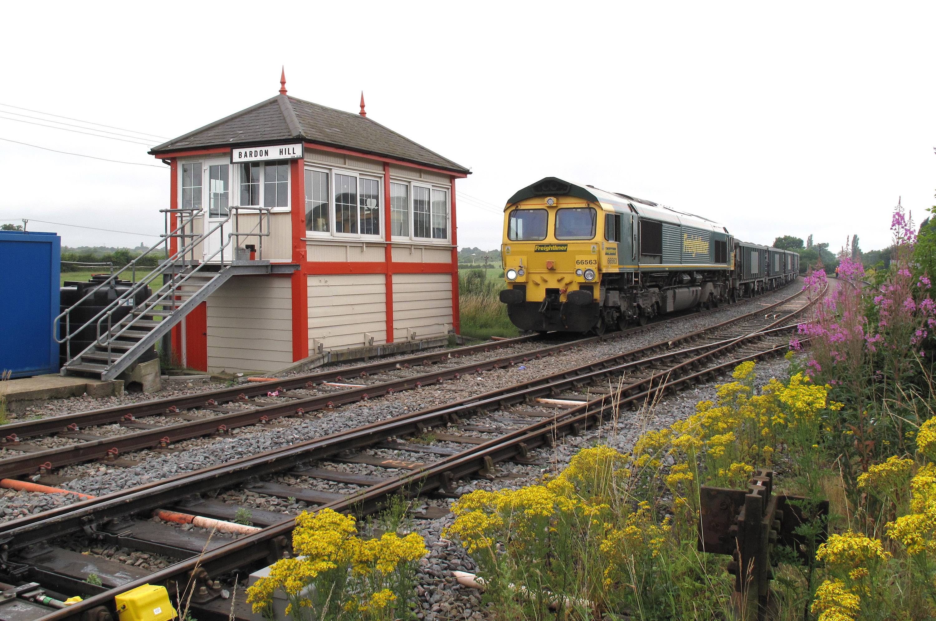
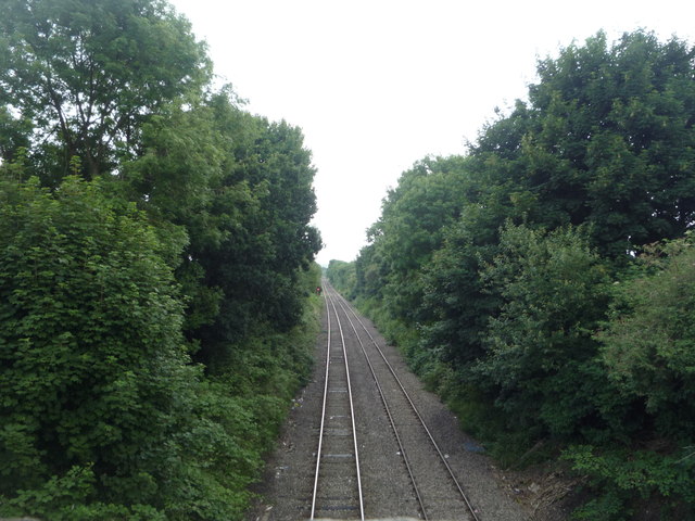
Bardon Hill railway station
Bardon Hill railway station was a railway station in Leicestershire, England, on the Leicester and Swannington Railway, which later became part of the...
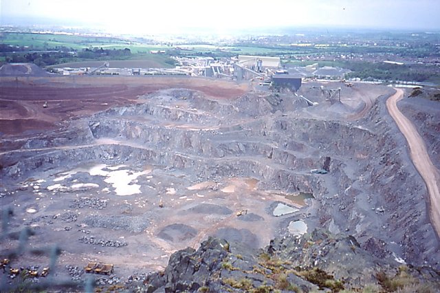
Bardon Hill Quarry
Bardon Hill Quarry is a 58.2-hectare (144-acre) geological Site of Special Scientific Interest east of Coalville in Leicestershire. It is a Geological...

Bardon Hill
Bardon Hill is the highest Hill in Leicestershire and on a clear day the Malvern and Shropshire Hills (approx. 50–60 miles), summits in Derbyshire (approx...

Bardon Park Chapel
Bardon Park Chapel is a 300-year-old Christian meeting house at Bardon, Leicestershire, England. It stands back from the A511 road (Shaw Lane), between...
Fox and Goose Ground
The Fox and Goose Ground was a cricket ground in Coalville, Leicestershire. Linked with the nearby Fox & Goose public house (now demolished), the ground...
Nearby Amenities
Located within 500m of 52.71054,-1.338319Have you been to Bardon?
Leave your review of Bardon below (or comments, questions and feedback).