May Hill

Hill, Mountain in Gloucestershire Forest of Dean

England

May Hill

Unexpected steps
Unexpected steps Credit: don cload

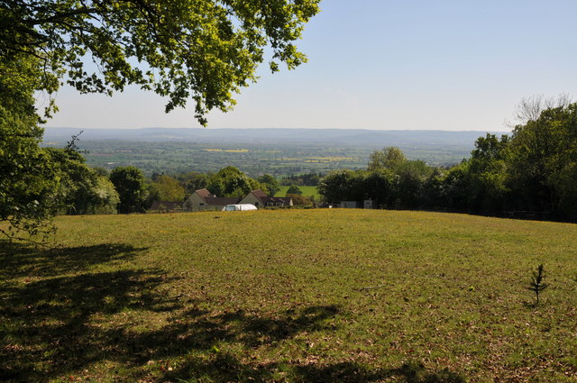
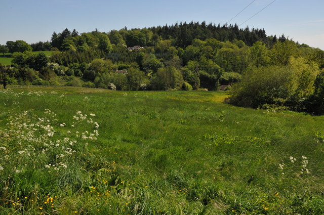
May Hill is a prominent hill located in the county of Gloucestershire, England. Standing at an elevation of 296 meters (971 feet), it offers stunning panoramic views over the surrounding countryside, making it a popular destination for hikers and nature enthusiasts.

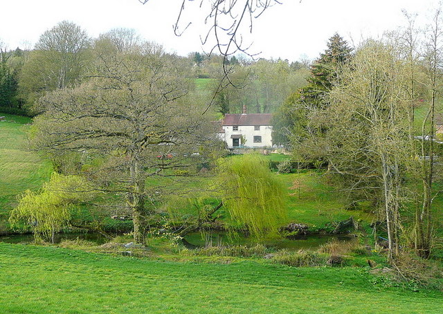
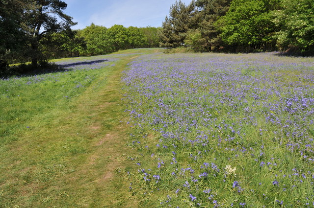
Covered in lush greenery and dotted with vibrant wildflowers, May Hill is home to a diverse range of flora and fauna. The hill is primarily covered in deciduous woodland, including oak, beech, and birch trees, providing a habitat for a variety of bird species such as woodpeckers, thrushes, and finches.

At the summit of May Hill stands a distinctive landmark, the May Hill Tower. Built in 1798 as a navigational aid for ships on the nearby River Severn, the tower is now owned by the National Trust and is a popular spot for visitors to admire the breathtaking views. On a clear day, one can see the Cotswold Hills in the east, the Malvern Hills to the north, and even the Brecon Beacons in Wales to the west.

The hill is also steeped in folklore and legends. It is said that on May Day, locals would gather at the summit to celebrate the arrival of spring, hence the name "May Hill." The tradition continues to this day, with the annual May Hill Steam Rally attracting thousands of visitors who come to enjoy vintage steam engines, live music, and local produce.

Overall, May Hill is a picturesque and historically significant site that offers a tranquil escape and a chance to appreciate the beauty of Gloucestershire's natural landscape.

If you have any feedback on the listing, please let us know in the comments section below.
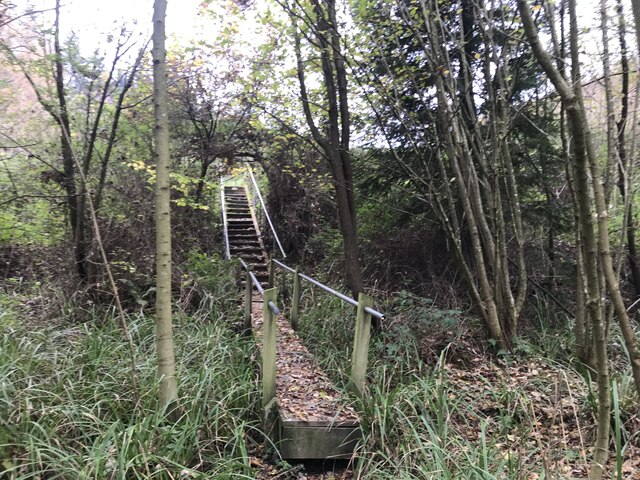
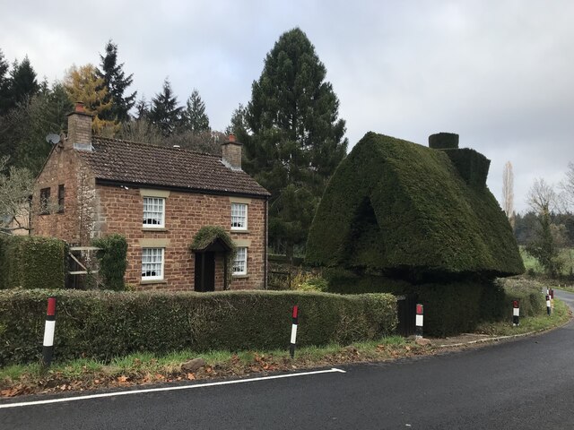
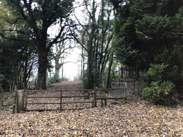
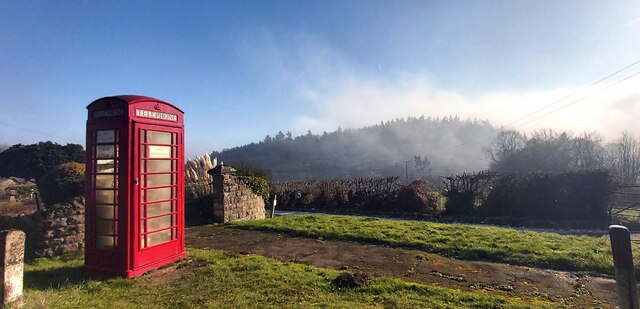
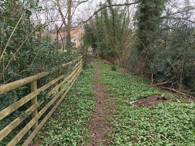
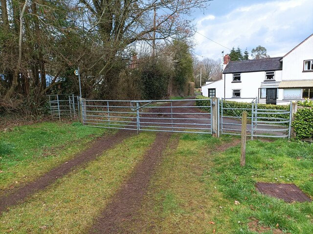
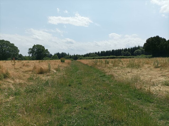
May Hill Images

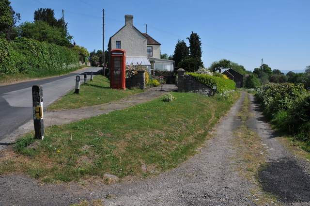
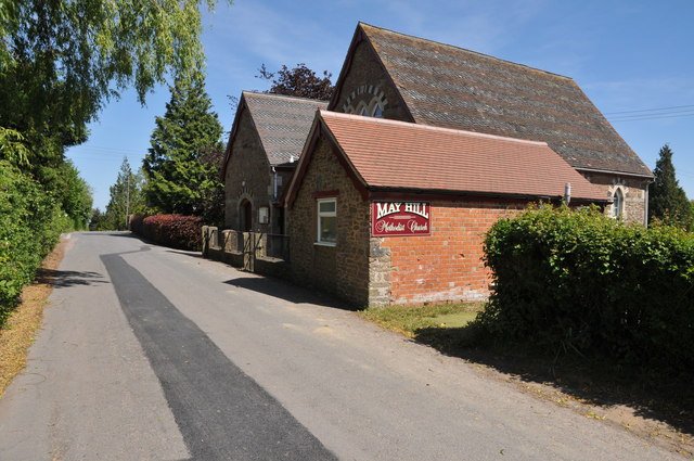
Images are sourced within 2km of 51.88912/-2.4437075 or Grid Reference SO6921. Thanks to Geograph Open Source API. All images are credited.

Unexpected steps
Unexpected steps
Tree house
Tree house
Woodland gateway
Woodland gateway
Public Telephone Box with Fog Covered Bright's Hill Beyond
Entrance Gates - Glasshouse Reservoir
Unusual Topiary in Glasshouse
War Memorial - May Hill Village
Gated Track in Newent Woods
Path in Clifford's Mesne A small footpath on the edge of Newent woods, leading into the village of Clifford's Mesne
Path in Clifford's Mesne
A small footpath on the edge of Newent woods, leading into the village of Clifford's Mesne
Two kissing gates A pair of kissing gates, one on either end of a larger gate.
Two kissing gates
A pair of kissing gates, one on either end of a larger gate.
Path through field A grassy path through a field near May Hill Village.
Path through field
A grassy path through a field near May Hill Village.
Cross roads near Dursely Cross
Dream cottage This place is a feature of my daily commute to Gloucester. View to the north of the A40 on a light spring evening.
Dream cottage
This place is a feature of my daily commute to Gloucester. View to the north of the A40 on a light spring evening.
Track in May Hill Village On the eastern slopes of May Hill there are a number of narrow lanes and track such as this one pictured here.  I returned to this same spot in September 2017 <a href="https://www.geograph.org.uk/photo/5526491">SO7020 : Decommissioned telephone box</a>.
Track in May Hill Village
On the eastern slopes of May Hill there are a number of narrow lanes and track such as this one pictured here. I returned to this same spot in September 2017 SO7020 : Decommissioned telephone box.
View across the Vale of Gloucester View across the Vale of Gloucester from the slopes of May Hill.  The Cotswold Hills are on the horizon.
View across the Vale of Gloucester
View across the Vale of Gloucester from the slopes of May Hill. The Cotswold Hills are on the horizon.
Bluebells on May Hill
May Hill Methodist Hall
Bright's Hill Bright's Hill is a wooded hill on the east side of May Hill.
Bright's Hill
Bright's Hill is a wooded hill on the east side of May Hill.
Show me another place!

May Hill is located at Grid Ref: SO6921 (Lat: 51.88912, Lng: -2.4437075)

Administrative County: Gloucestershire

District: Forest of Dean

Police Authority: Gloucestershire

What 3 Words

///stand.pebbles.harshest. Near Longhope, Gloucestershire

Nearby Locations

Bearfoot Wood May Hill

Related Wikis

May Hill

May Hill is a prominent English hill between Gloucester and Ross-on-Wye. Its summit, on the western edge of Gloucestershire and its northern slopes in...

Luxley

Luxley is a village in the southwest Midlands of England, on the border between Gloucestershire and Herefordshire near May Hill. Luxley is 12 km (7.5 mi...

Cliffords Mesne

Cliffords Mesne is an English village in Gloucestershire, two miles (3.2 km) south-west of the town of Newent. It became the home of the autobiographical...

Hobbs Quarry SSSI, Longhope

Hobbs Quarry, Longhope (grid reference SO695195) is a 1-hectare (2.5-acre) geological and biological Site of Special Scientific Interest in Gloucestershire...

Nearby Amenities

Located within 500m of 51.88912,-2.4437075
May Hill
Ele: 296
Natural: peak
Source: NPE + Wikipedia
Wikidata: Q6796512
Wikipedia: en:May Hill
Lat/Long: 51.8894132/-2.4441591
May Hill
Man Made: survey_point
Ref: S5151
Tpuk Ref: TP4696
Lat/Long: 51.8891009/-2.4436312
Bench
Lat/Long: 51.8890937/-2.4442307
Bench
Lat/Long: 51.8893618/-2.4445619
Bench
Lat/Long: 51.889743/-2.4445008
Jubilees Plaque
Historic: memorial
Memorial: plaque
Lat/Long: 51.8893032/-2.4438633
Bench
Lat/Long: 51.8895995/-2.4437532
The data included in this document is from www.openstreetmap.org. The data is made available under ODbL.

Have you been to May Hill?

Leave your review of May Hill below (or comments, questions and feedback).