Pippin's Hill

Hill, Mountain in Worcestershire

England

Pippin's Hill

Lane junction for Lower Barrow
Lane junction for Lower Barrow Credit: Peter Whatley

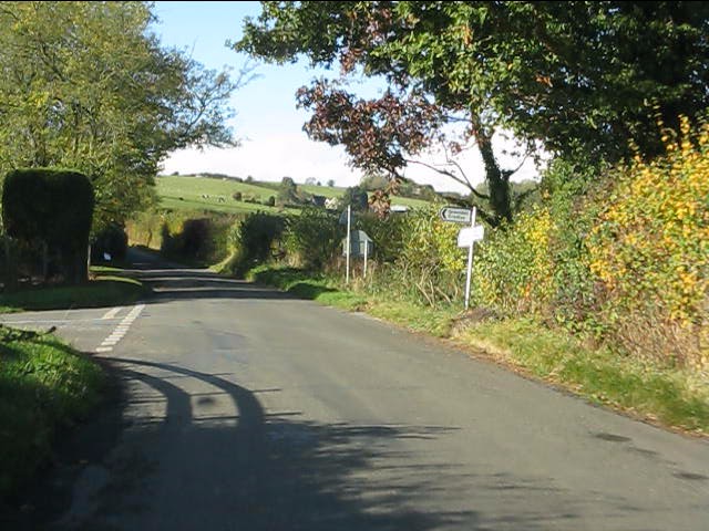
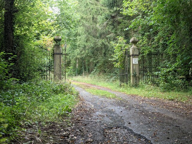
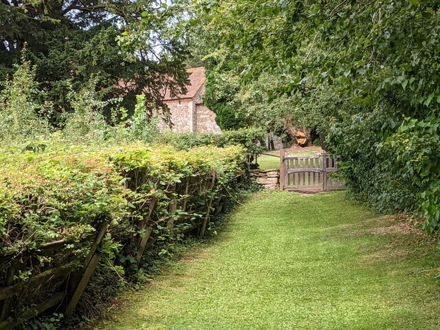
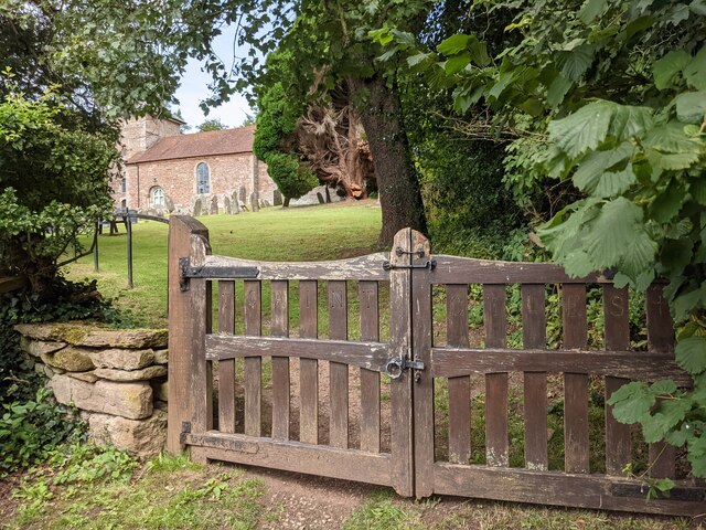
Pippin's Hill is a picturesque hill located in the county of Worcestershire, England. Situated in the heart of the countryside, it offers breathtaking views and is a popular destination for outdoor enthusiasts and nature lovers.

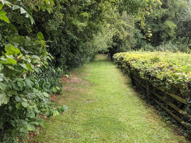
Rising to an elevation of approximately 250 meters (820 feet), Pippin's Hill provides a moderate hiking challenge, attracting both experienced hikers and casual walkers. The hill is covered in lush greenery, with a variety of trees and vegetation dotting its slopes. Wildflowers bloom in the spring, adding vibrant colors to the landscape.

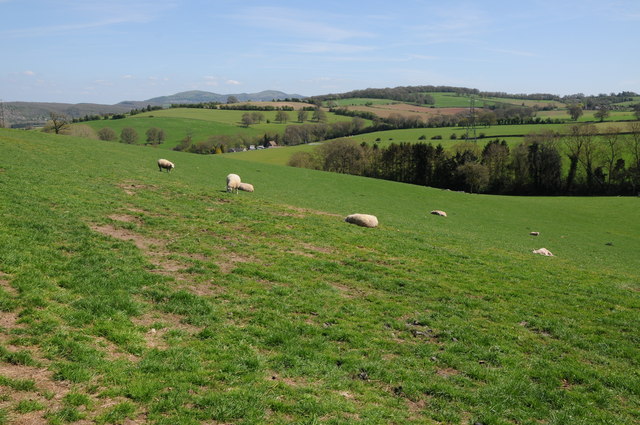
At the top of Pippin's Hill, visitors are rewarded with panoramic views of the surrounding countryside. On clear days, it is possible to see for miles, taking in the patchwork of fields, meadows, and hedgerows that make up the Worcestershire landscape. The hill's location also offers glimpses of nearby villages and towns, adding to its charm.

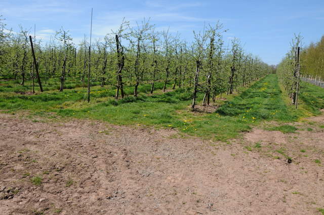
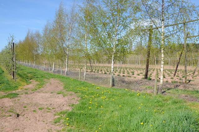
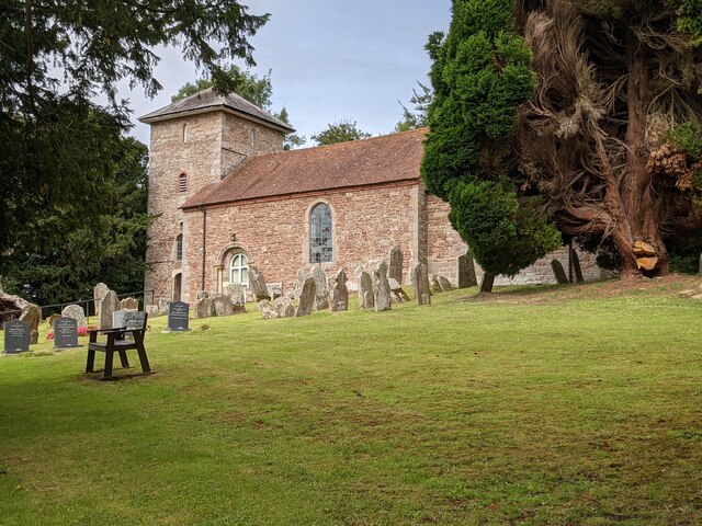
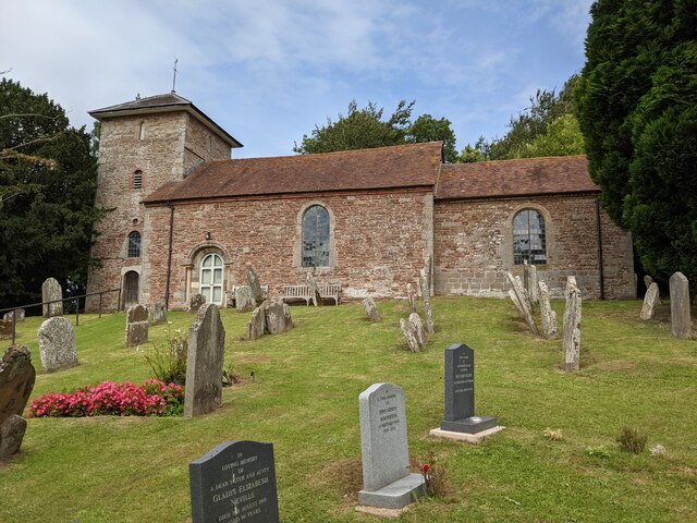
Historically, Pippin's Hill has played a role in the local community. It is said to have derived its name from an ancient apple orchard that once adorned its slopes, producing the delicious Pippin apple variety. Today, remnants of this orchard can still be found, with a few apple trees scattered across the hillside.

As a protected area, Pippin's Hill is home to a diverse range of wildlife. Birdwatchers can spot various species, including songbirds, raptors, and even the occasional kestrel or buzzard soaring overhead. Small mammals, such as rabbits and squirrels, can also be seen scurrying through the undergrowth.

Overall, Pippin's Hill offers a serene and visually stunning natural experience. Whether for hiking, birdwatching, or simply enjoying the tranquility of the countryside, this Worcestershire hill is a must-visit destination for nature enthusiasts.

If you have any feedback on the listing, please let us know in the comments section below.

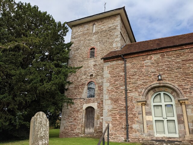
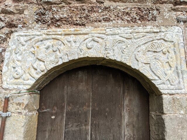
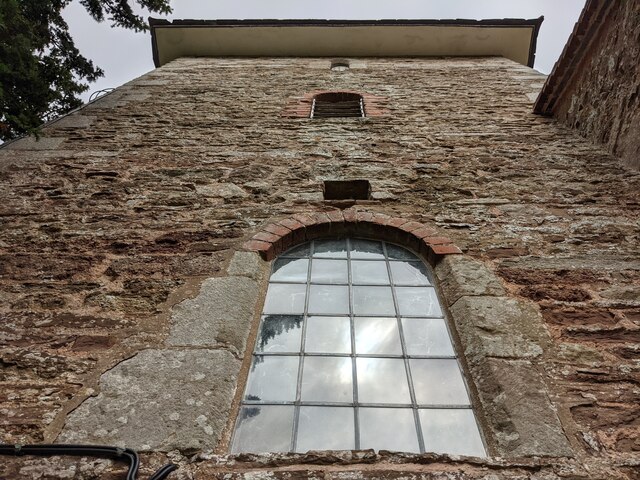
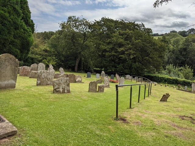
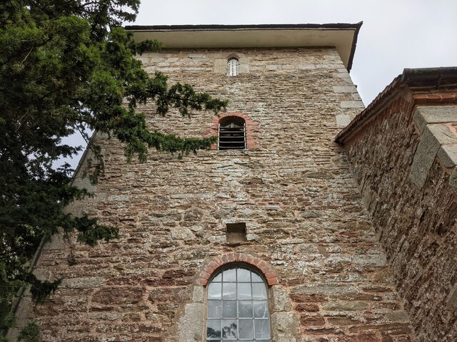
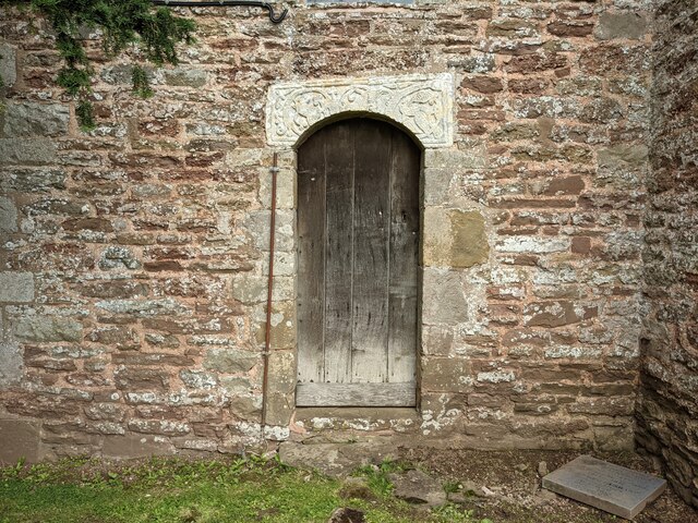
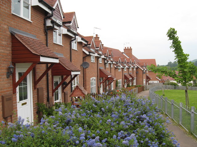
Pippin's Hill Images

Images are sourced within 2km of 52.153311/-2.4465062 or Grid Reference SO6950. Thanks to Geograph Open Source API. All images are credited.

Lane junction for Lower Barrow
Sheep grazing near Acton Green Sheep grazing in rolling farmland near Acton Green.  The Malvern Hills can be seen on the horizon.
Sheep grazing near Acton Green
Sheep grazing in rolling farmland near Acton Green. The Malvern Hills can be seen on the horizon.
Apple orchards near Suckley Cultivated apple orchards near Chapels Farm at Suckley.
Apple orchards near Suckley
Cultivated apple orchards near Chapels Farm at Suckley.
Hop field at Suckley Beyond the line of silver birch trees is a hop field.
Hop field at Suckley
Beyond the line of silver birch trees is a hop field.
Gate piers to Church House (Acton Beauchamp) These entrance gates are attached to the gate piers, placed adjacent to St. Giles' parish church.
Gate piers to Church House (Acton Beauchamp)
These entrance gates are attached to the gate piers, placed adjacent to St. Giles' parish church.
Path to St. Giles' church (Acton Beauchamp) This grassy path leads you to the grounds of St. Giles' parish church, which is in a tranquil location by Church House and Church Farm.
Path to St. Giles' church (Acton Beauchamp)
This grassy path leads you to the grounds of St. Giles' parish church, which is in a tranquil location by Church House and Church Farm.
Entrance gates to St. Giles' church (Acton Beauchamp) Placed south of St. Giles' parish church are these wooden entrance gates, which has "Saint Giles" written on the vertical lines.
Entrance gates to St. Giles' church (Acton Beauchamp)
Placed south of St. Giles' parish church are these wooden entrance gates, which has "Saint Giles" written on the vertical lines.
Path to St. Giles' church (Acton Beauchamp) This grassy path leads you to the grounds of St. Giles' parish church, which is in a tranquil location by Church House and Church Farm.
Path to St. Giles' church (Acton Beauchamp)
This grassy path leads you to the grounds of St. Giles' parish church, which is in a tranquil location by Church House and Church Farm.
St. Giles' church (Acton Beauchamp) Here is the parish church of St. Giles in Acton Beauchamp, hidden in a tranquil situation with many yew trees surrounding the building. 
Originally built in the 12th and 15th centuries, the present building mainly dates from 1819 with few exceptions. This is one of the few Georgian churches in Herefordshire, along with Shobdon and Brimfield.
St. Giles' church (Acton Beauchamp)
Here is the parish church of St. Giles in Acton Beauchamp, hidden in a tranquil situation with many yew trees surrounding the building. Originally built in the 12th and 15th centuries, the present building mainly dates from 1819 with few exceptions. This is one of the few Georgian churches in Herefordshire, along with Shobdon and Brimfield.
St. Giles' church (Acton Beauchamp) Here is the parish church of St. Giles in Acton Beauchamp, hidden in a tranquil situation with many yew trees surrounding the building. Originally built in the 12th and 15th centuries, the present building mainly dates from 1819 with few exceptions. This is one of the few Georgian churches in Herefordshire, along with Shobdon and Brimfield.
St. Giles' church (Acton Beauchamp)
Here is the parish church of St. Giles in Acton Beauchamp, hidden in a tranquil situation with many yew trees surrounding the building. Originally built in the 12th and 15th centuries, the present building mainly dates from 1819 with few exceptions. This is one of the few Georgian churches in Herefordshire, along with Shobdon and Brimfield.
Churchyard at St. Giles' church (Acton Beauchamp) The churchyard outside St. Giles' parish church contains many graves as seen here.
Churchyard at St. Giles' church (Acton Beauchamp)
The churchyard outside St. Giles' parish church contains many graves as seen here.
St. Giles' church (Bell tower | Acton Beauchamp) Here is the west bell tower at Acton Beauchamp parish church, which is Medieval. The tower has a pyramid roof on top.
St. Giles' church (Bell tower | Acton Beauchamp)
Here is the west bell tower at Acton Beauchamp parish church, which is Medieval. The tower has a pyramid roof on top.
Lintel at St. Giles' church (Bell tower | Acton Beauchamp) This lintel set is situated above the south doorway of the west bell tower, which features a section of an Anglo-Saxon cross-shaft from around the 9th century.
Lintel at St. Giles' church (Bell tower | Acton Beauchamp)
This lintel set is situated above the south doorway of the west bell tower, which features a section of an Anglo-Saxon cross-shaft from around the 9th century.
St. Giles' church (Bell tower | Acton Beauchamp) Here is the west bell tower at Acton Beauchamp parish church, which is Medieval. The tower has a pyramid roof on top.
St. Giles' church (Bell tower | Acton Beauchamp)
Here is the west bell tower at Acton Beauchamp parish church, which is Medieval. The tower has a pyramid roof on top.
Churchyard at St. Giles' church (Acton Beauchamp) The churchyard outside St. Giles' parish church contains many graves as seen here. The recent addition of a handrail on the ascent of the hill is brilliant.
Churchyard at St. Giles' church (Acton Beauchamp)
The churchyard outside St. Giles' parish church contains many graves as seen here. The recent addition of a handrail on the ascent of the hill is brilliant.
St. Giles' church (Bell tower | Acton Beauchamp) Here is the west bell tower at Acton Beauchamp parish church, which is Medieval. The tower has a pyramid roof on top.
St. Giles' church (Bell tower | Acton Beauchamp)
Here is the west bell tower at Acton Beauchamp parish church, which is Medieval. The tower has a pyramid roof on top.
Entrance to St. Giles' church (Bell tower | Acton Beauchamp) Situated on the south face of the west bell tower is this entrance door (locked), with an Anglo-Saxon <a href="https://www.geograph.org.uk/photo/7219573">SO6750 : Lintel at St. Giles' church (Bell tower | Acton Beauchamp)</a> above.
Entrance to St. Giles' church (Bell tower | Acton Beauchamp)
Situated on the south face of the west bell tower is this entrance door (locked), with an Anglo-Saxon SO6750 : Lintel at St. Giles' church (Bell tower | Acton Beauchamp) above.
Show me another place!

Pippin's Hill is located at Grid Ref: SO6950 (Lat: 52.153311, Lng: -2.4465062)

Unitary Authority: County of Herefordshire

Police Authority: West Mercia

What 3 Words

///proven.consonant.trend. Near Evesbatch, Herefordshire

Related Wikis

Acton Green, Herefordshire

Acton Green is a village in the north east of the English county of Herefordshire (historically Worcestershire) between Bromyard and Great Malvern. �...

Stanford Bishop

Stanford Bishop is a village and civil parish 13 miles (21 km) north east of Hereford, in the county of Herefordshire, England. In 2011 the parish had...

Acton Beauchamp

Acton Beauchamp () is a village and civil parish in Herefordshire, England. It is approximately 12 miles (19 km) north-east from the city and county town...

Evesbatch

Evesbatch is a village and civil parish 12 miles (19 km) north east of Hereford, in the county of Herefordshire, England. In 2001 the parish had a population...

Suckley

Suckley is a village and civil parish in the Malvern Hills District in the county of Worcestershire, England, close to the border with Herefordshire....

Yearsett railway station

Yearsett railway station was a station to the southeast of Brockhampton, Herefordshire, England. The station was opened on 2 May 1874 as a temporary terminus...

Halmond's Frome

Halmond's Frome is a hamlet in the civil parish of Bishop's Frome in Herefordshire, England, and is 11 miles (18 km) north-east from the city and county...

Linton (near Bromyard)

Linton is a civil parish in north-east of Herefordshire, England, and is approximately 14 miles (23 km) north-east from the city and county town of Hereford...

Nearby Amenities

Located within 500m of 52.153311,-2.4465062
Acton Court
Building: house
Lat/Long: 52.1495141/-2.4450322
Power: pole
Lat/Long: 52.1550344/-2.4524778
Power: pole
Lat/Long: 52.1544815/-2.4502944
Power: pole
Lat/Long: 52.1544222/-2.4481862
Power: pole
Lat/Long: 52.1548106/-2.4477678
Power: pole
Lat/Long: 52.1565154/-2.4444204
Power: pole
Lat/Long: 52.1560086/-2.4464643
Power: pole
Lat/Long: 52.157017/-2.449675
Pippins Hill
Power: pole
Transformer: distribution
Voltage Primary: 11000
Lat/Long: 52.1560118/-2.4486771
Power: pole
Lat/Long: 52.1571152/-2.4488005
Power: pole
Lat/Long: 52.1550329/-2.4478738
Power: pole
Lat/Long: 52.1498219/-2.4432879
Acton Court
Power: pole
Transformer: distribution
Voltage Primary: 11000
Lat/Long: 52.1499807/-2.4450736
Power: pole
Lat/Long: 52.150379/-2.4446806
Power: pole
Lat/Long: 52.1507732/-2.4442796
Louvain Cottage
Power: pole
Transformer: distribution
Voltage Primary: 11000
Lat/Long: 52.1511093/-2.4446324
Power: pole
Lat/Long: 52.1521552/-2.4399894
Power: pole
Lat/Long: 52.1522185/-2.4411153
Wootons Farm
Power: pole
Transformer: distribution
Voltage Primary: 11000
Lat/Long: 52.1522621/-2.4418871
Power: pole
Lat/Long: 52.1523029/-2.442622
Power: pole
Lat/Long: 52.1521412/-2.4436292
Power: pole
Lat/Long: 52.1519651/-2.4446739
Power: pole
Lat/Long: 52.1518581/-2.4453753
Acton Beauchamp School
Power: pole
Transformer: distribution
Voltage Primary: 11000
Lat/Long: 52.1525213/-2.4461076
Crookshill Farm
Power: pole
Transformer: distribution
Voltage Primary: 11000
Lat/Long: 52.1532401/-2.4468492
Power: pole
Lat/Long: 52.1536412/-2.4472542
Power: pole
Lat/Long: 52.1540321/-2.4470356
Power: pole
Lat/Long: 52.1543657/-2.4473226
The data included in this document is from www.openstreetmap.org. The data is made available under ODbL.

Have you been to Pippin's Hill?

Leave your review of Pippin's Hill below (or comments, questions and feedback).